Chesters Pike
Hill, Mountain in Northumberland
England
Chesters Pike
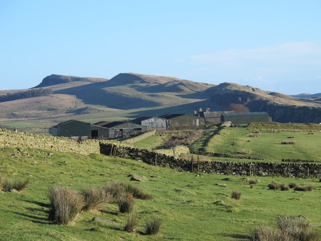
Chesters Pike is a prominent hill located in the county of Northumberland, England. Situated within the picturesque Northumberland National Park, this natural landmark offers stunning views of the surrounding landscape. Rising to a height of 451 meters (1,480 feet), Chesters Pike is often referred to as a hill rather than a mountain due to its elevation.
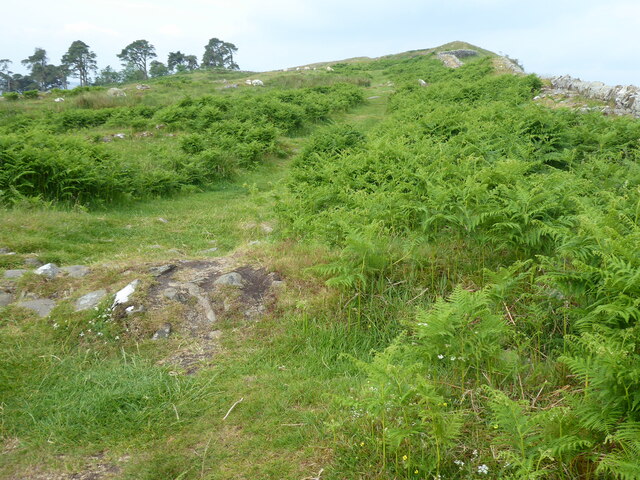
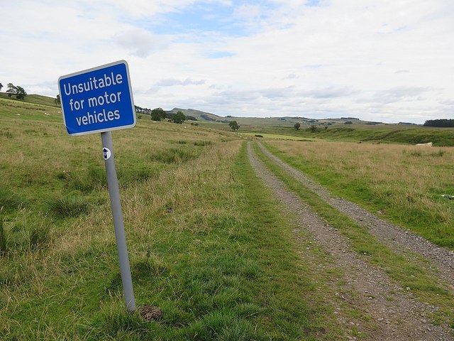
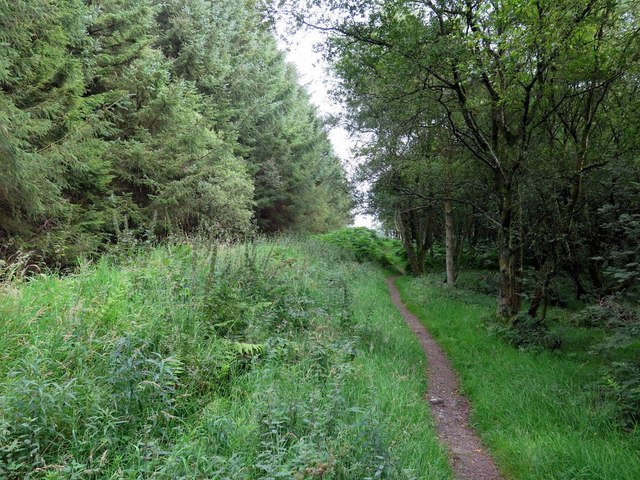
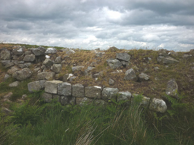
The hill is known for its distinctive shape, characterized by a steep and rocky slope on its western side, while the eastern side gently slopes down towards the valley. It is a popular destination for outdoor enthusiasts, attracting hikers, walkers, and nature lovers throughout the year. The well-marked footpaths and trails make it accessible to visitors of all abilities.
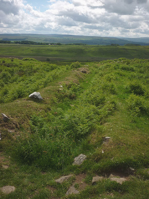
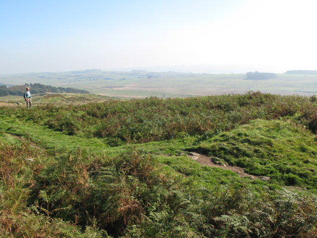
At the summit of Chesters Pike, visitors are rewarded with breathtaking panoramic views of the Northumberland countryside. On clear days, the sight extends as far as the Scottish borders to the north and the Cheviot Hills to the west. The hill is also home to a variety of flora and fauna, including heather, bilberries, and bird species such as curlew and lapwing.
Surrounding the hill are rolling fields, moorland, and dense forests, adding to the natural beauty of the area. The quiet and peaceful atmosphere of Chesters Pike makes it an ideal spot for a tranquil picnic or simply to enjoy the serenity of the Northumberland countryside.
Overall, Chesters Pike is a stunning hill in Northumberland that offers visitors a chance to immerse themselves in nature, enjoy breathtaking views, and experience the natural wonders of the region.
If you have any feedback on the listing, please let us know in the comments section below.
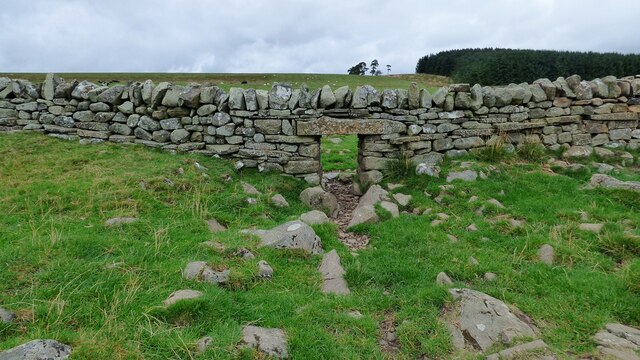
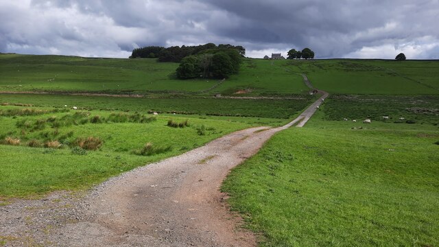
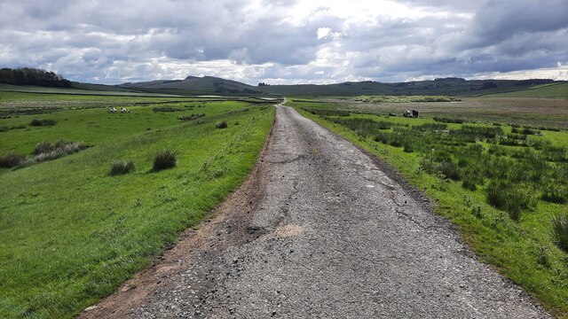
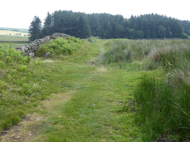
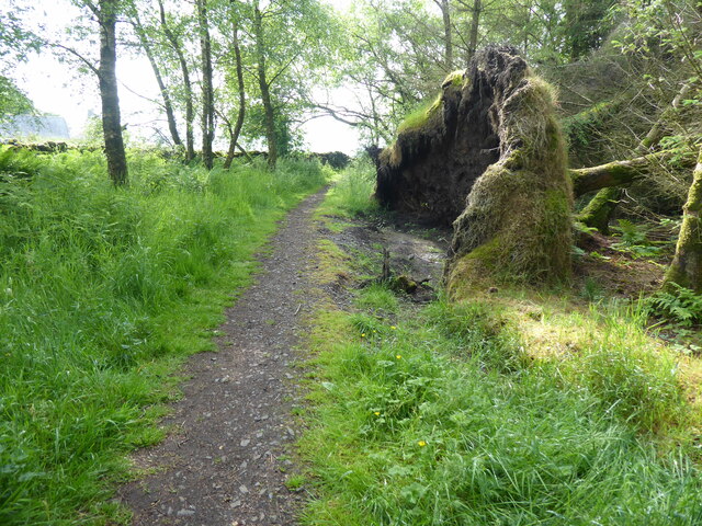
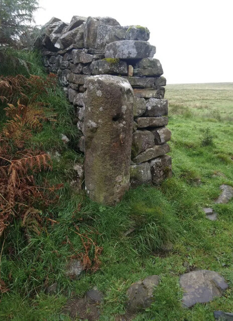
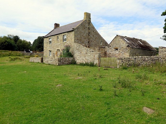
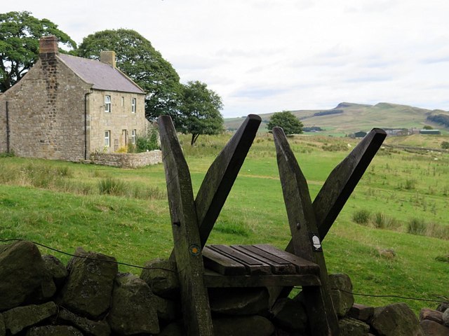
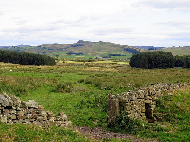
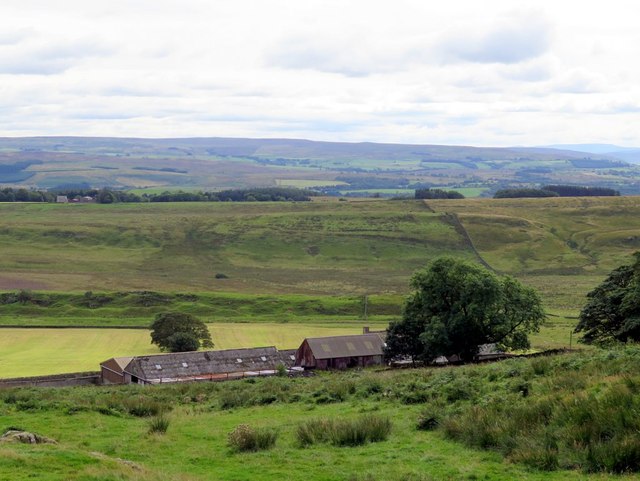
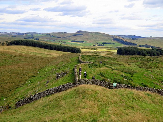
Chesters Pike Images
Images are sourced within 2km of 55.000364/-2.4670978 or Grid Reference NY7067. Thanks to Geograph Open Source API. All images are credited.

Chesters Pike is located at Grid Ref: NY7067 (Lat: 55.000364, Lng: -2.4670978)
Unitary Authority: Northumberland
Police Authority: Northumbria
What 3 Words
///villa.towers.limitless. Near Haltwhistle, Northumberland
Nearby Locations
Related Wikis

Milecastle 43
Milecastle 43 (Great Chesters) was a milecastle on Hadrian's Wall (grid reference NY70356684). It was obliterated when the fort at Great Chesters (Aesica...
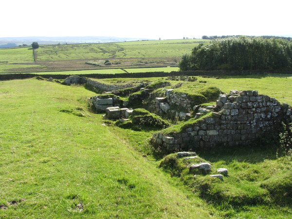
Aesica
Aesica (with the modern name of Great Chesters) was a Roman fort, one and a half miles north of the small town of Haltwhistle in Northumberland, England...
Milecastle 44
Milecastle 44 (Allolee) was a milecastle on Hadrian's Wall (grid reference NY68886694). == Description == Milecastle 44 is located about 1.5 kilometres...

Milecastle 42
Milecastle 42 (Cawfields) is a milecastle on Hadrian's Wall (grid reference NY7157466692). == Description == Milecastle 42 is on a steep south-facing slope...

Allolee to Walltown
Allolee to Walltown is the name given to a Site of Special Scientific Interest (SSSI) in Northumberland, England. The site, which follows the path of a...
Lees Hall Roman Camp
Lees Hall Roman Camp is an archaeological site, a Roman camp near Hadrian's Wall, in Northumberland, England. It is near Haltwhistle and adjacent to the...

Northumbria
Northumbria (; Old English: Norþanhymbra rīċe; Latin: Regnum Northanhymbrorum) was an early medieval Anglo-Saxon kingdom in what is now Northern England...
Alloa Lea Quarry Cave
Alloa Lea Quarry Cave is a short cave in the Five Yard Limestone of the Alston Block in Northumberland, England. It is situated in an old quarry on the...
Nearby Amenities
Located within 500m of 55.000364,-2.4670978Have you been to Chesters Pike?
Leave your review of Chesters Pike below (or comments, questions and feedback).