Hanchurch

Settlement in Staffordshire Stafford

England

Hanchurch

Plenty more to harrow Looking across this field towards Kingswood Bank. The tractor is harrowing the field, working towards the camera.
Plenty more to harrow Credit: Rich Tea

Hanchurch is a small village located in the county of Staffordshire, England. Situated approximately 5 miles southeast of the city of Stoke-on-Trent, Hanchurch is known for its picturesque countryside and rural charm. The village is nestled within the Hanchurch Hills, an area of natural beauty that offers stunning views and peaceful surroundings.

Hanchurch is home to a tight-knit community, with a population of around 500 residents. It is primarily a residential area, with a mix of traditional stone cottages and newer homes. The village has a strong sense of community spirit, with various events and activities organized throughout the year, including a village fete and a Christmas market.

The centerpiece of Hanchurch is the St. Mary's Church, a beautiful historic building that dates back to the 12th century. The church is renowned for its stunning stained glass windows and intricate stonework. It serves as a hub for the local community, hosting regular worship services, as well as events such as weddings and christenings.

The surrounding countryside offers plenty of opportunities for outdoor activities, including walking, hiking, and cycling. Hanchurch also benefits from its proximity to the larger city of Stoke-on-Trent, which provides residents with access to a range of amenities, including shops, schools, and healthcare facilities.

Overall, Hanchurch is a charming village that offers a peaceful and idyllic lifestyle, while still being within easy reach of larger towns and cities in the region.

If you have any feedback on the listing, please let us know in the comments section below.
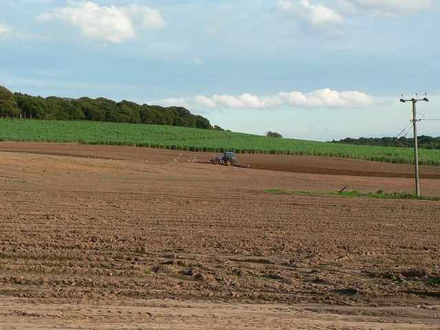
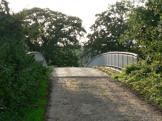
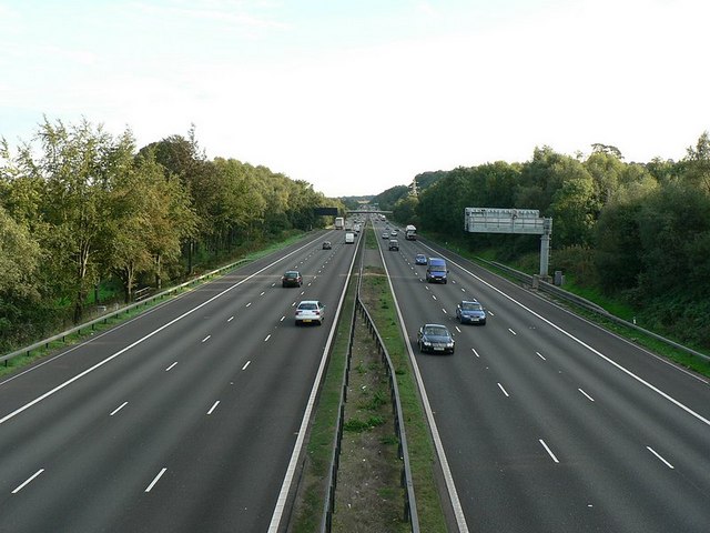
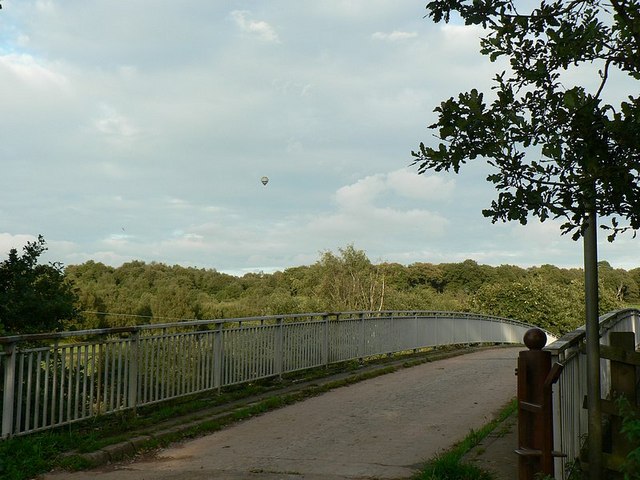
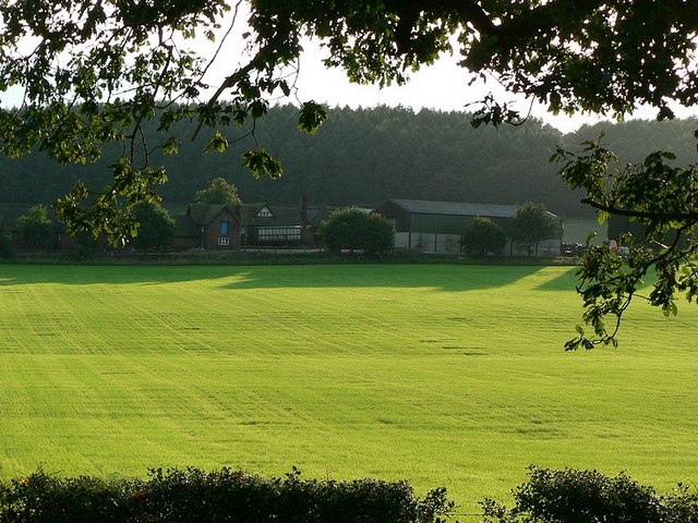
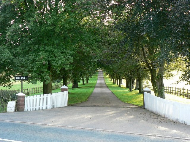
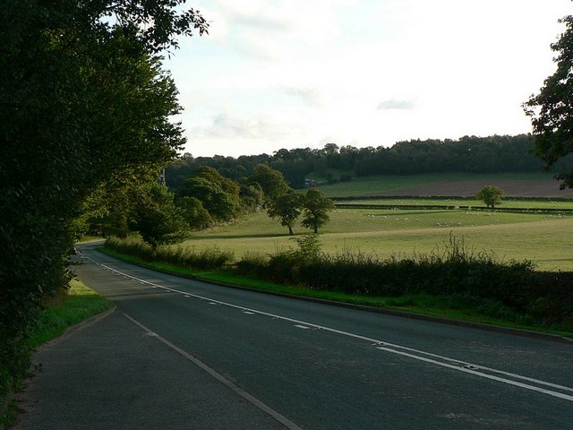
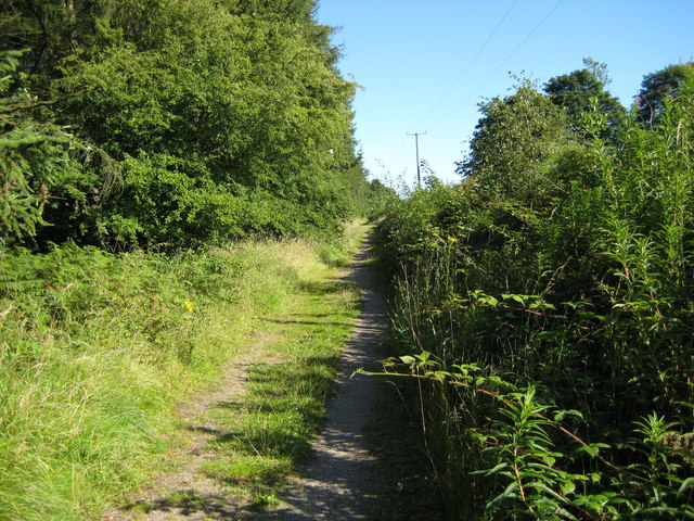
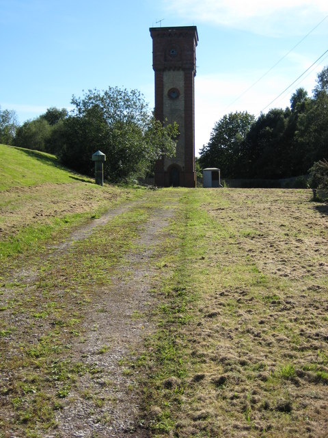
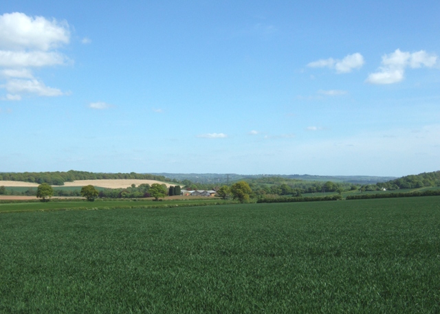
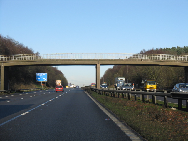
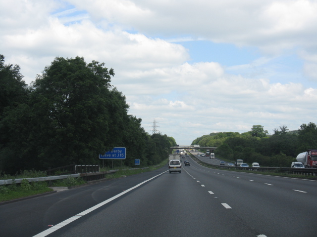
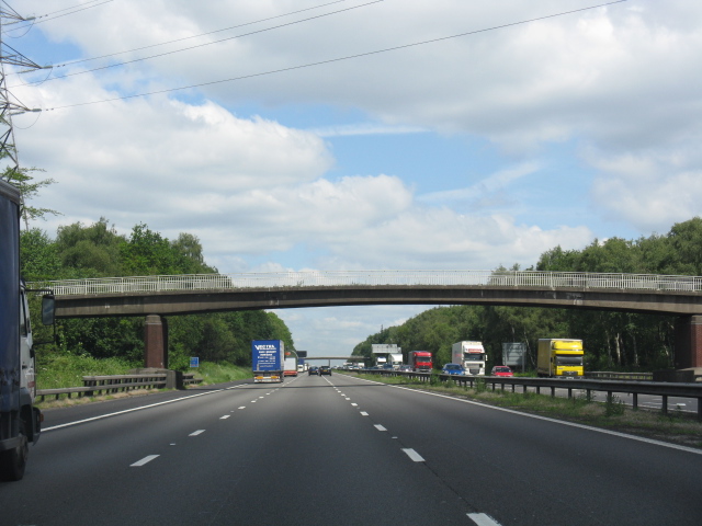
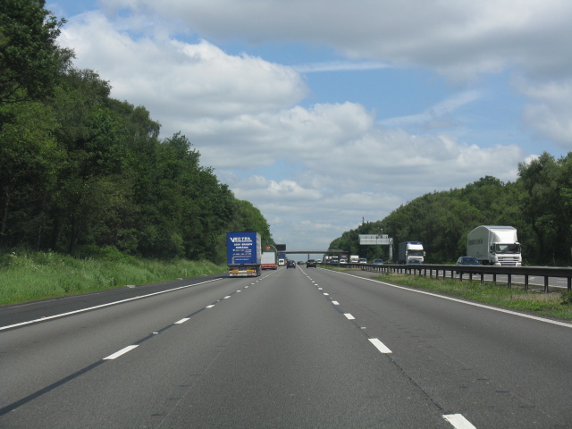
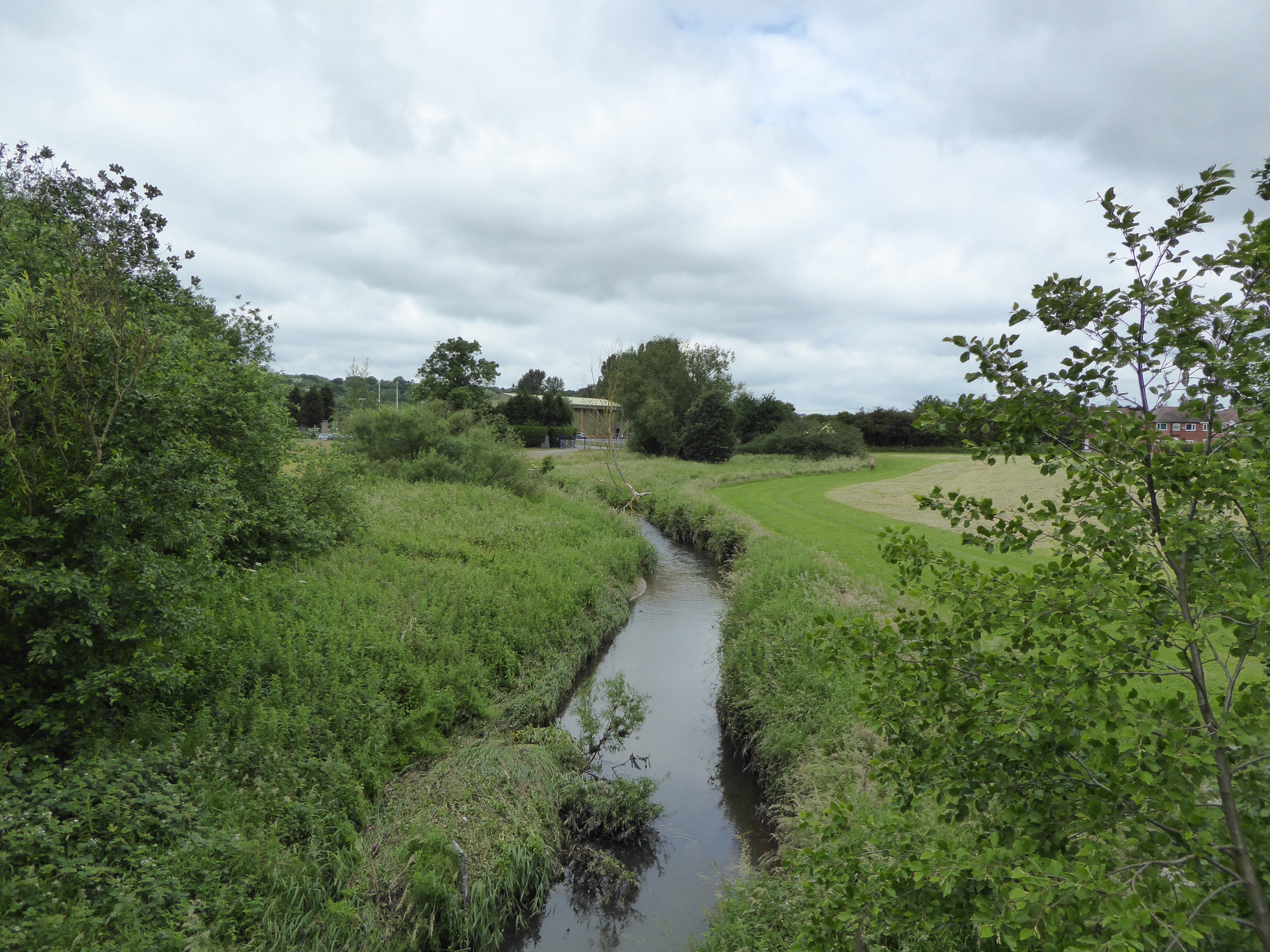
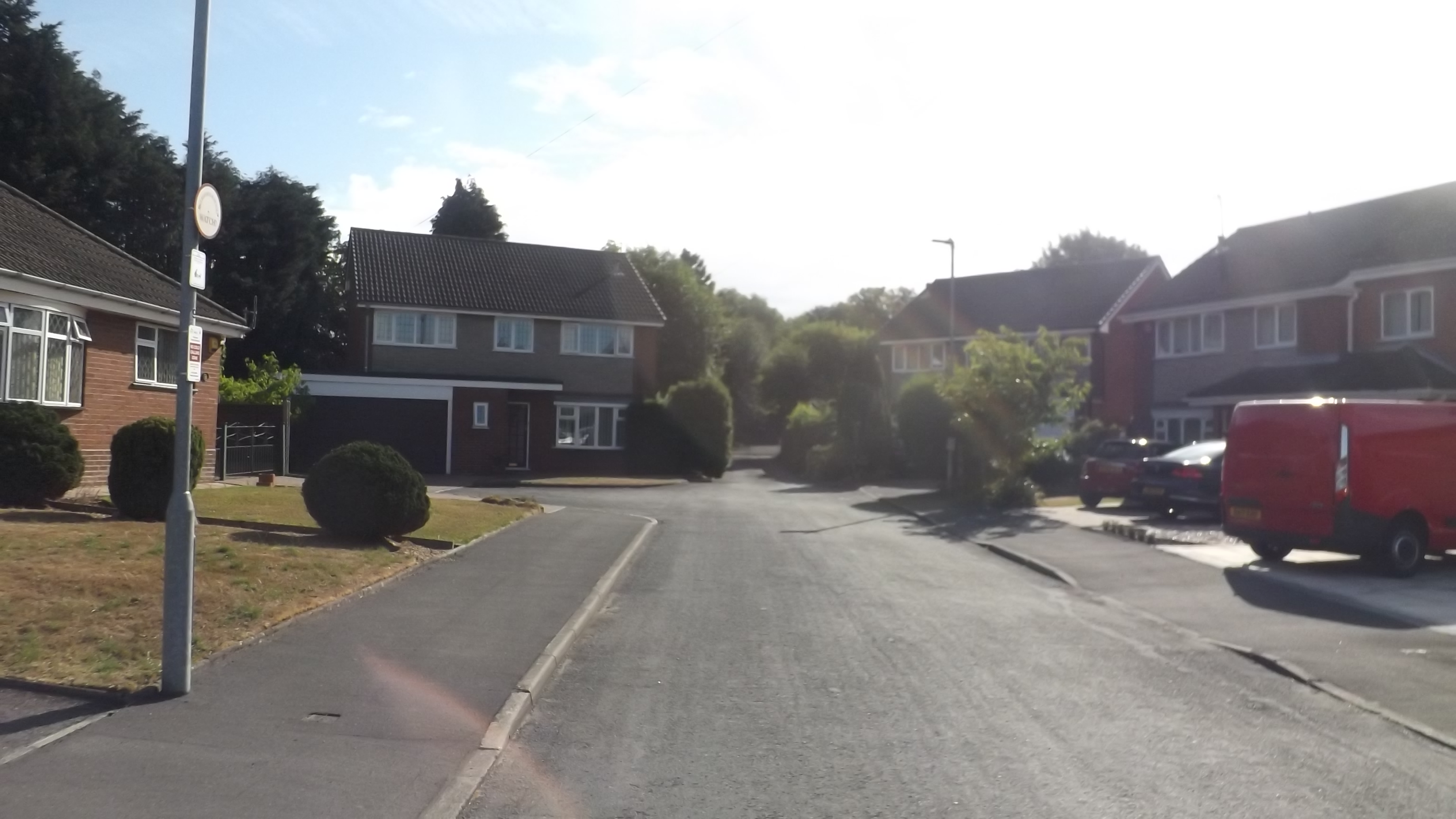
Hanchurch Images

Images are sourced within 2km of 52.970171/-2.227047 or Grid Reference SJ8441. Thanks to Geograph Open Source API. All images are credited.

Plenty more to harrow Looking across this field towards Kingswood Bank. The tractor is harrowing the field, working towards the camera.
Plenty more to harrow
Looking across this field towards Kingswood Bank. The tractor is harrowing the field, working towards the camera.
Bridge over the M6 This is the bridge just over a mile south of junction 15. It carries a track from the A519 towards Kings Wood.
Bridge over the M6
This is the bridge just over a mile south of junction 15. It carries a track from the A519 towards Kings Wood.
M6 looking south From the bridge <a href="https://www.geograph.org.uk/photo/250344">SJ8539 : Bridge over the M6</a>
M6 looking south
From the bridge SJ8539 : Bridge over the M6
Bridge over M6, with hot air balloon The bridge carries a lane from the A519 near The Toft towards Kings Wood
Bridge over M6, with hot air balloon
The bridge carries a lane from the A519 near The Toft towards Kings Wood
Stile to nowhere The bridge over the M6 has a gate which could swing across the entrance, the post is by the opposite rail. This stile should meet up with it, but the hinges seem to have seized up when I tried to move it.
See <a href="https://www.geograph.org.uk/photo/250670">SJ8539 : Bridge over M6, with hot air balloon</a>
Stile to nowhere
The bridge over the M6 has a gate which could swing across the entrance, the post is by the opposite rail. This stile should meet up with it, but the hinges seem to have seized up when I tried to move it. See SJ8539 : Bridge over M6, with hot air balloon
View across the fields to The Toft Late September afternoon. Taken from the A519 by the bridge over the M6.
View across the fields to The Toft
Late September afternoon. Taken from the A519 by the bridge over the M6.
Entrance to The Toft By the A519.
Entrance to The Toft
By the A519.
The A519 From Eccleshall to Newcastle-under-Lyme
The A519
From Eccleshall to Newcastle-under-Lyme
Harley Thorn Lane Looking South East along Harley Thorn Lane in Hanchurch Hills
Harley Thorn Lane
Looking South East along Harley Thorn Lane in Hanchurch Hills
Water Tower The water tower at Hanchurch Hills
Water Tower
The water tower at Hanchurch Hills
The Toft Looking towards The Toft and Trentham park from Drayton Lane
The Toft
Looking towards The Toft and Trentham park from Drayton Lane
Farmland, Hanchurch A double gateway off Drayton Lane. The Toft and the wooded hills of Trentham Park are in the distance.
Farmland, Hanchurch
A double gateway off Drayton Lane. The Toft and the wooded hills of Trentham Park are in the distance.
Commemorative stone, Hanchurch Woods. This large rock records the gift of these woods to the County.
Commemorative stone, Hanchurch Woods.
This large rock records the gift of these woods to the County.
Water tower, Hanchurch Woods Built in yellow and red brick this is similar to a number of other Water Board buildings in the area. Sadly the vandals have been unable to resist the temptation of the bullseye windows.
Water tower, Hanchurch Woods
Built in yellow and red brick this is similar to a number of other Water Board buildings in the area. Sadly the vandals have been unable to resist the temptation of the bullseye windows.
M6 Motorway - Overbridge Near Kingswood Bank The sign beyond the bridge indicates 1 mile to junction 15.
M6 Motorway - Overbridge Near Kingswood Bank
The sign beyond the bridge indicates 1 mile to junction 15.
M6 motorway - long straight near Knowl Wall From the distinct hump created by a bridge over a minor road, the 1960s alignment is dead straight for over a mile.
M6 motorway - long straight near Knowl Wall
From the distinct hump created by a bridge over a minor road, the 1960s alignment is dead straight for over a mile.
M6 motorway - overbridge at Knowl Wall
M6 motorway north of Knowl Wall A long climb northbound before the sharp, curving descent to junction 15 (Stoke South).
M6 motorway north of Knowl Wall
A long climb northbound before the sharp, curving descent to junction 15 (Stoke South).
Show me another place!

Hanchurch is located at Grid Ref: SJ8441 (Lat: 52.970171, Lng: -2.227047)

Administrative County: Staffordshire

District: Stafford

Police Authority: Staffordshire

What 3 Words

///seat.groom.spell. Near Newcastle under Lyme, Staffordshire

Related Wikis

Clayton, Staffordshire

Clayton is a suburb and a ward in the Newcastle-under-Lyme district, in the county of Staffordshire, England. == Today == Clayton lies on the boundary...

Lyme Brook

Lyme Brook is a tributary stream of the River Trent, which flows through Newcastle-under-Lyme, and the outlying areas of Stoke-on-Trent in Staffordshire...

Trentham Mausoleum

The Trentham Mausoleum is a Grade I listed mausoleum in Trentham, Stoke-on-Trent, built as the final resting place of the Dukes of Sutherland from the...

Trentham Gardens railway station

Trentham Gardens railway station (originally named Trentham Park) was the last station built by the North Staffordshire Railway (NSR) and was the terminus...

Clayton Hall Academy

Clayton Hall Academy is a mixed secondary school located in the Clayton area of Newcastle-under-Lyme in the English county of Staffordshire. == History... ==

Trentham Academy

Trentham Academy (formerly Trentham High School) is a coeducational secondary school located in the village of Trentham in Stoke-on-Trent, Staffordshire...

Acton, Staffordshire

Acton is a hamlet in the Borough of Newcastle-under-Lyme, Staffordshire. It lies four miles south west of Newcastle close to the junction of the A53 and...

Trent Vale

Trent Vale is a suburb located on the outskirts of Stoke-on-Trent in Staffordshire, England. It is bordered on the south by Hanford, to the west by Clayton...

Nearby Amenities

Located within 500m of 52.970171,-2.227047
Motorway Junction
Hanchurch Interchange
Exit To: Stoke South
Ref: 15
Lat/Long: 52.9718531/-2.2258461
Traffic Signals
Traffic Signals: signal
Traffic Signals Direction: forward
Lat/Long: 52.9734248/-2.2248945
Bus Stop
Newcastle Road
Bus: yes
Naptan AtcoCode: 3800C702200
Naptan Bearing: E
Naptan BusStopType: CUS
Naptan CommonName: Newcastle Road
Naptan Indicator: Adj
Naptan Landmark: Newcastle Road
Naptan PlusbusZoneRef: STOKEOT
Naptan Street: Whitmore Road
Naptan Verified: no
Public Transport: platform
Source: naptan_import
Lat/Long: 52.9735209/-2.2233756
Bus Stop
Newcastle Road
Bus: yes
Naptan AtcoCode: 3800C702201
Naptan Bearing: W
Naptan BusStopType: CUS
Naptan CommonName: Newcastle Road
Naptan Indicator: Adj
Naptan Landmark: Newcastle Road
Naptan PlusbusZoneRef: STOKEOT
Naptan Street: Whitmore Road
Naptan Verified: no
Public Transport: platform
Source: naptan_import
Lat/Long: 52.9734347/-2.2234715
Bus Stop
Hanchurch Crossroads
Bus: yes
Naptan AtcoCode: 3800C704500
Naptan Bearing: S
Naptan CommonName: Hanchurch Crossroads
Naptan Indicator: Adj
Naptan Landmark: Crossroads
Naptan PlusbusZoneRef: STOKEOT
Naptan Street: Newcastle Rd
Naptan Verified: no
Public Transport: platform
Source: naptan_import
Lat/Long: 52.9737714/-2.2239875
Hanchurch
Place: hamlet
Lat/Long: 52.9680268/-2.2287654
Hanchurch Crossroads
Junction: yes
Lat/Long: 52.973468/-2.2241843
Barrier: stile
Lat/Long: 52.9661421/-2.2257592
Barrier: kissing_gate
Lat/Long: 52.966351/-2.2254039
Traffic Signals
Traffic Signals: signal
Traffic Signals Direction: forward
Lat/Long: 52.9736668/-2.2240753
Parking
Parking: layby
Lat/Long: 52.9743523/-2.2285203
Traffic Signals
Traffic Signals: signal
Traffic Signals Direction: forward
Lat/Long: 52.9732151/-2.2244201
Give Way
Lat/Long: 52.9735318/-2.2240046
Traffic Signals
Traffic Signals: signal
Traffic Signals Direction: backward
Lat/Long: 52.9735908/-2.2246779
Traffic Signals
Traffic Signals: signal
Traffic Signals Direction: forward
Lat/Long: 52.9734699/-2.2240282
Traffic Signals
Traffic Signals: signal
Traffic Signals Direction: forward
Lat/Long: 52.9732276/-2.2244835
Traffic Signals
Traffic Signals: signal
Traffic Signals Direction: forward
Lat/Long: 52.9736731/-2.2241182
Addr Housename: Oak Tree Cottage
Addr Postcode: ST4 8SD
Addr Street: Ridding Bank
Lat/Long: 52.9675194/-2.2258147
Place Of Worship
Source: OS-OpenData_StreetView
Lat/Long: 52.9705302/-2.2277606
Addr Housename: Woodland View
Lat/Long: 52.9706336/-2.2301317
Power: pole
Lat/Long: 52.9723737/-2.2326817
Material: wood
Power: pole
Lat/Long: 52.9679127/-2.2219635
Material: wood
Power: pole
Lat/Long: 52.9679192/-2.2210838
Power: pole
Lat/Long: 52.969394/-2.2197118
Power: pole
Lat/Long: 52.9701775/-2.2196166
Traffic Signals
Traffic Signals: signal
Traffic Signals Direction: forward
Lat/Long: 52.9735631/-2.2247847
Booth: K6
Covered: booth
Disused Amenity: telephone
Man Made: telephone_box
Old Phone: +44 1782 642419
Lat/Long: 52.9678765/-2.225139
The data included in this document is from www.openstreetmap.org. The data is made available under ODbL.

Have you been to Hanchurch?

Leave your review of Hanchurch below (or comments, questions and feedback).