Cliff's Rough

Wood, Forest in Staffordshire Stafford

England

Cliff's Rough

In the woods at Hanchurch Hills
In the woods at Hanchurch Hills Credit: Linda Mellor

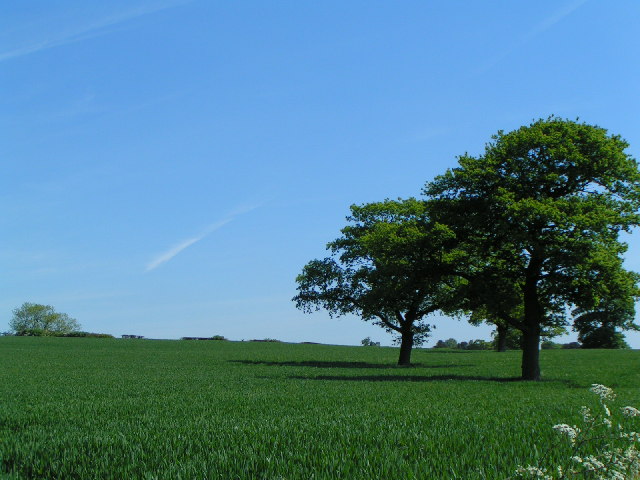
Cliff's Rough, located in Staffordshire, England, is a picturesque woodland area that offers a serene and peaceful escape from the hustle and bustle of city life. Covering a vast expanse, this forest is a haven for nature lovers and outdoor enthusiasts.

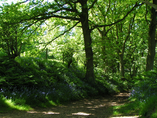
The woodland is mainly composed of native species such as oak, beech, and birch trees, creating a dense canopy that filters sunlight and creates a cool and shaded atmosphere. The forest floor is covered with a thick layer of fallen leaves and moss, providing a soft and natural carpet for visitors to tread upon.

The diverse and abundant wildlife found in Cliff's Rough further enhances its appeal. It is home to a variety of bird species, including woodpeckers, owls, and songbirds, making it a popular spot for birdwatching. Deer, foxes, and rabbits are often spotted roaming freely through the forest, adding to the sense of tranquility and natural beauty.

The forest is crisscrossed by a network of well-maintained walking trails, allowing visitors to explore its enchanting surroundings. These paths wind through ancient trees, alongside babbling brooks, and up gentle slopes, providing breathtaking views of the surrounding countryside.

Cliff's Rough is a popular destination for outdoor activities such as hiking, cycling, and picnicking. The forest also offers camping facilities for those who wish to spend more time immersed in nature. With its idyllic setting and abundant wildlife, Cliff's Rough is a true gem of Staffordshire, offering a rejuvenating and enriching experience for all who visit.

If you have any feedback on the listing, please let us know in the comments section below.

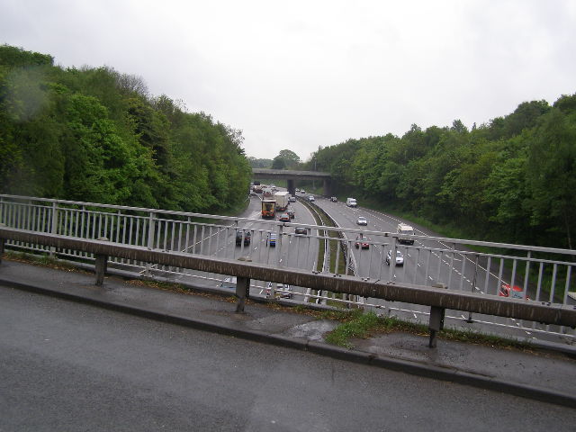
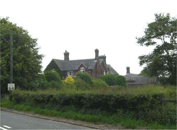
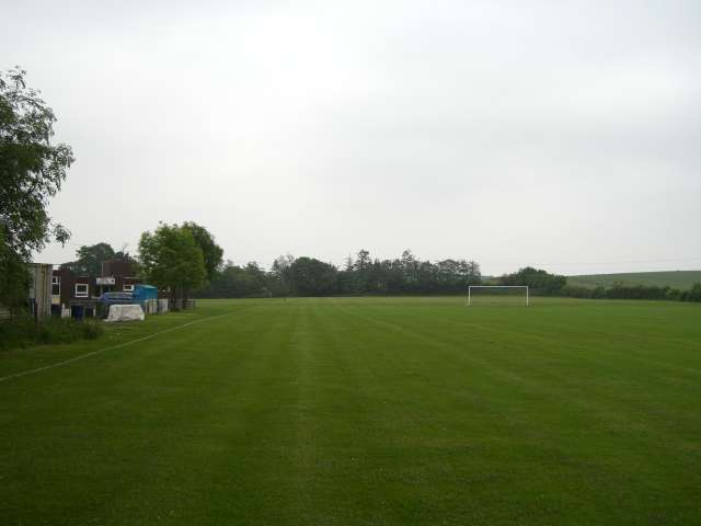
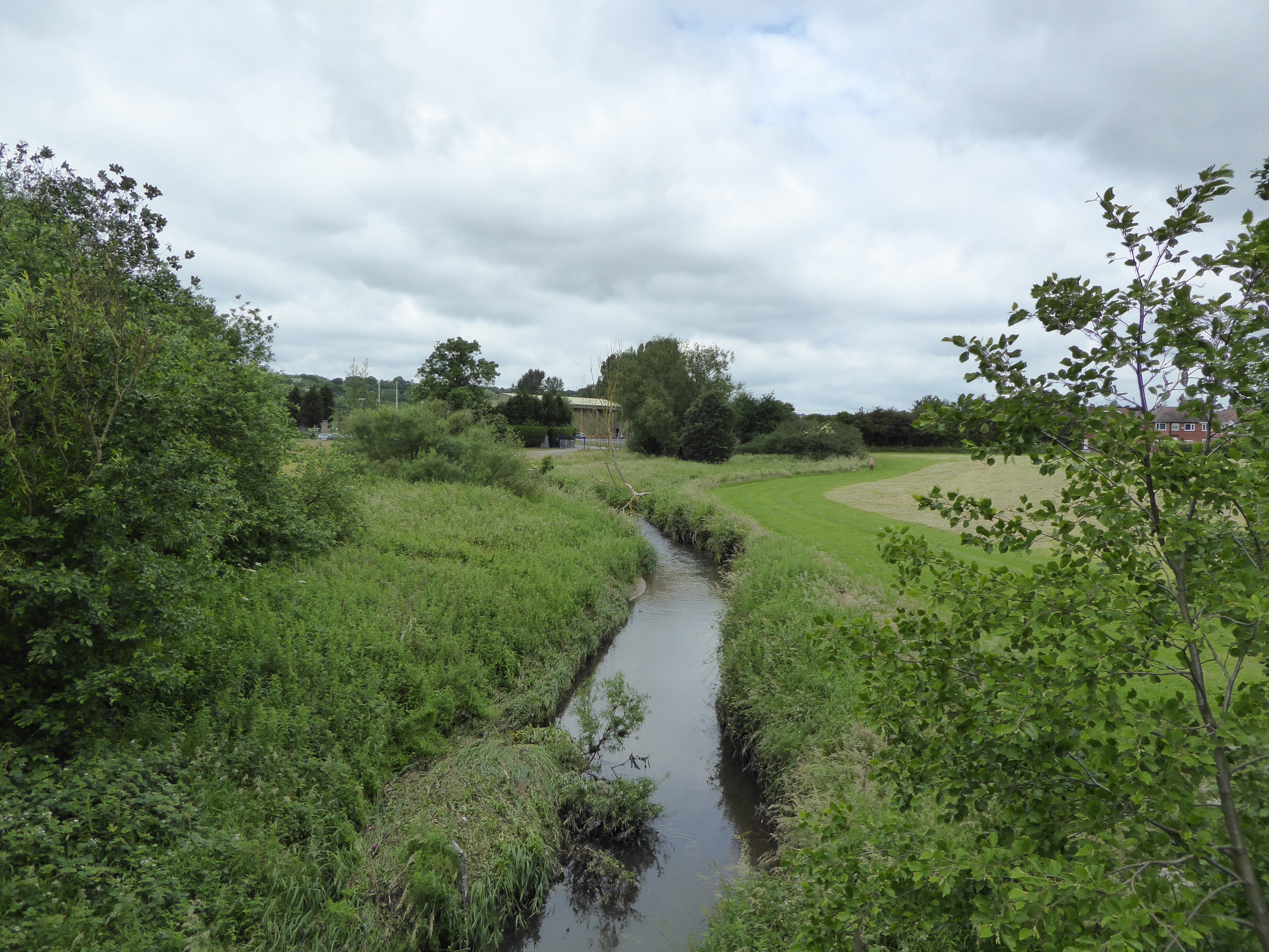
Cliff's Rough Images

Images are sourced within 2km of 52.974662/-2.2292906 or Grid Reference SJ8441. Thanks to Geograph Open Source API. All images are credited.

In the woods at Hanchurch Hills
View up the hill Taken from the lane running south-west from the village of Hanchurch
View up the hill
Taken from the lane running south-west from the village of Hanchurch
Woodland path - Hanchurch Hills
M6 Northbound Congestion. Just after junction 15 north on Friday 2 Dec 2005 note the lack of traffic on the southbound carriageway.
M6 Northbound Congestion.
Just after junction 15 north on Friday 2 Dec 2005 note the lack of traffic on the southbound carriageway.
Butterton Grange Stud Farm This new exercise area is alongside the M6 near jn 15
Butterton Grange Stud Farm
This new exercise area is alongside the M6 near jn 15
Entrance to Hanchurch Pools These consist of 14 lakes including 4 trout waters. Signs everywhere refer to the 'HAS' which seems to be 'Hanchurch Fishing Club'!?
Entrance to Hanchurch Pools
These consist of 14 lakes including 4 trout waters. Signs everywhere refer to the 'HAS' which seems to be 'Hanchurch Fishing Club'!?
Hanchurch Manor Grade 2 listed Hotel in the Tudor Style.
Hanchurch Manor
Grade 2 listed Hotel in the Tudor Style.
Hanchurch Manor another view of this fine hotel
Hanchurch Manor
another view of this fine hotel
Hanchurch Manor the fountain in the courtyard of this lovely hotel.
Hanchurch Manor
the fountain in the courtyard of this lovely hotel.
Church of St James the Great in Clayton near Newcastle under Lyme Photo taken from other side of A519 which passes in front of church.
Note the unusual A frame construction and superb copper covered roof.
Church of St James the Great in Clayton near Newcastle under Lyme
Photo taken from other side of A519 which passes in front of church. Note the unusual A frame construction and superb copper covered roof.
Kennet  Close Newcastle-under-Lyme Looking down the road towards Rowley Wood.
Kennet Close Newcastle-under-Lyme
Looking down the road towards Rowley Wood.
Kennet Close looking in the other direction from picture <a href="https://www.geograph.org.uk/photo/327505">SJ8443 : Kennet  Close Newcastle-under-Lyme</a>
Kennet Close
looking in the other direction from picture SJ8443 : Kennet Close Newcastle-under-Lyme
A500 looking towards M6 J15
Farm Buildings near A500
Footbridge over the M6
M6 Motorway, looking south. Comparatively light traffic flow on the M6 from the A5182 road bridge.
M6 Motorway, looking south.
Comparatively light traffic flow on the M6 from the A5182 road bridge.
New Hayes Farm
New Hayes Farm
North Stafford Sports Club
Show me another place!

Cliff's Rough is located at Grid Ref: SJ8441 (Lat: 52.974662, Lng: -2.2292906)

Administrative County: Staffordshire

District: Stafford

Police Authority: Staffordshire

What 3 Words

///veal.judges.tips. Near Newcastle under Lyme, Staffordshire

Related Wikis

Clayton, Staffordshire

Clayton is a suburb and a ward in the Newcastle-under-Lyme district, in the county of Staffordshire, England. == Today == Clayton lies on the boundary...

Clayton Hall Academy

Clayton Hall Academy is a mixed secondary school located in the Clayton area of Newcastle-under-Lyme in the English county of Staffordshire. == History... ==

Lyme Brook

Lyme Brook is a tributary stream of the River Trent, which flows through Newcastle-under-Lyme, and the outlying areas of Stoke-on-Trent in Staffordshire...

Seabridge

Seabridge is a suburb of Newcastle-under-Lyme in Staffordshire, England. The origin of the name "Seabridge" is unknown as it is situated in the midlands...

Oak Hill, Staffordshire

Oak Hill is an area in Stoke-on-Trent. == References ==

Trent Vale

Trent Vale is a suburb located on the outskirts of Stoke-on-Trent in Staffordshire, England. It is bordered on the south by Hanford, to the west by Clayton...

Acton, Staffordshire

Acton is a hamlet in the Borough of Newcastle-under-Lyme, Staffordshire. It lies four miles south west of Newcastle close to the junction of the A53 and...

Trentham Mausoleum

The Trentham Mausoleum is a Grade I listed mausoleum in Trentham, Stoke-on-Trent, built as the final resting place of the Dukes of Sutherland from the...

Nearby Amenities

Located within 500m of 52.974662,-2.2292906
Motorway Junction
Hanchurch Interchange
Exit To: Stoke South
Ref: 15
Lat/Long: 52.9718531/-2.2258461
Traffic Signals
Traffic Signals: signal
Traffic Signals Direction: forward
Lat/Long: 52.9734248/-2.2248945
NORTHWOOD1
Disused: yes
Man Made: petroleum_well
Ref GB Decc: LM/04-2
Source: DECC
Lat/Long: 52.9740833/-2.2337778
Bus Stop
Newcastle Road
Bus: yes
Naptan AtcoCode: 3800C702200
Naptan Bearing: E
Naptan BusStopType: CUS
Naptan CommonName: Newcastle Road
Naptan Indicator: Adj
Naptan Landmark: Newcastle Road
Naptan PlusbusZoneRef: STOKEOT
Naptan Street: Whitmore Road
Naptan Verified: no
Public Transport: platform
Source: naptan_import
Lat/Long: 52.9735209/-2.2233756
Bus Stop
Newcastle Road
Bus: yes
Naptan AtcoCode: 3800C702201
Naptan Bearing: W
Naptan BusStopType: CUS
Naptan CommonName: Newcastle Road
Naptan Indicator: Adj
Naptan Landmark: Newcastle Road
Naptan PlusbusZoneRef: STOKEOT
Naptan Street: Whitmore Road
Naptan Verified: no
Public Transport: platform
Source: naptan_import
Lat/Long: 52.9734347/-2.2234715
Bus Stop
Hanchurch Crossroads
Bus: yes
Naptan AtcoCode: 3800C704500
Naptan Bearing: S
Naptan CommonName: Hanchurch Crossroads
Naptan Indicator: Adj
Naptan Landmark: Crossroads
Naptan PlusbusZoneRef: STOKEOT
Naptan Street: Newcastle Rd
Naptan Verified: no
Public Transport: platform
Source: naptan_import
Lat/Long: 52.9737714/-2.2239875
Bus Stop
M6 Roundabout
Bus: yes
Naptan AtcoCode: 3800C704501
Naptan Bearing: N
Naptan CommonName: M6 Roundabout
Naptan Indicator: Adj
Naptan Landmark: M6 Roundabout
Naptan PlusbusZoneRef: STOKEOT
Naptan Street: Newcastle Road
Naptan Verified: no
Public Transport: platform
Source: naptan_import
Lat/Long: 52.9746884/-2.2239476
Hanchurch Crossroads
Junction: yes
Lat/Long: 52.973468/-2.2241843
Power: tower
Source: Bing
Lat/Long: 52.9749307/-2.232929
Power: tower
Source: Bing
Lat/Long: 52.9767068/-2.2341057
Traffic Signals
Source: survey
Traffic Signals: signal
Lat/Long: 52.9759177/-2.2259684
Traffic Signals
Traffic Signals: signal
Traffic Signals Direction: forward
Lat/Long: 52.9736668/-2.2240753
Man Made: surveillance
Source: survey
Surveillance: public
Lat/Long: 52.9775797/-2.2275342
Parking
Parking: layby
Lat/Long: 52.9743523/-2.2285203
Traffic Signals
Traffic Signals: signal
Traffic Signals Direction: forward
Lat/Long: 52.9732151/-2.2244201
Give Way
Lat/Long: 52.9735318/-2.2240046
Traffic Signals
Traffic Signals: signal
Traffic Signals Direction: backward
Lat/Long: 52.9735908/-2.2246779
Traffic Signals
Traffic Signals: signal
Traffic Signals Direction: forward
Lat/Long: 52.9734699/-2.2240282
Traffic Signals
Traffic Signals: signal
Traffic Signals Direction: forward
Lat/Long: 52.9732276/-2.2244835
Traffic Signals
Traffic Signals: signal
Traffic Signals Direction: forward
Lat/Long: 52.9736731/-2.2241182
Place Of Worship
Source: OS-OpenData_StreetView
Lat/Long: 52.9705302/-2.2277606
Addr Housename: Woodland View
Lat/Long: 52.9706336/-2.2301317
Power: pole
Lat/Long: 52.9739082/-2.2323758
Power: pole
Lat/Long: 52.9743169/-2.2344869
Power: pole
Lat/Long: 52.9755151/-2.2352057
Power: pole
Lat/Long: 52.9735949/-2.2340228
Power: pole
Lat/Long: 52.9737353/-2.2332878
Power: pole
Lat/Long: 52.9723737/-2.2326817
Power: pole
Source: Bing
Lat/Long: 52.9768289/-2.2335602
Power: pole
Source: Bing
Lat/Long: 52.9780233/-2.2332127
Power: pole
Source: Bing
Lat/Long: 52.9755361/-2.2341917
Power: pole
Lat/Long: 52.9758624/-2.2355113
Power: pole
Lat/Long: 52.976082/-2.2339182
Power: pole
Source: Bing
Lat/Long: 52.9751203/-2.2349777
Traffic Signals
Traffic Signals: signal
Lat/Long: 52.9758241/-2.2259963
Traffic Signals
Traffic Signals: signal
Traffic Signals Direction: forward
Lat/Long: 52.9735631/-2.2247847
The data included in this document is from www.openstreetmap.org. The data is made available under ODbL.

Have you been to Cliff's Rough?

Leave your review of Cliff's Rough below (or comments, questions and feedback).