Hanchurch Plantation

Wood, Forest in Staffordshire Stafford

England

Hanchurch Plantation

Bridge over the M6 This is the bridge just over a mile south of junction 15. It carries a track from the A519 towards Kings Wood.
Bridge over the M6 Credit: Rich Tea

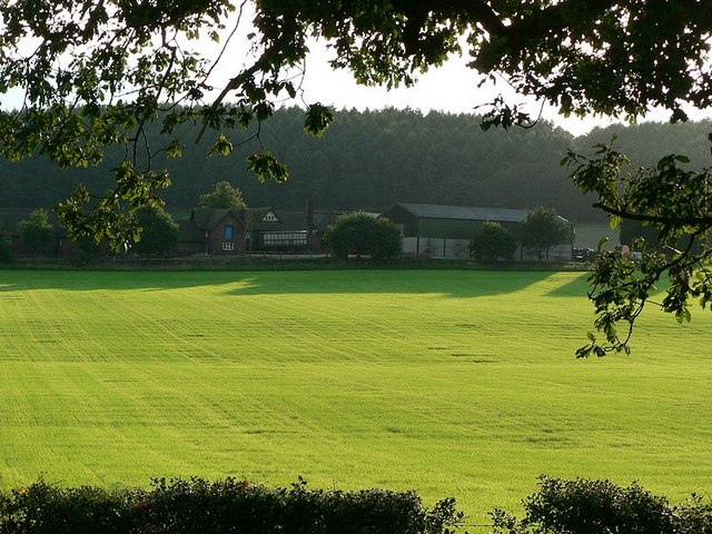
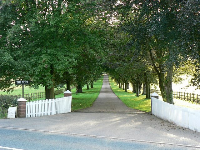
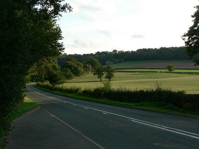
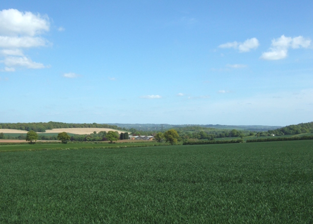
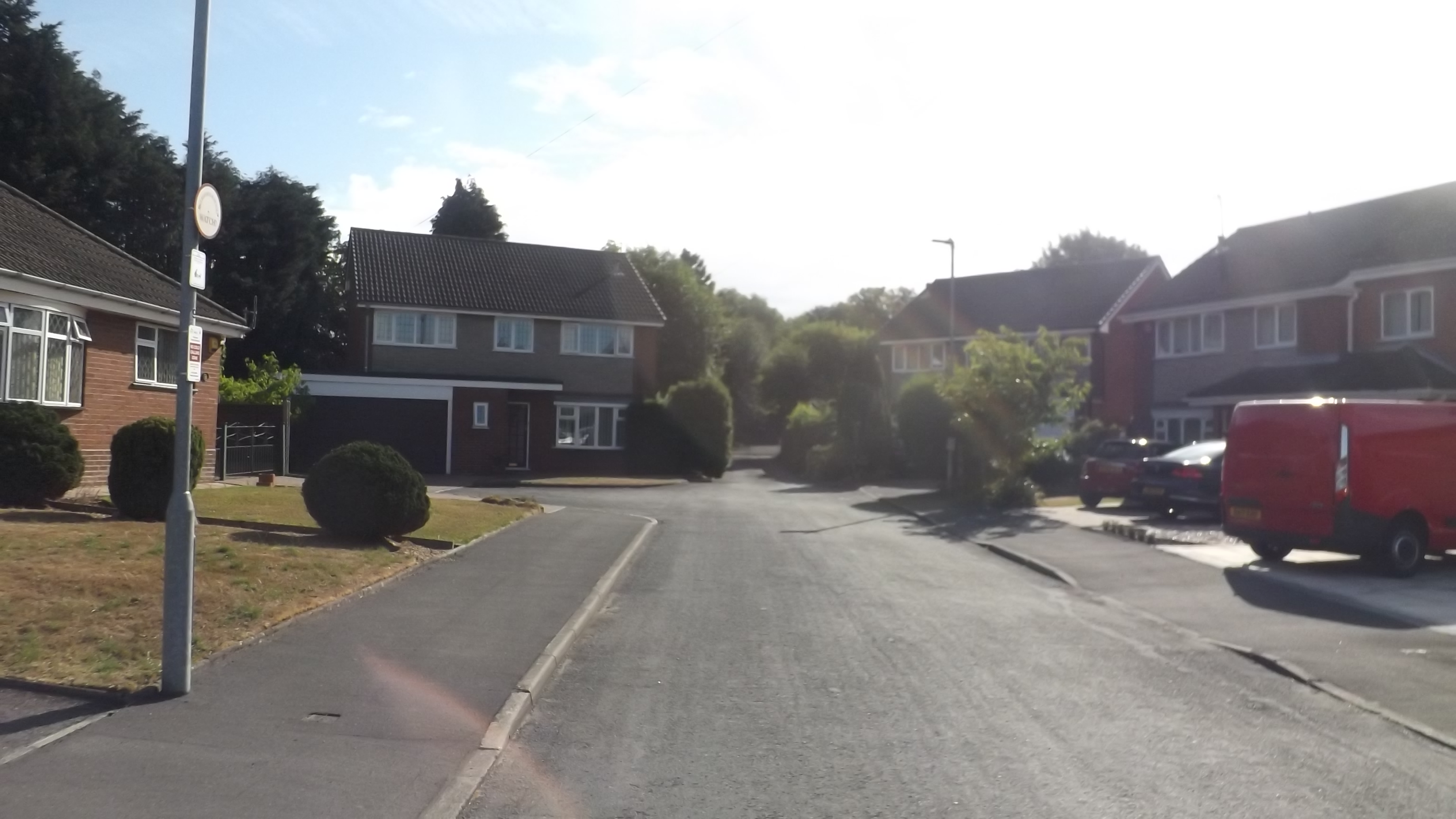
Hanchurch Plantation is an expansive woodland area located in Staffordshire, England. Covering an area of approximately 200 acres, it is a designated Site of Biological Importance due to its diverse flora and fauna. The woodland is situated on the outskirts of the village of Hanchurch and is easily accessible from the nearby city of Stoke-on-Trent.

The plantation is predominantly composed of deciduous trees, including oak, beech, ash, and birch, which create a rich and varied habitat for numerous species of wildlife. It is home to a wide range of bird species, such as woodpeckers, robins, and thrushes, making it a popular destination for birdwatchers. The woodland also supports a thriving population of small mammals, including squirrels, rabbits, and hedgehogs.

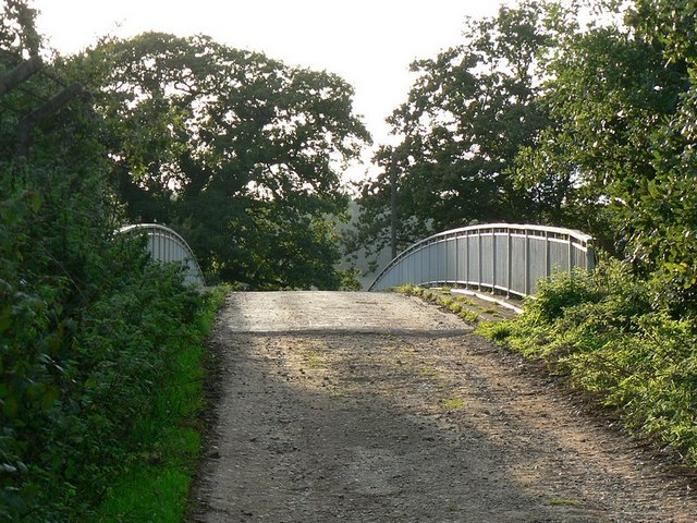
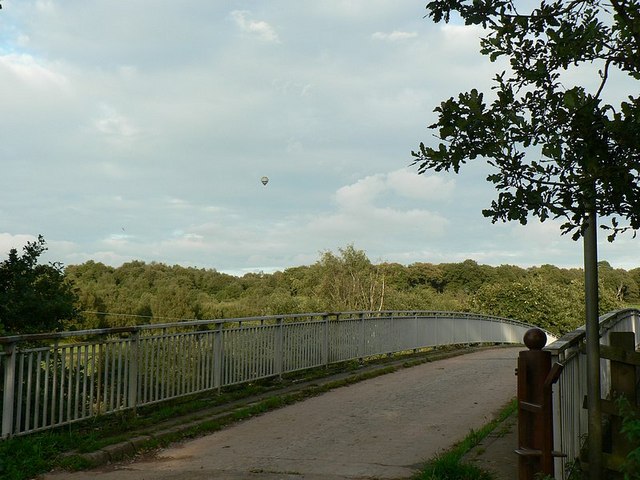
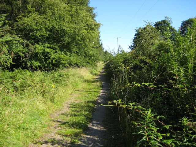
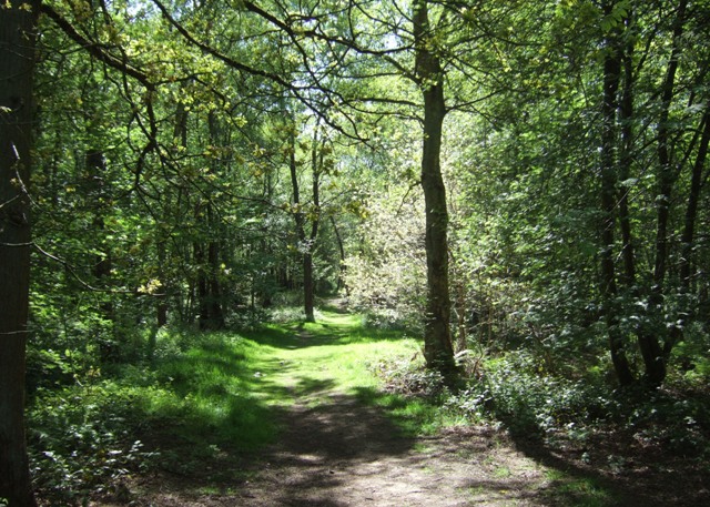
Visitors to Hanchurch Plantation can enjoy a network of well-maintained footpaths and trails that traverse the woodland, allowing for leisurely walks or more adventurous hikes. The plantation offers a peaceful and tranquil environment, making it a favorite spot for nature enthusiasts, dog walkers, and families seeking outdoor recreation.

In addition to its natural beauty, Hanchurch Plantation boasts a rich historical past. The woodland is home to remnants of an ancient Roman road, providing a glimpse into the area's historical significance. There are also traces of charcoal burning platforms, evidence of the woodland's use in local industries during the Industrial Revolution.

Overall, Hanchurch Plantation is a picturesque woodland area that offers an escape from the hustle and bustle of city life. With its diverse wildlife, well-maintained trails, and historical significance, it provides a delightful destination for nature lovers and history enthusiasts alike.

If you have any feedback on the listing, please let us know in the comments section below.

Hanchurch Plantation Images

Images are sourced within 2km of 52.970162/-2.2364885 or Grid Reference SJ8441. Thanks to Geograph Open Source API. All images are credited.
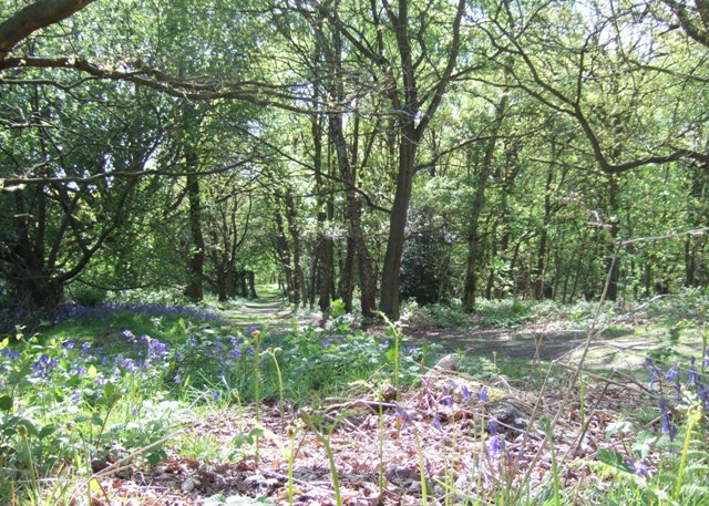
Bridge over the M6 This is the bridge just over a mile south of junction 15. It carries a track from the A519 towards Kings Wood.
Bridge over the M6
This is the bridge just over a mile south of junction 15. It carries a track from the A519 towards Kings Wood.
M6 looking south From the bridge <a href="https://www.geograph.org.uk/photo/250344">SJ8539 : Bridge over the M6</a>
M6 looking south
From the bridge SJ8539 : Bridge over the M6
Bridge over M6, with hot air balloon The bridge carries a lane from the A519 near The Toft towards Kings Wood
Bridge over M6, with hot air balloon
The bridge carries a lane from the A519 near The Toft towards Kings Wood
Stile to nowhere The bridge over the M6 has a gate which could swing across the entrance, the post is by the opposite rail. This stile should meet up with it, but the hinges seem to have seized up when I tried to move it.
See <a href="https://www.geograph.org.uk/photo/250670">SJ8539 : Bridge over M6, with hot air balloon</a>
Stile to nowhere
The bridge over the M6 has a gate which could swing across the entrance, the post is by the opposite rail. This stile should meet up with it, but the hinges seem to have seized up when I tried to move it. See SJ8539 : Bridge over M6, with hot air balloon
View across the fields to The Toft Late September afternoon. Taken from the A519 by the bridge over the M6.
View across the fields to The Toft
Late September afternoon. Taken from the A519 by the bridge over the M6.
Entrance to The Toft By the A519.
Entrance to The Toft
By the A519.
The A519 From Eccleshall to Newcastle-under-Lyme
The A519
From Eccleshall to Newcastle-under-Lyme
Harley Thorn Lane Looking South East along Harley Thorn Lane in Hanchurch Hills
Harley Thorn Lane
Looking South East along Harley Thorn Lane in Hanchurch Hills
Water Tower The water tower at Hanchurch Hills
Water Tower
The water tower at Hanchurch Hills
The Toft Looking towards The Toft and Trentham park from Drayton Lane
The Toft
Looking towards The Toft and Trentham park from Drayton Lane
Farmland, Hanchurch A double gateway off Drayton Lane. The Toft and the wooded hills of Trentham Park are in the distance.
Farmland, Hanchurch
A double gateway off Drayton Lane. The Toft and the wooded hills of Trentham Park are in the distance.
Commemorative stone, Hanchurch Woods. This large rock records the gift of these woods to the County.
Commemorative stone, Hanchurch Woods.
This large rock records the gift of these woods to the County.
Glade in Hanchurch Woods The woods are a public open space managed by Staffordshire County Council.
Glade in Hanchurch Woods
The woods are a public open space managed by Staffordshire County Council.
Track through Hanchurch Woods The woods are managed as a public open space by Staffordshire County Council.
Track through Hanchurch Woods
The woods are managed as a public open space by Staffordshire County Council.
Water tower, Hanchurch Woods Built in yellow and red brick this is similar to a number of other Water Board buildings in the area. Sadly the vandals have been unable to resist the temptation of the bullseye windows.
Water tower, Hanchurch Woods
Built in yellow and red brick this is similar to a number of other Water Board buildings in the area. Sadly the vandals have been unable to resist the temptation of the bullseye windows.
At the woodland edge A track just inside Hanchurch Woods. The woods are managed by Staffordshire County Council as a public open space.
At the woodland edge
A track just inside Hanchurch Woods. The woods are managed by Staffordshire County Council as a public open space.
Bluebells, Hanchurch Hills Bluebells [Hyacinthoides non-scripta]grow in large drifts at the woodland edge.
Bluebells, Hanchurch Hills
Bluebells [Hyacinthoides non-scripta]grow in large drifts at the woodland edge.
Welcome sign, Hanchurch Hills The woods are managed as a public open space by the County Council. They were gifted to the council by the then Lord Stafford in 1960.
Welcome sign, Hanchurch Hills
The woods are managed as a public open space by the County Council. They were gifted to the council by the then Lord Stafford in 1960.
Show me another place!

Hanchurch Plantation is located at Grid Ref: SJ8441 (Lat: 52.970162, Lng: -2.2364885)

Administrative County: Staffordshire

District: Stafford

Police Authority: Staffordshire

What 3 Words

///valley.charm.young. Near Newcastle under Lyme, Staffordshire

Related Wikis

Acton, Staffordshire

Acton is a hamlet in the Borough of Newcastle-under-Lyme, Staffordshire. It lies four miles south west of Newcastle close to the junction of the A53 and...

Clayton, Staffordshire

Clayton is a suburb and a ward in the Newcastle-under-Lyme district, in the county of Staffordshire, England. == Today == Clayton lies on the boundary...

Seabridge

Seabridge is a suburb of Newcastle-under-Lyme in Staffordshire, England. The origin of the name "Seabridge" is unknown as it is situated in the midlands...

Clayton Hall Academy

Clayton Hall Academy is a mixed secondary school located in the Clayton area of Newcastle-under-Lyme in the English county of Staffordshire. == History... ==
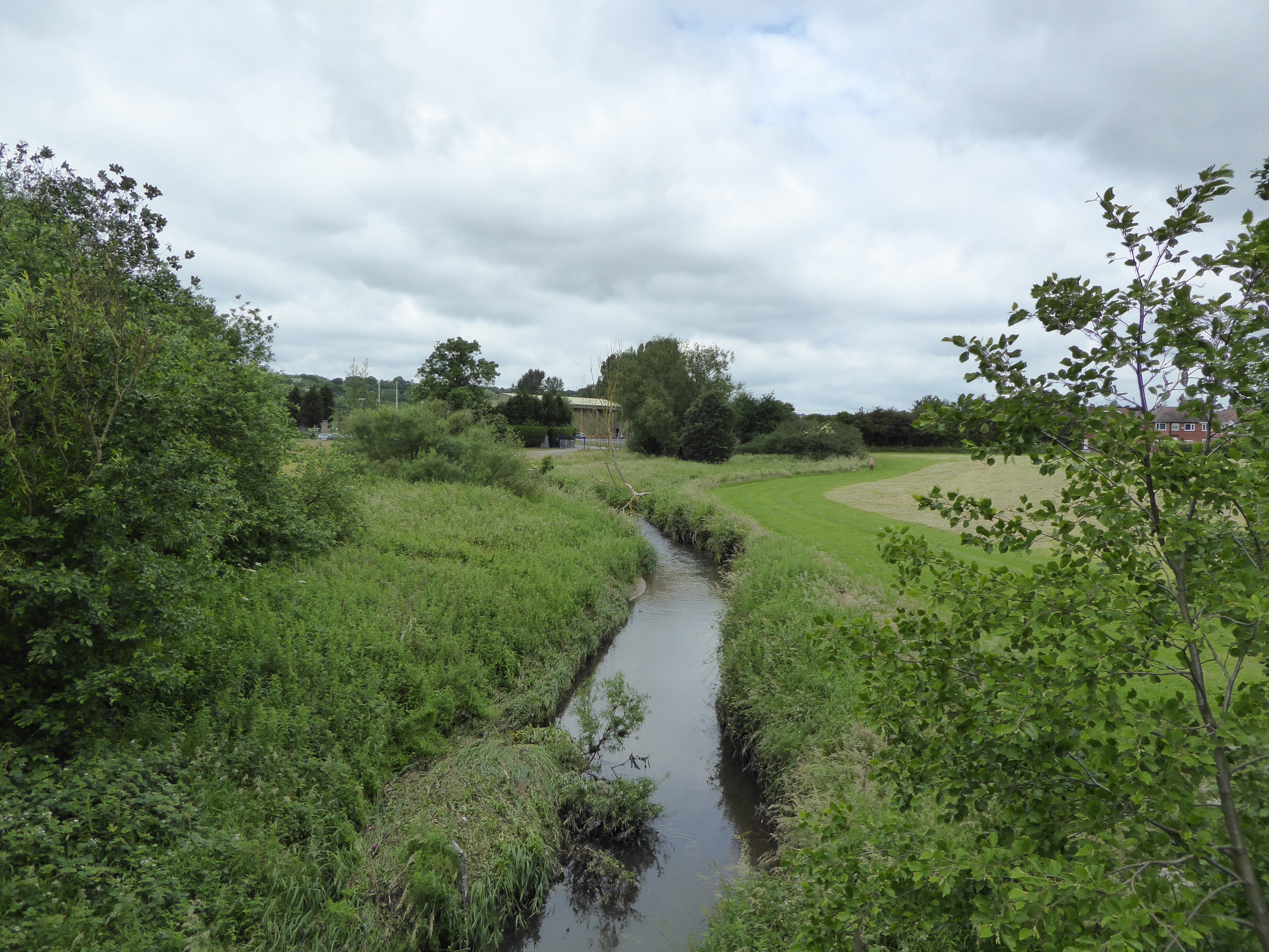
Lyme Brook

Lyme Brook is a tributary stream of the River Trent, which flows through Newcastle-under-Lyme, and the outlying areas of Stoke-on-Trent in Staffordshire...

Trentham Mausoleum

The Trentham Mausoleum is a Grade I listed mausoleum in Trentham, Stoke-on-Trent, built as the final resting place of the Dukes of Sutherland from the...

Trentham Gardens railway station

Trentham Gardens railway station (originally named Trentham Park) was the last station built by the North Staffordshire Railway (NSR) and was the terminus...

Trentham Academy

Trentham Academy (formerly Trentham High School) is a coeducational secondary school located in the village of Trentham in Stoke-on-Trent, Staffordshire...

Nearby Amenities

Located within 500m of 52.970162,-2.2364885
NORTHWOOD1
Disused: yes
Man Made: petroleum_well
Ref GB Decc: LM/04-2
Source: DECC
Lat/Long: 52.9740833/-2.2337778
Power: tower
Source: Bing
Lat/Long: 52.969984/-2.243837
Power: tower
Source: Bing
Lat/Long: 52.9719583/-2.2389204
Power: tower
Source: Bing
Lat/Long: 52.9674147/-2.2423925
Power: tower
Source: Bing
Lat/Long: 52.9731881/-2.2364348
Addr Housename: Woodland View
Lat/Long: 52.9706336/-2.2301317
Power: pole
Lat/Long: 52.9739082/-2.2323758
Power: pole
Lat/Long: 52.9743169/-2.2344869
Power: pole
Lat/Long: 52.9735949/-2.2340228
Power: pole
Lat/Long: 52.9737353/-2.2332878
Power: pole
Lat/Long: 52.9723737/-2.2326817
Historic: milestone
Lat/Long: 52.9738734/-2.2395386
The data included in this document is from www.openstreetmap.org. The data is made available under ODbL.

Have you been to Hanchurch Plantation?

Leave your review of Hanchurch Plantation below (or comments, questions and feedback).