Pestfurlong Moss
Downs, Moorland in Lancashire
England
Pestfurlong Moss
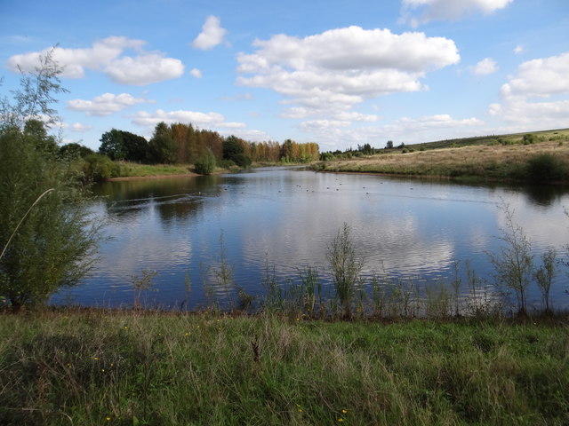
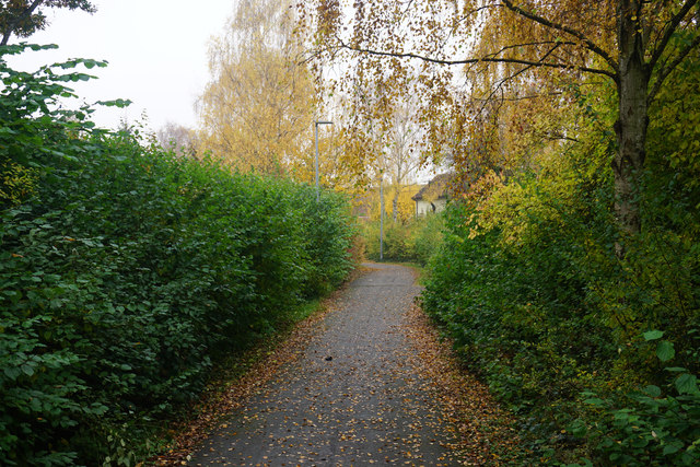
Pestfurlong Moss is a natural area located in Lancashire, England. It is situated in the region known as the Lancashire Downs, which is characterized by its rolling hills and open landscapes. The moss itself is a type of peat bog, formed over thousands of years from the accumulation of dead plant material and decaying vegetation.
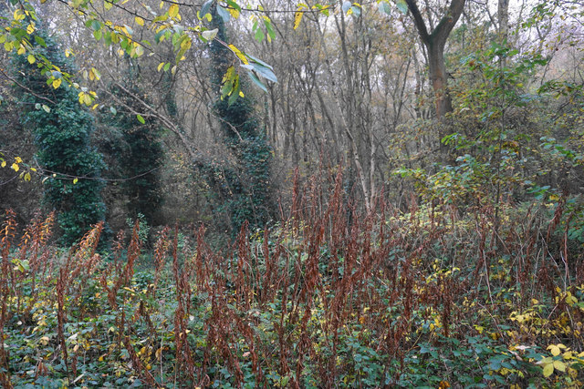
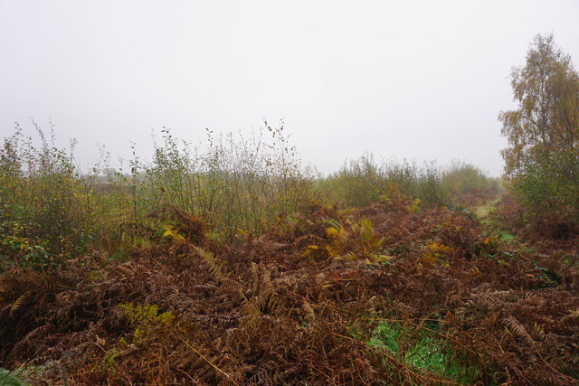
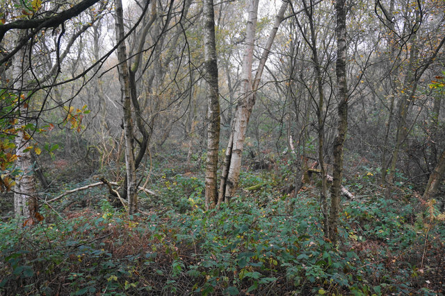
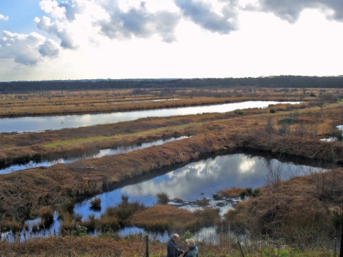
Covering an area of approximately 200 hectares, Pestfurlong Moss is a significant site for wildlife and biodiversity. The moss is home to a variety of plant species, including heather, sphagnum moss, and cotton grass. These plants thrive in the acidic conditions of the peat bog and provide important habitats for insects, birds, and small mammals.
The Lancashire Moorland, where Pestfurlong Moss is located, is known for its unique and diverse ecosystem. The area is home to several species of birds, including the rare and elusive hen harrier, which is a protected species in the United Kingdom. Additionally, the moss is an important breeding ground for a variety of dragonflies and damselflies, adding to the ecological significance of the site.
Pestfurlong Moss is also a popular destination for nature enthusiasts and walkers, who can enjoy the tranquil beauty of the moss and the surrounding countryside. Several walking trails have been established in the area, allowing visitors to explore the diverse habitats and observe the wildlife that call Pestfurlong Moss their home.
Overall, Pestfurlong Moss in Lancashire offers a unique and ecologically important natural environment, providing a haven for a wide range of plant and animal species.
If you have any feedback on the listing, please let us know in the comments section below.
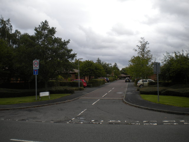
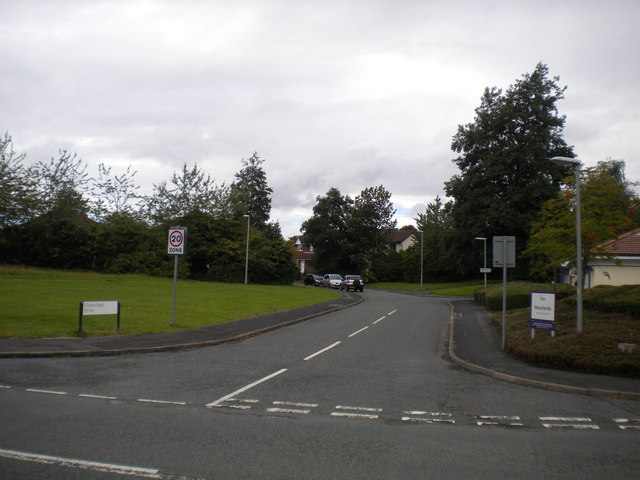
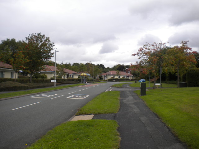
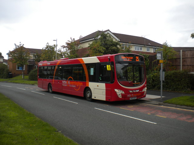
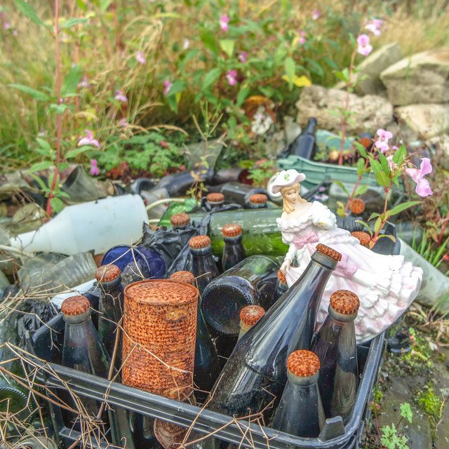
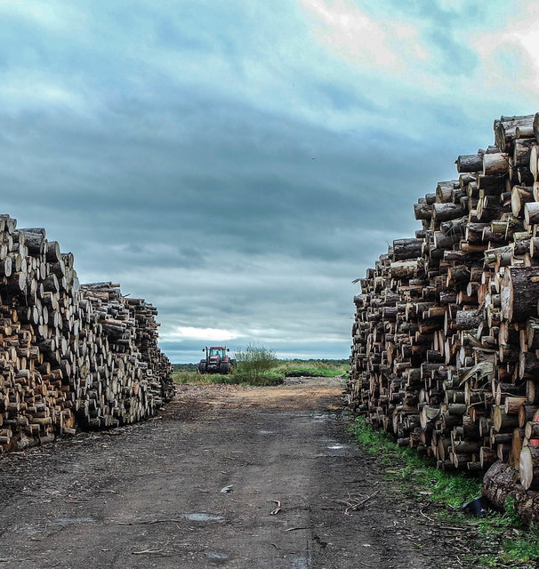
Pestfurlong Moss Images
Images are sourced within 2km of 53.437467/-2.4969069 or Grid Reference SJ6793. Thanks to Geograph Open Source API. All images are credited.

Pestfurlong Moss is located at Grid Ref: SJ6793 (Lat: 53.437467, Lng: -2.4969069)
Unitary Authority: Warrington
Police Authority: Cheshire
What 3 Words
///ferrying.solids.madder. Near Culcheth, Cheshire
Nearby Locations
Related Wikis

Newchurch Halt railway station
Newchurch Halt was a railway station on the former Wigan Junction Railways line between Glazebrook and Wigan Central. == History == The station opened...
Risley Moss
Risley Moss is an area of peat bog situated near Birchwood in Warrington, England. It is a country park, Site of Special Scientific Interest and a Local...

HM Prison Risley
HM Prison Risley is a category C men's prison, located in the Risley area of Warrington, Cheshire, England, operated by His Majesty's Prison Service....
Risley, Warrington
Risley is a district in the northeast corner of Warrington, in the Warrington district, in the ceremonial county of Cheshire, England. Within the boundaries...

A574 road
The A574 is a road in England, running through the borough of Warrington before terminating at the end of Butts Bridge in Leigh. The route covers a distance...
Culcheth High School
Culcheth High School is a community school for students aged 11–16, located in Warrington, Cheshire. It serves many of the surrounding areas with a student...
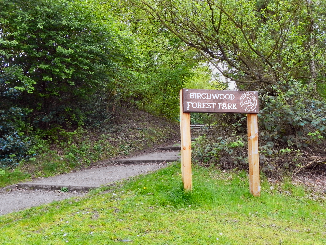
Birchwood Forest Park
Birchwood Forest Park covers the area formerly occupied by the Royal Ordnance Factory, ROF Risley, in Birchwood, Warrington, in north-west England. The...
Culcheth
Culcheth is a village in the civil parish of Culcheth and Glazebury, Cheshire, England, six miles (10 km) north-east of Warrington. Within the boundaries...
Nearby Amenities
Located within 500m of 53.437467,-2.4969069Have you been to Pestfurlong Moss?
Leave your review of Pestfurlong Moss below (or comments, questions and feedback).