Lenacre

Downs, Moorland in Yorkshire South Lakeland

England

Lenacre

Rash Mill and chapel A grade II listed 18th century water-powered corn mill (left) with at right a Methodist chapel. See <a href="https://www.geograph.org.uk/photo/4500266">SD6589 : Rash Bridge</a> for a closer view of the mill.   The chapel was closed, and from the amount of cobweb across the door I expect it had not been opened since the start of the Covid-19 pandemic some 17 months earlier.
Rash Mill and chapel Credit: Stephen Craven

The requested URL returned error: 429 Too Many Requests

If you have any feedback on the listing, please let us know in the comments section below.
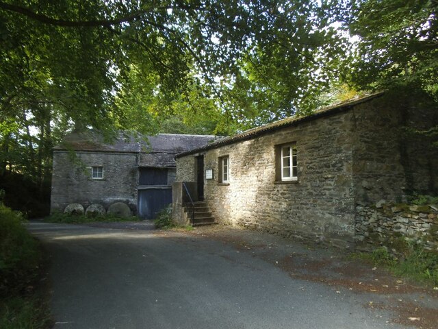
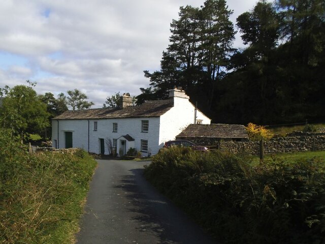
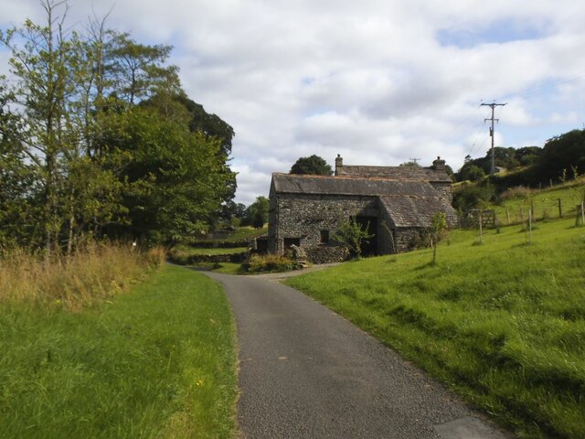
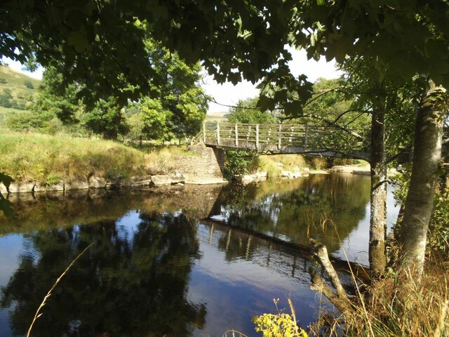
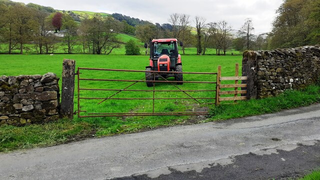
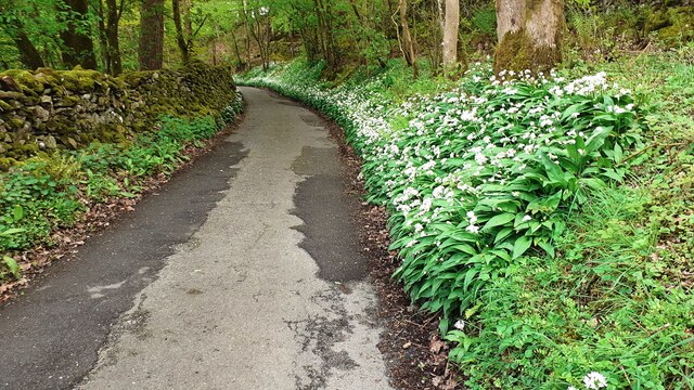
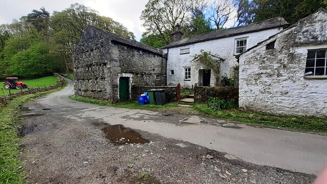
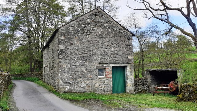
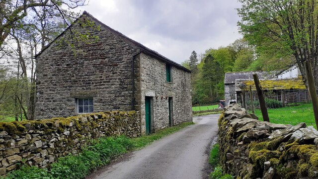
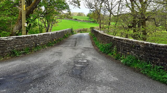
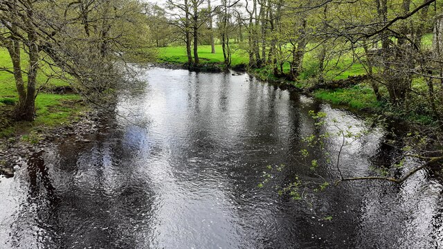
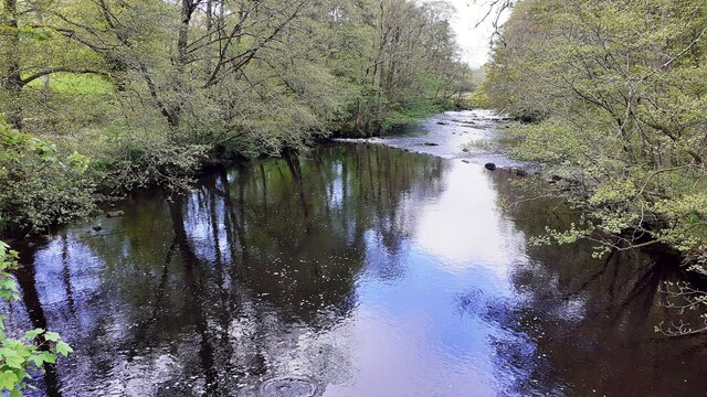
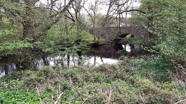
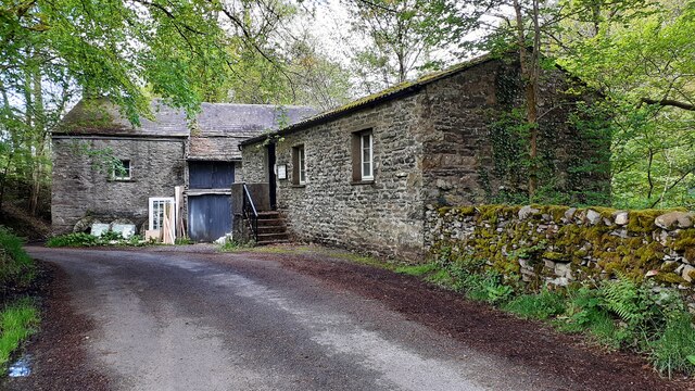
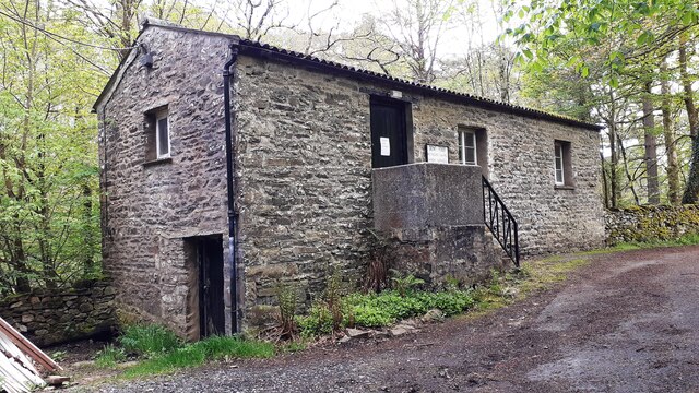
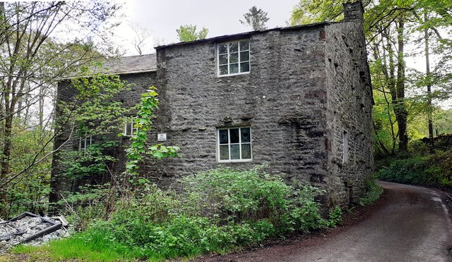
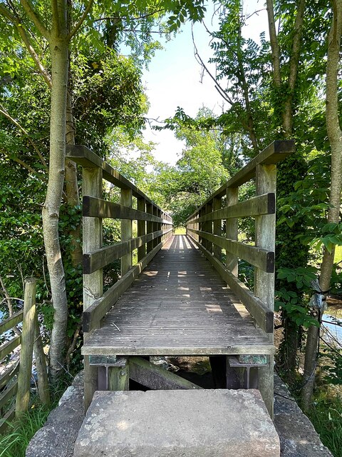
Lenacre Images

Images are sourced within 2km of 54.297931/-2.5070625 or Grid Reference SD6789. Thanks to Geograph Open Source API. All images are credited.

Rash Mill and chapel A grade II listed 18th century water-powered corn mill (left) with at right a Methodist chapel. See <a href="https://www.geograph.org.uk/photo/4500266">SD6589 : Rash Bridge</a> for a closer view of the mill.   The chapel was closed, and from the amount of cobweb across the door I expect it had not been opened since the start of the Covid-19 pandemic some 17 months earlier.
Rash Mill and chapel
A grade II listed 18th century water-powered corn mill (left) with at right a Methodist chapel. See SD6589 : Rash Bridge for a closer view of the mill. The chapel was closed, and from the amount of cobweb across the door I expect it had not been opened since the start of the Covid-19 pandemic some 17 months earlier.
Brackensgill farm A grade II listed farmhouse with attached barn, "perhaps C17, remodelled and enlarged in C18 and C19" (list entry 1383931).
Brackensgill farm
A grade II listed farmhouse with attached barn, "perhaps C17, remodelled and enlarged in C18 and C19" (list entry 1383931).
Ellers barn A grade II listed barn (list entry 1383860).  The farmhouse beyond <a href="https://www.geograph.org.uk/photo/3629842">SD6788 : The farm at Ellers</a>, not clearly visible in this photo, is also listed (1383859).
Ellers barn
A grade II listed barn (list entry 1383860). The farmhouse beyond SD6788 : The farm at Ellers, not clearly visible in this photo, is also listed (1383859).
Footbridge over the river Dee at Ellers This is the small river Dee in Cumbria, not the better known larger rivers of that name in Cheshire or Aberdeen. The bridge is close to Ellers Farm <a href="https://www.geograph.org.uk/photo/2674190">SD6788 : Ellers, lower Dentdale</a>, so I presume it was intended primarily for their use, but it is on a public footpath.   Quite a long single span (c.15m) for a straight (not arched) wooden footbridge.
Footbridge over the river Dee at Ellers
This is the small river Dee in Cumbria, not the better known larger rivers of that name in Cheshire or Aberdeen. The bridge is close to Ellers Farm SD6788 : Ellers, lower Dentdale, so I presume it was intended primarily for their use, but it is on a public footpath. Quite a long single span (c.15m) for a straight (not arched) wooden footbridge.
Tractor in field at Rash
Rural road SE of Rash entering Scar wood Wild garlic adorns the right hand verge
Rural road SE of Rash entering Scar wood
Wild garlic adorns the right hand verge
Rash Mill Cottage and outbuildings
Farm building SE of Rash Bridge
Farm buildings beside road SE of Rash Bridge
Bridge taking Mill Lane over River Dee
Rash Mill Cottage and outbuildings
Looking southeast along River Dee from Rash Bridge
Looking northwest along River Dee from Rash Bridge
View to Rash Bridge from road on SW side of River Dee
Dent Foot Methodist Chapel and Rash Mill
Dent Foot Methodist Chapel The notice on the door reports 'chapel now closed'
Dent Foot Methodist Chapel
The notice on the door reports 'chapel now closed'
Northwest face of Rash Mill
Footbringe over the River Dee
Show me another place!

Lenacre is located at Grid Ref: SD6789 (Lat: 54.297931, Lng: -2.5070625)

Division: West Riding

Administrative County: Cumbria

District: South Lakeland

Police Authority: Cumbria

What 3 Words

///status.that.snowballs. Near Sedbergh, Cumbria

Nearby Locations

Burton Hill Wood Lenacre

Related Wikis

Millthrop

Millthrop is a hamlet in the South Lakeland district of Cumbria, Northern England and the Yorkshire Dales. Millthrop lies on the south bank of the River...

Sedbergh School Chapel

Sedbergh School Chapel is located to the southeast of Sedbergh School, Sedbergh, Cumbria, England. It is considered to be of architectural importance...

Settlebeck School

Settlebeck School is a small coeducational secondary school with academy status. It is located in Sedbergh in the English county of Cumbria, drawing pupils...

River Dee, Cumbria

The River Dee is a river running through the extreme south east of Cumbria, a part of the Craven region traditionally part of the West Riding of Yorkshire...

Nearby Amenities

Located within 500m of 54.297931,-2.5070625
Natural: spring
Lat/Long: 54.2944352/-2.5111882
Natural: spring
Lat/Long: 54.2942975/-2.5110165
Rottenbutts Wood
Lat/Long: 54.2954602/-2.5083496
Post Box
Operator: Royal Mail
Post Box Type: wall
Ref: LA10 76
Royal Cypher: EVIIR
Royal Cypher Wikidata: Q33102324
Source: survey
Lat/Long: 54.3012865/-2.5118151
Hiking: yes
Information: guidepost
Source: GPS survey
Tourism: information
Lat/Long: 54.3011267/-2.5115615
Ford: yes
Lat/Long: 54.2990367/-2.513211
Hiking: yes
Information: guidepost
Source: GPS survey
Tourism: information
Lat/Long: 54.2982386/-2.5134947
Bench
Lat/Long: 54.2946935/-2.5018398
Power: pole
Lat/Long: 54.299375/-2.4999633
Power: pole
Lat/Long: 54.2996531/-2.5008759
Power: pole
Lat/Long: 54.2998852/-2.5016738
Power: pole
Lat/Long: 54.3002779/-2.5029944
Power: pole
Lat/Long: 54.3006022/-2.5041696
Power: pole
Lat/Long: 54.3010217/-2.5052658
Power: pole
Lat/Long: 54.30141/-2.5063237
Power: pole
Lat/Long: 54.3020229/-2.5079961
Power: pole
Lat/Long: 54.3001582/-2.5053958
Power: pole
Lat/Long: 54.3004066/-2.504719
Power: pole
Lat/Long: 54.3010106/-2.5042155
Power: pole
Lat/Long: 54.3013966/-2.5042894
Power: pole
Lat/Long: 54.3017908/-2.504348
Power: pole
Lat/Long: 54.3012731/-2.5108666
Brackengill
Place: locality
Lat/Long: 54.2981442/-2.513576
Power: pole
Lat/Long: 54.2989607/-2.5140602
Power: pole
Lat/Long: 54.2984812/-2.5132265
The data included in this document is from www.openstreetmap.org. The data is made available under ODbL.

Have you been to Lenacre?

Leave your review of Lenacre below (or comments, questions and feedback).