Pestfurlong Hill

Hill, Mountain in Lancashire

England

Pestfurlong Hill

Rendlesham Close, Gorse Covert A residential cul de sac off Gorse Covert Road.
Rendlesham Close, Gorse Covert Credit: Richard Vince

Pestfurlong Hill, located in Lancashire, is a notable hill formation that is part of the Pennines range in northern England. With an elevation of approximately 493 meters (1,617 feet) above sea level, it is regarded as one of the prominent hills in the area.

Situated near the village of Newchurch in Pendle, Pestfurlong Hill offers breathtaking panoramic views of the surrounding Lancashire countryside. The hill is characterized by its distinctive shape, featuring a gently sloping terrain covered in lush grasses and heather moorland. Its summit provides a perfect vantage point from which to admire the picturesque Pendle Hill and the Ribble Valley.

Pestfurlong Hill is a popular destination for both locals and tourists who enjoy outdoor activities such as hiking, walking, and bird watching. The hill is crisscrossed by a network of footpaths and trails that allow visitors to explore its natural beauty at their own pace. Keen observers may spot various bird species, including the elusive short-eared owl and the endangered hen harrier.

The hill has a rich historical significance, with evidence of human occupation dating back to the Neolithic period. It is believed that the hill was used for farming and grazing in ancient times. Furthermore, Pestfurlong Hill is closely associated with the infamous Pendle Witch Trials of 1612, as it lies within the same vicinity as Pendle Hill, where the trials took place.

Overall, Pestfurlong Hill stands as a beautiful natural landmark, offering visitors a chance to immerse themselves in Lancashire's rich history and stunning landscapes.

If you have any feedback on the listing, please let us know in the comments section below.

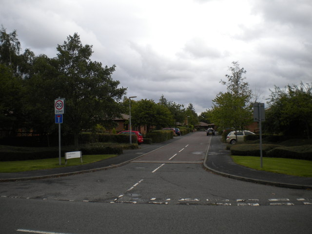
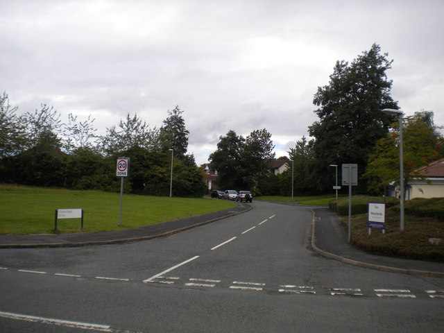
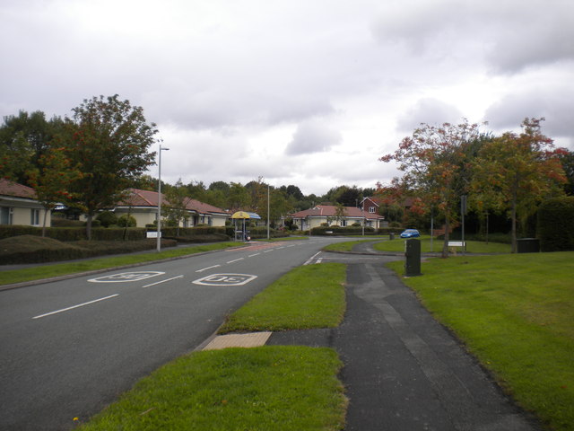
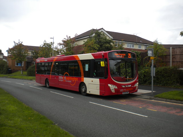
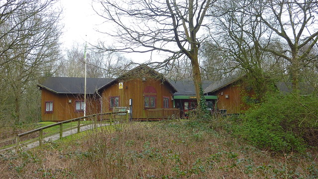
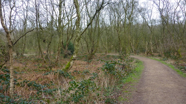
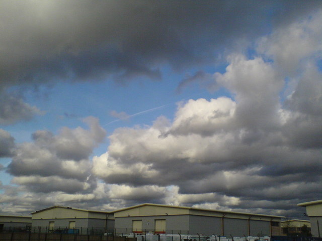
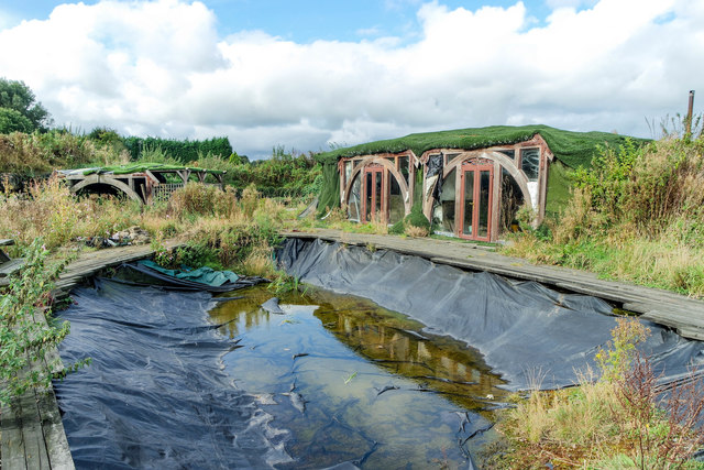
Pestfurlong Hill Images

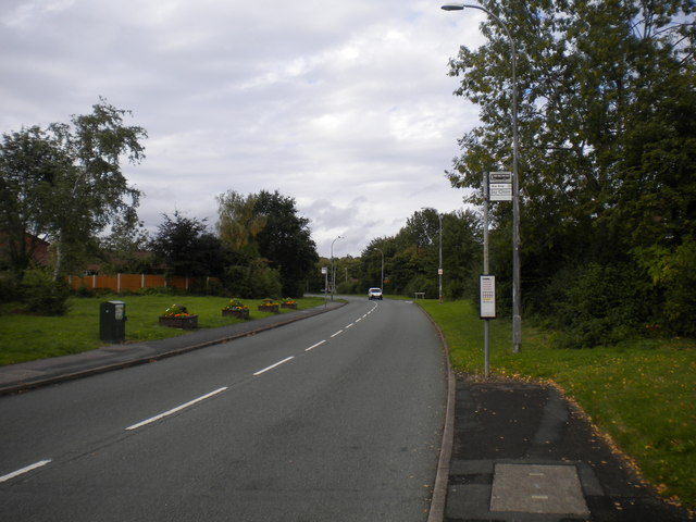
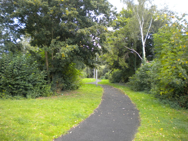
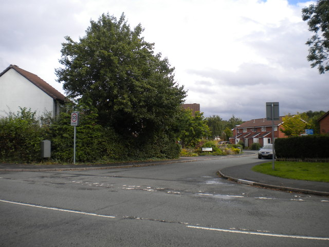
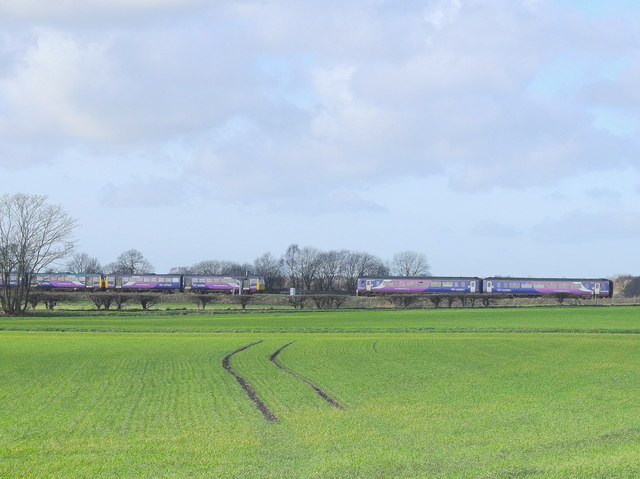
Images are sourced within 2km of 53.433885/-2.4957964 or Grid Reference SJ6793. Thanks to Geograph Open Source API. All images are credited.

Rendlesham Close, Gorse Covert A residential cul de sac off Gorse Covert Road.
Rendlesham Close, Gorse Covert
A residential cul de sac off Gorse Covert Road.
East end of Fisherfield Drive, Gorse Covert Seen from Gorse Covert Road.
East end of Fisherfield Drive, Gorse Covert
Seen from Gorse Covert Road.
Gorse Covert Road, Gorse Covert The main distributor road in the estate, seen from just south west of the junction with Stainmore Close (right).
Gorse Covert Road, Gorse Covert
The main distributor road in the estate, seen from just south west of the junction with Stainmore Close (right).
Bus on Gorse Covert Road, Gorse Covert Buses serving Gorse Covert traverse the entire length of Gorse Covert Road in order to turn round, taking any necessary layover time here, just after passing the shops for the first time. This Volvo B7RLE/Wrightbus Eclipse Urban 2, of Network Warrington, is doing just that before operating a journey on the 25 to Warrington town centre.
Bus on Gorse Covert Road, Gorse Covert
Buses serving Gorse Covert traverse the entire length of Gorse Covert Road in order to turn round, taking any necessary layover time here, just after passing the shops for the first time. This Volvo B7RLE/Wrightbus Eclipse Urban 2, of Network Warrington, is doing just that before operating a journey on the 25 to Warrington town centre.
Admirals Road, Oakwood The main distributor road through Oakwood, seen close to its eastern extremity.
Admirals Road, Oakwood
The main distributor road through Oakwood, seen close to its eastern extremity.
Footpath off Admirals Road, Oakwood
West end of McCarthy Close, Oakwood One of several residential cul de sacs off Admirals Road.
West end of McCarthy Close, Oakwood
One of several residential cul de sacs off Admirals Road.
Trains near Glazebrook
Risley Moss Visitor Centre
Risley Moss
Risley Moss
Dramatic clouds over Birchwood
Abandoned Summer House, Glazebrook At some point someone has built a summer house with a pond, covered in astro-turf and hidden in the corner of the allotments on Holcroft Lane. It's long-since been used; the pond has emptied, the decking is rotten and rusty crates of beer litter the area.
Abandoned Summer House, Glazebrook
At some point someone has built a summer house with a pond, covered in astro-turf and hidden in the corner of the allotments on Holcroft Lane. It's long-since been used; the pond has emptied, the decking is rotten and rusty crates of beer litter the area.
Rusty Beer Bottles, Glazebrook At some point someone has built a summer house with a pond, covered in astro-turf and hidden in the corner of the allotments on Holcroft Lane. It's long-since been used; the pond has emptied, the decking is rotten and rusty crates of beer litter the area.
Rusty Beer Bottles, Glazebrook
At some point someone has built a summer house with a pond, covered in astro-turf and hidden in the corner of the allotments on Holcroft Lane. It's long-since been used; the pond has emptied, the decking is rotten and rusty crates of beer litter the area.
Abandoned Beer, Glazebrook Allotments At some point someone has built a summer house with a pond, covered in astro-turf and hidden in the corner of the allotments on Holcroft Lane. It's long-since been used; the pond has emptied, the decking is rotten and rusty crates of beer litter the area. The bottles have not been opened.
Abandoned Beer, Glazebrook Allotments
At some point someone has built a summer house with a pond, covered in astro-turf and hidden in the corner of the allotments on Holcroft Lane. It's long-since been used; the pond has emptied, the decking is rotten and rusty crates of beer litter the area. The bottles have not been opened.
Dilapidated Tractor, Little Woolden Hall Farm, Glazebrook Dilapidated Tractor, Little Woolden Hall Farm, Glazebrook.
Dilapidated Tractor, Little Woolden Hall Farm, Glazebrook
Dilapidated Tractor, Little Woolden Hall Farm, Glazebrook.
Corrugated panels, Little Woolden Hall Farm, Glazebrook Corrugated panels, Little Woolden Hall Farm, Glazebrook. Spiders webs suggest little recent use but these panels make, in the meantime, an attractive abstract image.
Corrugated panels, Little Woolden Hall Farm, Glazebrook
Corrugated panels, Little Woolden Hall Farm, Glazebrook. Spiders webs suggest little recent use but these panels make, in the meantime, an attractive abstract image.
Lakeside view Wonderful day for a walk round the small lagoons near Culcheth.
Lakeside view
Wonderful day for a walk round the small lagoons near Culcheth.
Log Stacks, Little Woolden Hall Farm Log Stacks, Little Woolden Hall Farm near Galzebrook, Warrington.
Log Stacks, Little Woolden Hall Farm
Log Stacks, Little Woolden Hall Farm near Galzebrook, Warrington.
Show me another place!

Pestfurlong Hill is located at Grid Ref: SJ6793 (Lat: 53.433885, Lng: -2.4957964)

Unitary Authority: Warrington

Police Authority: Cheshire

What 3 Words

///unclaimed.bounding.party. Near Culcheth, Cheshire

Related Wikis

Risley Moss

Risley Moss is an area of peat bog situated near Birchwood in Warrington, England. It is a country park, Site of Special Scientific Interest and a Local...

Risley, Warrington

Risley is a district in the northeast corner of Warrington, in the Warrington district, in the ceremonial county of Cheshire, England. Within the boundaries...

Newchurch Halt railway station

Newchurch Halt was a railway station on the former Wigan Junction Railways line between Glazebrook and Wigan Central. == History == The station opened...

HM Prison Risley

HM Prison Risley is a category C men's prison, located in the Risley area of Warrington, Cheshire, England, operated by His Majesty's Prison Service....

Nearby Amenities

Located within 500m of 53.433885,-2.4957964
Motorway Junction
Birchwood Interchange
Ref: 11
Lat/Long: 53.4354795/-2.4925289
Turning Circle
Lat/Long: 53.4297419/-2.497597
Traffic Signals
Ramp Metering: yes
Traffic Signals: ramp_meter
Lat/Long: 53.4354492/-2.4966766
Phone
Emergency: phone
Ref: 1340A
Lat/Long: 53.4358559/-2.4910217
Bus Stop
Inglewood Close
Bus: yes
Public Transport: platform
Shelter: yes
Lat/Long: 53.43026/-2.4987141
Pestfurlong Hill
Alt Name: Gorse Covert Hill
Natural: peak
Lat/Long: 53.4340027/-2.4960085
Pestfurlong Moss
Natural: wetland
Source: local knowledge
Wetland: marsh
Lat/Long: 53.4324219/-2.4964431
Phone
Emergency: phone
Ref: 1340B
Lat/Long: 53.4354497/-2.4915251
Crossing
Crossing: unmarked
Crossing Island: yes
Tactile Paving: yes
Lat/Long: 53.4359168/-2.500205
Barrier: kissing_gate
Bicycle: yes
Foot: yes
Horse: no
Motor Vehicle: no
Lat/Long: 53.4359692/-2.5002931
Generator Method: photovoltaic
Generator Output Electricity: yes
Generator Source: solar
Generator Type: solar_photovoltaic_panel
Location: roof
Power: generator
Lat/Long: 53.430634/-2.4952799
Generator Method: photovoltaic
Generator Output Electricity: yes
Generator Source: solar
Generator Type: solar_photovoltaic_panel
Location: roof
Power: generator
Lat/Long: 53.430634/-2.4951297
Generator Method: photovoltaic
Generator Output Electricity: yes
Generator Source: solar
Generator Type: solar_photovoltaic_panel
Location: roof
Power: generator
Lat/Long: 53.4313387/-2.4992174
Generator Method: photovoltaic
Generator Output Electricity: yes
Generator Source: solar
Generator Type: solar_photovoltaic_panel
Location: roof
Power: generator
Lat/Long: 53.4302249/-2.5001106
Generator Method: photovoltaic
Generator Output Electricity: yes
Generator Source: solar
Generator Type: solar_photovoltaic_panel
Location: roof
Power: generator
Lat/Long: 53.4302345/-2.5001696
Generator Method: photovoltaic
Generator Output Electricity: yes
Generator Source: solar
Generator Type: solar_photovoltaic_panel
Location: roof
Power: generator
Lat/Long: 53.4300043/-2.4995446
Crossing
Crossing: unmarked
Crossing Island: no
Kerb: normal
Tactile Paving: no
Lat/Long: 53.4345702/-2.4990022
Barrier: kerb
Lat/Long: 53.4345967/-2.4990257
Barrier: kerb
Lat/Long: 53.4345432/-2.4989782
Crossing
Crossing: unmarked
Crossing Island: no
Kerb: normal
Tactile Paving: no
Lat/Long: 53.4355122/-2.499165
Crossing
Crossing: unmarked
Crossing Island: yes
Tactile Paving: yes
Lat/Long: 53.4358737/-2.499788
Barrier: kerb
Kerb: rolled
Lat/Long: 53.4343233/-2.4991149
Barrier: kissing_gate
Bicycle: yes
Foot: yes
Lat/Long: 53.4360483/-2.4993067
Street Lamp
Lamp Mount: straight_mast
Lamp Type: led
Lat/Long: 53.4327286/-2.5028839
Street Lamp
Lamp Mount: straight_mast
Lamp Type: led
Lat/Long: 53.4329792/-2.5020844
Street Lamp
Lamp Mount: straight_mast
Lamp Type: led
Lat/Long: 53.4328488/-2.5024777
Street Lamp
Lamp Mount: straight_mast
Lamp Type: led
Lat/Long: 53.4331166/-2.5017256
Street Lamp
Lamp Mount: straight_mast
Lamp Type: led
Lat/Long: 53.4332691/-2.5013705
Street Lamp
Lamp Mount: straight_mast
Lamp Type: led
Lat/Long: 53.4334388/-2.5010144
Street Lamp
Lamp Mount: straight_mast
Lamp Type: led
Lat/Long: 53.4336189/-2.5006712
Street Lamp
Lamp Mount: straight_mast
Lamp Type: led
Lat/Long: 53.433489/-2.5004626
Street Lamp
Lamp Mount: straight_mast
Lamp Type: led
Lat/Long: 53.4333091/-2.5008231
Street Lamp
Lamp Mount: straight_mast
Lamp Type: led
Lat/Long: 53.4331279/-2.5012206
Street Lamp
Lamp Mount: straight_mast
Lamp Type: led
Lat/Long: 53.4329824/-2.5016011
Street Lamp
Lamp Mount: straight_mast
Lamp Type: led
Lat/Long: 53.4328432/-2.5019639
Street Lamp
Lamp Mount: straight_mast
Lamp Type: led
Lat/Long: 53.4327051/-2.5023691
Street Lamp
Lamp Mount: straight_mast
Lamp Type: led
Lat/Long: 53.432586/-2.5027849
Street Lamp
Lamp Mount: straight_mast
Lamp Type: led
Lat/Long: 53.4338558/-2.500141
Street Lamp
Direction: 100;280
Lamp Mount: straight_mast
Lamp Type: led
Lat/Long: 53.4341174/-2.4997451
Man Made: surveillance
Surveillance: traffic
Surveillance Type: camera
Lat/Long: 53.434364/-2.4991032
Encounter
Artwork Type: sculpture
Tourism: artwork
Wikidata: Q124327812
Lat/Long: 53.4339999/-2.5000839
Street Lamp
Lamp Mount: straight_mast
Lamp Type: low_pressure_sodium
Lat/Long: 53.4340761/-2.50045
Street Lamp
Lamp Mount: bent_mast
Lamp Type: low_pressure_sodium
Lat/Long: 53.434222/-2.500658
Street Lamp
Direction: 50;230
Lamp Mount: bent_mast
Lamp Type: low_pressure_sodium
Lat/Long: 53.4344707/-2.5009476
Street Lamp
Lamp Mount: bent_mast
Lamp Type: low_pressure_sodium
Layer: 1
Lat/Long: 53.4347456/-2.5010727
Street Lamp
Lamp Mount: bent_mast
Lamp Type: low_pressure_sodium
Layer: 1
Lat/Long: 53.4350266/-2.5011346
Street Lamp
Direction: 120;300
Lamp Mount: bent_mast
Lamp Type: high_pressure_sodium
Lat/Long: 53.4353432/-2.5011172
Street Lamp
Lamp Mount: bent_mast
Lamp Type: low_pressure_sodium
Lat/Long: 53.4356427/-2.5009213
Street Lamp
Lamp Mount: bent_mast
Lamp Type: low_pressure_sodium
Lat/Long: 53.4358214/-2.5005402
Street Lamp
Lamp Mount: straight_mast
Lamp Type: led
Lat/Long: 53.4358726/-2.5001503
Street Lamp
Lamp Mount: straight_mast
Lamp Type: led
Lat/Long: 53.4358538/-2.4998716
Barrier: bollard
Bollard: fixed
Colour: #000000
Height: 1
Lat/Long: 53.435857/-2.4998539
Barrier: bollard
Bollard: fixed
Colour: #000000
Height: 1
Lat/Long: 53.4358841/-2.5001713
Street Lamp
Lamp Mount: bent_mast
Lamp Type: high_pressure_sodium
Lat/Long: 53.4356887/-2.4994043
Street Lamp
Direction: 50;230
Lamp Mount: bent_mast
Lamp Type: low_pressure_sodium
Lat/Long: 53.4354888/-2.4992158
Street Lamp
Lamp Mount: bent_mast
Lamp Type: low_pressure_sodium
Layer: 1
Lat/Long: 53.4352029/-2.4991311
Street Lamp
Lamp Mount: bent_mast
Lamp Type: low_pressure_sodium
Layer: 1
Lat/Long: 53.4349065/-2.4990708
Street Lamp
Direction: 120;300
Lamp Mount: bent_mast
Lamp Type: high_pressure_sodium
Lat/Long: 53.4345995/-2.4990498
Street Lamp
Lamp Mount: straight_mast
Lamp Type: led
Lat/Long: 53.4343937/-2.4991186
Direction: 260
Traffic Sign: variable_message
Lat/Long: 53.4350244/-2.5014682
Direction: 80
Traffic Sign: variable_message
Lat/Long: 53.434942/-2.4986847
Turning Circle
Lat/Long: 53.4297782/-2.4977477
Crossing
Crossing: unmarked
Crossing Island: no
Crossing Markings: no
Tactile Paving: yes
Lat/Long: 53.4306432/-2.4992505
The data included in this document is from www.openstreetmap.org. The data is made available under ODbL.

Have you been to Pestfurlong Hill?

Leave your review of Pestfurlong Hill below (or comments, questions and feedback).