Stanley Hill

Hill, Mountain in Herefordshire

England

Stanley Hill

Castle Frome Church
Castle Frome Church Credit: mym

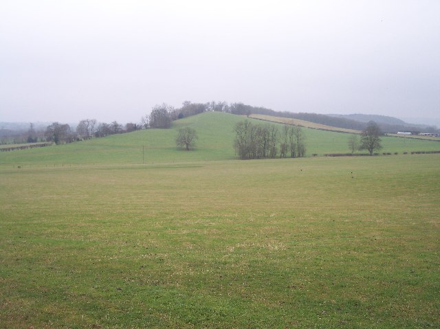
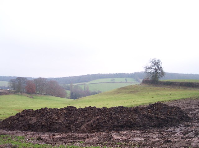
Stanley Hill is a prominent hill located in the county of Herefordshire, England. Standing at an elevation of approximately 358 meters (1,175 feet), it offers breathtaking panoramic views of the surrounding countryside. This picturesque hill is situated amidst the beautiful Herefordshire landscape, which is known for its rolling hills and lush greenery.

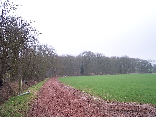
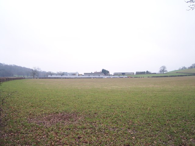
Covered in a patchwork of fields, woodlands, and hedgerows, Stanley Hill is a haven for nature enthusiasts and hikers alike. The hill is home to a diverse range of flora and fauna, including native species such as oak trees, bluebells, and butterflies. Its unspoiled environment makes it an ideal destination for those seeking tranquility and a chance to connect with nature.

The summit of Stanley Hill is easily accessible by foot, with well-maintained footpaths leading up to its peak. Once at the top, visitors are rewarded with breathtaking panoramic views of the surrounding Herefordshire countryside, including the nearby towns and villages. On a clear day, it is even possible to catch a glimpse of the distant Welsh mountains.

Stanley Hill is steeped in history, with evidence of ancient settlements and archaeological sites scattered throughout the area. It is believed to have been inhabited since prehistoric times, and artifacts dating back thousands of years have been discovered in the vicinity.

Overall, Stanley Hill is a hidden gem in Herefordshire, offering stunning natural beauty, rich history, and a peaceful retreat for those seeking solace in the great outdoors.

If you have any feedback on the listing, please let us know in the comments section below.
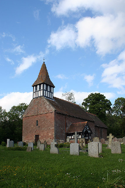
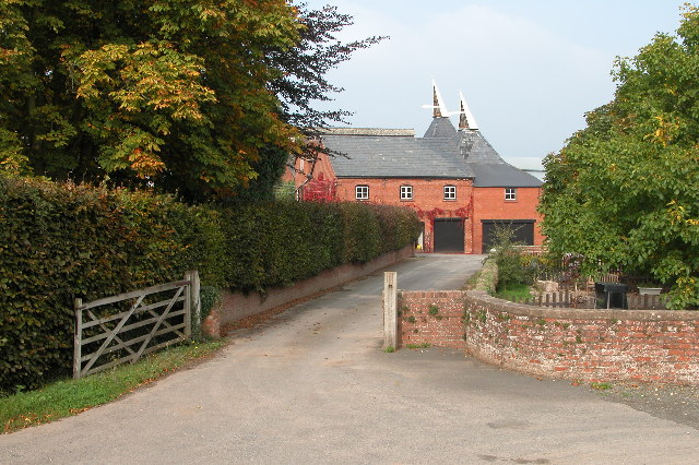
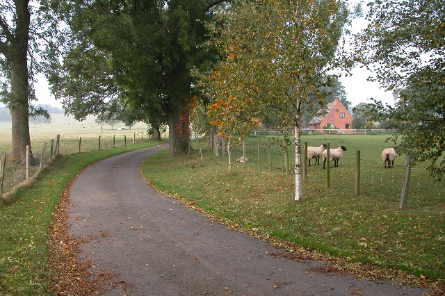
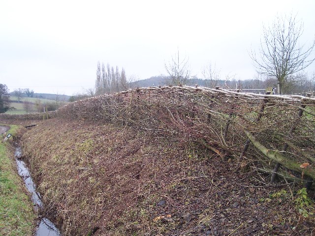
Stanley Hill Images

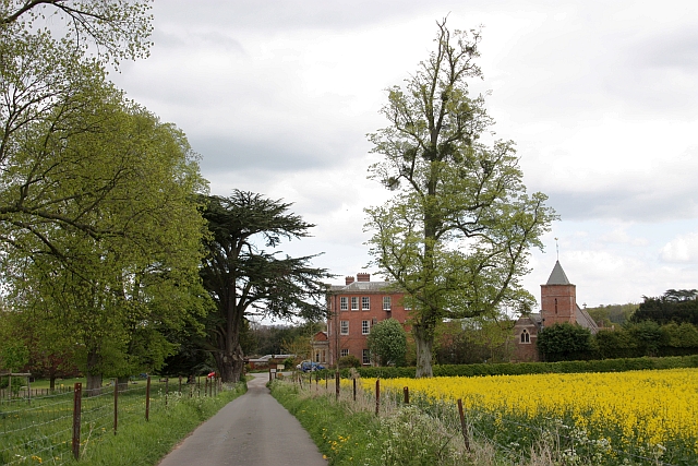
Images are sourced within 2km of 52.0948/-2.4809253 or Grid Reference SO6744. Thanks to Geograph Open Source API. All images are credited.

Castle Frome Church
Castle Frome Church
Bench captured in churchyard I think there must be a local black market in commemorative benches.  The churchyard at Castle Frome.
Bench captured in churchyard
I think there must be a local black market in commemorative benches. The churchyard at Castle Frome.
Hop kilns at Coldgreen Farm
Driveway leading to Upleadon Farm
Farm building near Canon Frome
Millend Farm, Castle Frome Millend Farm viewed through a hop field.
Millend Farm, Castle Frome
Millend Farm viewed through a hop field.
The Hill, Castle Frome The Malvern Hills can be seen in the distance.
The Hill, Castle Frome
The Malvern Hills can be seen in the distance.
Entrance to property near Fromes Hill Entrance to property off the road from Fromes Hill to Bosbury.
Entrance to property near Fromes Hill
Entrance to property off the road from Fromes Hill to Bosbury.
Old barns at Catley Farms, Bosbury
Newly-Laid Hedge, Catley Farms Just recently laid. The cuttings were still piled up by the roadside.
Newly-Laid Hedge, Catley Farms
Just recently laid. The cuttings were still piled up by the roadside.
Un-named Knoll near Redcastle Farm Viewed from the side of Gold Hill looking SW across pasture.
Un-named Knoll near Redcastle Farm
Viewed from the side of Gold Hill looking SW across pasture.
Highlea Wood Looking SE along the access track.
Highlea Wood
Looking SE along the access track.
Old Buildings, Great Catley Ripe for conversion ? a nice mixture of stone, brick and timber.
Old Buildings, Great Catley
Ripe for conversion ? a nice mixture of stone, brick and timber.
Great Catley Mixture of half-timbered front with a brick side.
Great Catley
Mixture of half-timbered front with a brick side.
Edge of Childer Wood Looking NNW along the edge of the wood.
Edge of Childer Wood
Looking NNW along the edge of the wood.
Redcastle Farm Viewed from the west from near the corner of Childer Wood.
Redcastle Farm
Viewed from the west from near the corner of Childer Wood.
Dung Hill for Muck Spreading Looking east from the gate to Shinscroft Farm. muck spreading has already started at the higher slopes of the field.
Dung Hill for Muck Spreading
Looking east from the gate to Shinscroft Farm. muck spreading has already started at the higher slopes of the field.
New and Old Birchend Farms Viewed from the west across the square from the bridleway from Childer wood to millend.
New and Old Birchend Farms
Viewed from the west across the square from the bridleway from Childer wood to millend.
Show me another place!

Stanley Hill is located at Grid Ref: SO6744 (Lat: 52.0948, Lng: -2.4809253)

Unitary Authority: County of Herefordshire

Police Authority: West Mercia

What 3 Words

///alienated.fuses.seasons. Near Evesbatch, Herefordshire

Related Wikis

Upleadon Preceptory

Upleadon Preceptory was a priory in Herefordshire, England at grid reference SO66504270. == References ==

Fromes Hill

Fromes Hill is a hamlet in the civil parish of Bishop's Frome, in Herefordshire, England, and is about 15 miles (24 km) east from the city and county town...

Bosbury

Bosbury is a village and civil parish in Herefordshire, England, approximately 3.5 miles (5.6 km) north of Ledbury. The small River Leadon flows through...

Canon Frome

Canon Frome is a hamlet and small rural parish on the River Frome, 5 miles northwest of Ledbury, Herefordshire, England with a population of 139. Its most...

Nearby Amenities

Located within 500m of 52.0948,-2.4809253
Bus Stop
Stanley Hill
Naptan AtcoCode: 2090A104900
Naptan Bearing: SE
Naptan BusStopType: CUS
Naptan CommonName: Stanley Hill
Naptan Indicator: adj
Naptan Landmark: opp Holly Mount Farm
Naptan NaptanCode: heradmpd
Naptan Street: B4214
Naptan Verified: no
Source: naptan_import
Lat/Long: 52.0950467/-2.4774848
Bus Stop
Stanley Hill
Naptan AtcoCode: 2090A19735
Naptan Bearing: NW
Naptan BusStopType: CUS
Naptan CommonName: Stanley Hill
Naptan Indicator: opp
Naptan Landmark: Holly Mount Farm
Naptan NaptanCode: heramjdw
Naptan Street: B4214
Naptan Verified: no
Source: naptan_import
Lat/Long: 52.0949918/-2.477552
Power: pole
Lat/Long: 52.0985236/-2.4812029
Power: pole
Lat/Long: 52.0976755/-2.4805498
Birchend Lodge
Power: pole
Transformer: distribution
Voltage Primary: 11000
Lat/Long: 52.0975251/-2.4799168
Power: pole
Lat/Long: 52.0974238/-2.4794944
Power: pole
Lat/Long: 52.0970621/-2.4780406
Power: pole
Lat/Long: 52.0968693/-2.4772373
Power: pole
Lat/Long: 52.0965011/-2.4766418
Rose Mount
Power: pole
Transformer: distribution
Voltage Primary: 11000
Lat/Long: 52.0955874/-2.4778904
Power: pole
Lat/Long: 52.0957476/-2.4772768
Power: pole
Lat/Long: 52.0960883/-2.4759733
Power: pole
Lat/Long: 52.0959845/-2.4757909
Power: pole
Lat/Long: 52.0947412/-2.4737786
Power: pole
Lat/Long: 52.0953554/-2.474779
The data included in this document is from www.openstreetmap.org. The data is made available under ODbL.

Have you been to Stanley Hill?

Leave your review of Stanley Hill below (or comments, questions and feedback).