Braeside

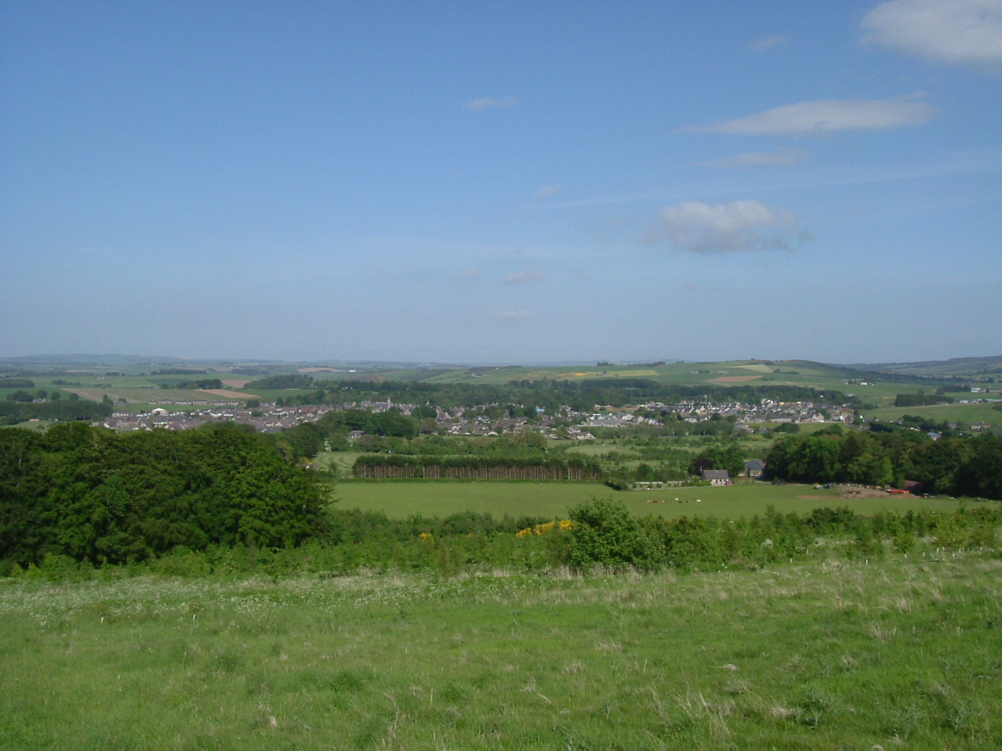
Downs, Moorland in Aberdeenshire

Scotland

Braeside

A welcome at Woodside, near Kirkton of Culsalmond GOML country. I had to go closer to read the smaller, thereby, no doubt, impinging their privacy. Personally, I think people putting up signs like this should be liable for prosecution for threatening behaviour.
A welcome at Woodside, near Kirkton of Culsalmond Credit: Mike Pennington

Braeside is a small village located in the Aberdeenshire region of Scotland. Situated in the northeast of the country, it lies amidst the picturesque landscape of downs and moorland. The village is characterized by its tranquil atmosphere and breathtaking natural beauty.

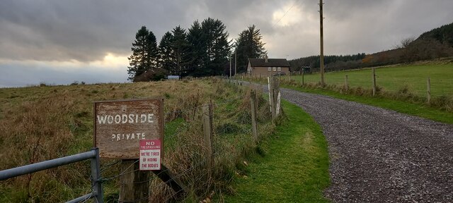
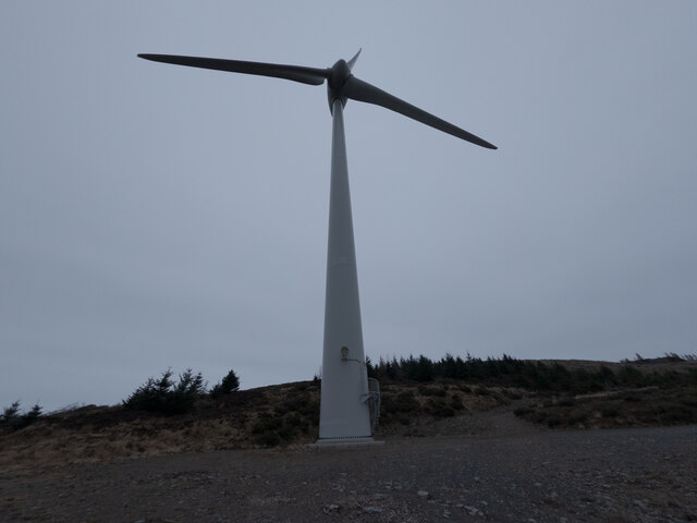
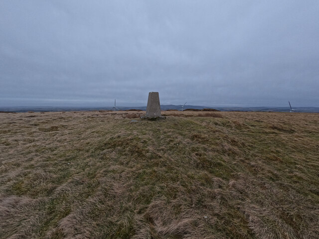
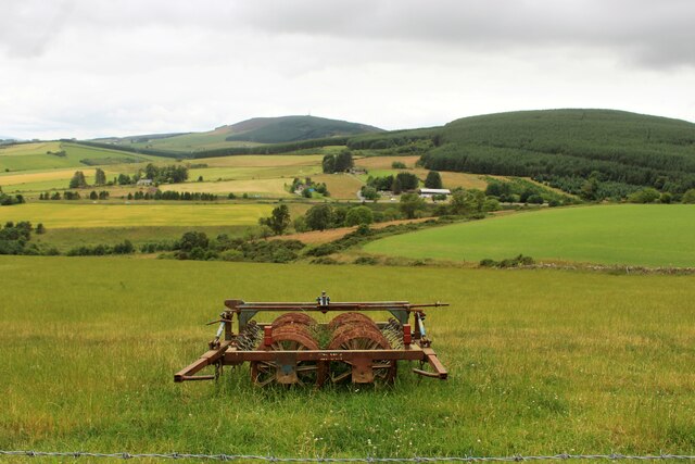
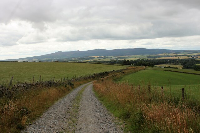
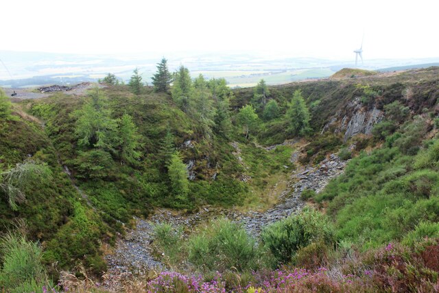
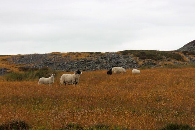
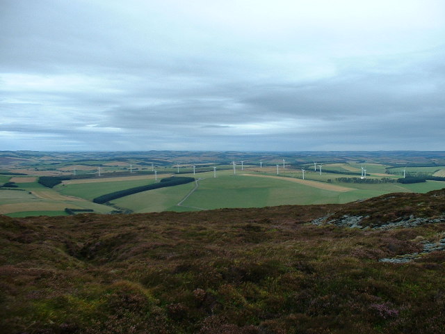
Surrounded by rolling hills and vast expanses of open moorland, Braeside offers an idyllic setting for outdoor enthusiasts and nature lovers. The area is known for its diverse wildlife, including various bird species, deer, and small mammals. The moorland provides an excellent opportunity for hiking, with numerous trails and paths offering stunning views of the surrounding countryside.

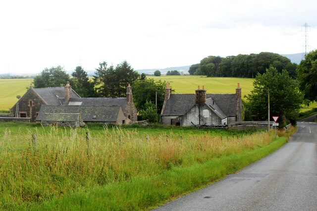
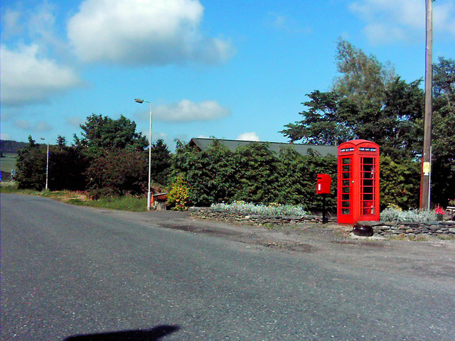
The village itself is charming, with a small population and a close-knit community. Traditional stone cottages and houses dot the landscape, adding to the village's quaint appeal. Braeside boasts a strong sense of community spirit, with regular events and gatherings bringing residents together.

Despite its rural setting, Braeside is within easy reach of amenities and services. The nearby town of Aberdeenshire provides a range of shops, supermarkets, and healthcare facilities. Additionally, the city of Aberdeen is just a short drive away, offering further options for shopping, dining, and entertainment.

Overall, Braeside, Aberdeenshire is a haven of natural beauty and tranquility. Its downs and moorland provide a stunning backdrop for outdoor activities, and its close-knit community fosters a welcoming and friendly atmosphere. Whether exploring the surrounding countryside or enjoying the peaceful village life, Braeside offers a truly special experience for residents and visitors alike.

If you have any feedback on the listing, please let us know in the comments section below.
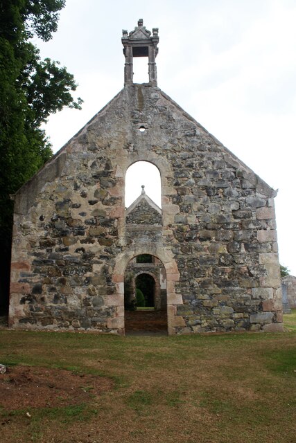
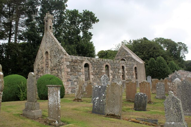
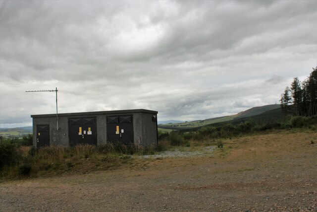
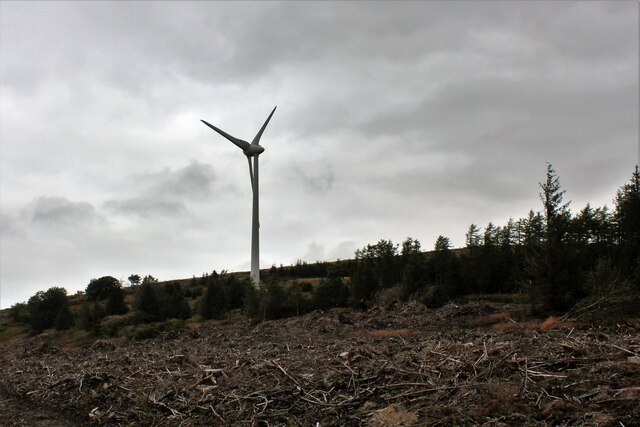
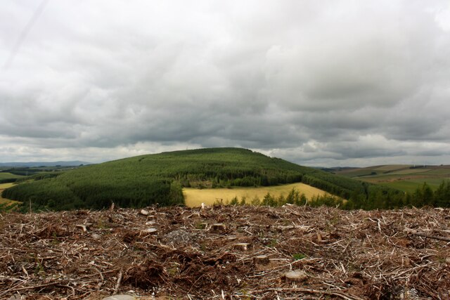
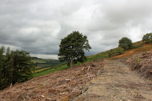
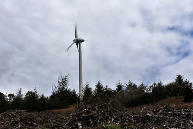
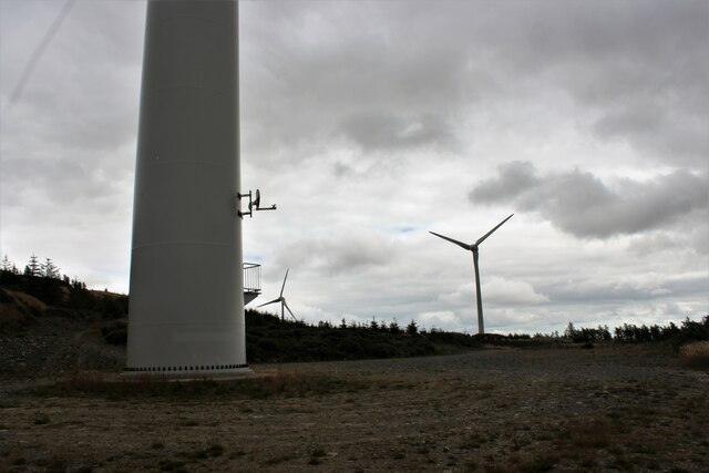
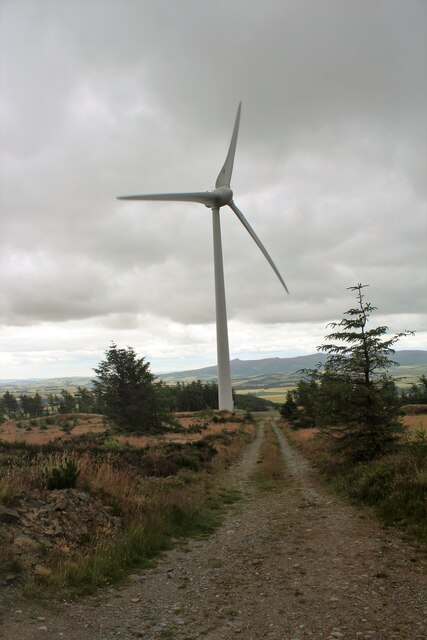
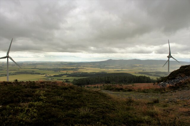
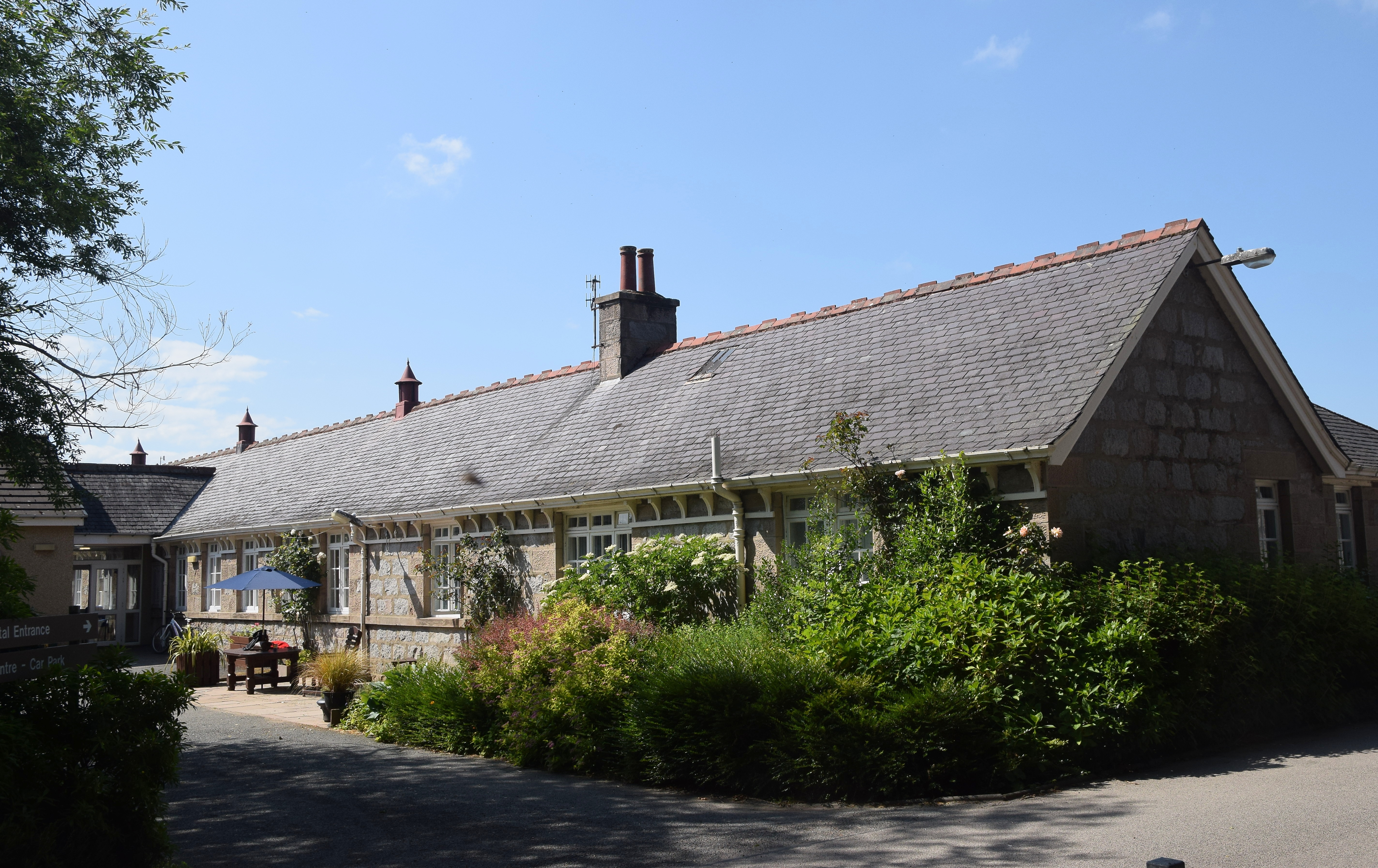
Braeside Images

Images are sourced within 2km of 57.38471/-2.5777026 or Grid Reference NJ6532. Thanks to Geograph Open Source API. All images are credited.

A welcome at Woodside, near Kirkton of Culsalmond GOML country. I had to go closer to read the smaller, thereby, no doubt, impinging their privacy. Personally, I think people putting up signs like this should be liable for prosecution for threatening behaviour.
A welcome at Woodside, near Kirkton of Culsalmond
GOML country. I had to go closer to read the smaller, thereby, no doubt, impinging their privacy. Personally, I think people putting up signs like this should be liable for prosecution for threatening behaviour.
Windy Hill One of a few wind turbines  on the Hill of Tillymorgan
Windy Hill
One of a few wind turbines on the Hill of Tillymorgan
Hill of Tillmorgan Summit of the Hill of Tillymorgan
Hill of Tillmorgan
Summit of the Hill of Tillymorgan
At the Bottom of Culsalmond Brae Buildings at the bottom of Culsalmond Brae, apparently an old schoolhouse and school. A small crossroad is at the right the A920 crossing two minor roads.
At the Bottom of Culsalmond Brae
Buildings at the bottom of Culsalmond Brae, apparently an old schoolhouse and school. A small crossroad is at the right the A920 crossing two minor roads.
Kirk Gable and Bell Tower The west gable of the old kirk of Culsalmond and its empty bell tower. Built in 1791 this church was abandoned in 1937, the west end lies in one grid square and the east in another.
Kirk Gable and Bell Tower
The west gable of the old kirk of Culsalmond and its empty bell tower. Built in 1791 this church was abandoned in 1937, the west end lies in one grid square and the east in another.
Old Culsalmond Kirkyard The old kirkyard at Culsalmond from the south-east,
Old Culsalmond Kirkyard
The old kirkyard at Culsalmond from the south-east,
Left in the Field An agricultural implement in a field above Kirton Farm. The wooded slopes of the Hill of Skares and Gartly Moor lie beyond.
Left in the Field
An agricultural implement in a field above Kirton Farm. The wooded slopes of the Hill of Skares and Gartly Moor lie beyond.
Track to Kirkton Farm The farm track leading south, downhill toward Kirktown Farm. Bennachie as so often prominent on the skyline.
Track to Kirkton Farm
The farm track leading south, downhill toward Kirktown Farm. Bennachie as so often prominent on the skyline.
Hill Workstation A workshop and communication set on the hillside near woodland for a nearby wind farm.
Hill Workstation
A workshop and communication set on the hillside near woodland for a nearby wind farm.
West Turbine The westerly of thee wind turbines on Tillymorgan.
West Turbine
The westerly of thee wind turbines on Tillymorgan.
Tillymorgan Clear-cut Clear-cut woodland atop Tillymorgan Hill with the wooded hill of Skares behind.
Tillymorgan Clear-cut
Clear-cut woodland atop Tillymorgan Hill with the wooded hill of Skares behind.
Lonesome Tree Not exactly a lonesome pine of the song but this tree stands at the end of a forestry track on Tillymorgan.
Lonesome Tree
Not exactly a lonesome pine of the song but this tree stands at the end of a forestry track on Tillymorgan.
Tillymorgan Turbine A wind turbine stands tall on the west side of Tillymorgan Hill.
Tillymorgan Turbine
A wind turbine stands tall on the west side of Tillymorgan Hill.
Turbine Base The base of the westerly turbine and a view to the remaining two on Tillymorgan.
Turbine Base
The base of the westerly turbine and a view to the remaining two on Tillymorgan.
Central Turbine The central of three turbines on Hill of Tillmorgan seen from above.
Central Turbine
The central of three turbines on Hill of Tillmorgan seen from above.
Tillmorgan Turbines Two wind turbines on the Hill of Tillymorgan, distant Bennachie forms part of the skyline.
Tillmorgan Turbines
Two wind turbines on the Hill of Tillymorgan, distant Bennachie forms part of the skyline.
Tillymorgan Slate Quarry An abandoned slate quarry on top of Tillymorgan Hill, with the new industry of power generation evident in the background in the shape of a wind turbine.
Tillymorgan Slate Quarry
An abandoned slate quarry on top of Tillymorgan Hill, with the new industry of power generation evident in the background in the shape of a wind turbine.
Tillymorgan Sheep Quarrying has gone, power production form turbine is the new industry on Tillymorgan but agriculture remains through all as shown by these hardy sheep.
Tillymorgan Sheep
Quarrying has gone, power production form turbine is the new industry on Tillymorgan but agriculture remains through all as shown by these hardy sheep.
Show me another place!

Braeside is located at Grid Ref: NJ6532 (Lat: 57.38471, Lng: -2.5777026)

Unitary Authority: Aberdeenshire

Police Authority: North East

What 3 Words

///smothered.sheep.carting. Near Insch, Aberdeenshire

Related Wikis

Nearby Amenities

Located within 500m of 57.38471,-2.5777026
Kirkton of Culsalmond War Memorial
Historic: memorial
Wikidata: Q114168656
Lat/Long: 57.3856779/-2.5836021
Kirkton of Culsalmond
Place: hamlet
Lat/Long: 57.3853242/-2.5844719
Power: pole
Lat/Long: 57.384648/-2.5849851
Power: pole
Lat/Long: 57.3847718/-2.5838455
Power: pole
Lat/Long: 57.3848894/-2.5826904
Power: pole
Lat/Long: 57.3850331/-2.5815802
Power: pole
Lat/Long: 57.3851586/-2.5803786
Power: pole
Lat/Long: 57.3850342/-2.5797249
Power: pole
Lat/Long: 57.3848435/-2.5787412
Power: pole
Lat/Long: 57.3846336/-2.5775892
Power: pole
Lat/Long: 57.3839941/-2.5768082
Power: pole
Lat/Long: 57.3833743/-2.576023
Power: pole
Lat/Long: 57.3827743/-2.5752701
Power: pole
Lat/Long: 57.3824092/-2.5754275
Power: pole
Lat/Long: 57.3816556/-2.5757209
Power: pole
Lat/Long: 57.3852466/-2.5839999
Power: pole
Lat/Long: 57.3853659/-2.5799296
Power: pole
Lat/Long: 57.3856303/-2.5794098
Power: pole
Lat/Long: 57.3858621/-2.579
Power: pole
Lat/Long: 57.3827531/-2.5851726
Power: pole
Lat/Long: 57.3828307/-2.5843943
Power: pole
Lat/Long: 57.3829228/-2.5836431
Power: pole
Lat/Long: 57.3831118/-2.5820597
Power: pole
Lat/Long: 57.3815773/-2.5726574
Power: pole
Lat/Long: 57.3817955/-2.5732788
Power: pole
Lat/Long: 57.3820477/-2.5739921
Power: pole
Lat/Long: 57.3822937/-2.5746614
Addr City: Insch
Addr Country: GB
Addr Postcode: AB52 6UH
Booth: K6
Covered: booth
Disused Amenity: telephone
Man Made: telephone_box
Ref GB Uprn: 10025446633
Lat/Long: 57.3831046/-2.5820751
The data included in this document is from www.openstreetmap.org. The data is made available under ODbL.

Have you been to Braeside?

Leave your review of Braeside below (or comments, questions and feedback).