Stratton Down
Downs, Moorland in Dorset
England
Stratton Down
Stratton Down is a picturesque area located in the county of Dorset, England. It is situated in the western part of the county, near the town of Dorchester. This area is known for its stunning natural beauty, encompassing both downs and moorland landscapes.
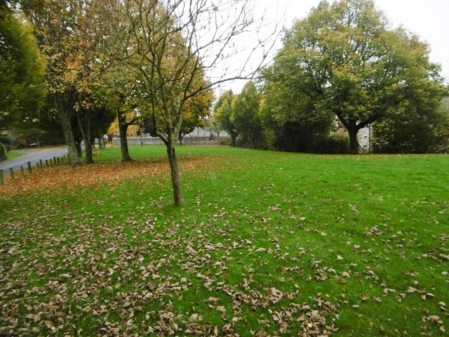
The downs of Stratton Down are characterized by their rolling hills and expansive grasslands. These open spaces provide breathtaking panoramic views of the surrounding countryside, making it a popular destination for nature enthusiasts and hikers. The downs are home to a rich variety of plant and animal species, including wildflowers, butterflies, and birds, adding to the area's ecological diversity.
In addition to the downs, Stratton Down also features extensive areas of moorland. Moorland is a unique type of landscape characterized by its heather-covered hills and peat bogs. This rugged terrain offers a stark contrast to the softer downs, providing visitors with a diverse range of environments to explore. The moorland is home to various wildlife species, including deer, foxes, and birds of prey, making it a haven for nature lovers and photographers.
Stratton Down is also steeped in history, with evidence of human settlement dating back thousands of years. The area is dotted with ancient landmarks, such as burial mounds and stone circles, giving visitors a glimpse into the region's past. Additionally, there are several walking trails and paths that allow visitors to immerse themselves in the rich history and natural beauty of Stratton Down.
Overall, Stratton Down, Dorset, offers a unique blend of downs and moorland landscapes, making it a captivating destination for those seeking natural beauty, wildlife, and historical intrigue.
If you have any feedback on the listing, please let us know in the comments section below.
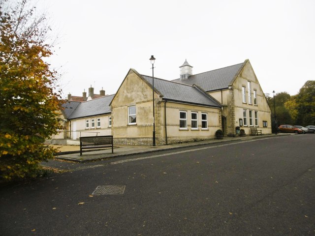
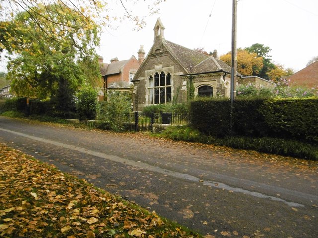
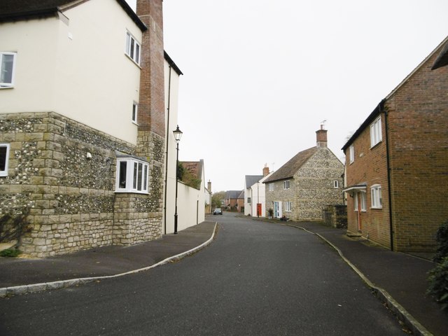
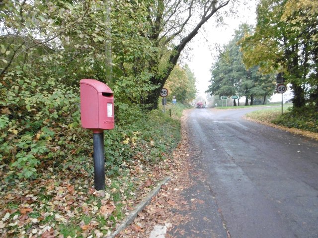
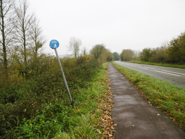
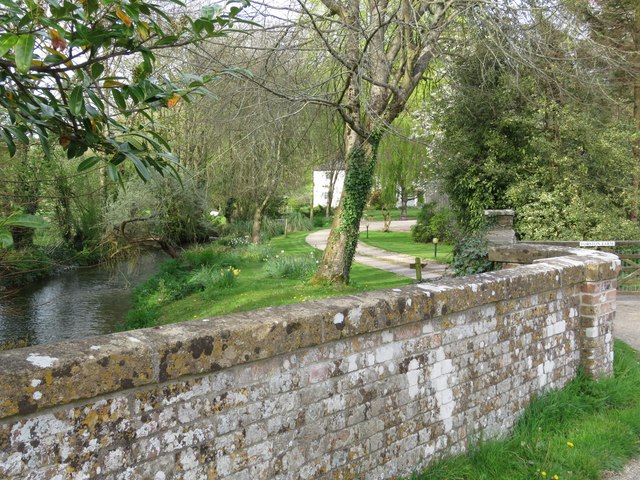
Stratton Down Images
Images are sourced within 2km of 50.759459/-2.4918548 or Grid Reference SY6595. Thanks to Geograph Open Source API. All images are credited.


Stratton Down is located at Grid Ref: SY6595 (Lat: 50.759459, Lng: -2.4918548)
Unitary Authority: Dorset
Police Authority: Dorset
What 3 Words
///mashing.protected.expensive. Near Charminster, Dorset
Related Wikis
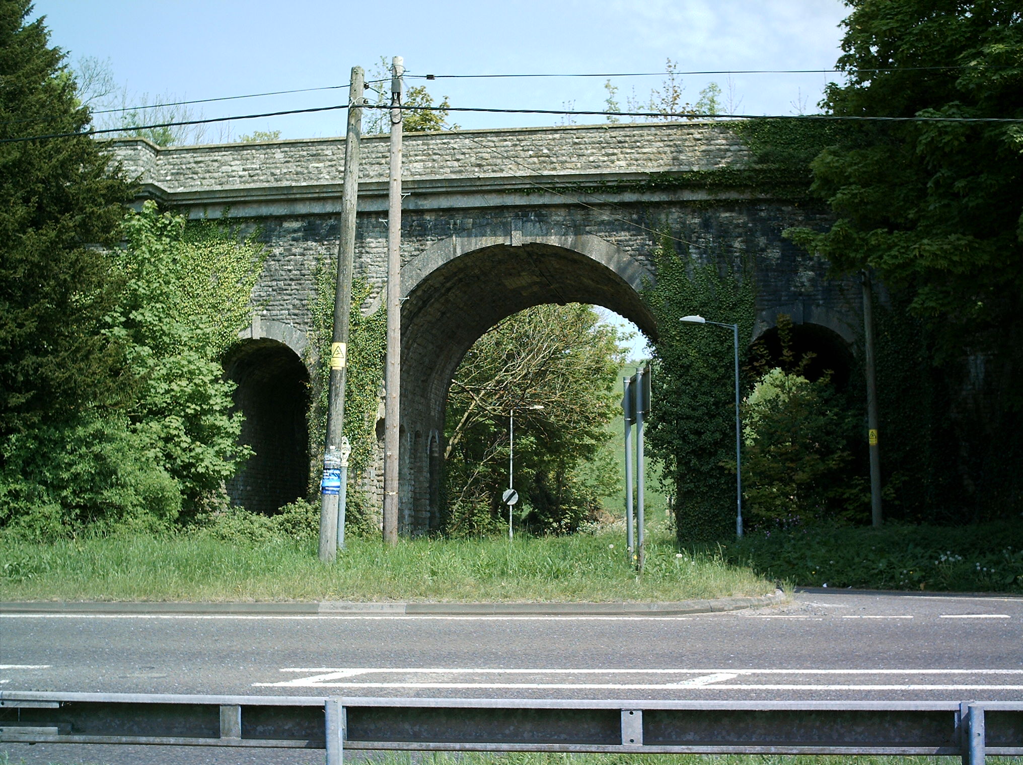
Grimstone Viaduct
The Grimstone Viaduct is a railway bridge on the Castle Cary-Weymouth "Heart of Wessex" line in Dorset, England. It is directly north of the site of Grimstone...

Grimstone and Frampton railway station
Grimstone and Frampton railway station was a station on the Wiltshire, Somerset & Weymouth Railway, part of the Great Western Railway between Maiden Newton...

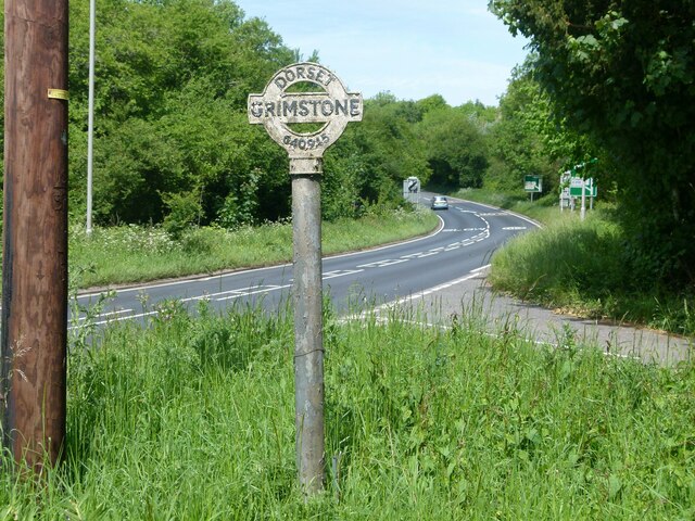
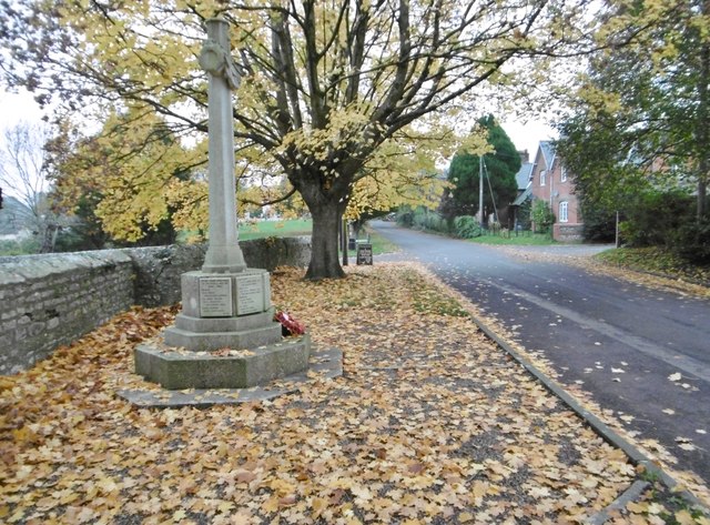
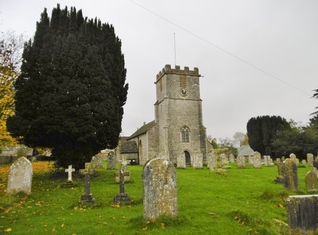
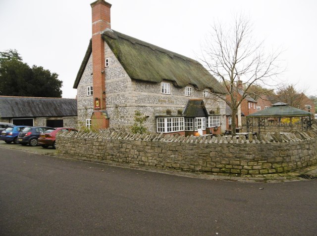
Stratton, Dorset
Stratton is a village and civil parish in Dorset, England, situated in the Frome valley about 3 miles (4.8 km) north-west of Dorchester. The parish includes...

Bradford Peverell & Stratton Halt
Bradford Peverell and Stratton Halt was a station on the Great Western Railway on what had originally been part of the Wiltshire, Somerset & Weymouth Railway...

Godmanstone
Godmanstone (or Godmanston) is a village and civil parish in the county of Dorset in southern England, situated approximately 4 miles (6.4 km) north of...

Herrison Hospital
Herrison Hospital was a mental health facility in Charminster, Dorset. == History == The hospital, which was designed by Henry Edward Kendall Jr. using...

Charlton Down
Charlton Down is a new village in Dorset, England, situated approximately 4 miles (6.4 km) north of the county town Dorchester. It lies within the civil...

Bradford Peverell
Bradford Peverell is a village and civil parish in the English county of Dorset, 2 miles (3.2 km) north-west of the county town Dorchester. It is sited...
Have you been to Stratton Down?
Leave your review of Stratton Down below (or comments, questions and feedback).