Agar's Wood

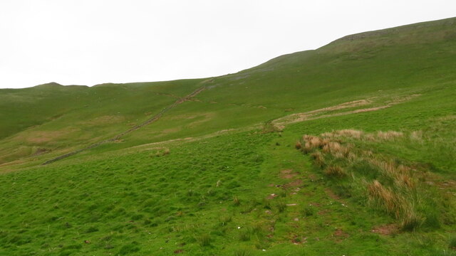
Downs, Moorland in Cumberland Eden

England

Agar's Wood

Heading NE on track at Little Awfell above Melmerby
Heading NE on track at Little Awfell above Melmerby Credit: Colin Park

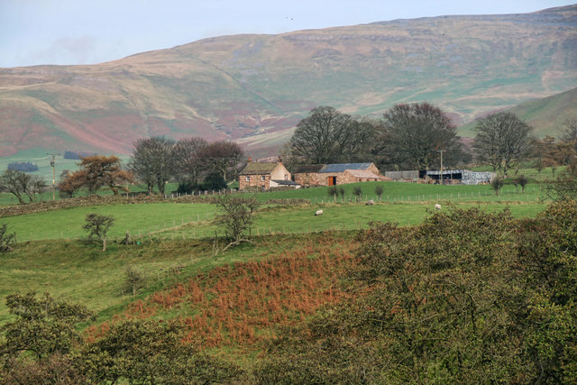
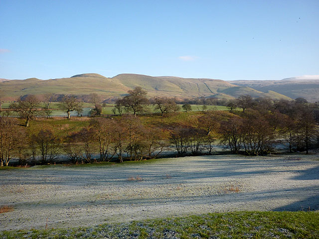
Agar's Wood, located in Cumberland, England, is a picturesque forest renowned for its natural beauty and captivating landscapes. Spread across the Downs and Moorland regions, it covers a vast area, making it a haven for nature lovers and outdoor enthusiasts.

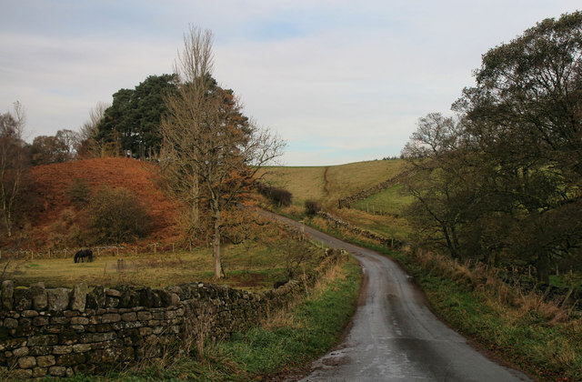
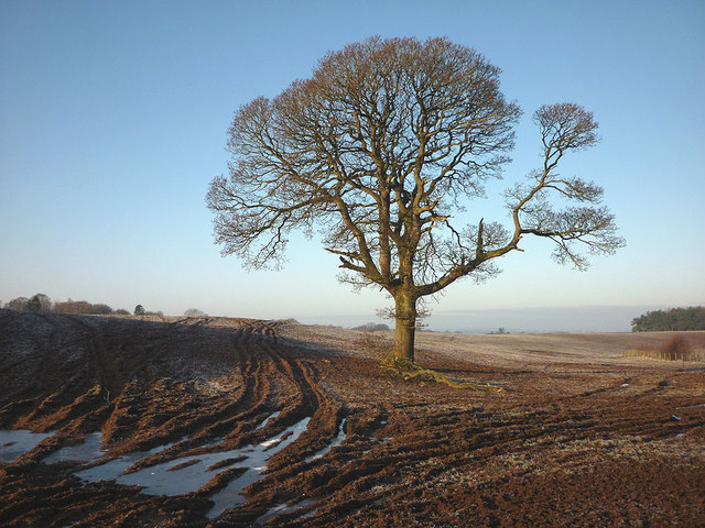
The wood boasts an impressive variety of tree species, including oak, beech, ash, and birch. These towering trees create a dense canopy that provides shade and shelter for an array of flora and fauna. Wildflowers such as bluebells, primroses, and foxgloves carpet the forest floor during the spring, adding a burst of color to the serene surroundings.

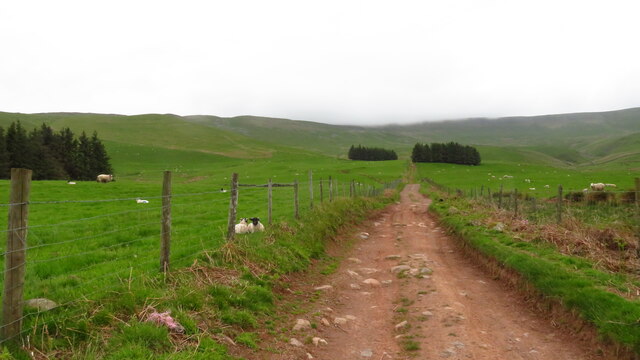
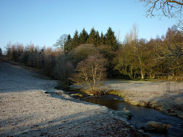
Numerous trails wind through Agar's Wood, offering visitors an opportunity to explore and immerse themselves in its enchanting ambiance. The pathways, well-maintained and signposted, cater to hikers of all levels, from leisurely strollers to avid adventurers. Along the trails, one can encounter tranquil streams, charming bridges, and occasional wildlife sightings, including deer, rabbits, and various bird species.

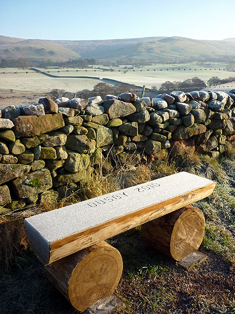
Agar's Wood is a popular destination for nature photography, as its breathtaking vistas and changing seasons provide ample opportunities to capture stunning shots. Additionally, the forest is a favored spot for picnics and family outings, with designated areas equipped with seating and facilities.

Maintained by local authorities, Agar's Wood offers a peaceful retreat from the hustle and bustle of daily life. Its natural beauty and tranquil atmosphere make it a cherished destination for both locals and tourists seeking solace in the heart of nature.

If you have any feedback on the listing, please let us know in the comments section below.
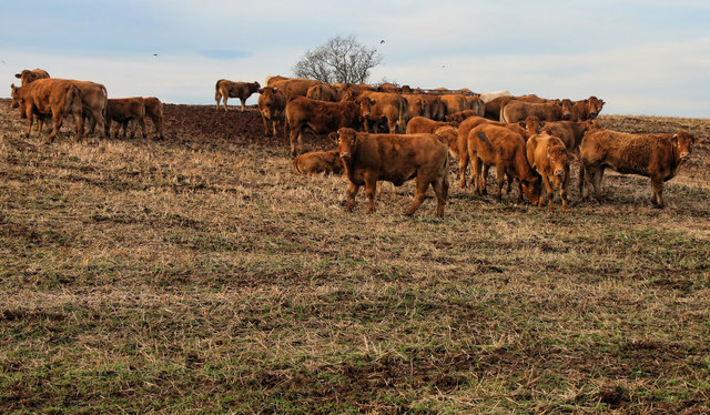
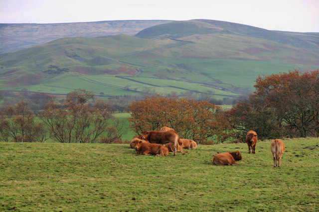
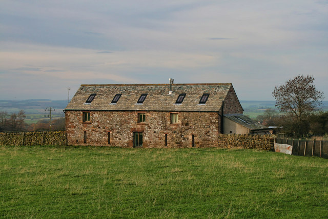
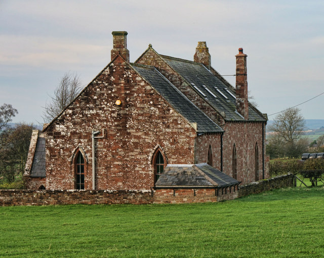
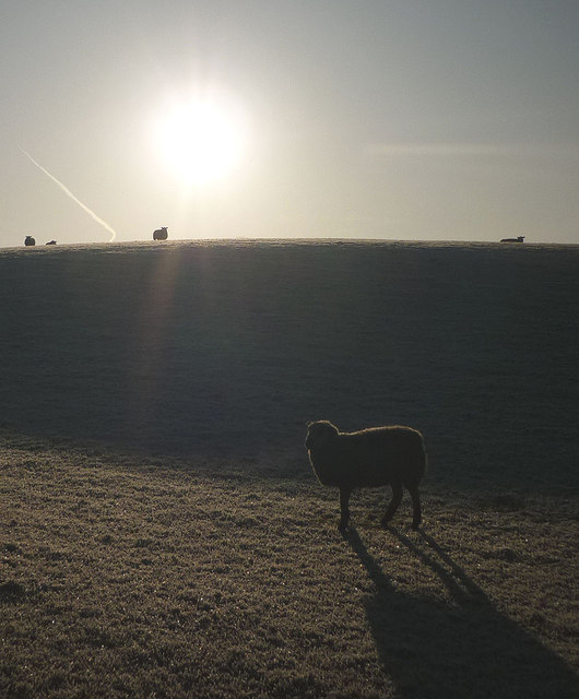
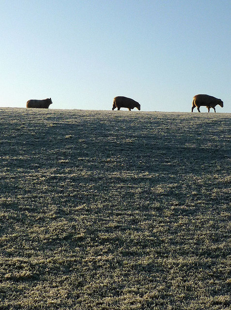
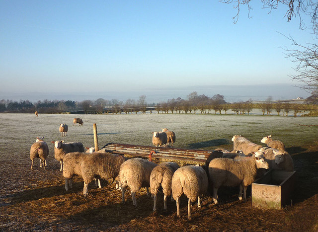
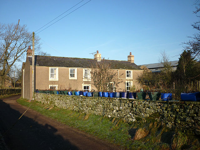
Agar's Wood Images

Images are sourced within 2km of 54.720846/-2.5688245 or Grid Reference NY6336. Thanks to Geograph Open Source API. All images are credited.

Heading NE on track at Little Awfell above Melmerby
Hill track ascending above Meikle Awfell above Melmerby
Old Boundary Marker north of Sunnygill Bridge Parish Boundary Marker at a wall corner on the east side of the road north of Sunnygill Bridge. Inscribed PARISH / OF / OUSBY and PARISH / OF / MELMERBY on adjacent faces. On the boundary of Ousby and Melmerby parishes. An eroded stone to the left could be an older marker.

Milestone Society National ID: CU_OUSMEL01pb
Old Boundary Marker north of Sunnygill Bridge
Parish Boundary Marker at a wall corner on the east side of the road north of Sunnygill Bridge. Inscribed PARISH / OF / OUSBY and PARISH / OF / MELMERBY on adjacent faces. On the boundary of Ousby and Melmerby parishes. An eroded stone to the left could be an older marker. Milestone Society National ID: CU_OUSMEL01pb
Sunnygill Bridge Sunnygill Bridge crossing Sunnygill Beck.
Sunnygill Bridge
Sunnygill Bridge crossing Sunnygill Beck.
Garrigill Bank Cows on land near Garrigill Bank.
Garrigill Bank
Cows on land near Garrigill Bank.
Ousby Cows in field above Sunnygill Beck near Ousby.
Ousby
Cows in field above Sunnygill Beck near Ousby.
Row Converted barn between Row and Townhead.
Row
Converted barn between Row and Townhead.
Ousby Converted Chapel at Ousby.
Ousby
Converted Chapel at Ousby.
Holly House Holly House Farm.
Holly House
Holly House Farm.
Tree in field near Holm Beck The rutted soil is now frozen solid.
Tree in field near Holm Beck
The rutted soil is now frozen solid.
Sunnygill Beck Looking downstream from Sunnygill Bridge (and sunny it is!).
Sunnygill Beck
Looking downstream from Sunnygill Bridge (and sunny it is!).
'Ousby 2010' wooden bench Not sure what Ousby got up to in 2010 but we saw a few more of these nearby. Looking towards the North Pennines.
'Ousby 2010' wooden bench
Not sure what Ousby got up to in 2010 but we saw a few more of these nearby. Looking towards the North Pennines.
Sheep on Castle Slack, Ousby A hard frost on the grass.
Sheep on Castle Slack, Ousby
A hard frost on the grass.
Sheep on Castle Slack, Ousby Not a lot to graze on when the grass is frost covered.
Sheep on Castle Slack, Ousby
Not a lot to graze on when the grass is frost covered.
Sheep feeder near Row, Ousby More popular than the grass on this sunny but frosty morning.
Sheep feeder near Row, Ousby
More popular than the grass on this sunny but frosty morning.
The Row at Row, Ousby And a row of blue (and green) plant holders!
The Row at Row, Ousby
And a row of blue (and green) plant holders!
A couple of shy cats at The Row Catching some rays on a frosty morning.
A couple of shy cats at The Row
Catching some rays on a frosty morning.
The valley of Ardale Beck Looking towards the North Pennine fells.
The valley of Ardale Beck
Looking towards the North Pennine fells.
Show me another place!

Agar's Wood is located at Grid Ref: NY6336 (Lat: 54.720846, Lng: -2.5688245)

Administrative County: Cumbria

District: Eden

Police Authority: Cumbria

What 3 Words

///reserve.oldest.enrolling. Near Alston, Cumbria

Related Wikis

Nearby Amenities

Located within 500m of 54.720846,-2.5688245
Catterpallot Hill
Ele: 380.1
Man Made: survey_point
Natural: peak
Source: NPE
Lat/Long: 54.7209559/-2.562999
The data included in this document is from www.openstreetmap.org. The data is made available under ODbL.

Have you been to Agar's Wood?

Leave your review of Agar's Wood below (or comments, questions and feedback).