Catterpallot Hill

Hill, Mountain in Cumberland Eden

England

Catterpallot Hill

Shepherd's hut showing the fire grate and well-constructed chimney into the stonework marked as a sheepfold on map Second wild camp close to the hut. This time I spent a few hours repairing one wall as it's just too good and remote to let it go to ruin.
Shepherd's hut showing the fire grate and well-constructed chimney into the stonework marked as a sheepfold on map Credit: brian mccaffery

Catterpallot Hill, located in the county of Cumberland in northwest England, is a prominent hill that forms part of the stunning Lake District National Park. Standing at an elevation of approximately 1,829 feet (557 meters), it is often referred to as Catterpallot Fell or simply Catterpallot.

The hill is situated near the village of Mungrisdale and lies within close proximity to the popular Blencathra Mountain. It is characterized by its distinctive conical shape, with steep slopes covered in heather and grasses, offering breathtaking panoramic views of the surrounding landscape.

Catterpallot Hill is a popular destination for hikers, walkers, and nature enthusiasts. There are several well-marked trails that lead to the summit, providing visitors with a variety of options to choose from based on their skill level and preferences. The ascent can be challenging, particularly in inclement weather, but the rewarding views from the top make it well worth the effort.

The hill is home to a diverse range of flora and fauna, including various species of wildflowers, birds, and small mammals. It is also known for its geological significance, with rock formations dating back millions of years.

Catterpallot Hill offers a peaceful and tranquil setting, away from the bustling cities, making it an ideal location for those seeking a respite in nature. Whether it is for a leisurely stroll or a more adventurous hike, Catterpallot Hill promises an unforgettable experience for all who visit.

If you have any feedback on the listing, please let us know in the comments section below.

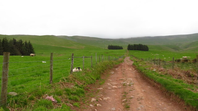
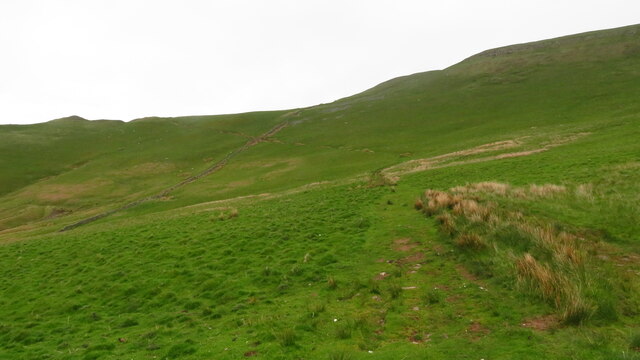
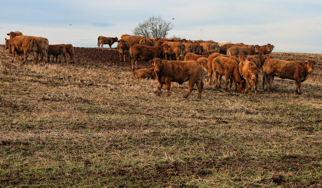
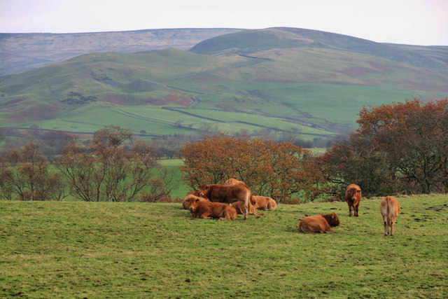
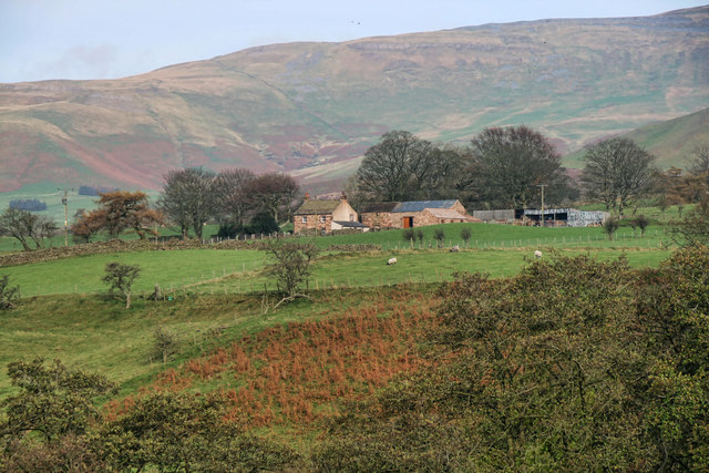
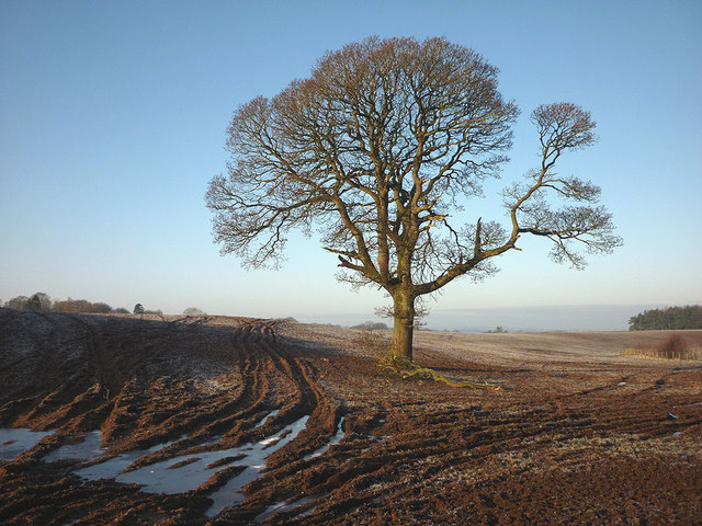
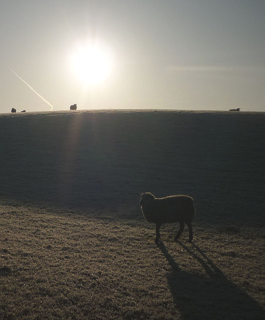
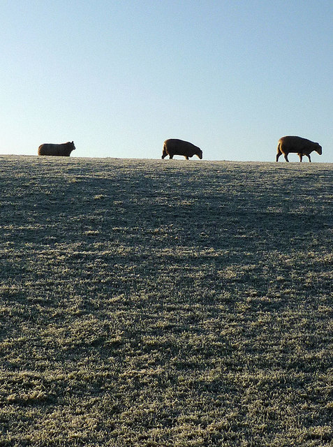
Catterpallot Hill Images

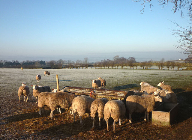
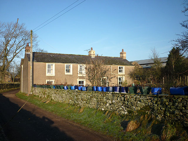
Images are sourced within 2km of 54.721143/-2.5629603 or Grid Reference NY6336. Thanks to Geograph Open Source API. All images are credited.

Shepherd's hut showing the fire grate and well-constructed chimney into the stonework marked as a sheepfold on map Second wild camp close to the hut. This time I spent a few hours repairing one wall as it's just too good and remote to let it go to ruin.
Shepherd's hut showing the fire grate and well-constructed chimney into the stonework marked as a sheepfold on map
Second wild camp close to the hut. This time I spent a few hours repairing one wall as it's just too good and remote to let it go to ruin.
Shepherd's hut marked on map as a sheepfold Few hours' repairing one side. Probably constructed purely for an overnight stay to escape the harsh elements, complete with a fireplace/metal grate and  chimney. Roof was constructed out of a tree trunk for the joist and branches for the purlins, then corrugated sheeting covered it.
Shepherd's hut marked on map as a sheepfold
Few hours' repairing one side. Probably constructed purely for an overnight stay to escape the harsh elements, complete with a fireplace/metal grate and chimney. Roof was constructed out of a tree trunk for the joist and branches for the purlins, then corrugated sheeting covered it.
Shepherd's hut. Spent an hour rebuilding another section.
Shepherd's hut.
Spent an hour rebuilding another section.
Heading NE on track at Little Awfell above Melmerby
Hill track ascending above Meikle Awfell above Melmerby
Maiden Way (Roman Road) leading up to Meg's Cairn on Melmerby Fell
Garrigill Bank Cows on land near Garrigill Bank.
Garrigill Bank
Cows on land near Garrigill Bank.
Ousby Cows in field above Sunnygill Beck near Ousby.
Ousby
Cows in field above Sunnygill Beck near Ousby.
Holly House Holly House Farm.
Holly House
Holly House Farm.
Tree in field near Holm Beck The rutted soil is now frozen solid.
Tree in field near Holm Beck
The rutted soil is now frozen solid.
Sheep on Castle Slack, Ousby A hard frost on the grass.
Sheep on Castle Slack, Ousby
A hard frost on the grass.
Sheep on Castle Slack, Ousby Not a lot to graze on when the grass is frost covered.
Sheep on Castle Slack, Ousby
Not a lot to graze on when the grass is frost covered.
Sheep feeder near Row, Ousby More popular than the grass on this sunny but frosty morning.
Sheep feeder near Row, Ousby
More popular than the grass on this sunny but frosty morning.
The Row at Row, Ousby And a row of blue (and green) plant holders!
The Row at Row, Ousby
And a row of blue (and green) plant holders!
A couple of shy cats at The Row Catching some rays on a frosty morning.
A couple of shy cats at The Row
Catching some rays on a frosty morning.
Rusby Hill (352m) A minor top on the west flank of the North Pennines above Ousby.
Rusby Hill (352m)
A minor top on the west flank of the North Pennines above Ousby.
Ruined lime kiln and sheep by the Maiden Way After a steep haul out of the valley the track levels off where there are signs of limestone quarrying. The flat top of Cross Fell visible beyond.
Ruined lime kiln and sheep by the Maiden Way
After a steep haul out of the valley the track levels off where there are signs of limestone quarrying. The flat top of Cross Fell visible beyond.
Muska Hill (536m) from the Maiden Way The next bump down is Sharp Shears (487m) with the northern fells of the Lake District across the misty Eden Valley beyond.
Muska Hill (536m) from the Maiden Way
The next bump down is Sharp Shears (487m) with the northern fells of the Lake District across the misty Eden Valley beyond.
Show me another place!

Catterpallot Hill is located at Grid Ref: NY6336 (Lat: 54.721143, Lng: -2.5629603)

Administrative County: Cumbria

District: Eden

Police Authority: Cumbria

What 3 Words

///loved.hiked.balconies. Near Alston, Cumbria

Related Wikis

Nearby Amenities

Located within 500m of 54.721143,-2.5629603
Catterpallot Hill
Ele: 380.1
Man Made: survey_point
Natural: peak
Source: NPE
Lat/Long: 54.7209559/-2.562999
The data included in this document is from www.openstreetmap.org. The data is made available under ODbL.

Have you been to Catterpallot Hill?

Leave your review of Catterpallot Hill below (or comments, questions and feedback).