Durlow Common

Downs, Moorland in Herefordshire

England

Durlow Common

Lane through Park Coppice
Lane through Park Coppice Credit: Julian P Guffogg

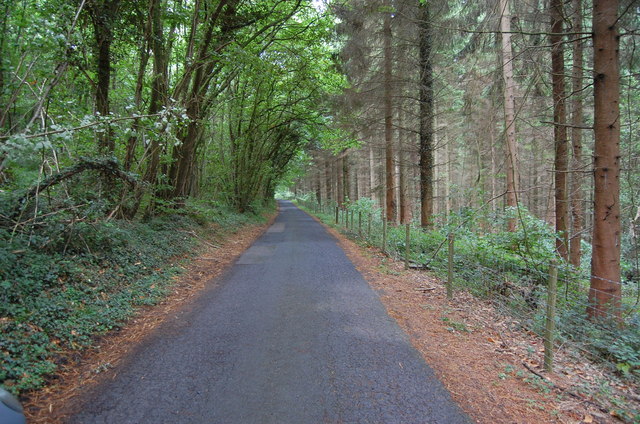
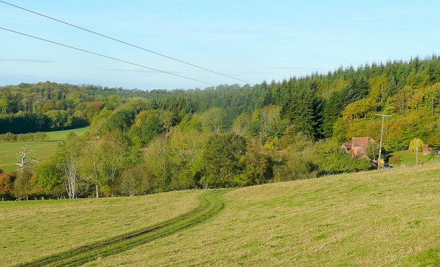
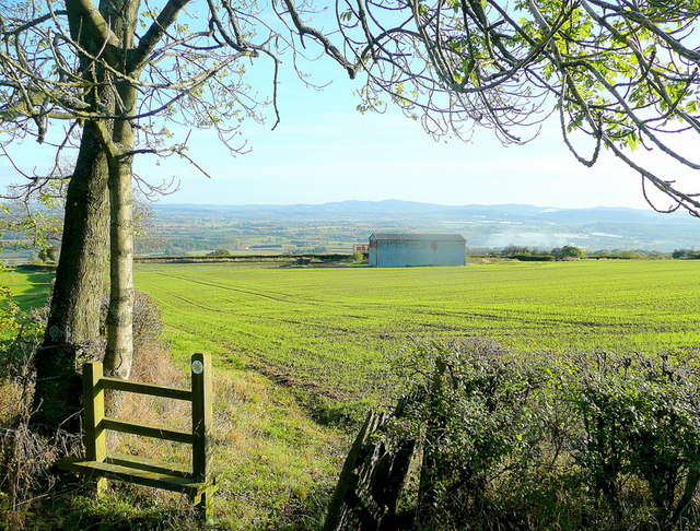
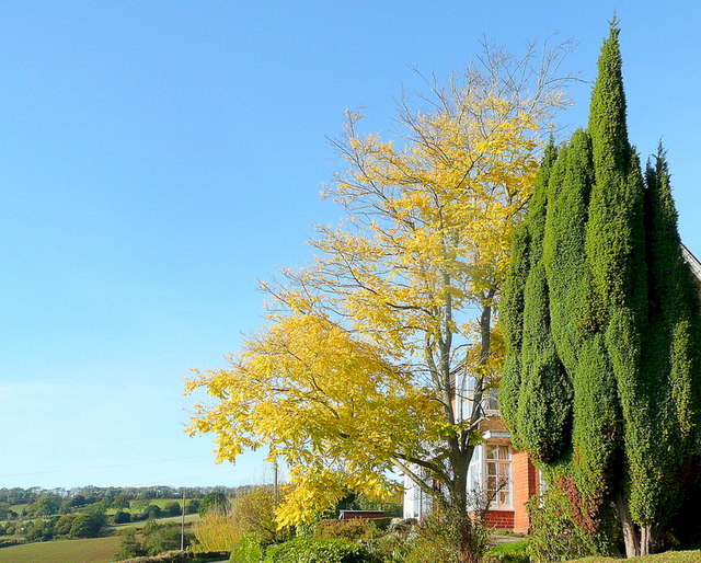
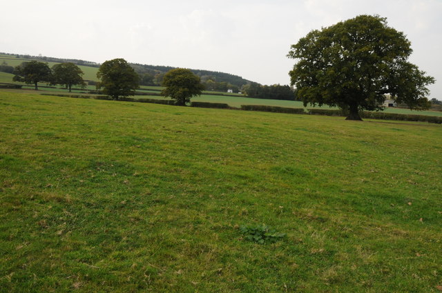
Durlow Common is a picturesque area located in Herefordshire, England. Situated on the downs, the common features vast expanses of moorland, offering breathtaking views and a tranquil ambiance. The site covers an extensive area, providing ample space for outdoor activities and exploration.

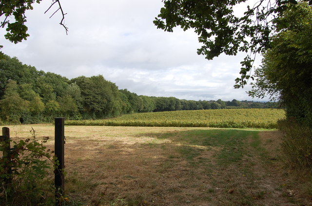
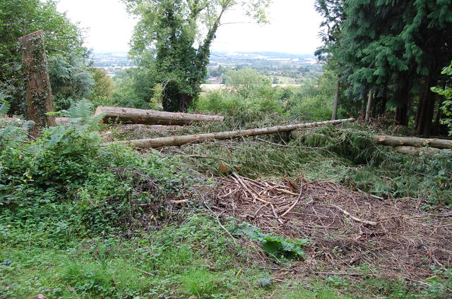
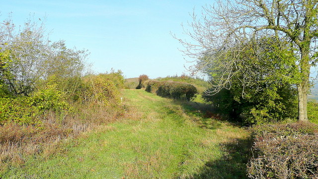
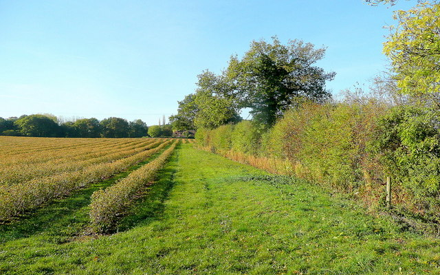
The common is characterized by its undulating landscape, with rolling hills and open grasslands. It is home to a diverse range of plant and animal species, making it a haven for nature enthusiasts and wildlife lovers. Visitors can expect to encounter various species of birds, including skylarks, kestrels, and buzzards, soaring above the common. The rich and diverse flora includes heather, gorse, and wildflowers, adding vibrant colors to the landscape.

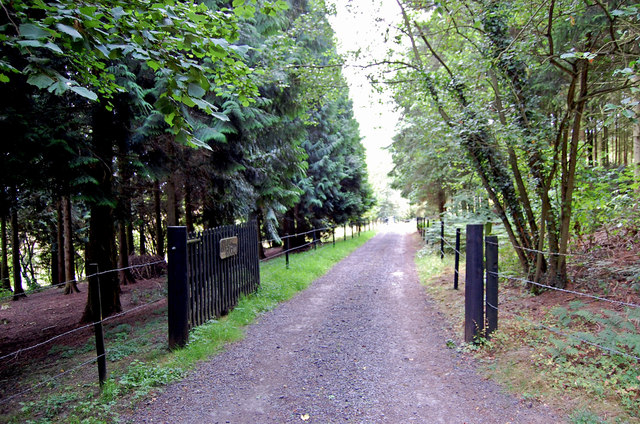
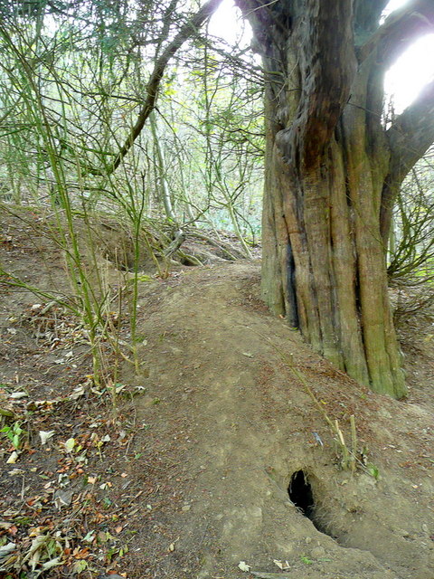
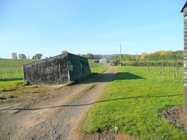
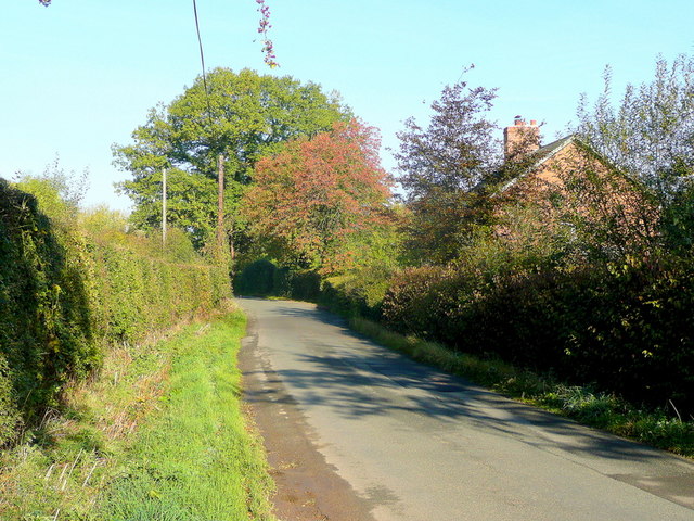
The area is crisscrossed by footpaths and bridleways, making it ideal for walking, hiking, and horseback riding. These paths offer access to some of the most stunning viewpoints, allowing visitors to appreciate the sweeping panoramas of the surrounding countryside.

Durlow Common is also steeped in history and folklore. It has connections to ancient settlements and prehistoric remains, adding an intriguing element to the area. The site has been well-preserved, offering visitors a glimpse into the region's past.

Overall, Durlow Common in Herefordshire is a captivating destination for those seeking natural beauty, tranquility, and a chance to connect with the rich history of the area. Whether exploring the moorland, observing wildlife, or simply enjoying the peaceful surroundings, visitors are guaranteed an unforgettable experience in this scenic location.

If you have any feedback on the listing, please let us know in the comments section below.

Durlow Common Images

Images are sourced within 2km of 52.049354/-2.5346247 or Grid Reference SO6339. Thanks to Geograph Open Source API. All images are credited.

Lane through Park Coppice
Land near Birchall
Land near Birchall
Driveway to Hill Farm
Felled Trees near Tarrington Common
Cottage at Putley Common Compare with <a href="https://www.geograph.org.uk/photo/55999">SO6338 : Cottage at Putley Common</a>
Cottage at Putley Common
Park Coppice Looking west on a fine autumn morning.
Park Coppice
Looking west on a fine autumn morning.
Badger sett, Jones's Coppice Next to a yew tree by the steep public path near the northern edge of the gridsquare.
Badger sett, Jones's Coppice
Next to a yew tree by the steep public path near the northern edge of the gridsquare.
Path to Hazel Court Looking north-east towards the Malvern Hills in the blue distance.
Path to Hazel Court
Looking north-east towards the Malvern Hills in the blue distance.
Green Lane This apparently ancient lane follows the crest of Seager Hill.
Green Lane
This apparently ancient lane follows the crest of Seager Hill.
Autumn colour A laburnum and conifer by The Fosbury against a clear October sky.
Autumn colour
A laburnum and conifer by The Fosbury against a clear October sky.
That should read Pool End Someone has had fun scraping the 'L' off this country sign.
That should read Pool End
Someone has had fun scraping the 'L' off this country sign.
Fruit growing at Birchall The predominant crop here is cider apples.
Fruit growing at Birchall
The predominant crop here is cider apples.
Lane at Birchall Looking north towards Poolend.
Lane at Birchall
Looking north towards Poolend.
Fruit crop by Birchall Lane The rows are of blackcurrants, probably for processing.
Fruit crop by Birchall Lane
The rows are of blackcurrants, probably for processing.
Cottage at Durlow Common Cottage at Durlow Common viewed from a footpath from Putley.
Cottage at Durlow Common
Cottage at Durlow Common viewed from a footpath from Putley.
Farmland near Alder's End Farmland near Alder's End above the village of Tarrington.
Farmland near Alder's End
Farmland near Alder's End above the village of Tarrington.
Fruit trees near Putley Green Not sure what these trees fruit are?
Fruit trees near Putley Green
Not sure what these trees fruit are?
Mains Wood, Putley Gates into Mains Wood in Putley.
Mains Wood, Putley
Gates into Mains Wood in Putley.
Show me another place!

Durlow Common is located at Grid Ref: SO6339 (Lat: 52.049354, Lng: -2.5346247)

Unitary Authority: County of Herefordshire

Police Authority: West Mercia

What 3 Words

///stereos.theory.pockets. Near Ledbury, Herefordshire

Related Wikis

Alder's End

Alder's End is a small village in Herefordshire, England. It is about 8 miles (13 km) east of Hereford and is near the A438 road. The village falls within...

Putley

Putley is a village and civil parish 8 miles (13 km) east of Hereford, in the county of Herefordshire, England. In 2011 the parish had a population of...

Ashperton railway station

Ashperton railway station was a railway station serving the village of Ashperton in Herefordshire, England. It was located on what is now known as the...

Tarrington

Tarrington is a small village in Herefordshire, England located halfway between Ledbury and Hereford on the A438 road. == The village == The village has...

Trumpet, Herefordshire

Trumpet or The Trumpet is a village in Herefordshire, England. The village is named after the timber-framed Trumpet Inn. The inn is located at a major...

Ashperton

Ashperton is a small village, parish and former manor about twelve miles east of the City of Hereford, in Herefordshire, England. The village is on the...

Pixley, Herefordshire

Pixley is a village and civil parish in Herefordshire, England. The population of the civil parish at the 2011 census was 258. The village consists of...

Aylton

Aylton is a village in eastern Herefordshire, England. It is 5.5 km (3.4 mi) west of Ledbury. The population of this parish at the 2011 Census was 144...

Nearby Amenities

Located within 500m of 52.049354,-2.5346247
Barrier: stile
Lat/Long: 52.0486511/-2.5383822
Durlow Common
Place: hamlet
Lat/Long: 52.0503945/-2.5389811
Location Transition: yes
Power: pole
Lat/Long: 52.0485573/-2.53857
Power: pole
Lat/Long: 52.0486918/-2.5375776
Power: pole
Lat/Long: 52.0488254/-2.5366603
Power: pole
Lat/Long: 52.049279/-2.5364015
Darlow Common Chapel
Power: pole
Transformer: distribution
Voltage Primary: 11000
Lat/Long: 52.0499009/-2.5394753
Power: pole
Lat/Long: 52.0501252/-2.538338
Darlow Common
Power: pole
Transformer: distribution
Voltage Primary: 11000
Lat/Long: 52.0499751/-2.5374515
Power: pole
Lat/Long: 52.0498918/-2.5370036
Power: pole
Lat/Long: 52.0497334/-2.5361399
Power: pole
Lat/Long: 52.0500147/-2.5359763
Darlow Barn
Power: pole
Transformer: distribution
Voltage Primary: 11000
Lat/Long: 52.0506192/-2.535641
Power: pole
Lat/Long: 52.0512889/-2.535236
Power: pole
Lat/Long: 52.051961/-2.5348444
Darlow Common North
Power: pole
Transformer: distribution
Voltage Primary: 11000
Lat/Long: 52.0529078/-2.5356786
Power: pole
Lat/Long: 52.0526323/-2.5344542
Power: pole
Lat/Long: 52.0530438/-2.5342168
Power: pole
Lat/Long: 52.0534413/-2.5339928
Power: pole
Lat/Long: 52.0530372/-2.5326785
Power: pole
Lat/Long: 52.0526142/-2.5312871
Power: pole
Lat/Long: 52.0521845/-2.5298897
Power: pole
Lat/Long: 52.0518876/-2.5286271
The data included in this document is from www.openstreetmap.org. The data is made available under ODbL.

Have you been to Durlow Common?

Leave your review of Durlow Common below (or comments, questions and feedback).