Corskie Bridge

Downs, Moorland in Banffshire

Scotland

Corskie Bridge

New Marnoch Church, Aberchirder Built in 1841 as a 'non intrusion church' to accommodate the congregation of Marnoch Kirk some 3 km to the southwest, who had 'come out' of that church because they refused to accept the appointment of a new minister by the heritors (land owners) against their wishes.  New Marnoch joined with the Free Church after the Disruption in 1843.  It is now the Aberchirder (Church of Scotland) Parish Church.
New Marnoch Church, Aberchirder Credit: Bill Harrison

Corskie Bridge is a picturesque stone bridge located in Banffshire, Scotland. Situated in the charming countryside, the bridge spans over the Corskie Burn, a small river that flows through the area. With its tranquil surroundings and natural beauty, Corskie Bridge is a popular spot for nature enthusiasts, hikers, and photographers.

The bridge itself is an impressive structure, constructed with durable stone and boasting a classic arch design. It provides a vital connection between two areas, allowing pedestrians and vehicles to cross the Corskie Burn safely. Although the exact date of its construction is unknown, the bridge is believed to have been built in the 19th century.

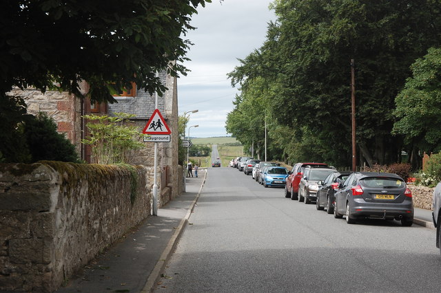
Corskie Bridge is surrounded by picturesque downs and moorland, offering visitors breathtaking views of the Scottish countryside. The area is rich in biodiversity, with a diverse range of plant and animal species calling it home. Visitors can expect to see heather-covered hills, scattered wildflowers, and perhaps even some grazing sheep or Highland cattle.

The bridge is easily accessible, with a nearby parking area and a well-maintained footpath leading to it. Many visitors take advantage of the peaceful setting to enjoy a leisurely stroll or a picnic by the riverbank. The sound of flowing water and the gentle rustling of leaves create a serene atmosphere, perfect for relaxation and contemplation.

Corskie Bridge in Banffshire is a hidden gem, offering a wonderful escape from the hustle and bustle of everyday life. Whether it's for a peaceful walk, a scenic photography session, or simply to enjoy the beauty of nature, this charming bridge never fails to captivate visitors with its timeless charm.

If you have any feedback on the listing, please let us know in the comments section below.

Corskie Bridge Images

Images are sourced within 2km of 57.57168/-2.6131801 or Grid Reference NJ6353. Thanks to Geograph Open Source API. All images are credited.
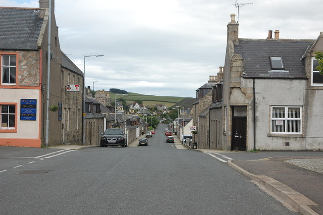
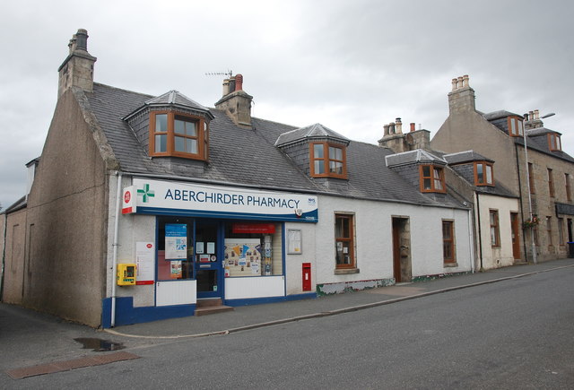
New Marnoch Church, Aberchirder Built in 1841 as a 'non intrusion church' to accommodate the congregation of Marnoch Kirk some 3 km to the southwest, who had 'come out' of that church because they refused to accept the appointment of a new minister by the heritors (land owners) against their wishes.  New Marnoch joined with the Free Church after the Disruption in 1843.  It is now the Aberchirder (Church of Scotland) Parish Church.
New Marnoch Church, Aberchirder
Built in 1841 as a 'non intrusion church' to accommodate the congregation of Marnoch Kirk some 3 km to the southwest, who had 'come out' of that church because they refused to accept the appointment of a new minister by the heritors (land owners) against their wishes. New Marnoch joined with the Free Church after the Disruption in 1843. It is now the Aberchirder (Church of Scotland) Parish Church.
Aberchirder Bowling Club The extensive clubhouse, as seen from Main Street.
Aberchirder Bowling Club
The extensive clubhouse, as seen from Main Street.
Aberchirder Primary School Built ca. 1970s and replacing the old school a few hundred metres to the south (now a carpet warehouse).
Aberchirder Primary School
Built ca. 1970s and replacing the old school a few hundred metres to the south (now a carpet warehouse).
Aberchirder side street Junction of North Street (the B9023) and Moss Road.  Note the traffic calming chicane and typical single-storey cottages.
Aberchirder side street
Junction of North Street (the B9023) and Moss Road. Note the traffic calming chicane and typical single-storey cottages.
Main Street, Aberchirder (view from the Square)
Aberchirder war memorial Dating from ca. 1920 and adjacent to what was at that time the Free Church rather than the established church, which only had a mission hall in the village.
Aberchirder war memorial
Dating from ca. 1920 and adjacent to what was at that time the Free Church rather than the established church, which only had a mission hall in the village.
The Fife Arms, Aberchirder At the east end of the village Square.
The Fife Arms, Aberchirder
At the east end of the village Square.
The Square, Aberchirder A nice civic space in the centre of the village, but a parking free-for-all...   Note the unusual clock in the façade of the building to the left centre (now a Chinese restaurant with flats above).
The Square, Aberchirder
A nice civic space in the centre of the village, but a parking free-for-all... Note the unusual clock in the façade of the building to the left centre (now a Chinese restaurant with flats above).
Aberchirder pharmacy and post office The village has most facilities, with the notable exception of a bank.
Aberchirder pharmacy and post office
The village has most facilities, with the notable exception of a bank.
The auld bank, Aberchirder The North of Scotland bank with agent's house next door opened in 1838 and is B-listed: <span class="nowrap"><a title="http://portal.historicenvironment.scot/designation/LB19913" rel="nofollow ugc noopener" href="http://portal.historicenvironment.scot/designation/LB19913">Link</a><img style="margin-left:2px;" alt="External link" title="External link - shift click to open in new window" src="https://s1.geograph.org.uk/img/external.png" width="10" height="10"/></span> .  It went through various name changes and became the Clydesdale around 1963.  More recently, Clydesdale have been especially ruthless in closing rural branches in Scotland and villagers now have to travel to Banff (12 km) or Huntly (15 km) to conduct business.
The auld bank, Aberchirder
The North of Scotland bank with agent's house next door opened in 1838 and is B-listed: LinkExternal link . It went through various name changes and became the Clydesdale around 1963. More recently, Clydesdale have been especially ruthless in closing rural branches in Scotland and villagers now have to travel to Banff (12 km) or Huntly (15 km) to conduct business.
Main Street, Aberchirder The scene west of the Square.  Note the independent petrol station to the right and the derelict house opposite.
Main Street, Aberchirder
The scene west of the Square. Note the independent petrol station to the right and the derelict house opposite.
Former United Presbyterian Church, Cornhill Road, Aberchirder Dating from ca. 1890, it became redundant as soon as 1900 when the UPs and the Frees merged.  It was later a petrol station and then fell into dereliction, but it now (July 2017) being renovated, presumably as housing.
Former United Presbyterian Church, Cornhill Road, Aberchirder
Dating from ca. 1890, it became redundant as soon as 1900 when the UPs and the Frees merged. It was later a petrol station and then fell into dereliction, but it now (July 2017) being renovated, presumably as housing.
Road out of the village. The B9023 is dead straight for a couple of kilometres and eventually meets up with the A95 at Cornhill.
Road out of the village.
The B9023 is dead straight for a couple of kilometres and eventually meets up with the A95 at Cornhill.
Terraced cottages, North Street, Aberchirder
Main Street, Aberchirder Aberchirder is the only significant settlement on the road (the A97) between Banff and Huntly. It is a fine example of an 18th Century Scottish planned (or improvement) village built on a rational grid pattern (compare Strichen and New Pitsligo). It was established by Alexander Gordon in 1764, to provide some stimulus to help the area recover from the economic devastation of the Forty-Five.  The three main streets [North Street, Main Street (pictured) and South Street] run roughly east-west and are dead straight but certainly not level.
Main Street, Aberchirder
Aberchirder is the only significant settlement on the road (the A97) between Banff and Huntly. It is a fine example of an 18th Century Scottish planned (or improvement) village built on a rational grid pattern (compare Strichen and New Pitsligo). It was established by Alexander Gordon in 1764, to provide some stimulus to help the area recover from the economic devastation of the Forty-Five. The three main streets [North Street, Main Street (pictured) and South Street] run roughly east-west and are dead straight but certainly not level.
St Marnan's Episcopal Church, Aberchirder Dating from ca. 1826 and the first church in the village (B-listed: <span class="nowrap"><a title="http://portal.historicenvironment.scot/designation/LB19922" rel="nofollow ugc noopener" href="http://portal.historicenvironment.scot/designation/LB19922">Link</a><img style="margin-left:2px;" alt="External link" title="External link - shift click to open in new window" src="https://s1.geograph.org.uk/img/external.png" width="10" height="10"/></span> ).  At this time the established church was still about 3 km to the southwest at Marnoch.  Despite lying on the highest site in the village, it is now a rather dank and dismal location due to excessive tree growth.  St Marnan is believed to have been a  missionary active in northern Britain in the 7th Century and reputedly died in the vicinity of Aberchirder.
St Marnan's Episcopal Church, Aberchirder
Dating from ca. 1826 and the first church in the village (B-listed: LinkExternal link ). At this time the established church was still about 3 km to the southwest at Marnoch. Despite lying on the highest site in the village, it is now a rather dank and dismal location due to excessive tree growth. St Marnan is believed to have been a missionary active in northern Britain in the 7th Century and reputedly died in the vicinity of Aberchirder.
Former Episcopal Church School, Aberchirder Built 1877, closed ca. 1940, now the church and community hall.
Former Episcopal Church School, Aberchirder
Built 1877, closed ca. 1940, now the church and community hall.
Victoria Fountain, the Square, Aberchirder Fine polished granite and apparently sill functional.  The dedication reads: "This fountain was erected by Wm. Achinachie Esq. J.P. Provost of Aberchirder from 1889 to 1907". It was presented to the burgh to celebrate Queen Victoria's diamond jubilee in 1897.
Victoria Fountain, the Square, Aberchirder
Fine polished granite and apparently sill functional. The dedication reads: "This fountain was erected by Wm. Achinachie Esq. J.P. Provost of Aberchirder from 1889 to 1907". It was presented to the burgh to celebrate Queen Victoria's diamond jubilee in 1897.
Show me another place!

Corskie Bridge is located at Grid Ref: NJ6353 (Lat: 57.57168, Lng: -2.6131801)

Unitary Authority: Aberdeenshire

Police Authority: North East

What 3 Words

///functions.outgoing.thinks. Near Aberchirder, Aberdeenshire

Nearby Locations

Corskie Bridge

Related Wikis

Aberchirder

Aberchirder (Scots: Fogieloan, Scottish Gaelic: Obar Chiardair) known locally as Foggieloan or Foggie, is a village in Aberdeenshire, Scotland, situated...

Bogton

Bogton is a rural area in Aberdeenshire, Scotland. To the south is Whitehill Wood and megalithic circle. == References ==

Whitehill Wood, Aberdeenshire

Whitehill Wood is a wood and megalithic stone circle in Aberdeenshire, Scotland, located off the B9025 road between Aberchirder and Turriff and between...

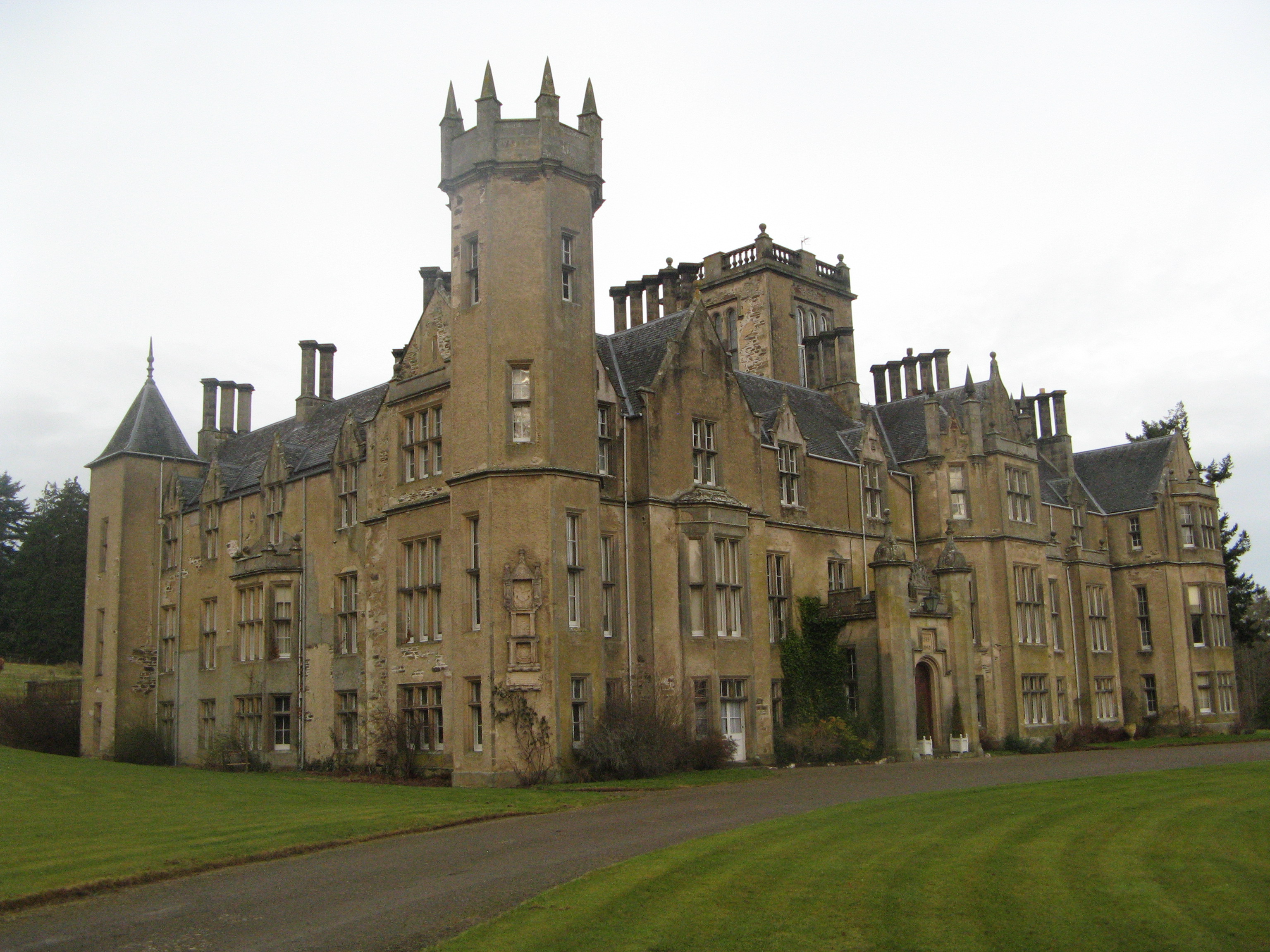
Castle of Park (Aberdeenshire)

Park or Castle of Park, is an A-listed rambling baronial mansion incorporating a 16th-century tower house. It is 4 miles (6.4 km) north-west of Aberchirder...

Inverkeithny

Inverkeithny is a village in the Formartine area of Aberdeenshire, Scotland. The village lies near where the Burn of Forgue flows into the River Deveron...

Forglen House

Forglen House is a mansion house that forms the centrepiece of the Forglen estate in the parish of Forglen, north-west of Turriff, Aberdeenshire, in the...

Cornhill, Aberdeenshire

Cornhill (Scottish Gaelic: Cnoc an Arbhair) is a small village close to Banff, Aberdeenshire, Scotland. It lies 5 miles (8.0 km) to the south of Portsoy...
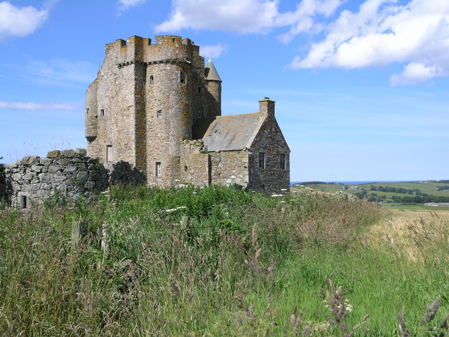
Inchdrewer Castle

Inchdrewer Castle is a 16th-century tower house in the parish of Banff, Aberdeenshire, in the north-east of Scotland. Situated on a slight rise 3.5 miles...

Have you been to Corskie Bridge?

Leave your review of Corskie Bridge below (or comments, questions and feedback).