Whitefold Moss
Downs, Moorland in Westmorland Eden
England
Whitefold Moss

Whitefold Moss is a picturesque area located in the county of Westmorland, England. Situated amidst the stunning landscape of the Downs and Moorland, this region offers visitors a unique blend of natural beauty and tranquility.
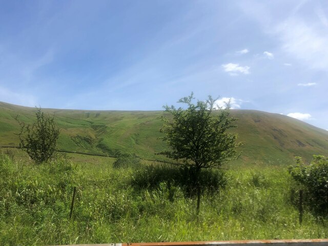
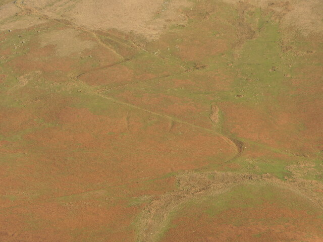
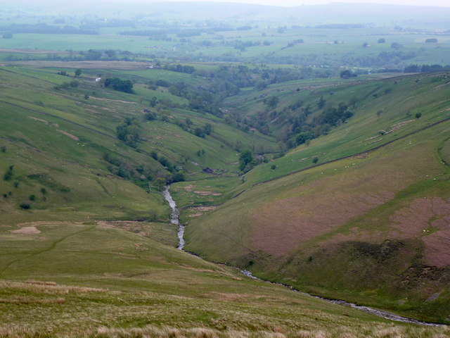
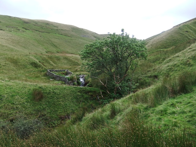
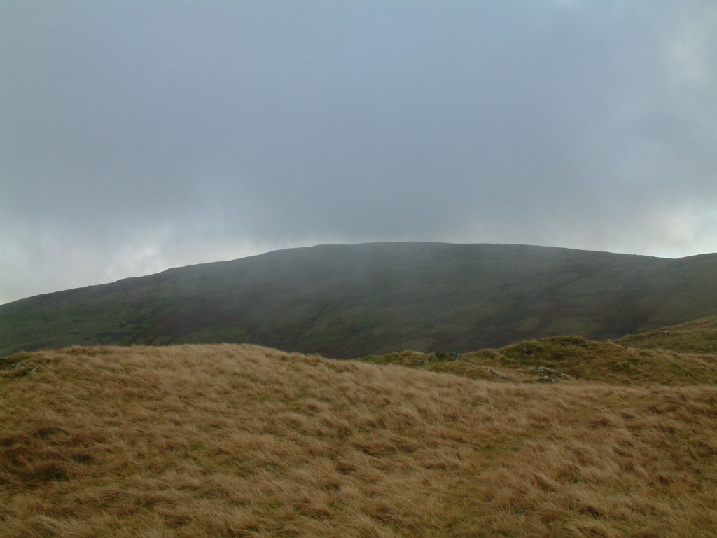
The moss itself is a sprawling wetland characterized by its lush vegetation and diverse wildlife. It is home to a variety of plant species, including reeds, rushes, and mosses, which thrive in the damp conditions. The wetland also provides a vital habitat for various bird species, such as curlews, lapwings, and snipes, making it a haven for birdwatchers and nature enthusiasts.
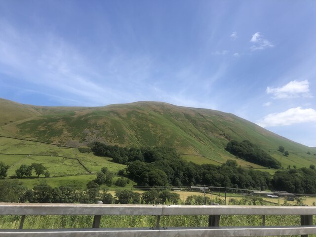
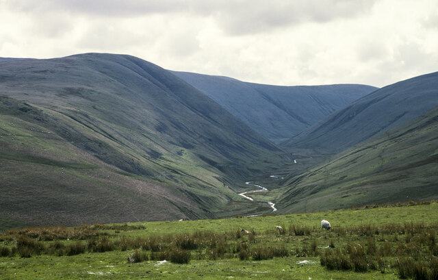
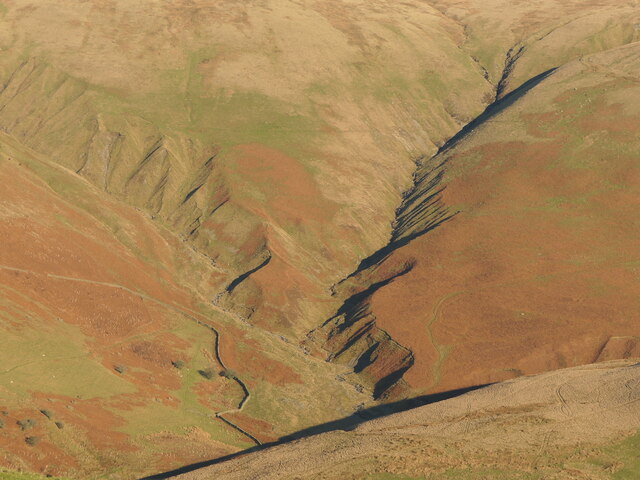
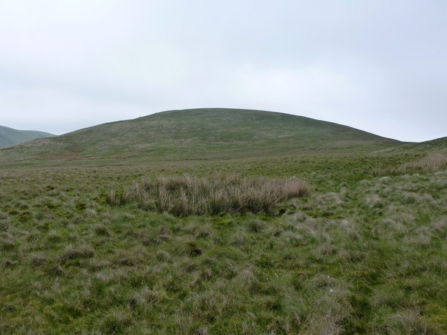
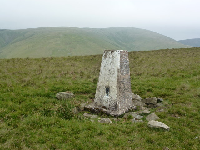
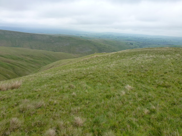
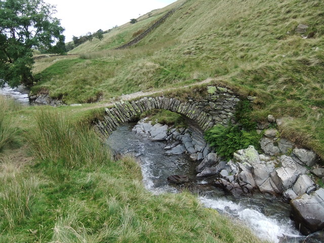
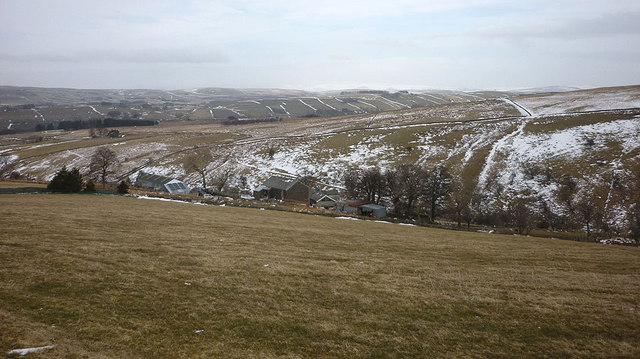
The surrounding area of Whitefold Moss boasts rolling hills and open moorland, adding to its scenic allure. This rugged terrain is interspersed with dry stone walls and grazing livestock, creating a quintessentially English countryside atmosphere. The moorland is also dotted with ancient archaeological sites, including burial mounds and stone circles, providing a glimpse into the region's rich history.
Visitors to Whitefold Moss can enjoy a range of outdoor activities, including walking, hiking, and cycling. The area is crisscrossed with well-maintained footpaths and trails, allowing visitors to explore the natural beauty at their own pace. Additionally, the nearby villages offer charming cafes and traditional pubs, where visitors can relax and sample local cuisine.
Overall, Whitefold Moss in Westmorland is a captivating destination that showcases the beauty of the English countryside. With its wetland ecosystem, stunning moorland, and rich history, it offers visitors a chance to immerse themselves in nature and experience the timeless charm of rural England.
If you have any feedback on the listing, please let us know in the comments section below.
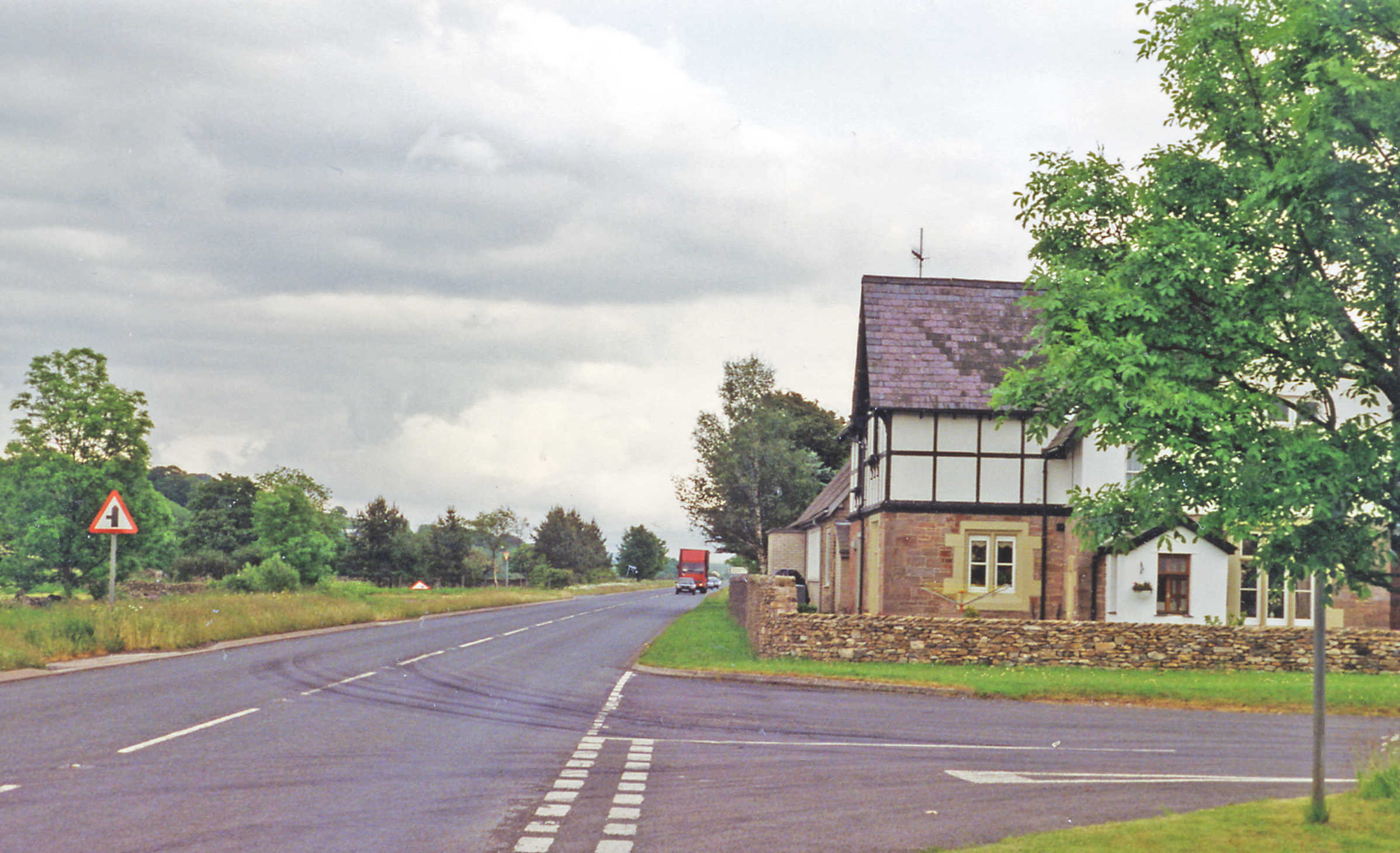
Whitefold Moss Images
Images are sourced within 2km of 54.409406/-2.5643649 or Grid Reference NY6301. Thanks to Geograph Open Source API. All images are credited.


Whitefold Moss is located at Grid Ref: NY6301 (Lat: 54.409406, Lng: -2.5643649)
Administrative County: Cumbria
District: Eden
Police Authority: Cumbria
What 3 Words
///flopping.touches.call. Near Sedbergh, Cumbria
Nearby Locations
Related Wikis

Tebay rail accident
The Tebay rail accident occurred when four railway workers working on the West Coast Main Line were killed by a runaway wagon near Tebay, Cumbria, England...

Tebay railway station
Tebay railway station was situated on the Lancaster and Carlisle Railway (L&CR) (part of the West Coast Main Line) between Lancaster and Penrith. It served...

Roundthwaite
Roundthwaite is a small village in Cumbria, England. It is located about a mile south west of Tebay, is part of the Tebay parish, and the majority of its...

Tebay
Tebay is a village and civil parish in Cumbria, England, within the historic borders of Westmorland. It lies in the upper Lune Valley, at the head of the...

Birk Beck
Birk Beck is a minor river in Cumbria.Rising on the fells near Shap, Birk Beck runs south-by-south east, picking up Wasdale Beck (running east and draining...
Gaisgill railway station
Gaisgill railway station was situated on the South Durham & Lancashire Union Railway between Tebay and Kirkby Stephen East. It served the village of Gaisgill...

A685 road
The A685 is a road in Cumbria, England, that runs 28 miles (45 km) from Kendal to Brough. == Route == The A685 begins in Kendal town centre off the A6...
Grayrigg Forest
Grayrigg Forest is a hill in Cumbria, England, located on the eastern edge of what might be considered the Lake District, and in August 2016 becoming part...
Nearby Amenities
Located within 500m of 54.409406,-2.5643649Have you been to Whitefold Moss?
Leave your review of Whitefold Moss below (or comments, questions and feedback).