The Plough Inn Park
Downs, Moorland in Cheshire
England
The Plough Inn Park
The Plough Inn Park is a picturesque and charming destination located in Cheshire, England. Nestled amidst the stunning Downs and Moorland landscape, this park offers visitors a tranquil and idyllic setting to unwind and enjoy the natural beauty of the area.
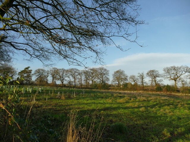
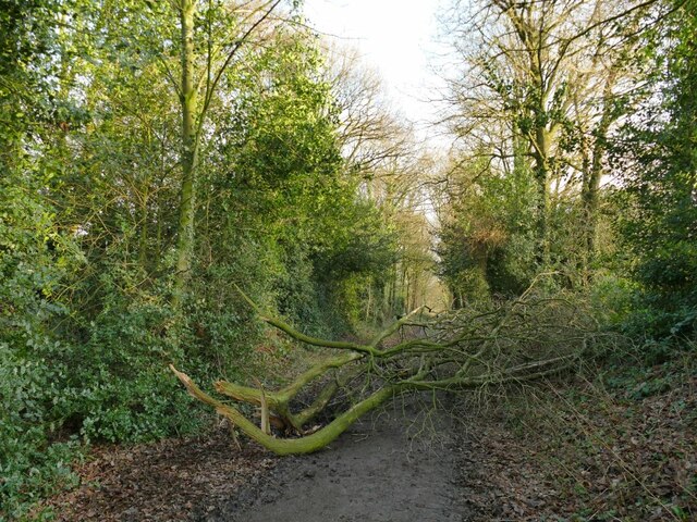
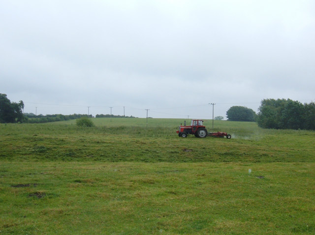
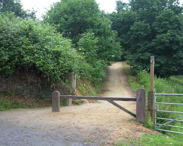
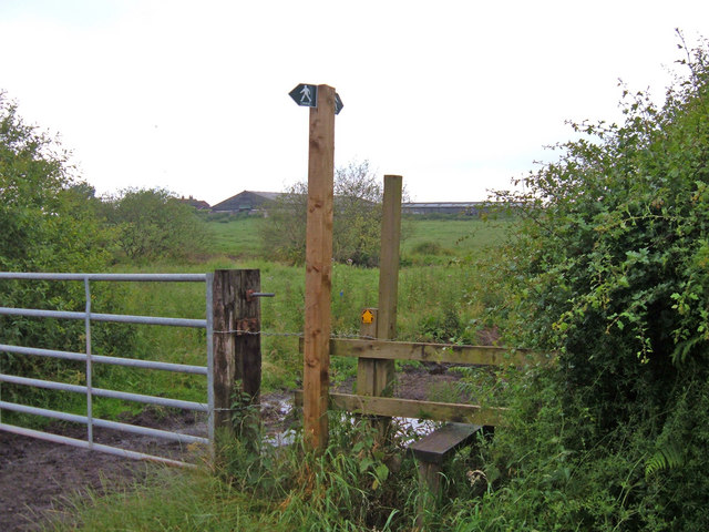
Covering a vast expanse of land, The Plough Inn Park boasts lush green meadows, rolling hills, and dense woodlands, providing visitors with a diverse range of outdoor activities. Hiking enthusiasts can explore the network of well-maintained trails that wind through the park, offering breathtaking views of the surrounding countryside. Birdwatchers will be delighted by the variety of avian species that call the park home, making it an ideal spot for bird spotting and photography.
The park also features a range of amenities to cater to visitors' needs. There is a visitor center that provides information about the park's history, wildlife, and recreational opportunities. Picnic areas are available for those who wish to relax and enjoy a meal amidst nature. Additionally, the park offers camping facilities for those who wish to extend their stay and immerse themselves in the serene surroundings.
For those seeking a bit of history, The Plough Inn Park also features several historical sites, including ancient ruins, burial mounds, and stone circles, giving visitors a glimpse into the region's rich heritage.
Overall, The Plough Inn Park in Cheshire offers a perfect blend of natural beauty, outdoor activities, and historical significance, making it an ideal destination for nature lovers, history enthusiasts, and those seeking a peaceful retreat.
If you have any feedback on the listing, please let us know in the comments section below.
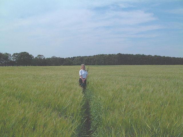
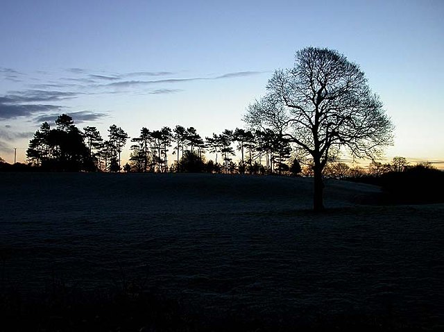
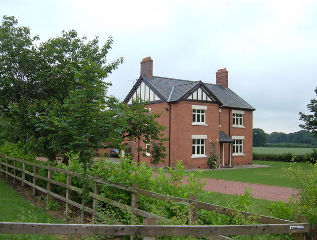
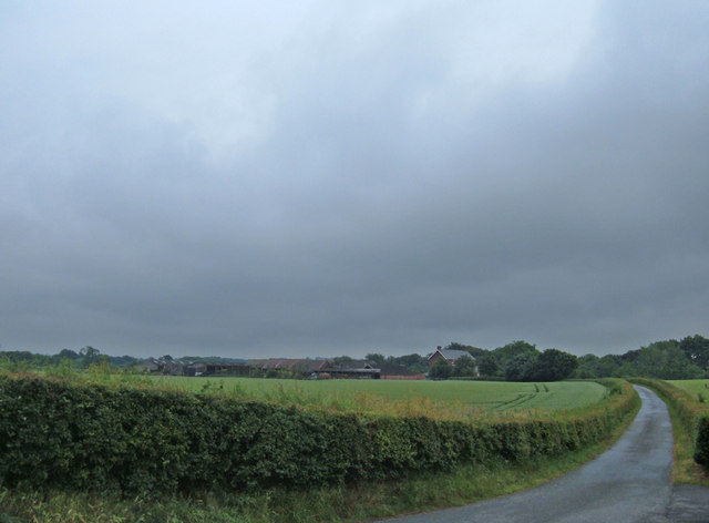
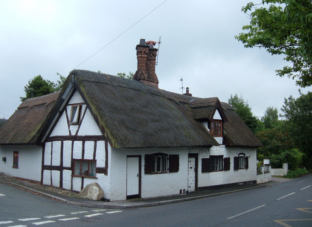
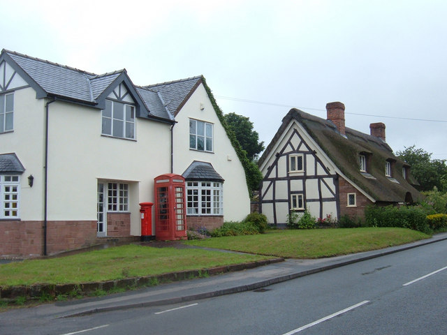
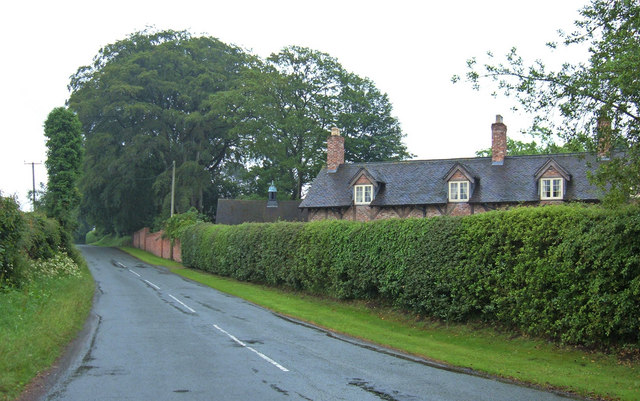
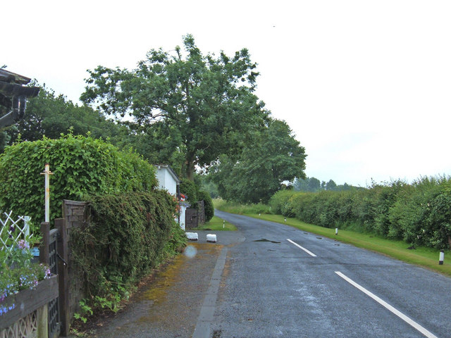
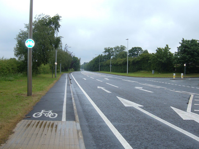
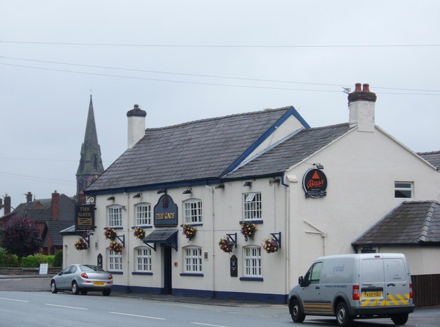
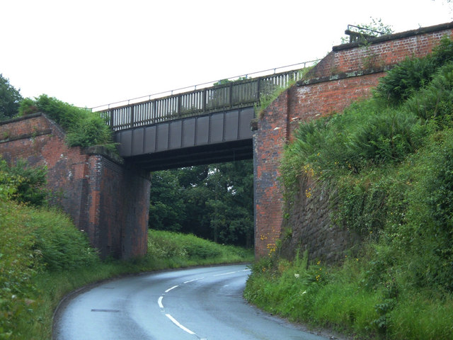
The Plough Inn Park Images
Images are sourced within 2km of 53.209248/-2.5622538 or Grid Reference SJ6268. Thanks to Geograph Open Source API. All images are credited.
The Plough Inn Park is located at Grid Ref: SJ6268 (Lat: 53.209248, Lng: -2.5622538)
Unitary Authority: Cheshire West and Chester
Police Authority: Cheshire
What 3 Words
///shadows.zealous.spellings. Near Over, Cheshire
Nearby Locations
Related Wikis

Whitegate and Marton
Whitegate and Marton is a civil parish in the unitary authority of Cheshire West and Chester and the ceremonial county of Cheshire. The parish has one...

Whitegate railway station
Whitegate railway station was the only intermediate station on the Winsford and Over Branch Line, serving the village of Whitegate, Cheshire. The station...
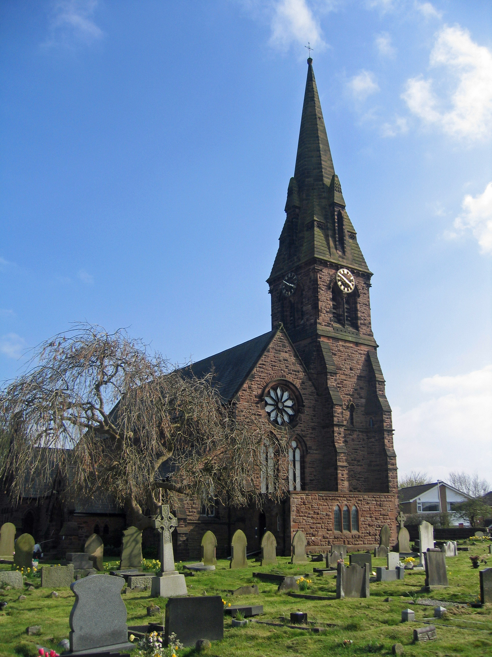
St Mary's Church, Whitegate
St Mary's Church is in the village of Whitegate, Cheshire, England. It is an active Anglican parish church in the diocese of Chester, the archdeaconry...

Whitegate, Cheshire
Whitegate is a small village in Cheshire, England, located near the towns of Northwich and Winsford. It is situated in the civil parish of Whitegate and...
St John the Evangelist's Church, Winsford
St John the Evangelist's Church is in Over, Winsford, Cheshire, England. The church is recorded in the National Heritage List for England as a designated...

Vale Royal Abbey
Vale Royal Abbey is a former medieval abbey and later country house in Whitegate, England. The precise location and boundaries of the abbey are difficult...
The Winsford Academy
The Winsford Academy (simply referred to as Winsford Academy and formerly The Winsford E-ACT Academy) is an 11–16 mixed secondary school with academy status...
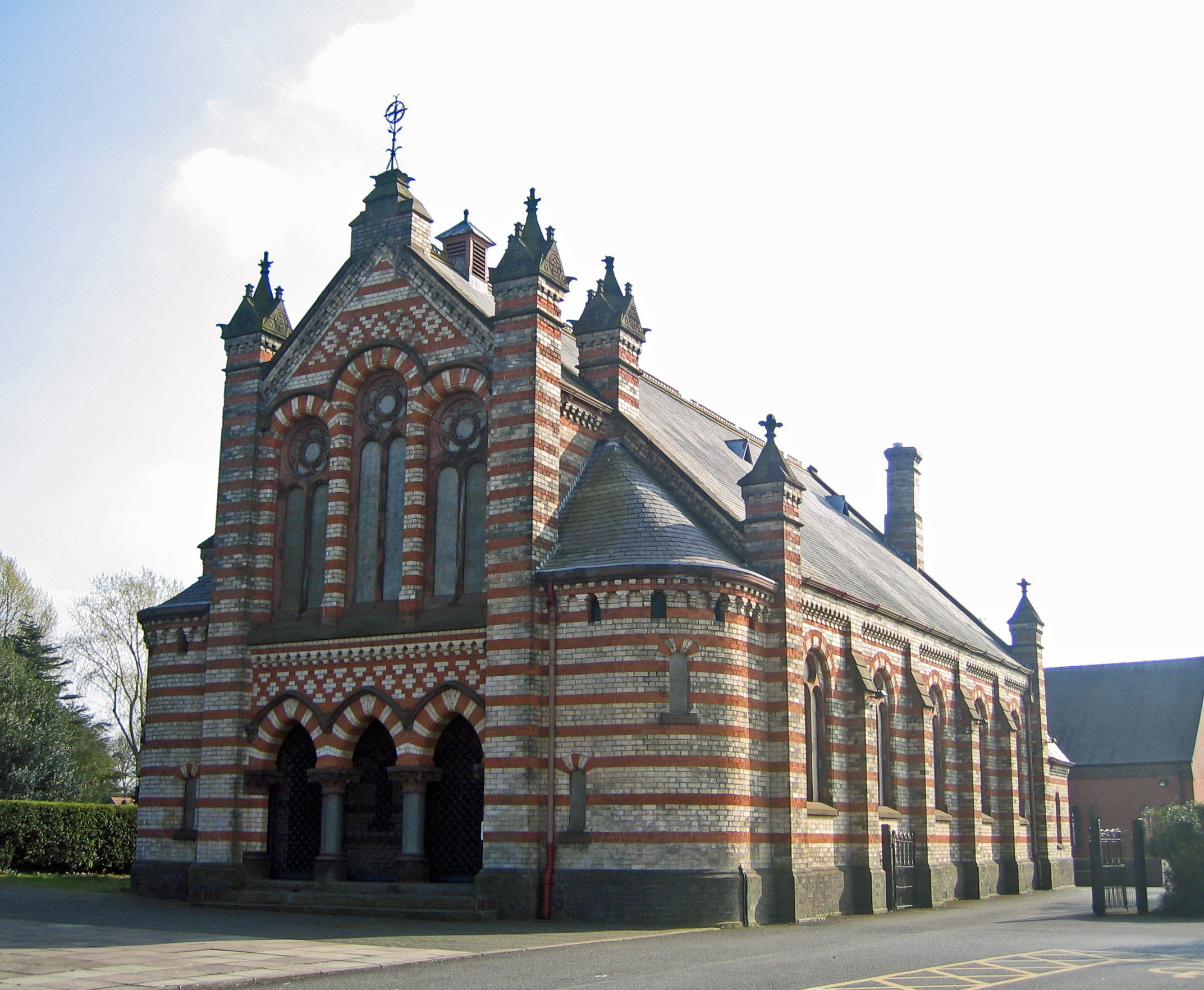
Over United Reformed Church
Over United Reformed Church is in Swanlow Lane, Over, Winsford, Cheshire, England. It was built as a Congregational chapel and is now a United Reformed...
Nearby Amenities
Located within 500m of 53.209248,-2.5622538Have you been to The Plough Inn Park?
Leave your review of The Plough Inn Park below (or comments, questions and feedback).