Foxwist Green

Settlement in Cheshire

England

Foxwist Green

Tree planting adjacent to the Whitegate Way Young trees in a triangular field.
Tree planting adjacent to the Whitegate Way Credit: Stephen Craven

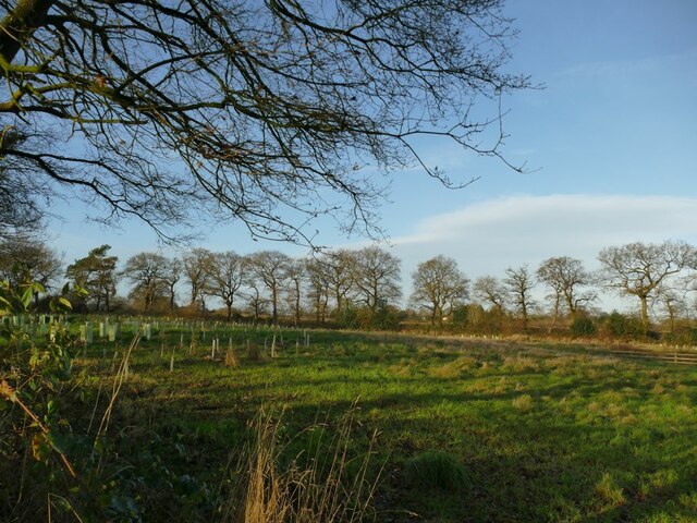
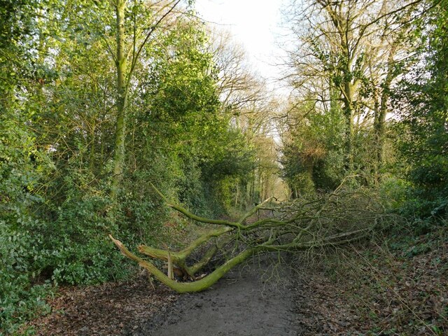
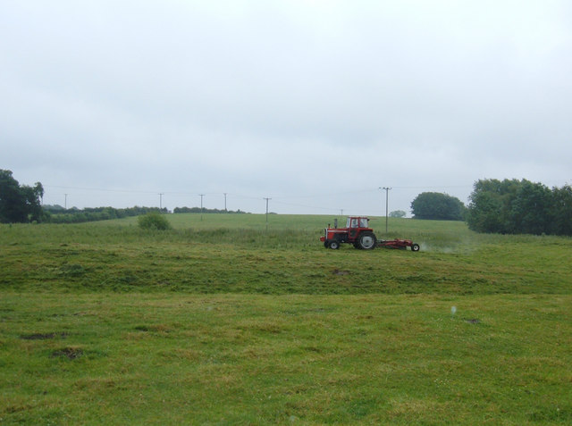
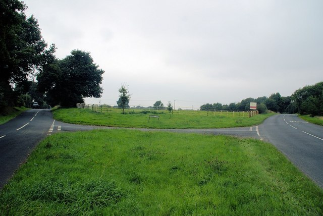
Foxwist Green is a small village located in the county of Cheshire, in the northwest of England. Situated approximately five miles south of the town of Knutsford, Foxwist Green is surrounded by picturesque countryside and is known for its idyllic setting.

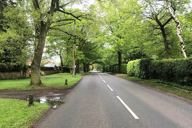
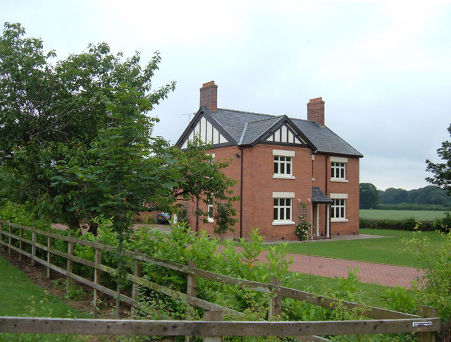
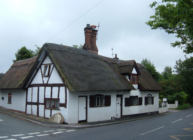
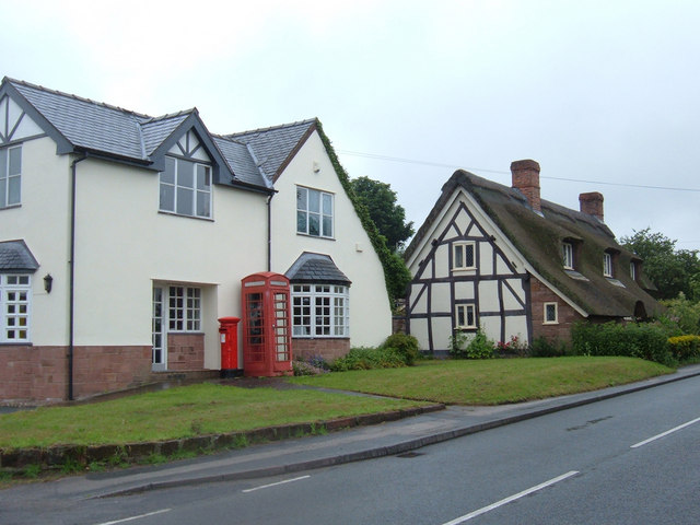
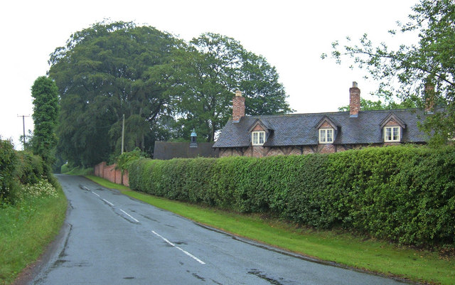
The village itself is primarily residential, with a small number of houses and cottages scattered along its single main road. The architecture in Foxwist Green is a mix of traditional Cheshire brick and timber-framed buildings, giving the village a charming and quaint atmosphere.

One of the notable features of Foxwist Green is its close proximity to Tatton Park, a historic estate and country park that attracts visitors from far and wide. Tatton Park offers extensive parkland, gardens, and a deer park, providing ample opportunities for outdoor activities and leisurely walks.

Although Foxwist Green is a small village, it benefits from its location near larger towns and cities. The nearby town of Knutsford offers a wide range of amenities, including shops, restaurants, and schools, making it convenient for residents to access essential services.

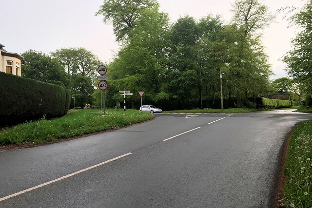
The village is also well-connected in terms of transportation, with good road links to the M6 motorway, which provides easy access to major cities such as Manchester and Liverpool. Additionally, the nearest train station is located in Knutsford, offering regular services to various destinations across the country.

In summary, Foxwist Green is a tranquil and picturesque village located in the heart of Cheshire. Its charming architecture, proximity to Tatton Park, and convenient access to nearby towns and cities make it an attractive place to live for those seeking a peaceful countryside lifestyle.

If you have any feedback on the listing, please let us know in the comments section below.

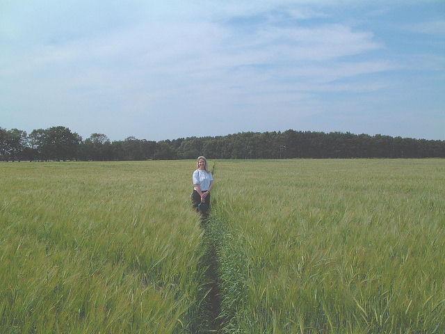
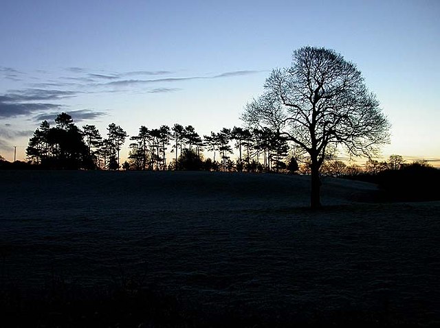
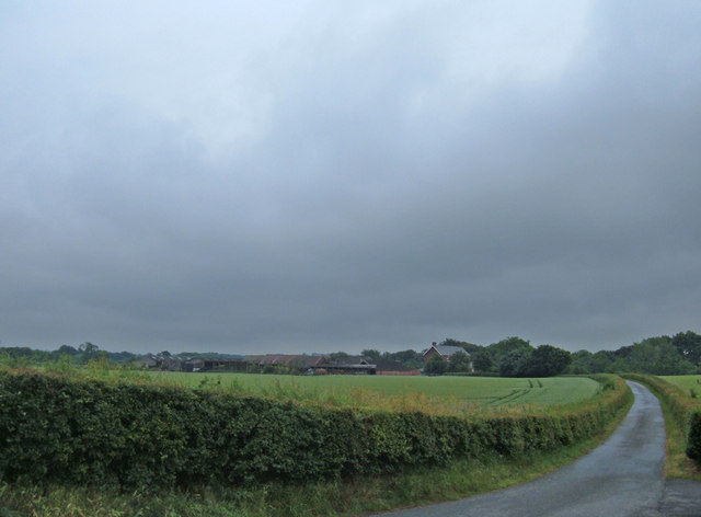
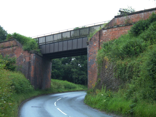
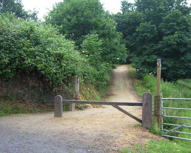
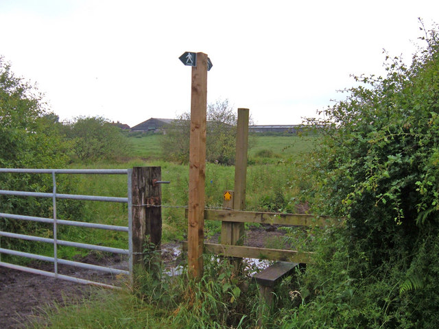
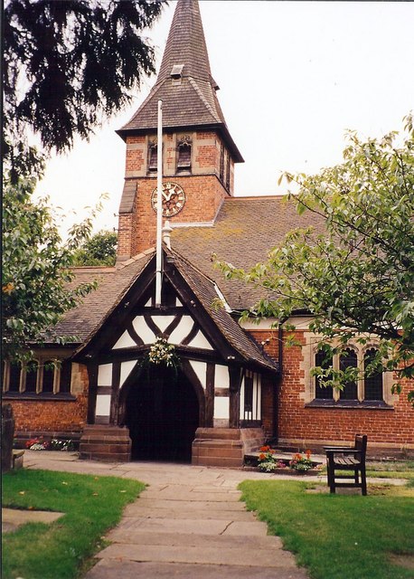
Foxwist Green Images

Images are sourced within 2km of 53.213033/-2.561364 or Grid Reference SJ6268. Thanks to Geograph Open Source API. All images are credited.

Tree planting adjacent to the Whitegate Way Young trees in a triangular field.
Tree planting adjacent to the Whitegate Way
Young trees in a triangular field.
Fallen branch on the Whitegate Way A large branch had come off a mature tree on the embankment.  It was passable for walkers, less easily so for cyclists or horse riders on this permissive bridleway.
Fallen branch on the Whitegate Way
A large branch had come off a mature tree on the embankment. It was passable for walkers, less easily so for cyclists or horse riders on this permissive bridleway.
Dalefords Lane near Pettypool Wood
Foxwist Green Junction of Cinder Hill with Dalefords Lane.
Foxwist Green
Junction of Cinder Hill with Dalefords Lane.
Step Into Cheshire! The footpath in the south west corner of the square runs straight across a barley field! The view is south west towards the wood in the adjacent square.
Step Into Cheshire!
The footpath in the south west corner of the square runs straight across a barley field! The view is south west towards the wood in the adjacent square.
Dawn at the Whitegate Way Dawn silhouettes the trees behind Whitegate Station.
Dawn at the Whitegate Way
Dawn silhouettes the trees behind Whitegate Station.
Parkside Farm, Mill Lane This large residence was available to rent in June 2006. It is just over a kilometre east of the village of Whitegate.
Parkside Farm, Mill Lane
This large residence was available to rent in June 2006. It is just over a kilometre east of the village of Whitegate.
Entrance to Bark House Farm Looking south along the drive to Bark House Farm from its junction with Mill Lane.
Entrance to Bark House Farm
Looking south along the drive to Bark House Farm from its junction with Mill Lane.
Thatched cottage, Whitegate, Cheshire A pretty cottage, but not the best of locations on the junction of Cinder Hill and Grange Lane.
Thatched cottage, Whitegate, Cheshire
A pretty cottage, but not the best of locations on the junction of Cinder Hill and Grange Lane.
Foxwist Green, Whitegate Looking west along Cinder Hill at the Post Office building (shown as such on the OS's Cheshire Street Atlas). It appears now to be used as a private residence but the telephone box and pillar box remain for the local community.
Foxwist Green, Whitegate
Looking west along Cinder Hill at the Post Office building (shown as such on the OS's Cheshire Street Atlas). It appears now to be used as a private residence but the telephone box and pillar box remain for the local community.
Cassia Green Lane Looking southeast down the lane towards the hamlet of Cassia Green. Picture taken from the junction with Clay Lane.
Cassia Green Lane
Looking southeast down the lane towards the hamlet of Cassia Green. Picture taken from the junction with Clay Lane.
Mowing at Marton Green Looking northeast across farmland from down the narrow lane leading off Clay Lane.
Mowing at Marton Green
Looking northeast across farmland from down the narrow lane leading off Clay Lane.
Whitegate Way, Martonsands Here a former railway bridge carries the Whitegate Way recreational path over Whitegate Road at Martonsands. View southeast towards Winsford.
Whitegate Way, Martonsands
Here a former railway bridge carries the Whitegate Way recreational path over Whitegate Road at Martonsands. View southeast towards Winsford.
Whitegate Way, Grange Lane Here a railway bridge has been demolished (part of the brick abutment can be seen left of shot) so the recreational route descends to cross Grange Lane. View looking west towards the terminus at Cuddington.
Whitegate Way, Grange Lane
Here a railway bridge has been demolished (part of the brick abutment can be seen left of shot) so the recreational route descends to cross Grange Lane. View looking west towards the terminus at Cuddington.
Stile on Grange Lane, Winsford Here a footpath heads west over the fields towards Martonsands passing to the north of Brook House Farm visible in the distance.
Stile on Grange Lane, Winsford
Here a footpath heads west over the fields towards Martonsands passing to the north of Brook House Farm visible in the distance.
St Mary's Church Whitegate This view shows the porch and spire
St Mary's Church Whitegate
This view shows the porch and spire
Vale Royal Abbey Golf Club house The Club house was built on the site of what was England's largest Cistercian Abbey, founded by Edward I, who in 1277 laid the first foundation stone. It took a further 53 years to complete the Abbey. When constructed, the Abbey was larger than Westminster Abbey. In the 16th century, following Henry VIII's Reformation and Dissolution of the Monasteries Acts, Thomas Holdcroft purchased the estate and pulled down the Abbey and built the Great House.
Vale Royal Abbey Golf Club house
The Club house was built on the site of what was England's largest Cistercian Abbey, founded by Edward I, who in 1277 laid the first foundation stone. It took a further 53 years to complete the Abbey. When constructed, the Abbey was larger than Westminster Abbey. In the 16th century, following Henry VIII's Reformation and Dissolution of the Monasteries Acts, Thomas Holdcroft purchased the estate and pulled down the Abbey and built the Great House.
Junction of Sandy Lane and Dalefords Lane Old steel fence, over 50 years old.
Junction of Sandy Lane and Dalefords Lane
Old steel fence, over 50 years old.
Show me another place!

Foxwist Green is located at Grid Ref: SJ6268 (Lat: 53.213033, Lng: -2.561364)

Unitary Authority: Cheshire West and Chester

Police Authority: Cheshire

What 3 Words

///shelving.start.librarian. Near Over, Cheshire

Related Wikis

Whitegate and Marton

Whitegate and Marton is a civil parish in the unitary authority of Cheshire West and Chester and the ceremonial county of Cheshire. The parish has one...

St Mary's Church, Whitegate

St Mary's Church is in the village of Whitegate, Cheshire, England. It is an active Anglican parish church in the diocese of Chester, the archdeaconry...

Whitegate, Cheshire

Whitegate is a small village in Cheshire, England, located near the towns of Northwich and Winsford. It is situated in the civil parish of Whitegate and...

Whitegate railway station

Whitegate railway station was the only intermediate station on the Winsford and Over Branch Line, serving the village of Whitegate, Cheshire. The station...

Nearby Amenities

Located within 500m of 53.213033,-2.561364
Bus Stop
Foxwist Green, Cinder Hill / Old Post Office
Alt Name: Foxwist Green Post Office
Bus: yes
Naptan AltCommonName: Foxwist Green Post Office
Naptan AtcoCode: 0610VR427
Naptan Bearing: NE
Naptan BusStopType: CUS
Naptan CommonName: Old Post Office
Naptan Indicator: opp
Naptan Landmark: Old Post Office
Naptan LocalityName: Foxwist Green
Naptan NaptanCode: chwdptg
Naptan ShortCommonName: Old Post Office
Naptan Street: Cinder Hill
Naptan Verified: no
Public Transport: platform
Source: naptan_import
Lat/Long: 53.2148689/-2.5639447
Barrier: stile
Lat/Long: 53.2095629/-2.5600984
Entrance: yes
Lat/Long: 53.2096136/-2.5645287
Post Box
Collection Times: Mo-Fr 09:00; Sa 07:00
Ref: CW8 76D
Royal Cypher: EIIR
Lat/Long: 53.2147214/-2.5641929
Power: pole
Lat/Long: 53.215838/-2.5563202
Power: pole
Lat/Long: 53.2155513/-2.5569694
Power: pole
Lat/Long: 53.2149556/-2.5584684
Power: pole
Lat/Long: 53.2146898/-2.5592208
Power: pole
Lat/Long: 53.2144055/-2.5600522
Power: pole
Lat/Long: 53.2141341/-2.5606531
Power: pole
Lat/Long: 53.2137502/-2.561506
Power: pole
Lat/Long: 53.213441/-2.5622007
Power: pole
Lat/Long: 53.2132105/-2.562713
Power: pole
Lat/Long: 53.2128299/-2.563527
Power: pole
Lat/Long: 53.2151755/-2.5578328
Barrier: kissing_gate
Lat/Long: 53.2121496/-2.5661914
Barrier: kissing_gate
Lat/Long: 53.2108774/-2.5674413
Barrier: kissing_gate
Lat/Long: 53.210324/-2.5609477
Barrier: kissing_gate
Lat/Long: 53.2122219/-2.5600961
Barrier: kissing_gate
Lat/Long: 53.2096269/-2.5610925
Bus Stop
Foxwist Green, Cinder Hill / Old Post Office
Bus: yes
Naptan AtcoCode: 0610VR19155
Naptan Bearing: SW
Naptan BusStopType: CUS
Naptan CommonName: Old Post Office
Naptan Indicator: nr
Naptan Landmark: Old Post Office
Naptan LocalityName: Foxwist Green
Naptan NaptanCode: chwadgtj
Naptan ShortCommonName: Old Post Office
Naptan Street: Cinder Hill
Public Transport: platform
Source: naptan_import
Lat/Long: 53.2146995/-2.5643166
Leadout Cycles
Addr City: Northwich
Addr Housenumber: Swallows Nest
Addr Place: Whitegate
Addr Postcode: CW8 2BJ
Addr Street: Foxwist Green
Check Date Opening Hours: 2024-02-01
Email: dave@leadoutcycles.co.uk
Opening Hours: Mo-Fr 08:00-18:00; Sa off; Su off; PH off
Opening Hours Url: https://www.leadoutcycles.co.uk/
Phone: +447879785543
Service Bicycle Service: yes
Shop: bicycle
Website: https://www.leadoutcycles.co.uk/
Wheelchair: yes
Lat/Long: 53.2129275/-2.5569016
Bench
Backrest: yes
Lat/Long: 53.2148499/-2.5639948
Waste Basket
Lat/Long: 53.2148467/-2.564053
The data included in this document is from www.openstreetmap.org. The data is made available under ODbL.

Have you been to Foxwist Green?

Leave your review of Foxwist Green below (or comments, questions and feedback).