Goodber Common
Downs, Moorland in Lancashire Lancaster
England
Goodber Common
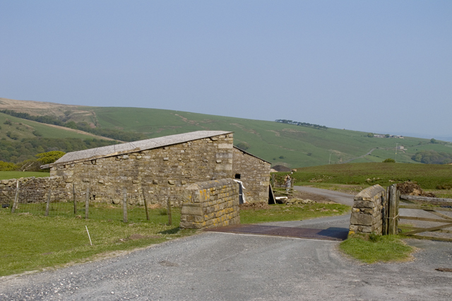
Goodber Common is a picturesque and expansive area located in Lancashire, England. Covering a total area of approximately 500 acres, it is known for its diverse landscape, featuring both downs and moorland. The common is situated in the southern part of the county, near the town of Clitheroe.
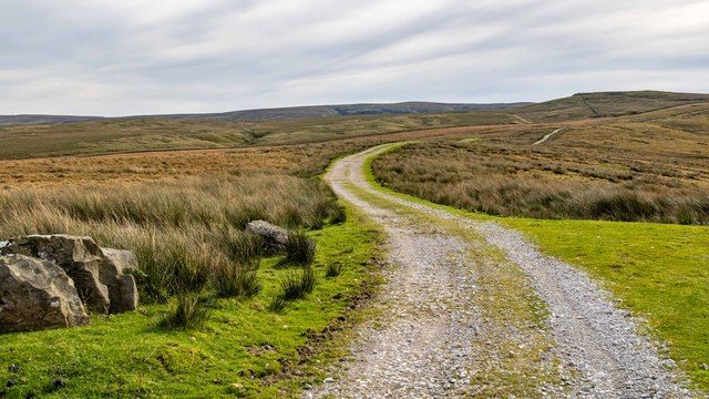
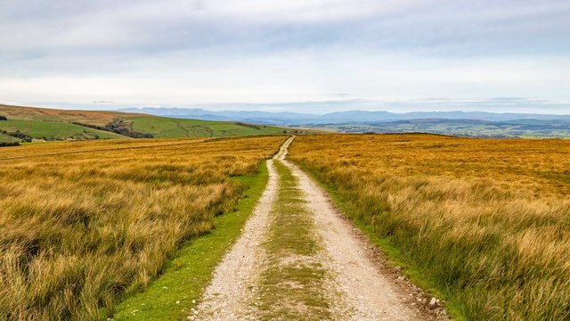
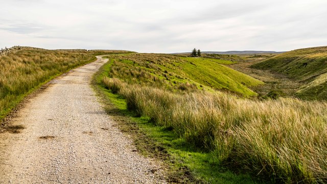
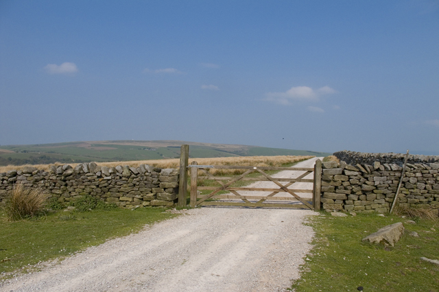
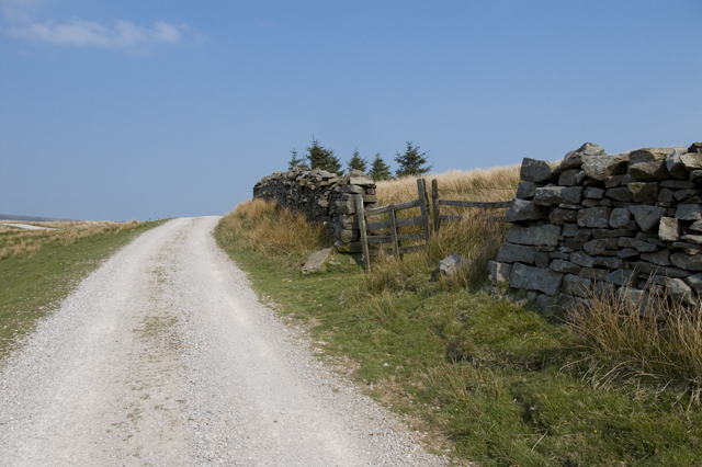
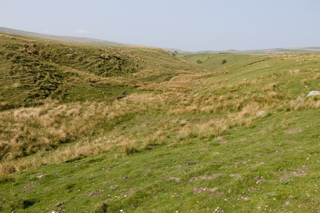
The downs of Goodber Common are characterized by gently rolling hills and wide open spaces. These areas are covered with lush green grasses and dotted with patches of wildflowers, creating a visually stunning and serene environment. The downs offer ample opportunities for leisurely walks, picnics, and even kite flying, making it a popular spot for families and nature enthusiasts.
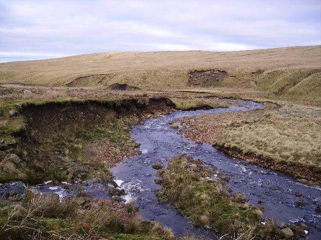
In contrast, the moorland section of Goodber Common boasts a rugged and untamed beauty. The terrain is more uneven, with heather-covered hills and peat bogs. This part of the common provides a unique habitat for various bird species, including the elusive golden plover and the endangered hen harrier. Keen birdwatchers can often be found here, armed with binoculars and cameras, hoping to catch a glimpse of these rare birds.
The common is also home to a rich array of wildlife, including rabbits, foxes, and occasionally, deer. The diverse landscape supports a variety of plant life as well, with patches of woodland, bracken, and gorse adding to the visual appeal.
Overall, Goodber Common offers a tranquil escape from the hustle and bustle of everyday life. Its natural beauty and diverse landscape make it a haven for outdoor enthusiasts and lovers of wildlife alike.
If you have any feedback on the listing, please let us know in the comments section below.
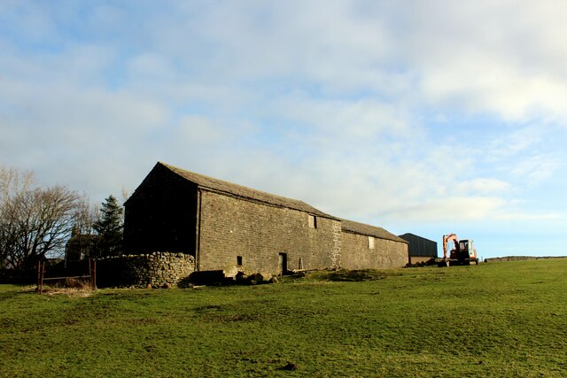
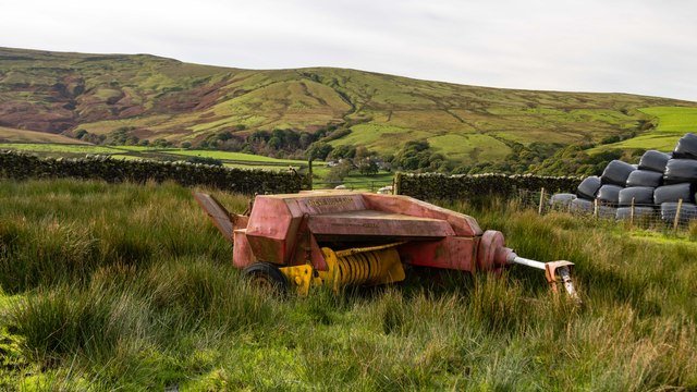
Goodber Common Images
Images are sourced within 2km of 54.060416/-2.5736153 or Grid Reference SD6262. Thanks to Geograph Open Source API. All images are credited.


Goodber Common is located at Grid Ref: SD6262 (Lat: 54.060416, Lng: -2.5736153)
Administrative County: Lancashire
District: Lancaster
Police Authority: Lancashire
What 3 Words
///fully.speedy.available. Near High Bentham, North Yorkshire
Nearby Locations
Related Wikis

Roeburndale
Roeburndale is a civil parish in the City of Lancaster and the English county of Lancashire. In 2001 it had a population of 76. In the 2011 census Roeburndale...

Church of the Good Shepherd, Tatham
The Church of the Good Shepherd is on Tatham Fell in Lancashire, England. It is an active Anglican parish church in the deanery of Tunstall, the archdeaconry...
River Roeburn
The River Roeburn is a river in Lancashire, England. Sourced at Salter Fell, the Roeburn flows northwards through Roeburndale to Wray, where it falls into...

Wolfhole Crag
Wolfhole Crag is an isolated and seldom-visited hill in the Forest of Bowland in Lancashire, England. It has an elevation of 527 m (1,729 ft) and a prominence...
Have you been to Goodber Common?
Leave your review of Goodber Common below (or comments, questions and feedback).