Corrennie Moor
Downs, Moorland in Aberdeenshire
Scotland
Corrennie Moor
Corrennie Moor is a vast expanse of downs and moorland located in Aberdeenshire, Scotland. Covering an area of approximately 10 square kilometers, it is a stunning natural landscape that is home to a diverse range of flora and fauna.
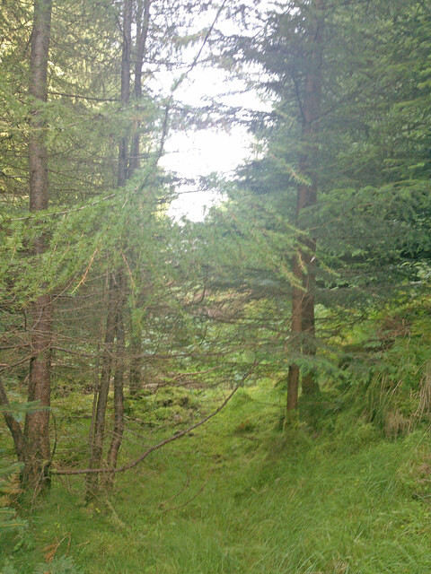
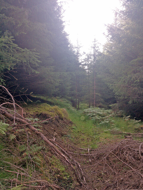
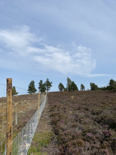
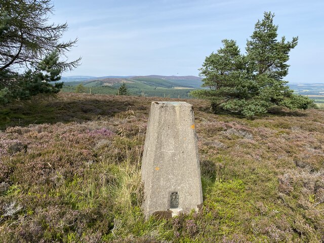
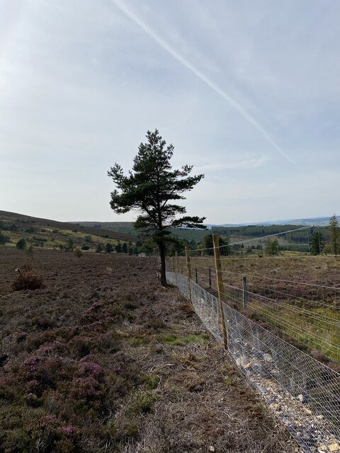
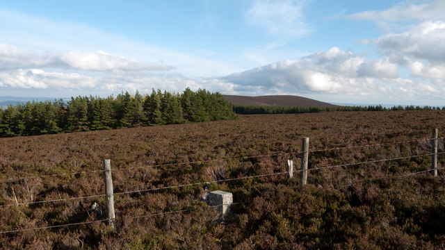
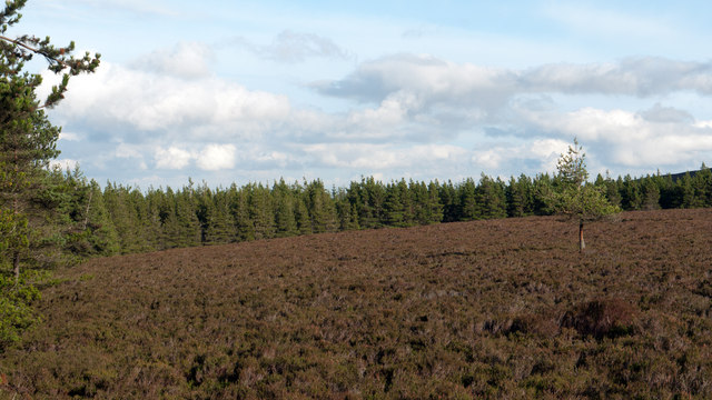
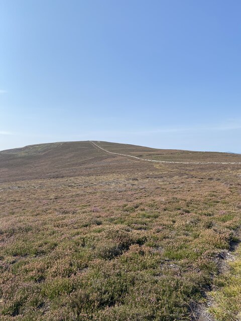
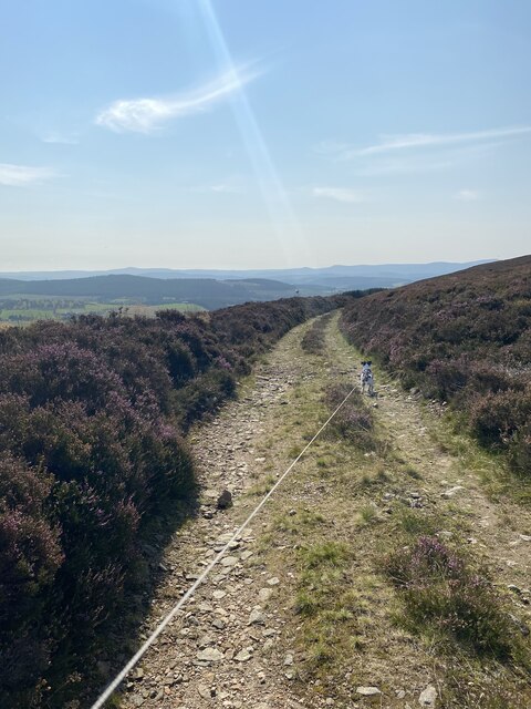
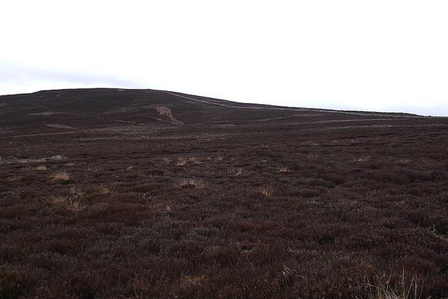
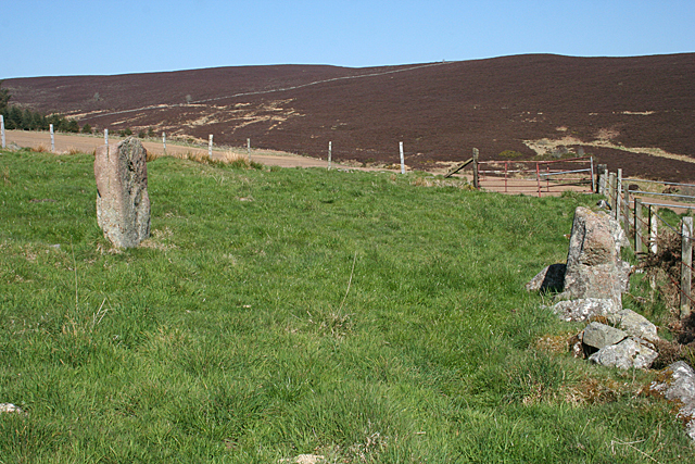
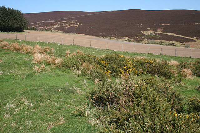
The moorland is characterized by its rolling hills, heather-covered plains, and scattered patches of woodland. It offers breathtaking panoramic views of the surrounding countryside, with the distant peaks of the Cairngorms visible on clear days. The moorland is crisscrossed by meandering streams and small rivers, which add to its picturesque charm.
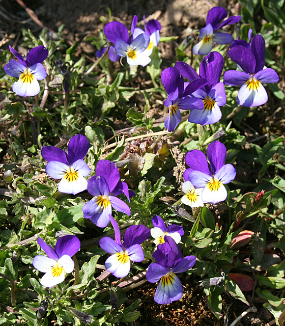
Corrennie Moor is a haven for wildlife enthusiasts and nature lovers. The moorland supports a wide variety of bird species, including red grouse, skylarks, and curlews. It is also home to several mammals, such as mountain hares, red deer, and foxes. The diverse vegetation of the area includes heather, bracken, mosses, and lichens, creating a rich and vibrant ecosystem.
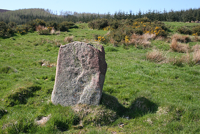
The moorland has a rich cultural history, with evidence of human activity dating back thousands of years. Ancient burial cairns and standing stones can be found scattered across the landscape. These relics provide a glimpse into the lives of the people who once inhabited this area.
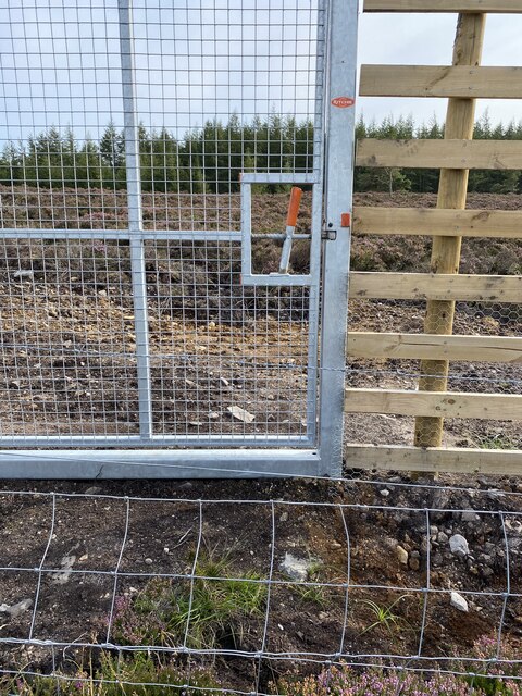
Corrennie Moor is a popular destination for outdoor activities such as hiking, birdwatching, and photography. There are well-maintained trails that allow visitors to explore the moorland and discover its hidden treasures. Whether it's to appreciate the scenic beauty or delve into its history, Corrennie Moor offers a truly immersive experience for all who visit.
If you have any feedback on the listing, please let us know in the comments section below.
Corrennie Moor Images
Images are sourced within 2km of 57.178671/-2.6218387 or Grid Reference NJ6209. Thanks to Geograph Open Source API. All images are credited.


Corrennie Moor is located at Grid Ref: NJ6209 (Lat: 57.178671, Lng: -2.6218387)
Unitary Authority: Aberdeenshire
Police Authority: North East
What 3 Words
///tucked.clicker.imitate. Near Sauchen, Aberdeenshire
Nearby Locations
Related Wikis

Tillyfourie
Tillyfourie is a hamlet in Aberdeenshire, Scotland. It is situated at the junction between the A944 road and the B993 road. A disused quarry and a stone...

Aberdeenshire (historic)
Aberdeenshire or the County of Aberdeen (Scots: Coontie o Aiberdeen, Scottish Gaelic: Siorrachd Obar Dheathain) is a historic county and registration county...

Kirkton of Tough
Kirkton of Tough, usually shortened to Tough ( TUUKH), is a settlement in the Marr area of Aberdeenshire, Scotland at grid reference NJ615129. It is about...
Tillyfourie railway station
Tillyfourie railway station was a railway station serving Tillyfourie, Aberdeenshire, Scotland. The station opened on 2 June 1860 on the Alford Valley...

Tornaveen
Tornaveen (Scottish Gaelic: Tòrr nam Fiann) is a district to the north of the small village of Lumphanan, Aberdeenshire, Scotland. It is on the Tarland...

Tillycairn Castle
Tillycairn Castle is an L-plan castle, dating from the 16th century, standing on high ground around 2.0 miles (3.2 km) south-east of Cluny in Aberdeenshire...

A944 road
The A944 road connects Aberdeen with Strathdon in north-east Scotland. == Route == It originates at the Lang Stracht in the city, which is a re-routing...

Whitehouse railway station (Scotland)
Whitehouse railway station was a station in Whitehouse, Aberdeenshire. It opened with the along with the rest of the Alford Valley Railway line from Kintore...
Have you been to Corrennie Moor?
Leave your review of Corrennie Moor below (or comments, questions and feedback).