Barren Down
Downs, Moorland in Somerset Mendip
England
Barren Down
Barren Down, located in Somerset, England, is a picturesque stretch of land that is predominantly characterized by its downs and moorland. Spanning across approximately 200 acres, Barren Down is nestled between the Quantock Hills and the Bristol Channel, offering breathtaking views of the surrounding natural beauty.
The downs of Barren Down are marked by rolling hills covered in patchy grasslands, which are interspersed with pockets of heather and gorse bushes. These open landscapes create a sense of vastness and tranquility, inviting visitors to explore and immerse themselves in nature. The moorland, on the other hand, presents a slightly different scenery, with its wet and boggy terrain, dotted with small ponds and heathland vegetation.
The area is home to a rich variety of flora and fauna, including wildflowers like purple orchids and yellow gorse, as well as numerous bird species such as skylarks and kestrels. Barren Down also provides a habitat for various small mammals, including rabbits, foxes, and the occasional deer.
Walking trails and footpaths crisscross the landscape, offering visitors the opportunity to enjoy scenic hikes and take in the breathtaking vistas. The area is a popular destination for nature enthusiasts, photographers, and those seeking a peaceful retreat away from the hustle and bustle of city life.
Barren Down, with its diverse natural features and captivating landscapes, stands as a testament to the stunning beauty that can be found in the Somerset countryside.
If you have any feedback on the listing, please let us know in the comments section below.
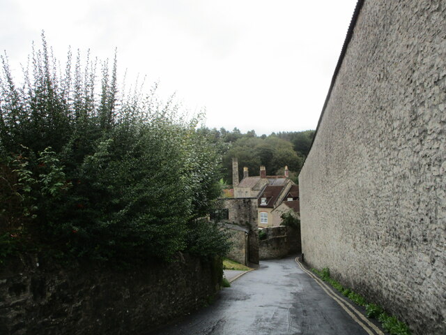
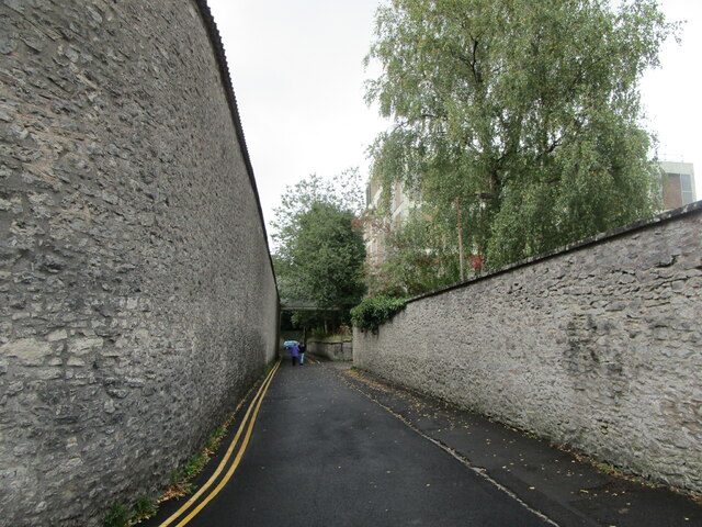
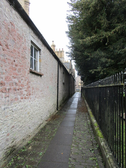
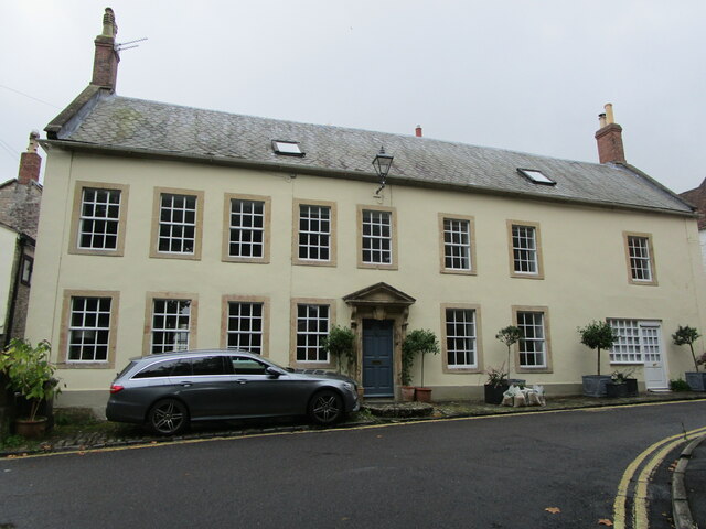
Barren Down Images
Images are sourced within 2km of 51.194925/-2.5439344 or Grid Reference ST6244. Thanks to Geograph Open Source API. All images are credited.
Barren Down is located at Grid Ref: ST6244 (Lat: 51.194925, Lng: -2.5439344)
Administrative County: Somerset
District: Mendip
Police Authority: Avon and Somerset
What 3 Words
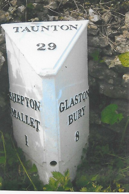
///lakes.rebounded.twisting. Near Shepton Mallet, Somerset
Nearby Locations
Related Wikis

Viaduct Quarry
Viaduct Quarry (grid reference ST621443) is a 0.3 hectare geological Site of Special Scientific Interest near Shepton Mallet on the Mendip Hills in Somerset...

Shepton Mallet Rural District
Shepton Mallet was a rural district in Somerset, England, from 1894 to 1974. It was created in 1894, under the Local Government Act 1894. In 1974 it...

Shepton Mallet
Shepton Mallet is a market town and civil parish in Somerset, England, some 16 miles (26 km) south-west of Bath, 18 miles (29 km) south of Bristol and...

HM Prison Shepton Mallet
HMP Shepton Mallet, sometimes known as Cornhill, is a former prison located in Shepton Mallet, Somerset, England. When it closed in 2013, it was the United...
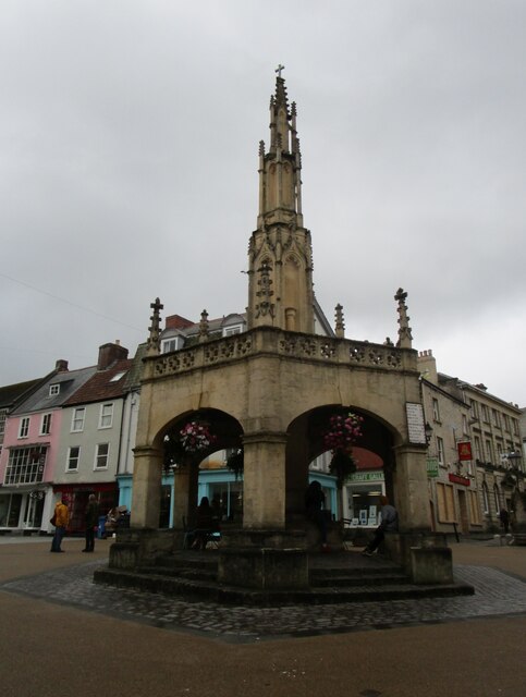
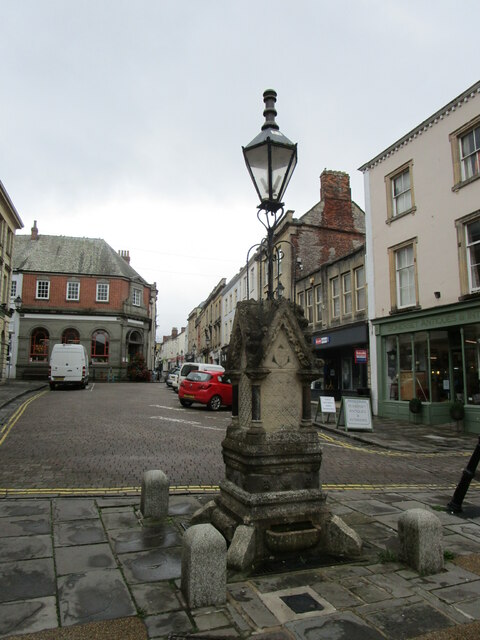
Market Cross, Shepton Mallet
The Market Cross in Shepton Mallet, Somerset, England was built around 1500 and rebuilt in 1841. It is a Grade II* listed building, and has been scheduled...

Merchant's House, Shepton Mallet
The Merchant's House at Number 8, Market Place, Shepton Mallet, Somerset, England was built around 1675 and has been designated as a Grade II* listed building...

Hobbs Quarry SSSI, Shepton Mallet
Hobbs Quarry (grid reference ST622446) is a 0.5 hectare geological Site of Special Scientific Interest near Shepton Mallet on the Mendip Hills in Somerset...
Brothers Cider
Brothers Cider is a brand of fruit cider originating in Somerset in South West England. Originally available at music festivals, it is now sold in pubs...
Nearby Amenities
Located within 500m of 51.194925,-2.5439344Have you been to Barren Down?
Leave your review of Barren Down below (or comments, questions and feedback).