Downside

Settlement in Somerset Mendip

England

Downside

Old Down Tunnel under Windsor Hill The Windsor Hills tunnels were on the Somerset and Dorset line, or the "Slow and Dirty". There are in fact two, an Up and a Down side by side, but built at different times
They were closed to all traffic in March 1966.
Old Down Tunnel under Windsor Hill Credit: Rick Crowley

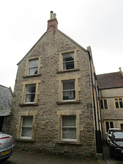
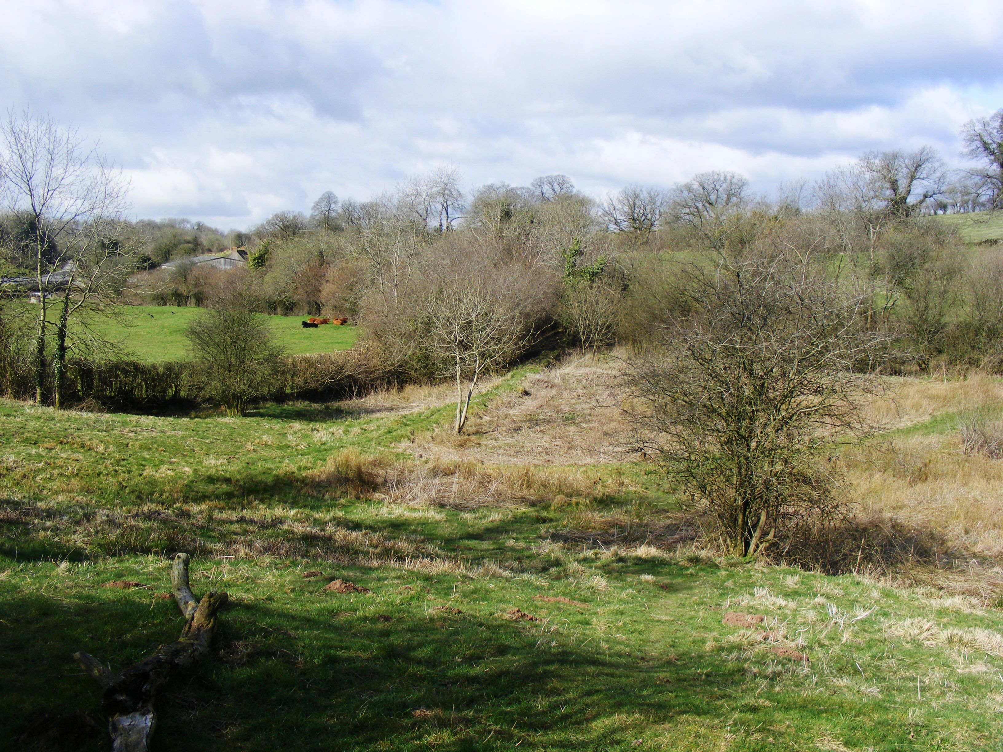
Downside is a small village located in the county of Somerset, England. Situated approximately 6 miles south of Bath, it lies within the Mendip Hills Area of Outstanding Natural Beauty. With its picturesque setting and charming rural atmosphere, Downside offers a peaceful retreat away from the hustle and bustle of city life.

The village is known for its historic significance, particularly due to the presence of Downside Abbey. This Benedictine monastery was established in 1814 and is renowned for its stunning architecture, including a neo-Gothic church. The abbey also houses a prestigious Catholic school, Downside School, which has a long and prestigious history dating back to the 1600s.

In addition to its religious and educational landmarks, Downside boasts a tight-knit community and a range of amenities. The village features a local pub, The Old Down Inn, where locals and visitors can enjoy a traditional British meal or a refreshing drink. The surrounding countryside offers ample opportunities for outdoor activities, such as hiking, cycling, and horse riding, with several trails and paths leading through the rolling hills and idyllic countryside.

Downside is well-connected to surrounding areas by road, with the A367 passing through the village, providing easy access to Bath and other nearby towns. The village also benefits from a regular bus service, making it easy to explore the wider region.

Overall, Downside offers a unique blend of natural beauty, historical significance, and a strong sense of community, making it an attractive destination for visitors and a peaceful place to call home.

If you have any feedback on the listing, please let us know in the comments section below.
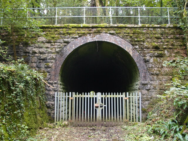
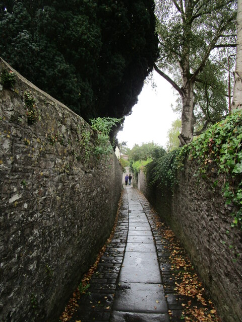
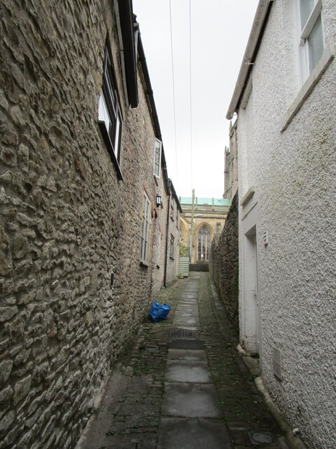
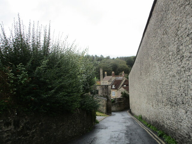
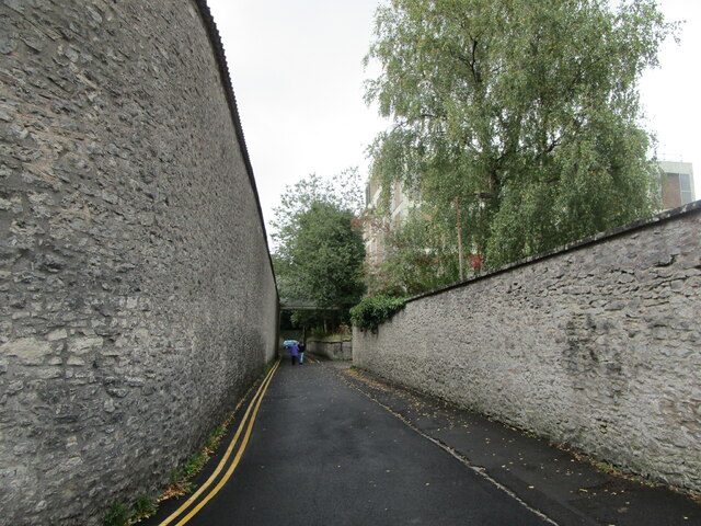
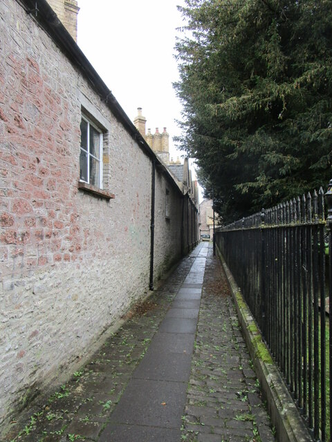
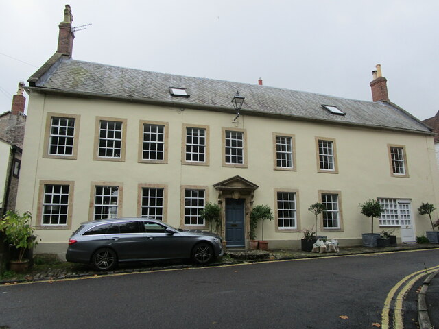
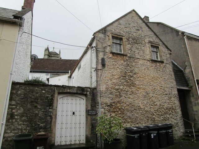
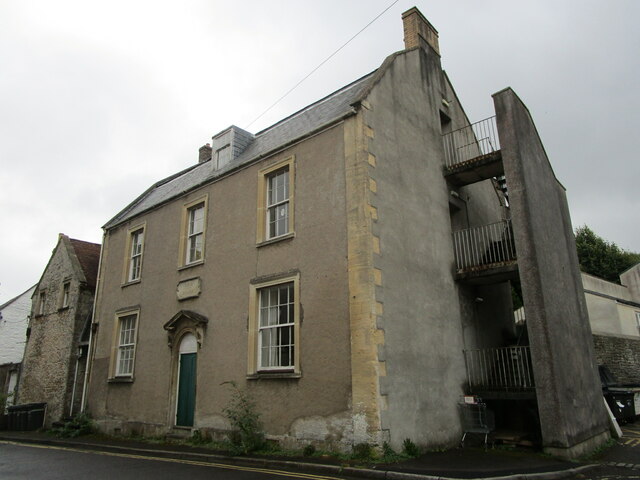
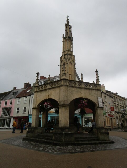
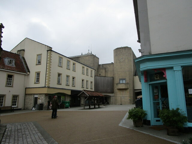
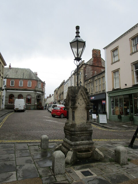
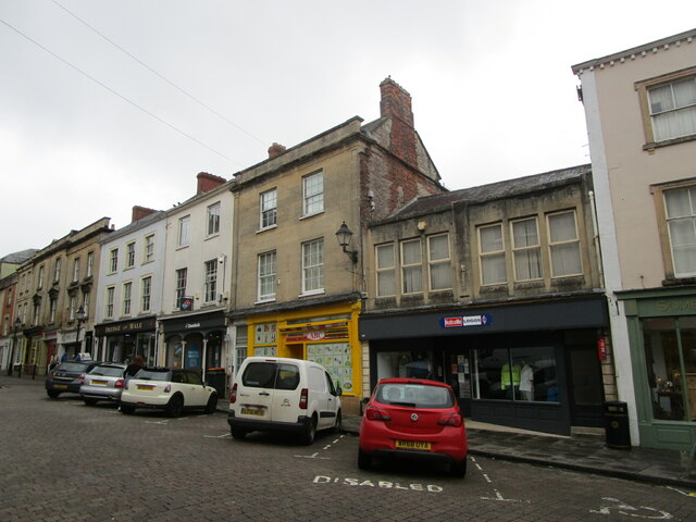
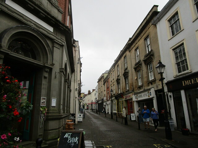
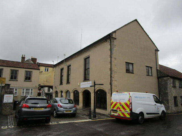
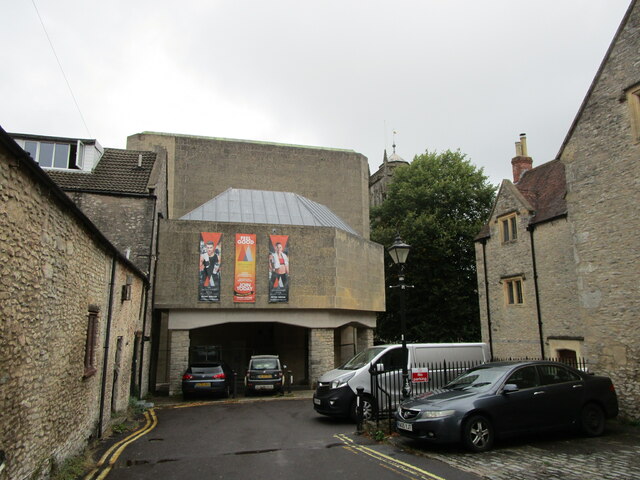
Downside Images

Images are sourced within 2km of 51.202019/-2.538008 or Grid Reference ST6244. Thanks to Geograph Open Source API. All images are credited.

Old Down Tunnel under Windsor Hill The Windsor Hills tunnels were on the Somerset and Dorset line, or the "Slow and Dirty". There are in fact two, an Up and a Down side by side, but built at different times
They were closed to all traffic in March 1966.
Old Down Tunnel under Windsor Hill
The Windsor Hills tunnels were on the Somerset and Dorset line, or the "Slow and Dirty". There are in fact two, an Up and a Down side by side, but built at different times They were closed to all traffic in March 1966.
Footpath to Gaol Lane, Shepton Mallet
Steps up to the parish church, Shepton Mallet
Gaol Lane, Shepton Mallett The perimeter wall of the gaol on the right.
Gaol Lane, Shepton Mallett
The perimeter wall of the gaol on the right.
Gaol Lane, Shepton Mallett The perimeter wall on the gaol on the left.
Gaol Lane, Shepton Mallett
The perimeter wall on the gaol on the left.
Footpath alongside the churchyard, Shepton Mallett
27 Peter Street, Shepton Mallett Dates from about 1750 <span class="nowrap"><a title="https://historicengland.org.uk/listing/the-list/list-entry/1058391" rel="nofollow ugc noopener" href="https://historicengland.org.uk/listing/the-list/list-entry/1058391">Link</a><img style="margin-left:2px;" alt="External link" title="External link - shift click to open in new window" src="https://s1.geograph.org.uk/img/external.png" width="10" height="10"/></span>
27 Peter Street, Shepton Mallett
Dates from about 1750 LinkExternal link
Entrance to The Old Rectory. Shepton Mallett
Peter Street Rooms, Shepton Mallett Dates from about 1800 <span class="nowrap"><a title="https://historicengland.org.uk/listing/the-list/list-entry/1173468" rel="nofollow ugc noopener" href="https://historicengland.org.uk/listing/the-list/list-entry/1173468">Link</a><img style="margin-left:2px;" alt="External link" title="External link - shift click to open in new window" src="https://s1.geograph.org.uk/img/external.png" width="10" height="10"/></span>
Peter Street Rooms, Shepton Mallett
Dates from about 1800 LinkExternal link
The Market Cross, Shepton Mallet The original cross dates from about 1500 with the arcade around dating from the early part of the eighteenth century. The cross itself was embellished in 1841.
The Market Cross, Shepton Mallet
The original cross dates from about 1500 with the arcade around dating from the early part of the eighteenth century. The cross itself was embellished in 1841.
The Market Place, Shepton Mallet The wooden shambles <span class="nowrap"><a title="https://historicengland.org.uk/listing/the-list/list-entry/1173341" rel="nofollow ugc noopener" href="https://historicengland.org.uk/listing/the-list/list-entry/1173341">Link</a><img style="margin-left:2px;" alt="External link" title="External link - shift click to open in new window" src="https://s1.geograph.org.uk/img/external.png" width="10" height="10"/></span> overwhelmed by the bulk of the brutalist Academy of 1974-5.
The Market Place, Shepton Mallet
The wooden shambles LinkExternal link overwhelmed by the bulk of the brutalist Academy of 1974-5.
Drinking fountain and High Street, Shepton Mallett The Drinking Fountain dates from 1868 and was designed by H.W. Hickes.
Drinking fountain and High Street, Shepton Mallett
The Drinking Fountain dates from 1868 and was designed by H.W. Hickes.
High Street, Shepton Mallett West side.
High Street, Shepton Mallett
West side.
High Street, Shepton Mallett
Assembly Room, Shepton Mallett Dates from the early nineteenth century <span class="nowrap"><a title="https://historicengland.org.uk/listing/the-list/list-entry/1058402" rel="nofollow ugc noopener" href="https://historicengland.org.uk/listing/the-list/list-entry/1058402">Link</a><img style="margin-left:2px;" alt="External link" title="External link - shift click to open in new window" src="https://s1.geograph.org.uk/img/external.png" width="10" height="10"/></span>
Assembly Room, Shepton Mallett
Dates from the early nineteenth century LinkExternal link
The end of Regal Road, Shepton Mallett The Brutalist Academy in front. 8 Market Place <span class="nowrap"><a title="https://historicengland.org.uk/listing/the-list/list-entry/1058457" rel="nofollow ugc noopener" href="https://historicengland.org.uk/listing/the-list/list-entry/1058457">Link</a><img style="margin-left:2px;" alt="External link" title="External link - shift click to open in new window" src="https://s1.geograph.org.uk/img/external.png" width="10" height="10"/></span> on the right.
The end of Regal Road, Shepton Mallett
The Brutalist Academy in front. 8 Market Place LinkExternal link on the right.
North Gable of 8 Market Place, Shepton Mallett Seventeenth century house <span class="nowrap"><a title="https://historicengland.org.uk/listing/the-list/list-entry/1058457" rel="nofollow ugc noopener" href="https://historicengland.org.uk/listing/the-list/list-entry/1058457">Link</a><img style="margin-left:2px;" alt="External link" title="External link - shift click to open in new window" src="https://s1.geograph.org.uk/img/external.png" width="10" height="10"/></span>
North Gable of 8 Market Place, Shepton Mallett
Seventeenth century house LinkExternal link
The Academy, Shepton Mallett Brutalist architecture of the mid 1970s.
The Academy, Shepton Mallett
Brutalist architecture of the mid 1970s.
Show me another place!

Downside is located at Grid Ref: ST6244 (Lat: 51.202019, Lng: -2.538008)

Administrative County: Somerset

District: Mendip

Police Authority: Avon and Somerset

What 3 Words

///joystick.shrug.take. Near Shepton Mallet, Somerset

Nearby Locations

Downside Barren Down

Related Wikis

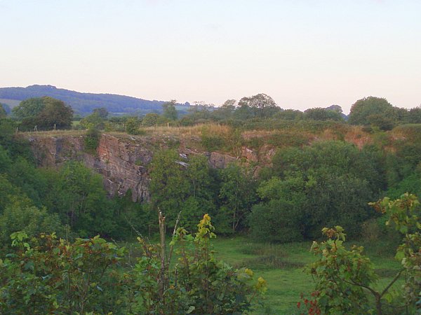
Hobbs Quarry SSSI, Shepton Mallet

Hobbs Quarry (grid reference ST622446) is a 0.5 hectare geological Site of Special Scientific Interest near Shepton Mallet on the Mendip Hills in Somerset...

Viaduct Quarry

Viaduct Quarry (grid reference ST621443) is a 0.3 hectare geological Site of Special Scientific Interest near Shepton Mallet on the Mendip Hills in Somerset...

Windsor Hill Marsh

Windsor Hill Marsh (grid reference ST619454) is a 0.84 hectare biological Site of Special Scientific Interest, north of the town of Shepton Mallet in Somerset...

Windsor Hill Quarry

Windsor Hill Quarry (grid reference ST615451) is a 0.8 hectare geological Site of Special Scientific Interest near Shepton Mallet on the Mendip Hills in...

Shepton Mallet Rural District

Shepton Mallet was a rural district in Somerset, England, from 1894 to 1974. It was created in 1894, under the Local Government Act 1894. In 1974 it was...

Shepton Mallet

Shepton Mallet is a market town and civil parish in Somerset, England, some 16 miles (26 km) south-west of Bath, 18 miles (29 km) south of Bristol and...
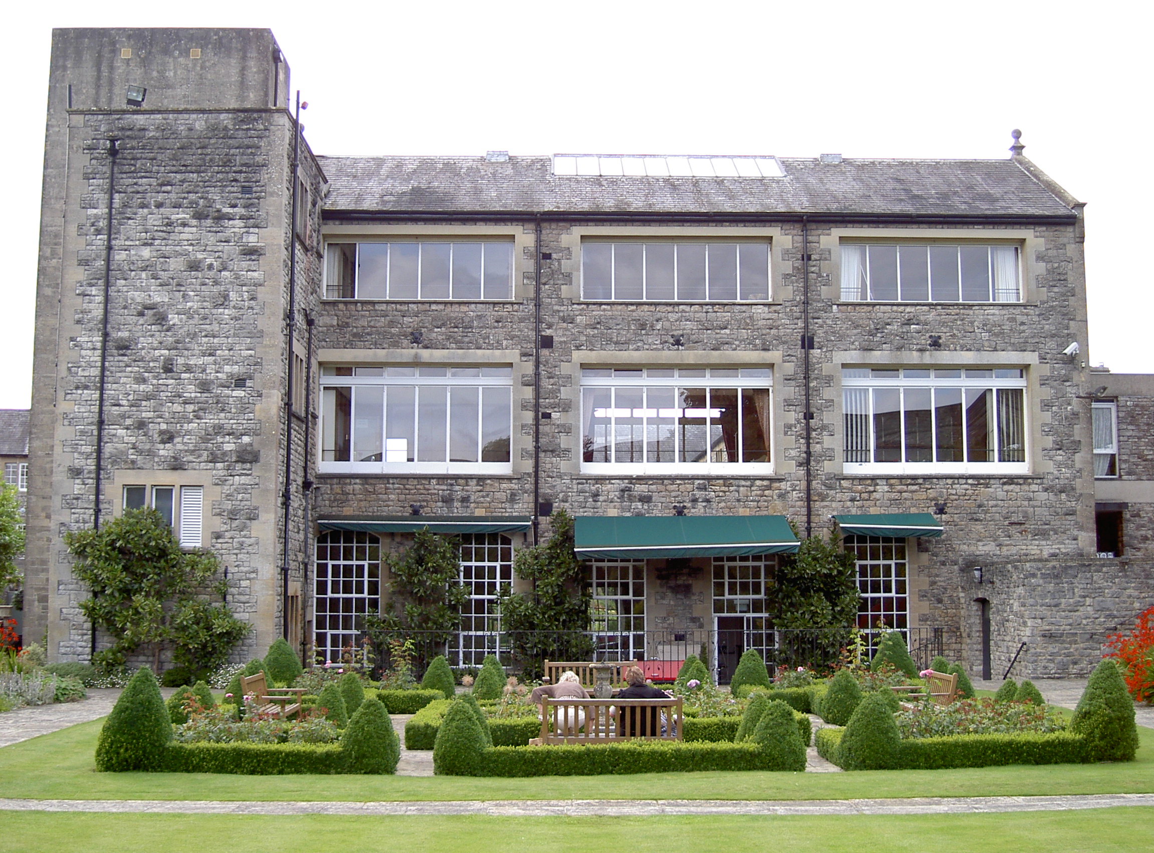
Kilver Court

Kilver Court is a historic house and gardens in Shepton Mallet in the English county of Somerset. The River Sheppey powered textile mills and it later...

HM Prison Shepton Mallet

HMP Shepton Mallet, sometimes known as Cornhill, is a former prison located in Shepton Mallet, Somerset, England. When it closed in 2013, it was the United...

Nearby Amenities

Located within 500m of 51.202019,-2.538008
Note: 40 mph speed limit sign (S-bound)
Traffic Sign Backward: GB:670[40]
Lat/Long: 51.2028771/-2.5392422
Power: pole
Lat/Long: 51.2050434/-2.5406821
Power: pole
Lat/Long: 51.2034317/-2.5401484
Power: pole
Lat/Long: 51.2041595/-2.5404005
Power: pole
Lat/Long: 51.2060281/-2.5409772
Location Transition: yes
Power: pole
Lat/Long: 51.2018575/-2.5396461
Power: pole
Lat/Long: 51.202654/-2.5399004
Power: pole
Lat/Long: 51.2039057/-2.5403239
Post Box
Operator: Royal Mail
Operator Wikidata: Q638098
Post Box Type: wall
Lat/Long: 51.201228/-2.539401
Power: pole
Lat/Long: 51.1988779/-2.540034
Power: pole
Lat/Long: 51.1996855/-2.5395985
Location Transition: yes
Power: pole
Lat/Long: 51.2004416/-2.5392052
Power: pole
Lat/Long: 51.1981164/-2.5376702
Power: pole
Lat/Long: 51.1986039/-2.5373729
Power: pole
Lat/Long: 51.1991352/-2.537024
Power: pole
Lat/Long: 51.200256/-2.5369025
Power: pole
Lat/Long: 51.2013735/-2.5367939
Power: pole
Lat/Long: 51.2017427/-2.5367681
Power: pole
Lat/Long: 51.202742/-2.5366621
Power: pole
Lat/Long: 51.2037671/-2.5365639
Power: pole
Lat/Long: 51.2048862/-2.5364605
Power: pole
Lat/Long: 51.205589/-2.5363985
Power: pole
Lat/Long: 51.2063582/-2.5363287
Power: pole
Lat/Long: 51.1978072/-2.5364745
Power: pole
Lat/Long: 51.1986544/-2.5376116
Power: pole
Lat/Long: 51.1987128/-2.5378883
Upper Downside
Place: hamlet
Lat/Long: 51.2050484/-2.5390778
Lower Downside
Place: hamlet
Lat/Long: 51.1990729/-2.542378
Downside
Place: hamlet
Lat/Long: 51.2013082/-2.5407183
New Row Farm Solar Park
Brand: National Grid
Brand Wikidata: Q1465461
Operator: National Grid Electricity Distribution Plc
Operator Old: Western Power Distribution
Operator Wikidata: Q7988183
Owner: National Grid Electricity Distribution (South West) Plc
Owner Wikidata: Q114397866
Power: substation
Ref GB Wpd Site: 168104
Voltage: 33000
Lat/Long: 51.1981922/-2.5377506
The data included in this document is from www.openstreetmap.org. The data is made available under ODbL.

Have you been to Downside?

Leave your review of Downside below (or comments, questions and feedback).