Catherton Common
Downs, Moorland in Shropshire
England
Catherton Common

Catherton Common is a picturesque area located in Shropshire, England. Situated on the outskirts of the small village of Catherton, this common is a stunning example of the natural beauty that Shropshire has to offer. Covering an expansive area, Catherton Common consists of both downs and moorland, making it a diverse and unique landscape.
The downs of Catherton Common are characterized by their rolling hills and grassy slopes. These hills provide breathtaking views of the surrounding countryside, with lush farmland and quaint villages in the distance. The grassy slopes are home to a variety of plant life, including wildflowers and herbs, creating a vibrant and colorful display.
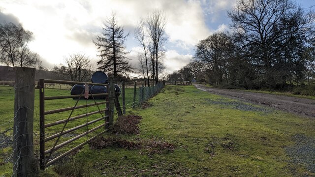
In contrast, the moorland of Catherton Common is a more rugged and untamed environment. Here, visitors can explore vast expanses of heather, bracken, and gorse, which provide a habitat for a range of wildlife species. The moorland is also dotted with small pools and streams, adding to the natural charm and tranquility of the area.
Catherton Common is a popular destination for outdoor enthusiasts and nature lovers. It offers numerous walking trails and paths, allowing visitors to explore the diverse landscapes at their own pace. The common is also home to a variety of bird species, making it a haven for birdwatchers.
Overall, Catherton Common is a hidden gem in Shropshire, offering a blend of downs and moorland that showcases the region's natural beauty. Its stunning landscapes and abundant wildlife make it a must-visit destination for anyone seeking a peaceful and scenic escape.
If you have any feedback on the listing, please let us know in the comments section below.
Catherton Common Images
Images are sourced within 2km of 52.397225/-2.5590877 or Grid Reference SO6277. Thanks to Geograph Open Source API. All images are credited.


Catherton Common is located at Grid Ref: SO6277 (Lat: 52.397225, Lng: -2.5590877)
Unitary Authority: Shropshire
Police Authority: West Mercia
What 3 Words
///rainfall.mornings.different. Near Cleobury Mortimer, Shropshire
Nearby Locations
Related Wikis

Catherton Common
Catherton Common is a nature reserve of the Shropshire Wildlife Trust, between Cleehill and Cleobury Mortimer in Shropshire, England. It is heathland...
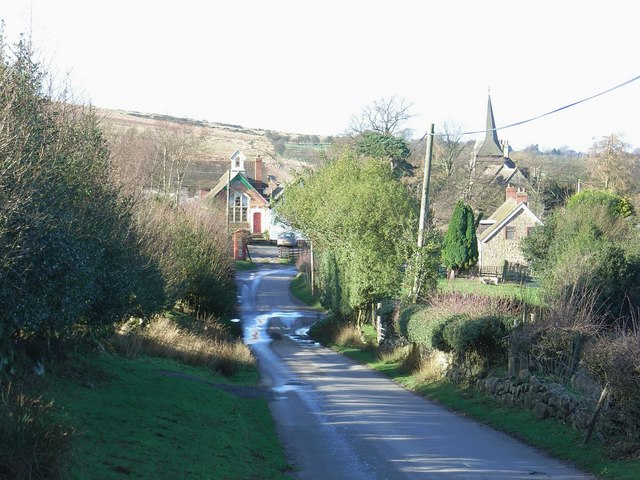
Cleeton St Mary
Cleeton St Mary (or Cleeton) is a small village in south Shropshire, England. It lies on the northeast slope of Titterstone Clee Hill, at an elevation...

A4117 road
The A4117 is a single-carriageway 'A road' in western England, largely in Shropshire, which passes through part of the Wyre Forest and Clee Hills. ��2...

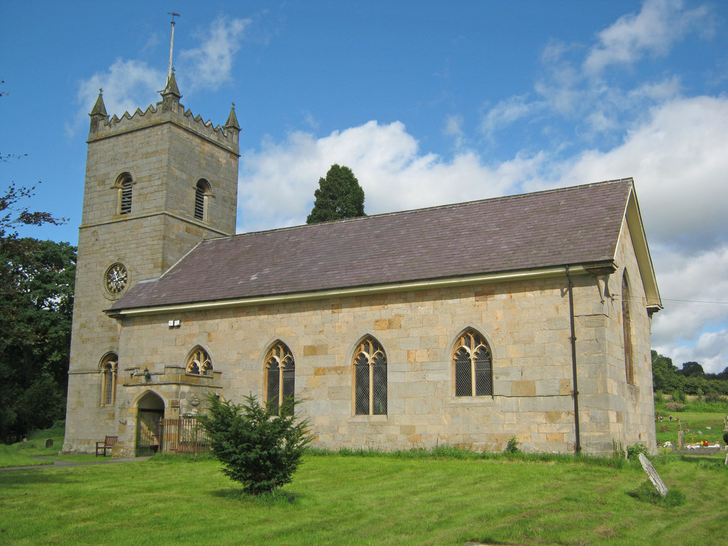
Silvington
Silvington is a village and former civil parish, now in the parish of Wheathill, in Shropshire, England. The church is dedicated to Saint Michael and is...
Hopton Wafers
Hopton Wafers is a small village and civil parish in south Shropshire, England. The population of the public parish at the 2011 census was 753. It is located...
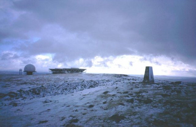
Titterstone Clee Hill
Titterstone Clee Hill, sometimes referred to as Titterstone Clee or Clee Hill, is a prominent hill in the rural English county of Shropshire, rising at...

Farlow, Shropshire
Farlow is a small village and civil parish in Shropshire, England. The population at the 2011 census was 445.The chapelry of Farlow was an exclave of Herefordshire...

Bedlam, Shropshire
Bedlam (also known as Titterstone Village) is a small hamlet in south Shropshire, England.It is located east of Bitterley and north of Cleehill, situated...
Nearby Amenities
Located within 500m of 52.397225,-2.5590877Have you been to Catherton Common?
Leave your review of Catherton Common below (or comments, questions and feedback).