Silvington Common
Downs, Moorland in Shropshire
England
Silvington Common
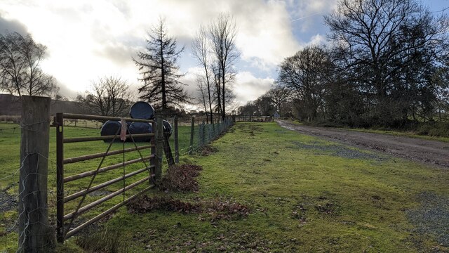
Silvington Common is a picturesque area located in the county of Shropshire, England. Situated near the village of Silvington, this common is known for its diverse landscapes, comprising of downs and moorland. Spanning over a considerable area, Silvington Common offers visitors a tranquil escape amidst nature's beauty.
The downs of Silvington Common are characterized by rolling hills and grassy meadows. These open spaces provide ample opportunities for walking, picnicking, and enjoying panoramic views of the surrounding countryside. The downs are often home to a variety of wildflowers and grasses, which bloom vibrantly during the spring and summer months.
Adjacent to the downs, the moorland of Silvington Common offers a contrasting landscape with its heather-covered expanses. This unique habitat is a haven for wildlife, such as birds of prey, small mammals, and reptiles. The moorland's rugged terrain, dotted with rocky outcrops, creates an enchanting and untamed atmosphere.
Silvington Common is a popular destination for nature enthusiasts, hikers, and photographers. The area is crisscrossed with footpaths and trails, allowing visitors to explore the diverse ecosystems and encounter the local flora and fauna. The common is also home to a variety of butterfly species, adding to its natural charm.
Silvington Common is managed by local authorities to ensure the preservation of its natural beauty and biodiversity. Visitors are encouraged to respect the wildlife and follow designated paths to minimize any disruption to the delicate ecosystems.
Overall, Silvington Common offers a captivating blend of downs and moorland landscapes, making it an idyllic destination for those seeking a peaceful retreat in the heart of Shropshire.
If you have any feedback on the listing, please let us know in the comments section below.
Silvington Common Images
Images are sourced within 2km of 52.408142/-2.558623 or Grid Reference SO6279. Thanks to Geograph Open Source API. All images are credited.


Silvington Common is located at Grid Ref: SO6279 (Lat: 52.408142, Lng: -2.558623)
Unitary Authority: Shropshire
Police Authority: West Mercia
What 3 Words
///deriving.strategy.manage. Near Cleobury Mortimer, Shropshire
Nearby Locations
Related Wikis

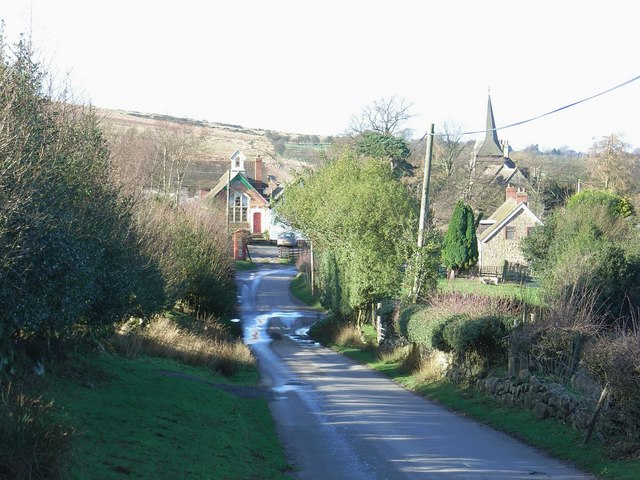
Silvington
Silvington is a village and former civil parish, now in the parish of Wheathill, in Shropshire, England. The church is dedicated to Saint Michael and is...
Cleeton St Mary
Cleeton St Mary (or Cleeton) is a small village in south Shropshire, England. It lies on the northeast slope of Titterstone Clee Hill, at an elevation...

Catherton Common
Catherton Common is a nature reserve of the Shropshire Wildlife Trust, between Cleehill and Cleobury Mortimer in Shropshire, England. It is heathland...

Farlow, Shropshire
Farlow is a small village and civil parish in Shropshire, England. The population at the 2011 census was 445.The chapelry of Farlow was an exclave of Herefordshire...
Nearby Amenities
Located within 500m of 52.408142,-2.558623Have you been to Silvington Common?
Leave your review of Silvington Common below (or comments, questions and feedback).