Burnslack Fell
Downs, Moorland in Lancashire Ribble Valley
England
Burnslack Fell
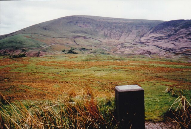
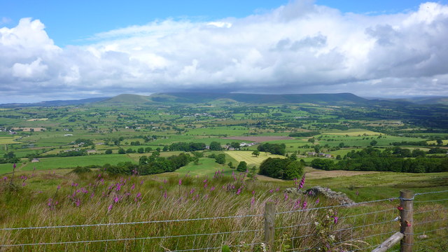
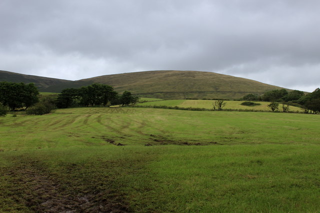
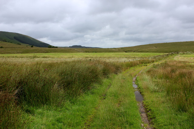
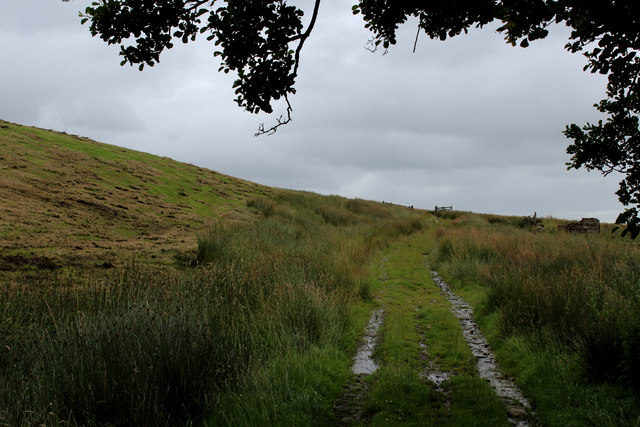
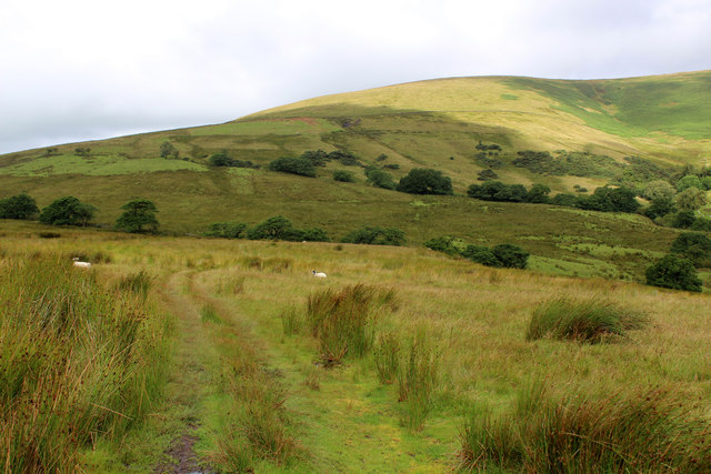
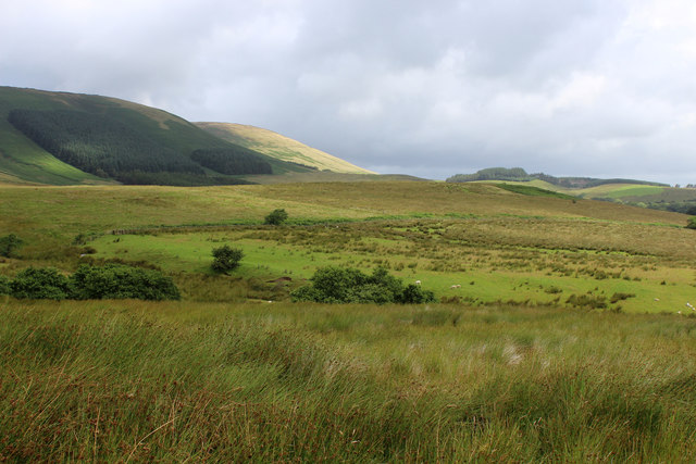
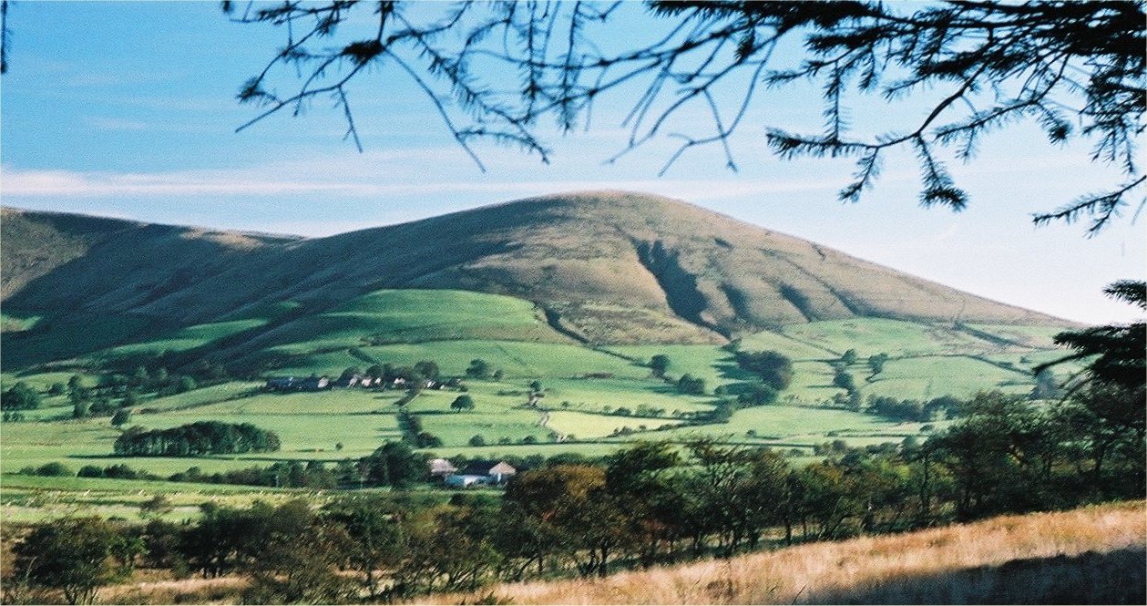
Burnslack Fell is a prominent geographical feature located in the county of Lancashire, England. Situated in the Pennine Hills, it is primarily characterized by its expansive downs and picturesque moorland. The fell sits at an elevation of approximately 1,830 feet (558 meters) above sea level, making it one of the higher peaks in the region.
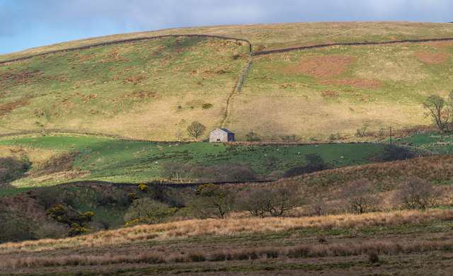
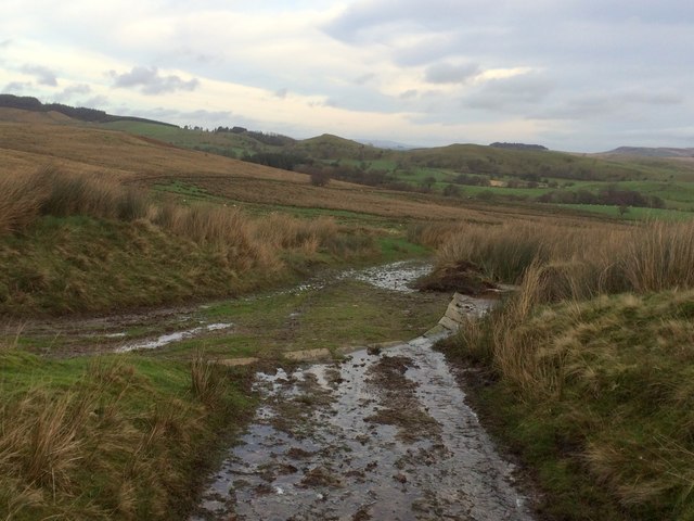
The terrain of Burnslack Fell is predominantly covered by heather moorland, interspersed with patches of grassy slopes and rocky outcrops. The fell offers breathtaking panoramic views of the surrounding landscape, including the nearby towns of Burnley and Nelson, as well as the vast countryside that stretches out towards the Yorkshire Dales.
The area is known for its diverse flora and fauna, with heather, bilberry, and crowberry being some of the common plant species found on the fell. Wildlife enthusiasts often visit the area to spot various bird species, such as curlews, golden plovers, and red grouse, which thrive in this upland habitat.
Burnslack Fell is a popular destination for outdoor enthusiasts and hikers, who are drawn to its natural beauty and challenging trails. Several footpaths traverse the fell, allowing visitors to explore its rugged terrain and take in the stunning vistas. It is advisable to come prepared with appropriate hiking gear and to be mindful of the weather conditions, as the fell can experience sudden changes in temperature and visibility.
Overall, Burnslack Fell offers a unique and captivating landscape, showcasing the beauty of Lancashire's upland areas. Whether it's for a leisurely stroll or a more demanding hike, this natural gem provides a memorable experience for all who venture to its heights.
If you have any feedback on the listing, please let us know in the comments section below.
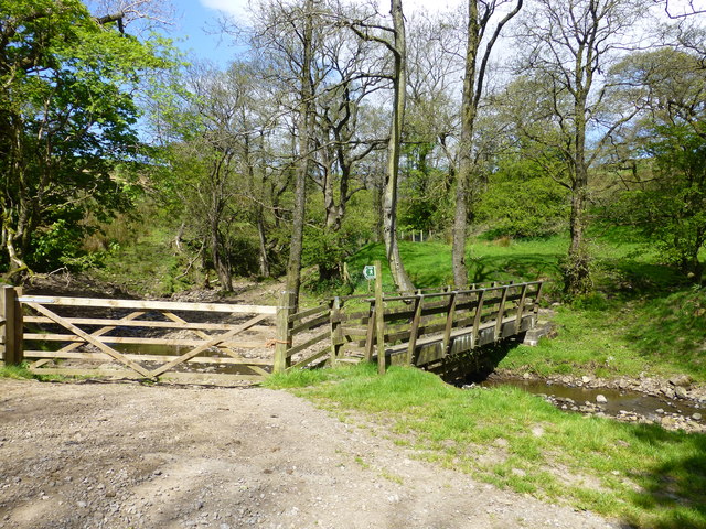
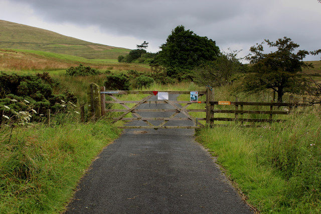
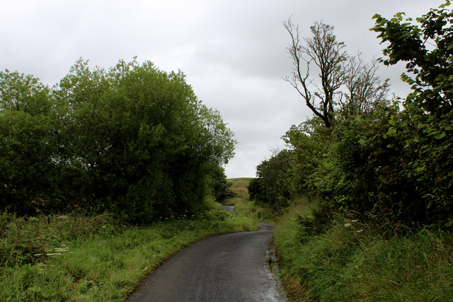
Burnslack Fell Images
Images are sourced within 2km of 53.916391/-2.5784137 or Grid Reference SD6246. Thanks to Geograph Open Source API. All images are credited.


Burnslack Fell is located at Grid Ref: SD6246 (Lat: 53.916391, Lng: -2.5784137)
Administrative County: Lancashire
District: Ribble Valley
Police Authority: Lancashire
What 3 Words
///purse.plenty.backtrack. Near Longridge, Lancashire
Nearby Locations
Related Wikis

Bowland-with-Leagram
Bowland-with-Leagram is a civil parish in the Ribble Valley district of Lancashire, England, covering part of the Forest of Bowland. According to the census...
Parlick
Parlick (also known as Parlick Pike) is an approximately cone-shaped steep-sided hill at the extreme south of the main range of Bowland fells in Lancashire...

Kirk Mill
Kirk Mill is an early example of an Arkwright-type cotton mill and a grade II listed building in Chipping, Lancashire, in Ribble Valley, to the north of...

Chipping, Lancashire
Chipping is a village and civil parish in the borough of Ribble Valley, Lancashire, England, within the Forest of Bowland Area of Outstanding Natural Beauty...
Nearby Amenities
Located within 500m of 53.916391,-2.5784137Have you been to Burnslack Fell?
Leave your review of Burnslack Fell below (or comments, questions and feedback).