Sallings Common
Downs, Moorland in Worcestershire Malvern Hills
England
Sallings Common
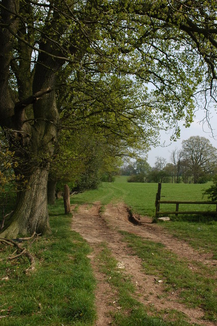
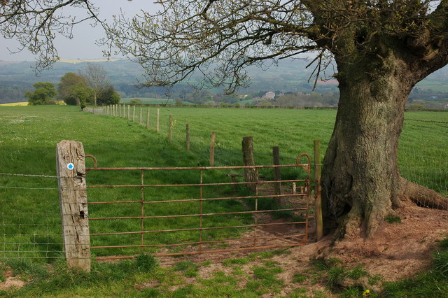
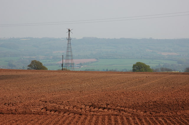
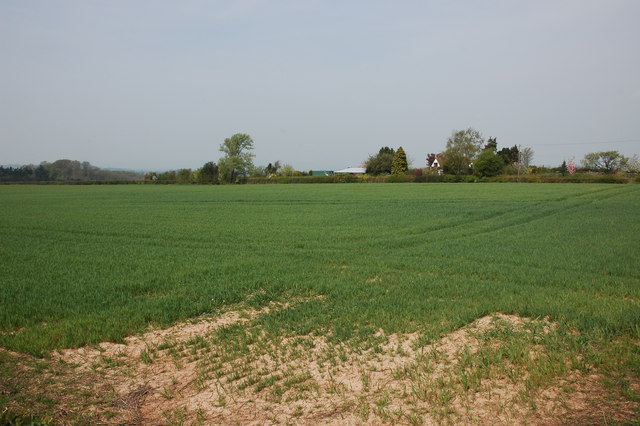
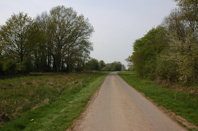
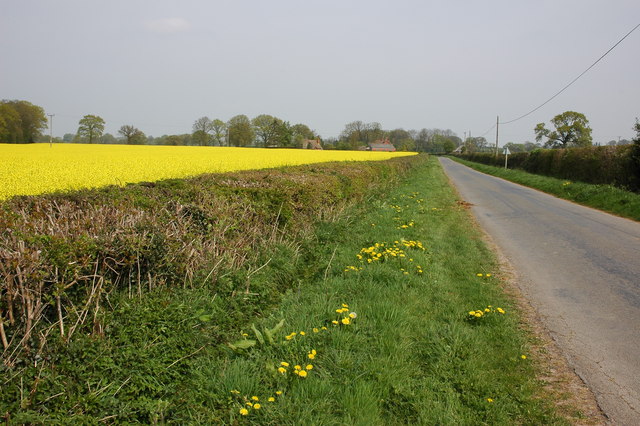
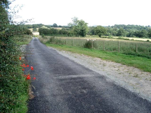
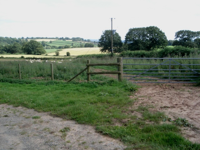
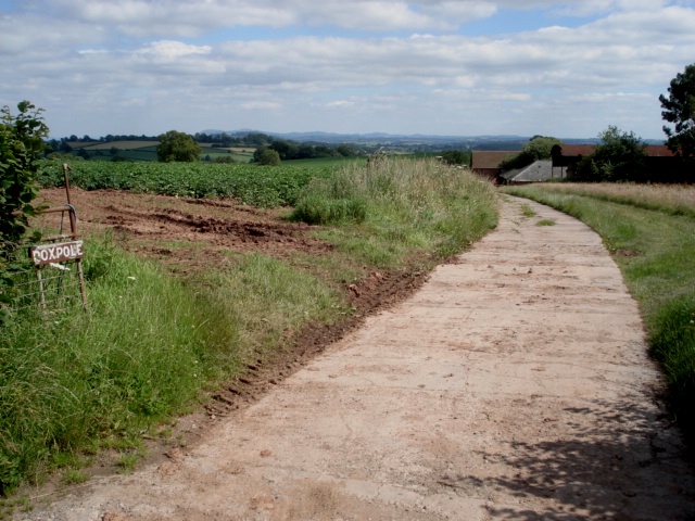
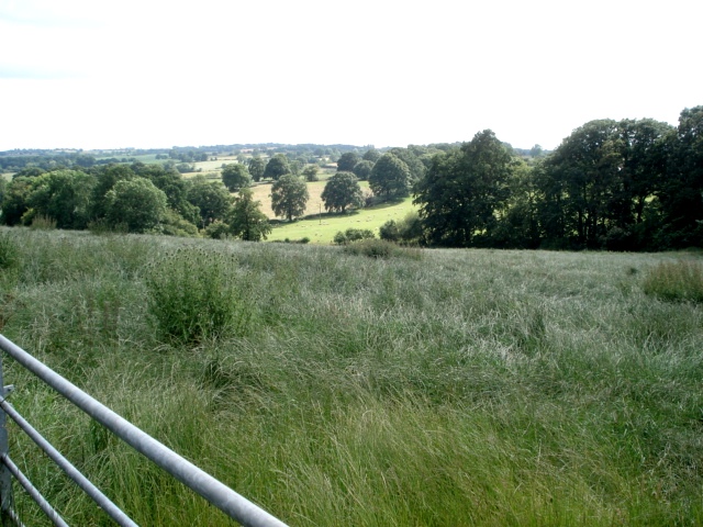
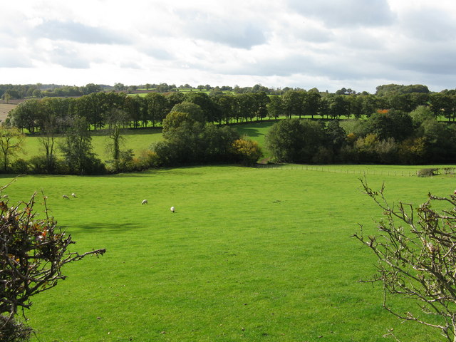
Sallings Common is a picturesque area situated in Worcestershire, England. Known for its stunning natural beauty and diverse landscapes, it is a popular destination for nature enthusiasts and outdoor adventurers. Stretching across sprawling downs and moorland, Sallings Common offers a unique blend of rolling hills, open grasslands, and heather-covered areas.
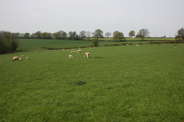
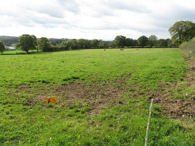
The downs of Sallings Common are characterized by their gently sloping hills and lush greenery. These areas provide ideal conditions for grazing livestock and are often dotted with sheep and cattle. The vibrant colors of wildflowers in the spring and summer add to the charm of the downs, creating a vibrant tapestry of nature.
Transitioning into the moorland section of Sallings Common, visitors are greeted with a more rugged and untamed landscape. This area is characterized by its rocky outcrops, heather-covered expanses, and peat bogs. Moorland birds such as grouse and curlew can often be spotted here, adding to the rich biodiversity of the region.
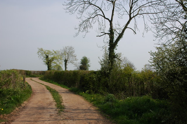
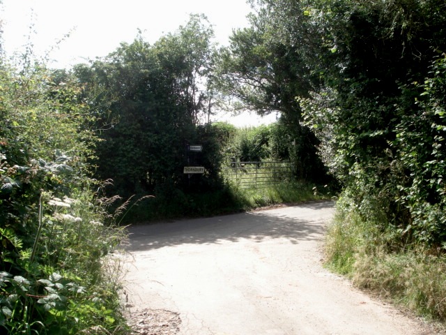
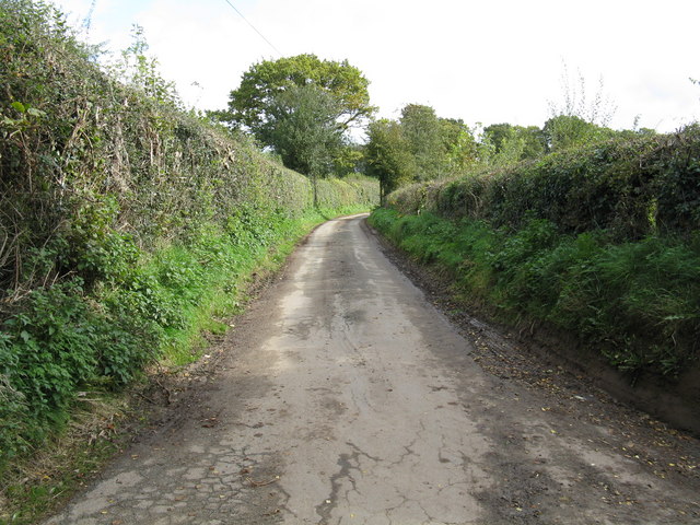
Sallings Common offers a variety of walking and hiking trails, allowing visitors to explore the area's natural wonders at their own pace. The tranquility and peacefulness of the surroundings make it an ideal location for those seeking solace in nature. Additionally, the area is home to several rare and protected plant and animal species, making it a site of ecological importance.
Overall, Sallings Common is a captivating destination that showcases the beauty of Worcestershire's countryside. Its mix of downs and moorland provides a diverse range of landscapes, offering something for everyone to enjoy.
If you have any feedback on the listing, please let us know in the comments section below.
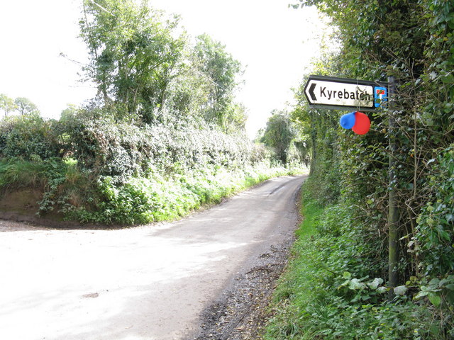
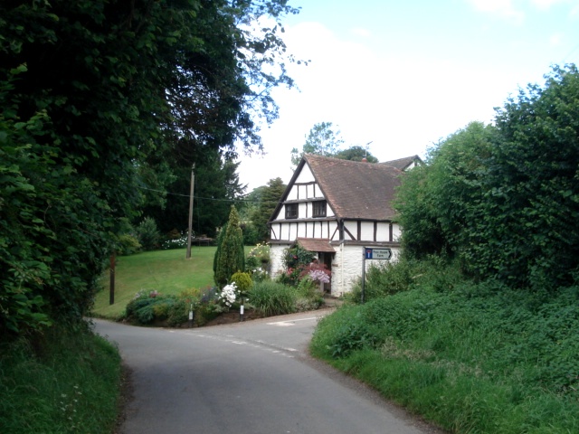
Sallings Common Images
Images are sourced within 2km of 52.251912/-2.5838893 or Grid Reference SO6061. Thanks to Geograph Open Source API. All images are credited.

Sallings Common is located at Grid Ref: SO6061 (Lat: 52.251912, Lng: -2.5838893)
Administrative County: Worcestershire
District: Malvern Hills
Police Authority: West Mercia
What 3 Words
///perch.straws.populate. Near Thornbury, Herefordshire
Nearby Locations
Related Wikis

Hampton Charles, Herefordshire
Hampton Charles is a dispersed hamlet and civil parish in Herefordshire, England, and approximately 5 miles (8 km) north-west from Bromyard. The Herefordshire...

Bockleton
Bockleton is a small village and civil parish (with a shared parish council with neighbouring Stoke Bliss and Kyre) in the Malvern Hills district of Worcestershire...

Hatfield and Newhampton
Hatfield and Newhampton is a civil parish in the county of Herefordshire, England, and is 11 miles (18 km) north from the city and county town of Hereford...

Hatfield, Herefordshire
Hatfield is a village and former civil parish, now in the parish of Hatfield and Newhampton, in the county of Herefordshire, England. In 1961 the parish...
Fencote railway station
Fencote railway station was a railway station on the Worcester, Bromyard and Leominster Railway in Hatfield and Newhampton, Herefordshire, England. �...
Thornbury, Herefordshire
Thornbury is a village in Herefordshire, England, 5.5 km (3.4 mi) north of the town of Bromyard. The population of the village as taken at the 2011 census...

Kyre
Kyre is a small village and civil parish in the Malvern Hills district of the county of Worcestershire, England, and shares its parish council with neighbouring...

Bank Street, Worcestershire
Bank Street is a village in Malvern Hills District, Worcestershire, England.
Related Videos

A walk in the park is a relaxing 4K video of the uncut version of Kyre Park.
4K video KYRE PARK, 32 acres of romantic parkland was an absolute delight. So we have uploaded the uncut version.

Eathelin in summer rain at Treeeopia Luxury Treehouse Accommodation
Nestled in the Worcestershire countryside Treeopia is a retreat for those who want to escape from a busy life, taking time out to ...

Take a good look around Eathelin living space Treeeopia Luxury Treehouse Accommodation (sleeps 2)
Nestled in the Worcestershire countryside Treeopia is a retreat for those who want to escape from a busy life, taking time out to ...
Nearby Amenities
Located within 500m of 52.251912,-2.5838893Have you been to Sallings Common?
Leave your review of Sallings Common below (or comments, questions and feedback).