The Fen

Downs, Moorland in East Lothian

Scotland

The Fen

Spring barley, Nunraw
Spring barley, Nunraw Credit: Richard Webb

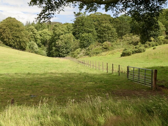
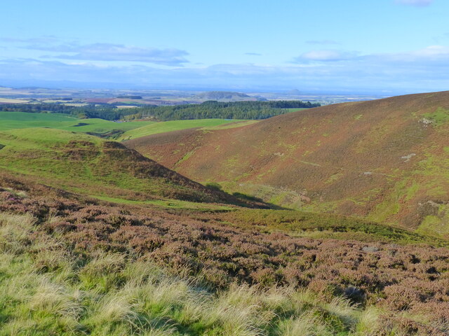
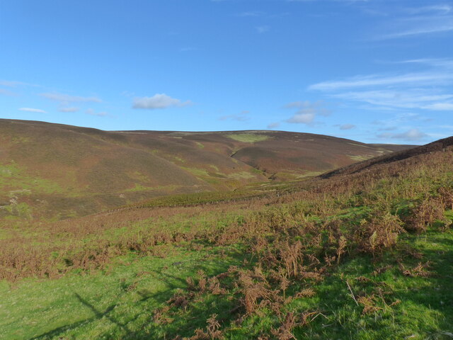
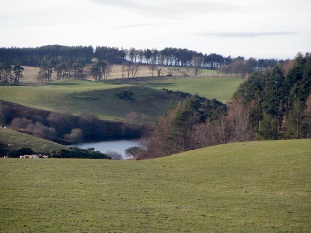
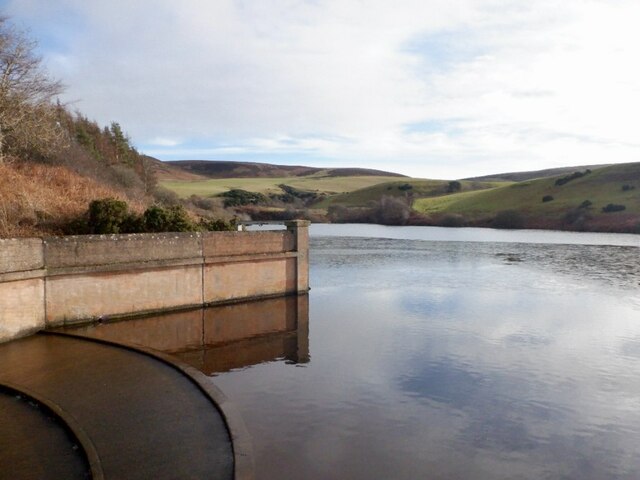
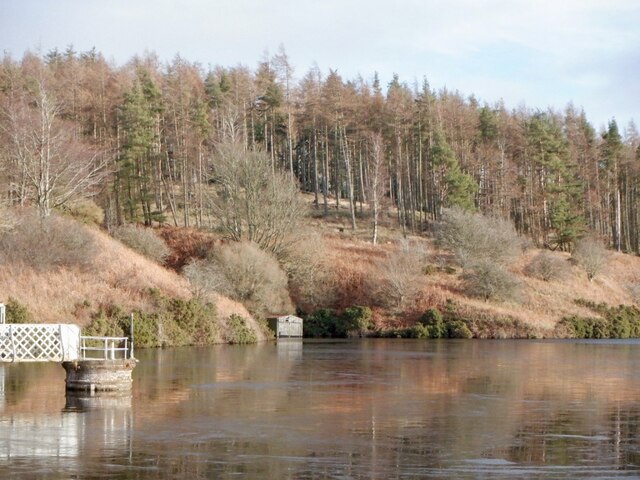
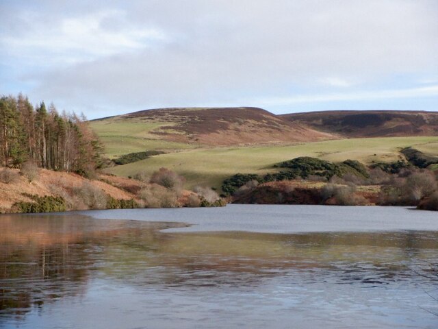
The Fen is a scenic area located in East Lothian, Scotland, known for its distinctive downs and moorland landscapes. Covering an expansive area, The Fen offers visitors a unique and diverse experience with its rich natural beauty and abundant wildlife.

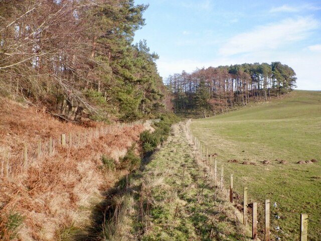
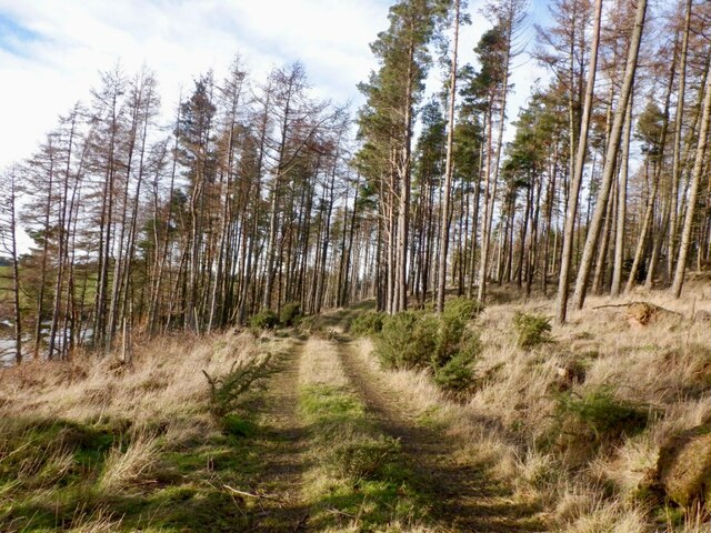
The downs of The Fen are characterized by rolling hills covered in vibrant green grasses, creating a picturesque backdrop. These hills are a result of centuries of erosion and weathering, giving the area a dramatic and undulating terrain. The downs provide an ideal setting for outdoor activities such as hiking, with numerous trails winding through the landscape, offering breathtaking views of the surrounding countryside.

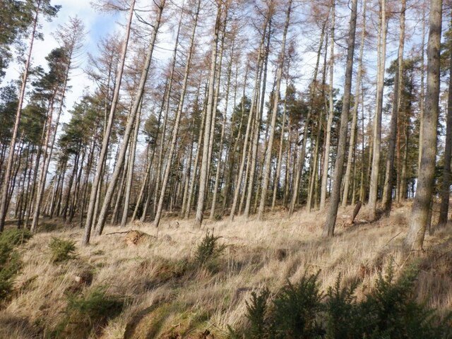
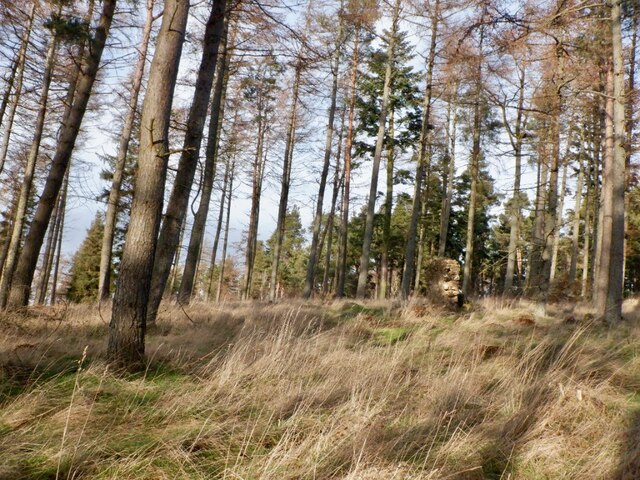
The moorland of The Fen is equally captivating, featuring vast stretches of heather and gorse that bloom in a colorful display during the summer months. This moorland ecosystem is home to a variety of plant and animal species, including rare birds such as the merlin and the short-eared owl. The area is also known for its diverse flora, with wildflowers such as orchids and primroses dotting the landscape.

Aside from its natural beauty, The Fen also boasts historical significance, with remnants of ancient settlements and burial sites scattered throughout the area. These archaeological sites provide a glimpse into the rich history and culture of the region.

Overall, The Fen in East Lothian offers visitors a captivating blend of downs and moorland landscapes, providing a stunning backdrop for outdoor enthusiasts, nature lovers, and history buffs alike.

If you have any feedback on the listing, please let us know in the comments section below.
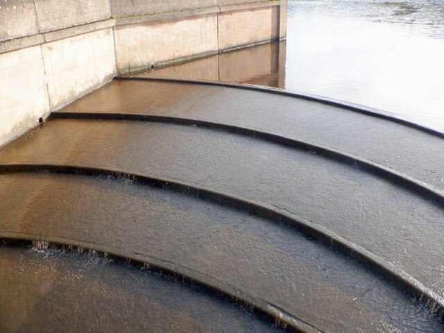
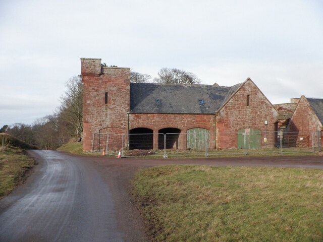
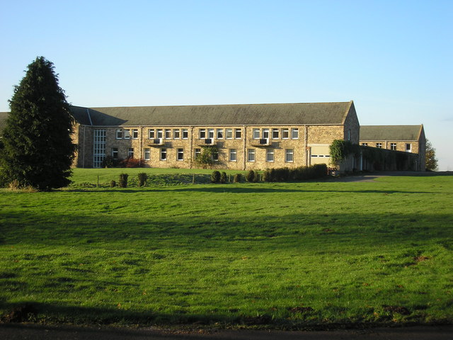
The Fen Images

Images are sourced within 2km of 55.907216/-2.6374661 or Grid Reference NT6068. Thanks to Geograph Open Source API. All images are credited.

Spring barley, Nunraw
Pasture, Nunraw
Pasture, Nunraw
Road to Garvald Climbing out of the Whiteadder catchment in the Lammermuir Hills. It is well surfaced at the moment but can at times be badly potholed.
Road to Garvald
Climbing out of the Whiteadder catchment in the Lammermuir Hills. It is well surfaced at the moment but can at times be badly potholed.
A single track road with passing places as it leaves the valley of Whiteadder Water The photo was taken from a stopping place for White Castle Fort.
A single track road with passing places as it leaves the valley of Whiteadder Water
The photo was taken from a stopping place for White Castle Fort.
Crash barriers at roadside close to White Castle Fort The side of this single track road is particularly steep close to the fort, as the contour lines on the Ordnance Survey map demonstrate.
Crash barriers at roadside close to White Castle Fort
The side of this single track road is particularly steep close to the fort, as the contour lines on the Ordnance Survey map demonstrate.
White Castle Fort and the valley of the Thorter Burn, near Garvald The photo was taken just a few metres away from the watershed between the valley of Whiteadder Water, and the valley of the Thorter Burn
White Castle Fort and the valley of the Thorter Burn, near Garvald
The photo was taken just a few metres away from the watershed between the valley of Whiteadder Water, and the valley of the Thorter Burn
White Castle Fort, near Garvald, East Lothian The valley of Thorter Burn can also be seen.
White Castle Fort, near Garvald, East Lothian
The valley of Thorter Burn can also be seen.
Looking across to the headwaters of the Thorter Burn, near Garvald
View towards Thorters Reservoir
Ditch, edge of Langlands Plantation
Track, Langlands Plantation The mapped road is blocked by windthrow further north, but there is a through route to the Thorters Reservoir dam.
Track, Langlands Plantation
The mapped road is blocked by windthrow further north, but there is a through route to the Thorters Reservoir dam.
Larches, Langlands Plantation
Ruin, Langlands Plantation Above Thorters Reservoir. It is shown as a ruin in open land on an 1853 map but not on any later editions.
Ruin, Langlands Plantation
Above Thorters Reservoir. It is shown as a ruin in open land on an 1853 map but not on any later editions.
Thorters Reservoir spillway Reservoir built to supply North Berwick.
Thorters Reservoir spillway
Reservoir built to supply North Berwick.
Thorters Reservoir Reservoir built to supply North Berwick.
Thorters Reservoir
Reservoir built to supply North Berwick.
Thorters Reservoir Reservoir built to supply North Berwick.
Thorters Reservoir
Reservoir built to supply North Berwick.
Thorters Reservoir Reservoir built to supply North Berwick.
Thorters Reservoir
Reservoir built to supply North Berwick.
Castle Moffat Empty steading, there was some work taking place on the roof.
Castle Moffat
Empty steading, there was some work taking place on the roof.
Show me another place!

The Fen is located at Grid Ref: NT6068 (Lat: 55.907216, Lng: -2.6374661)

Unitary Authority: East Lothian

Police Authority: The Lothians and Scottish Borders

What 3 Words

///superbly.nights.revolting. Near East Linton, East Lothian

Nearby Locations

The Fen

Related Wikis

Sancta Maria Abbey, Nunraw

Nunraw Abbey or Sancta Maria Abbey, Nunraw is a working Trappist (Ordo Cisterciensis Strictioris Observantiae) monastery. It was the first Cistercian house...

Garvald, East Lothian

Garvald is a village south-east of Haddington in East Lothian, Scotland. It lies on the Papana Water south of the B6370, east of Gifford. The combined...

Stoneypath Tower

Stoneypath Tower, is an L-plan tower house dating from the late sixteenth century, about 3.5 miles (5.6 km) south of East Linton, and east of the Whittinghame...

Black Castle, East Lothian

Black Castle, East Lothian is an Iron Age hillfort with a number of defensive banks, located 5 kilometres (3.1 mi) south-east of Gifford, East Lothian...

Nearby Amenities

Located within 500m of 55.907216,-2.6374661
Natural: peak
Lat/Long: 55.9095956/-2.6438141
The data included in this document is from www.openstreetmap.org. The data is made available under ODbL.

Have you been to The Fen?

Leave your review of The Fen below (or comments, questions and feedback).