Skirwith Low Moor

Downs, Moorland in Cumberland Eden

England

Skirwith Low Moor

Bridleway towards Crewgarth
Bridleway towards Crewgarth Credit: Ian S

Skirwith Low Moor is a picturesque area located in the county of Cumberland, England. Situated amidst the stunning landscape of the Lake District, it is known for its vast expanse of downs and moorland. With its rolling hills, heather-covered moors, and tranquil atmosphere, Skirwith Low Moor offers a haven for nature enthusiasts and hikers alike.

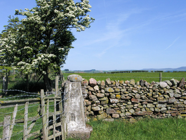
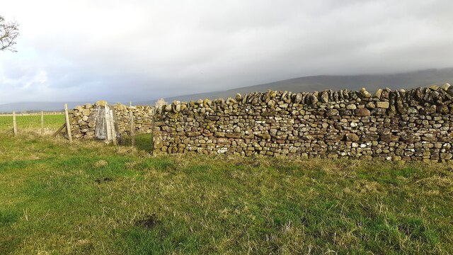
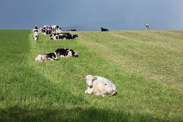
The moorland of Skirwith Low Moor is characterized by its wide open spaces and panoramic views. It is home to a diverse array of plant and animal species, including various types of grasses, mosses, and heather, as well as birds such as curlews and lapwings. The moorland also boasts several small streams and ponds, adding to its natural beauty.

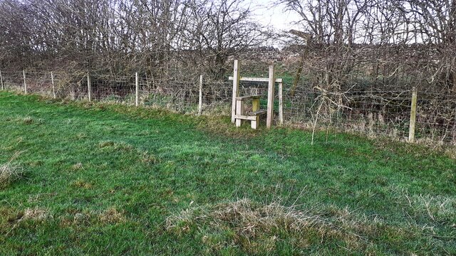
The area is crisscrossed by a network of footpaths and trails, making it a popular destination for walkers and hikers. These paths provide access to the stunning vistas and allow visitors to explore the moorland at their own pace. The rolling hills and gentle slopes make it suitable for all levels of fitness, offering both easy strolls and more challenging hikes.

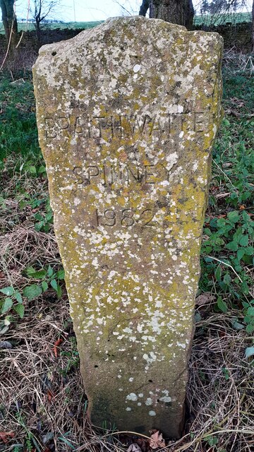
Skirwith Low Moor is also steeped in history, with ancient remains and archaeological sites scattered throughout the area. These include Bronze Age burial mounds, stone circles, and remnants of old settlements, providing a glimpse into the region's past.

Overall, Skirwith Low Moor is a captivating destination that showcases the natural beauty and rich history of Cumberland. Whether it's a leisurely walk, a challenging hike, or a journey into the past, this area offers something for every visitor to enjoy.

If you have any feedback on the listing, please let us know in the comments section below.

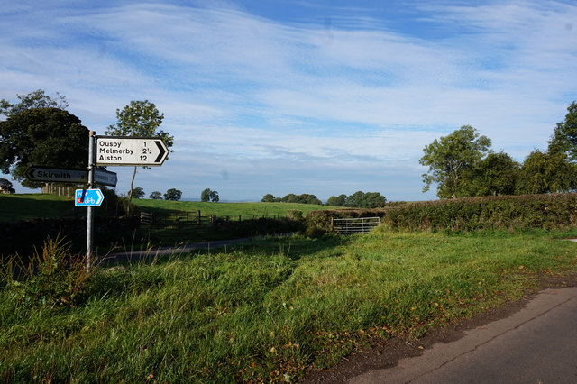
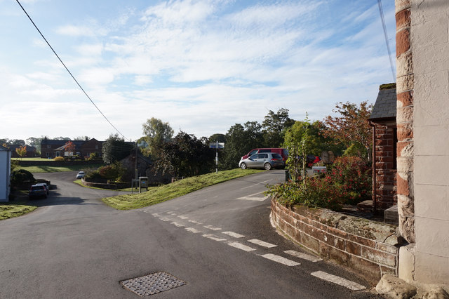
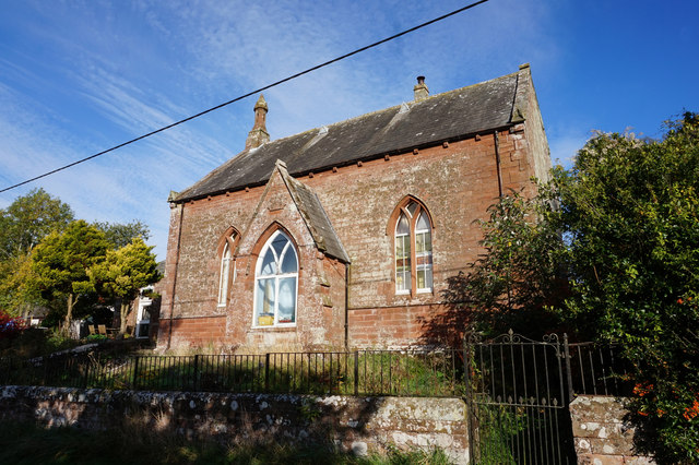
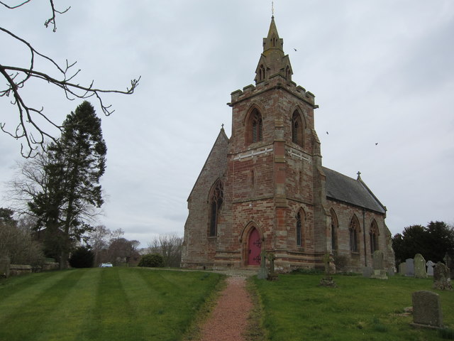
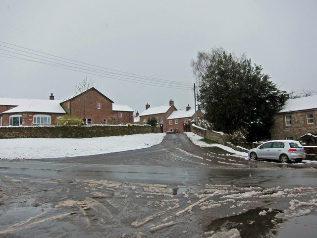
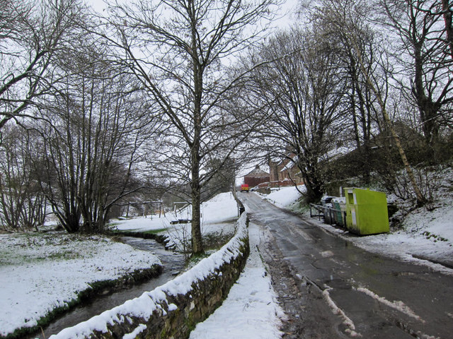
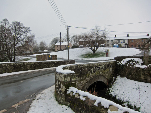
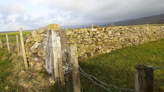
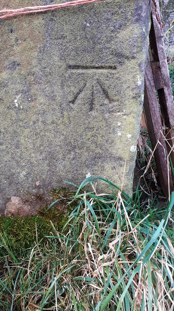
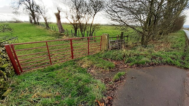
Skirwith Low Moor Images

Images are sourced within 2km of 54.69383/-2.6222355 or Grid Reference NY5933. Thanks to Geograph Open Source API. All images are credited.

Bridleway towards Crewgarth
Road sign near Skirwith
Crossroads at Skirwith
Former Chapel at Skirwith Built in 1868.
Former Chapel at Skirwith
Built in 1868.
Trig point at Jardens The trig point known to the OS as Jardens, flush bracket No. S6477, sits at the meeting of walling and fencing. It's on the land of Jardine's Farm.
Trig point at Jardens
The trig point known to the OS as Jardens, flush bracket No. S6477, sits at the meeting of walling and fencing. It's on the land of Jardine's Farm.
Skirwith, St John the Evangelist Built in red/cream sandstone in 1856 by the firm of Frederick John and Horace Francis in classic C19th Gothic Revival style. Grade 2 Listed.
Skirwith, St John the Evangelist
Built in red/cream sandstone in 1856 by the firm of Frederick John and Horace Francis in classic C19th Gothic Revival style. Grade 2 Listed.
Skirwith in the April snow Viewed from the foot of Church Street, looking up the road which leads to Skirwith Abbey.
Skirwith in the April snow
Viewed from the foot of Church Street, looking up the road which leads to Skirwith Abbey.
Church Street, Skirwith Unexpectedly decorated with snow in April.
Skirwith Beck on the left.
Church Street, Skirwith
Unexpectedly decorated with snow in April. Skirwith Beck on the left.
Bridge over Skirwith Beck Unexpectedly decorated with a covering of April snow.
Bridge over Skirwith Beck
Unexpectedly decorated with a covering of April snow.
Gateway across track leading to Staingills Farm The sign on the gate reads 'Bull in Field'. Ordnance Survey records indicate that a benchmark was levelled at 136.771m above Newlyn Datum on a gatepost here in 1962
Gateway across track leading to Staingills Farm
The sign on the gate reads 'Bull in Field'. Ordnance Survey records indicate that a benchmark was levelled at 136.771m above Newlyn Datum on a gatepost here in 1962
Ordnance Survey triangulation pillar in wall near Jardine's Farm
Dated stone in Braithwaite Spinney west of Jardine's Farm
Stile for footpath to road south of Sooty Hill Ordnance Survey documents indicate that a benchmark was levelled at 137.721m above Newlyn Datum on a gatepost (now missing) at this location
Stile for footpath to road south of Sooty Hill
Ordnance Survey documents indicate that a benchmark was levelled at 137.721m above Newlyn Datum on a gatepost (now missing) at this location
Benchmark on Jardens triangulation pillar Ordnance Survey flush bracket (serial identifier S6477) benchmark levelled at 150.604m above Newlyn Datum on 1 June 1972
Benchmark on Jardens triangulation pillar
Ordnance Survey flush bracket (serial identifier S6477) benchmark levelled at 150.604m above Newlyn Datum on 1 June 1972
Trig point in corner of field at Jardine's Farm There is an Ordnance Survey benchmark <a href="https://www.geograph.org.uk/photo/6714466">NY6035 : Benchmark on Jardens triangulation pillar</a> on the right hand face of the pillar, <span class="nowrap"><a title="http://trigpointing.uk/trig/4130" rel="nofollow ugc noopener" href="http://trigpointing.uk/trig/4130">Link</a><img style="margin-left:2px;" alt="External link" title="External link - shift click to open in new window" src="https://s1.geograph.org.uk/img/external.png" width="10" height="10"/></span>
Trig point in corner of field at Jardine's Farm
There is an Ordnance Survey benchmark NY6035 : Benchmark on Jardens triangulation pillar on the right hand face of the pillar, LinkExternal link
Benchmark on gatepost west of Jardine's Farm Ordnance Survey cut mark benchmark levelled at 144.401m above Newlyn Datum in 1972
Benchmark on gatepost west of Jardine's Farm
Ordnance Survey cut mark benchmark levelled at 144.401m above Newlyn Datum in 1972
Field gateway on south side of road west of Jardine's Farm There is an Ordnance Survey benchmark <a href="https://www.geograph.org.uk/photo/6714571">NY6034 : Benchmark on gatepost west of Jardine's Farm</a> on the stone gatepost at the far side of the gateway
Field gateway on south side of road west of Jardine's Farm
There is an Ordnance Survey benchmark NY6034 : Benchmark on gatepost west of Jardine's Farm on the stone gatepost at the far side of the gateway
Pasture, Culgaith A field to the west of Abbey Farm is being strip-grazed by dairy cattle.
Pasture, Culgaith
A field to the west of Abbey Farm is being strip-grazed by dairy cattle.
Show me another place!

Skirwith Low Moor is located at Grid Ref: NY5933 (Lat: 54.69383, Lng: -2.6222355)

Administrative County: Cumbria

District: Eden

Police Authority: Cumbria

What 3 Words

///cave.mysteries.pounds. Near Penrith, Cumbria

Related Wikis

Skirwith

Skirwith is a village and former civil parish, now in the parish of Culgaith, in the Eden district, in the county of Cumbria, England. In 1931 the parish...

Skirwith Abbey

Skirwith Abbey is a country house in Skirwith, Cumbria, England. The House is a two-storey house of five by three bays, built by Thomas Addison, mason...

Langwathby railway station

Langwathby is a railway station on the Settle and Carlisle Line, which runs between Carlisle and Leeds via Settle. The station, situated 19 miles 59 chains...

Ousby

Ousby is a village and civil parish in Eden district, in the English county of Cumbria. It is a Thankful Village, one of 52 parishes in England and Wales...

Have you been to Skirwith Low Moor?

Leave your review of Skirwith Low Moor below (or comments, questions and feedback).