Wimberry Slade
Downs, Moorland in Gloucestershire Forest of Dean
England
Wimberry Slade
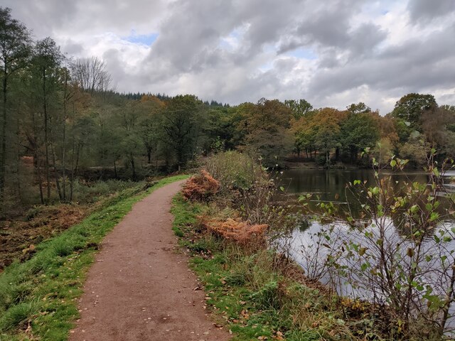
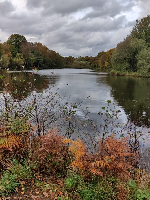
Wimberry Slade is a picturesque area located in the county of Gloucestershire, England. Situated amidst the rolling hills of the Cotswolds, it is characterized by its stunning downs and moorland landscape. The slade is renowned for its natural beauty, attracting both locals and tourists alike.
The downs of Wimberry Slade offer breathtaking panoramic views, with their gently sloping grassy hills stretching as far as the eye can see. These downs are a haven for nature lovers, as they are home to a diverse range of flora and fauna. Visitors can often spot grazing sheep and wild horses roaming freely across the vast open spaces.
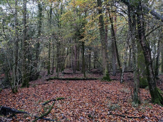
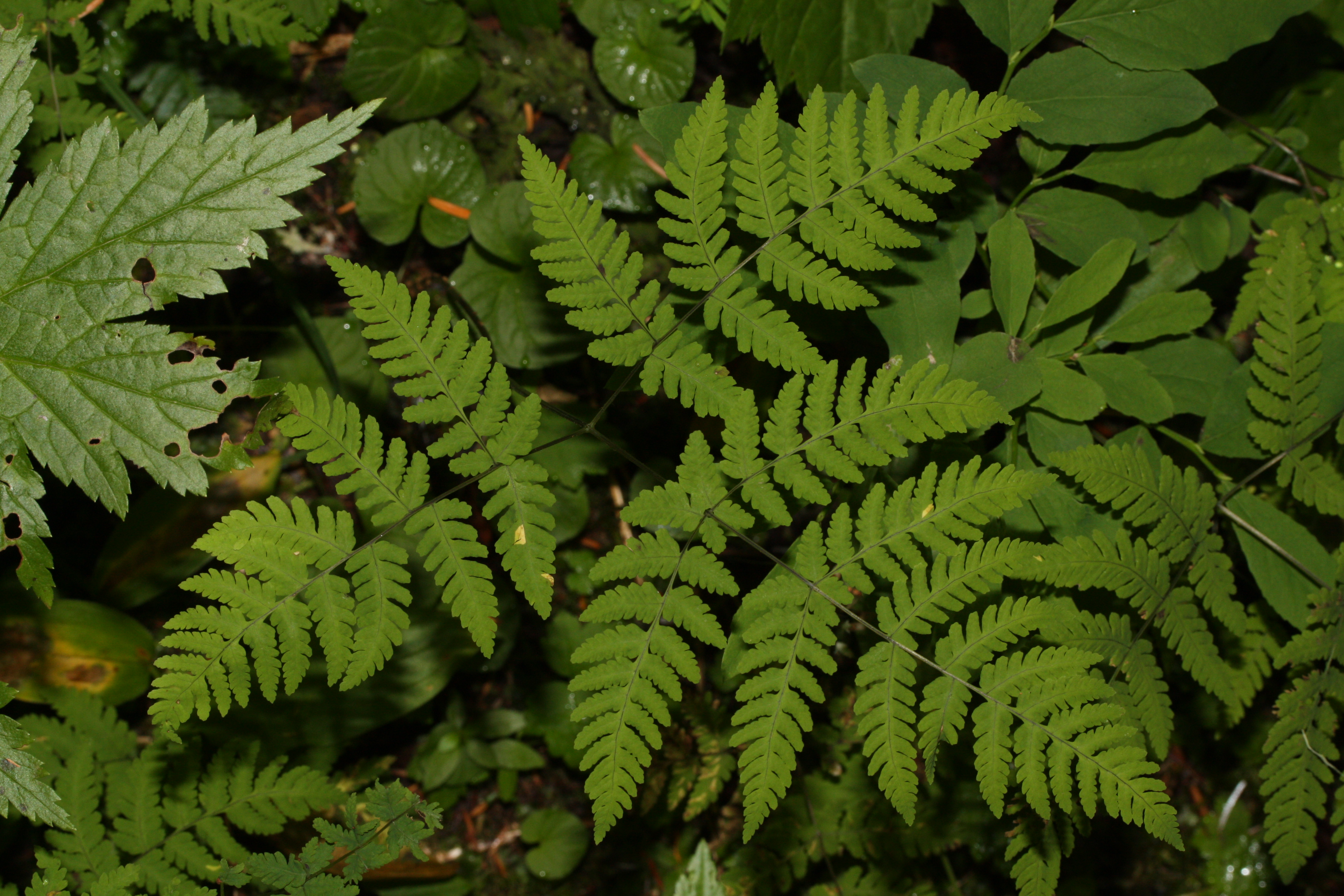
The moorland in Wimberry Slade adds another layer of natural beauty to the area. With its heather-covered expanses and scattered clusters of trees, the moorland provides a serene and tranquil atmosphere. It is a paradise for birdwatchers, as several species of birds, including the elusive nightjar, can be found here.
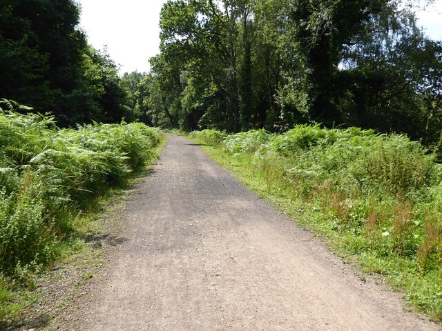
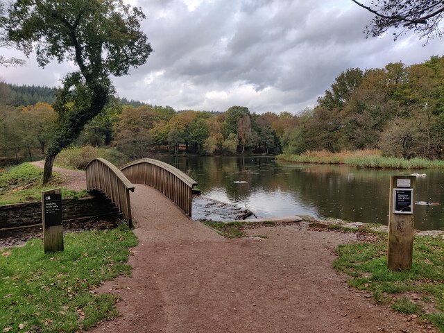
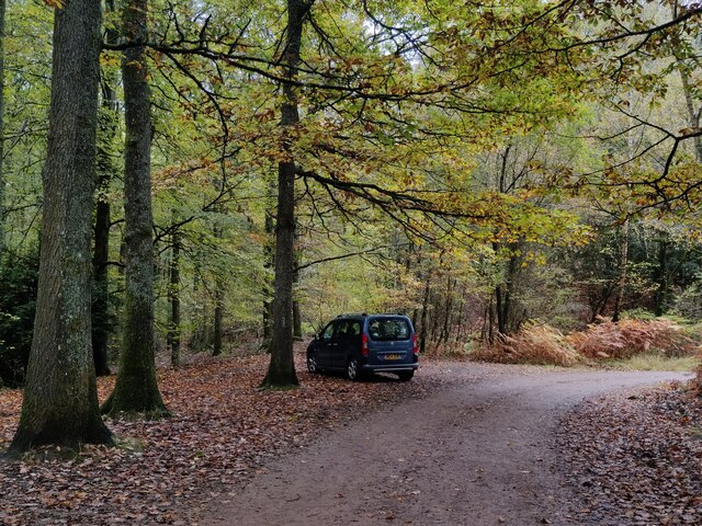
Wimberry Slade offers numerous walking trails and hiking routes, allowing visitors to explore the area at their own pace. Whether it's a leisurely stroll or a challenging hike, there are options to suit all abilities. The slade also provides ample opportunities for outdoor activities such as picnicking, photography, and even horseback riding.
In conclusion, Wimberry Slade in Gloucestershire is a stunning natural landscape characterized by its downs and moorland. With its panoramic views, diverse wildlife, and a range of outdoor activities, it is a destination that appeals to those seeking a peaceful escape in the heart of the English countryside.
If you have any feedback on the listing, please let us know in the comments section below.
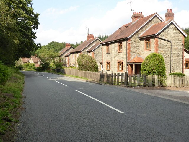
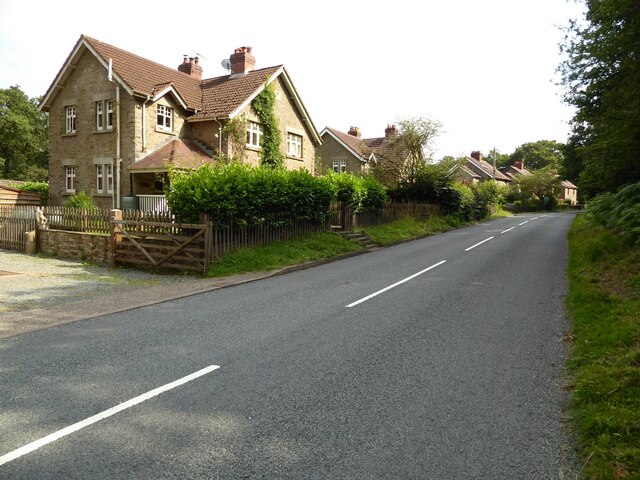
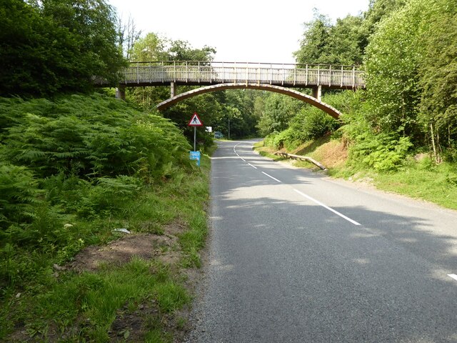
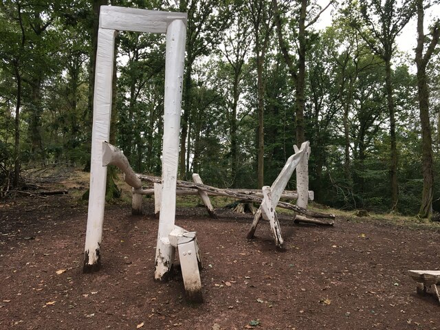
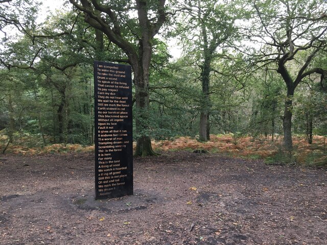
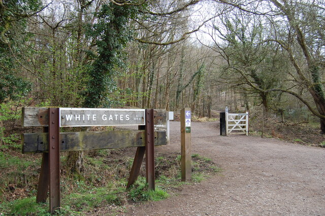
Wimberry Slade Images
Images are sourced within 2km of 51.807563/-2.5818553 or Grid Reference SO5912. Thanks to Geograph Open Source API. All images are credited.


Wimberry Slade is located at Grid Ref: SO5912 (Lat: 51.807563, Lng: -2.5818553)
Administrative County: Gloucestershire
District: Forest of Dean
Police Authority: Gloucestershire
What 3 Words
///sprint.crossword.majority. Near Coleford, Gloucestershire
Nearby Locations
Related Wikis
Wimberry Quarries
Wimberry Quarries (grid reference SO594121) is a 2-hectare (4.9-acre) nature reserve in Gloucestershire in the Forest of Dean.The site is held under agreement...

Edge End, Gloucestershire
Edge End is a small hamlet in west Gloucestershire, England. == Location and amenities == Edge End is about 1.5 miles NW of Coleford and about 1 mile north...

Speech House Road railway station
Speech House Road railway station is a disused railway station opened by the former Severn and Wye Railway in 1875, it remained open for 88 years until...

Mile End, Gloucestershire
Mile End is a small village in the English county of Gloucestershire. It belongs to the civil parish of Coleford, which is also its post town. Mile End...
Broadwell, Forest of Dean
Broadwell is a village about 1 mile (1.6 km) east of Coleford, Gloucestershire, England. It is at the western edge of the Forest of Dean, in the civil...

Royal Forest of Dean College
Royal Forest of Dean College was a college of further education located close to the town of Coleford, in the Forest of Dean in west Gloucestershire. It...
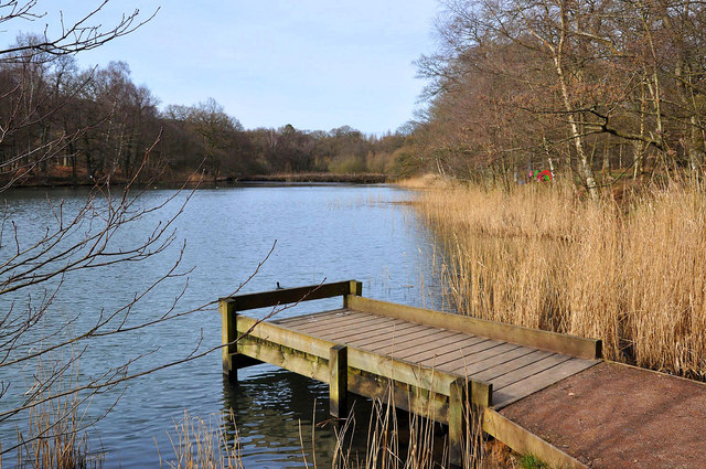
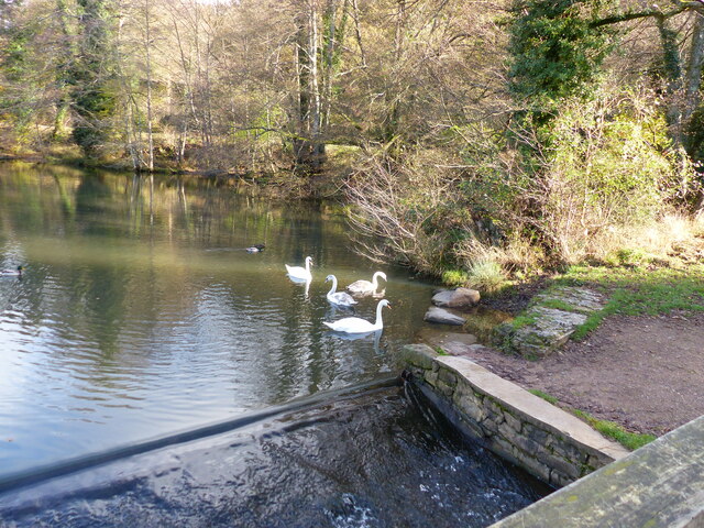
Cannop Ponds
Cannop Ponds (grid reference SO608106) are two large ponds, just north of Parkend in the Forest of Dean, Gloucestershire, England. The ponds, and surrounding...
Five Acres High School
Five Acres High School, formerly Lakers School, is an academy in Coleford, Gloucestershire. Simon Phelps is the Headteacher, Five Acres is an Academy which...
Related Videos
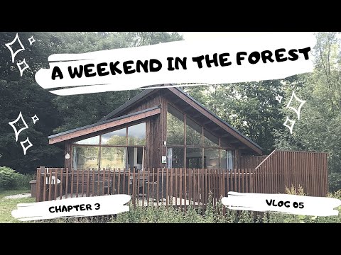
Forest Holiday Vlog Forest of Dean
A Forest Holiday vlog in the forest of dean. With everything that has happened with lockdown and travel bans etc, I decided to ...

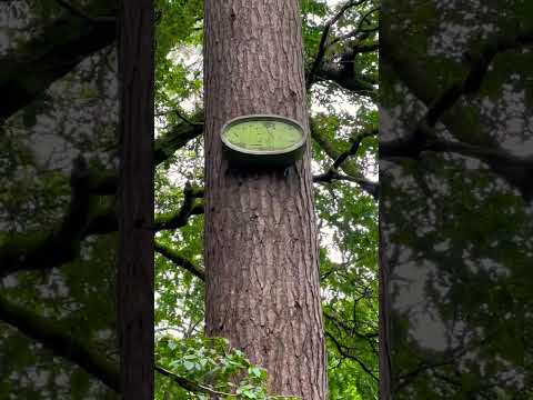
Forest of Dean Sculpture Trail Tour: Walking Amongst Unique Art and Nature
The Forest of Dean sculpture trail, started in 1986, is home to 16 relatively permanent, and a handful of temporary, utterly unique ...
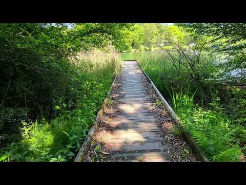
Walking at Cannop Ponds, West Dean, Lydney. #walks #walking #nature
Walking at Cannop Ponds, West Dean, Lydney, GL16 7BL The site was originally home to the Severn and Wye Railway, which ...
Nearby Amenities
Located within 500m of 51.807563,-2.5818553Have you been to Wimberry Slade?
Leave your review of Wimberry Slade below (or comments, questions and feedback).