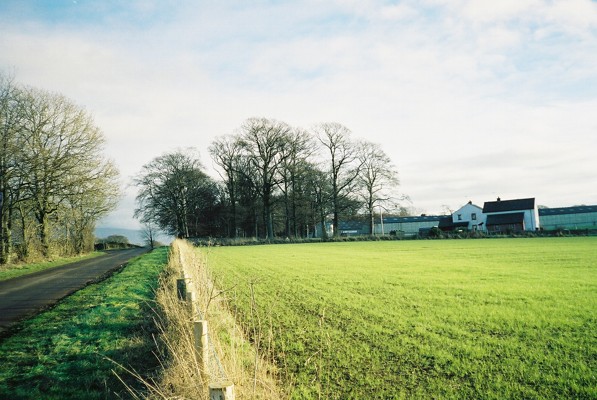
Hopehill Woods
Wood, Forest in Cumberland Eden
England
Hopehill Woods
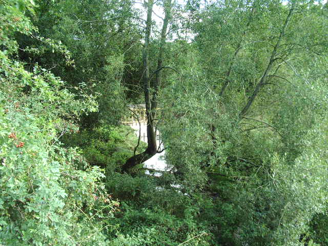
Hopehill Woods, Cumberland, also known as Hopehill Wood or Hopehill Forest, is a picturesque woodland located in the county of Cumberland in northwest England. Spanning an area of approximately 200 acres, this enchanting forest is nestled within the scenic countryside, offering a serene and peaceful retreat for nature lovers and outdoor enthusiasts.
The woodland is characterized by its diverse range of tree species, including oak, beech, birch, and chestnut, which create a rich tapestry of colors throughout the seasons. The forest floor is adorned with a blanket of wildflowers, providing a haven for numerous species of insects, birds, and small mammals.
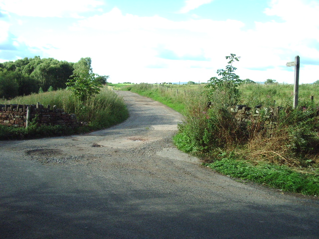
Traversing through Hopehill Woods, visitors can explore a network of well-maintained walking trails, allowing for leisurely strolls or more adventurous hikes. The trails wind their way through the dense foliage, leading to hidden clearings, babbling brooks, and picturesque viewpoints. Along the way, one may encounter an array of wildlife, such as deer, foxes, and various species of birds.
The management of Hopehill Woods is committed to preserving its natural beauty and maintaining a harmonious balance between human activity and wildlife habitat. As such, the forest is a designated nature reserve, ensuring the protection of its flora and fauna.
Aside from its natural wonders, Hopehill Woods also offers amenities such as picnic areas, benches, and information boards, providing visitors with the opportunity to relax and learn more about the woodland's ecology and history.
Whether seeking solitude, seeking an outdoor adventure, or simply wishing to immerse oneself in the tranquility of nature, Hopehill Woods is a captivating destination that promises to enchant and rejuvenate all who visit.
If you have any feedback on the listing, please let us know in the comments section below.
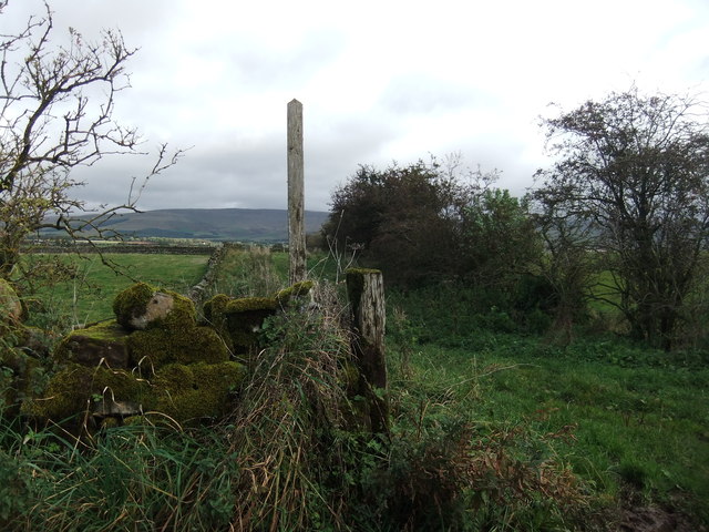
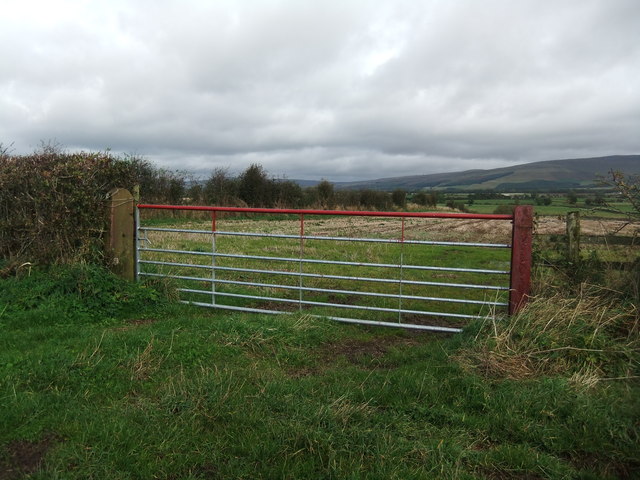
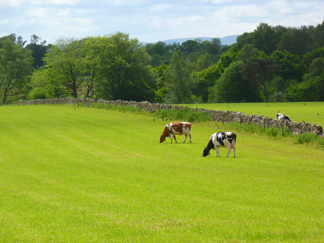
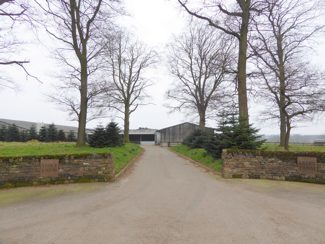
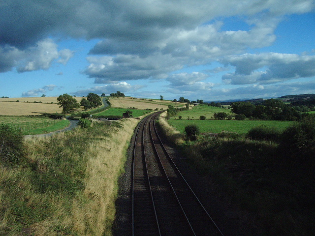
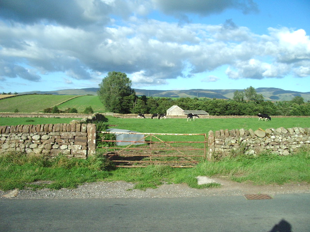
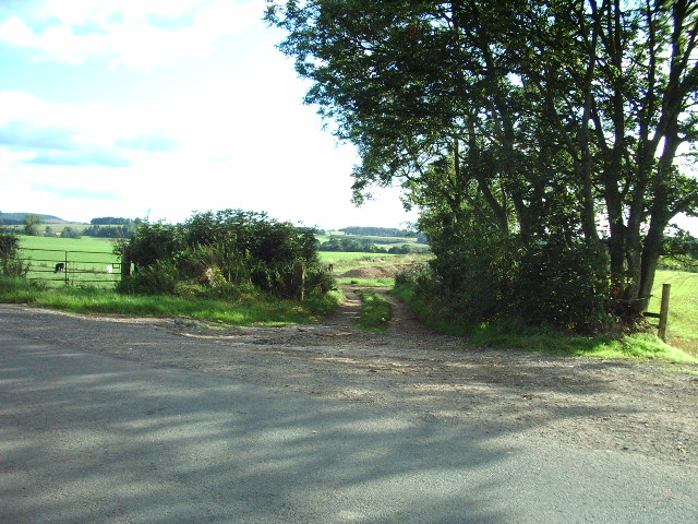
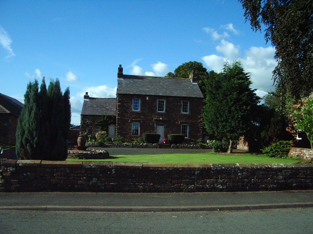
Hopehill Woods Images
Images are sourced within 2km of 54.692223/-2.6357701 or Grid Reference NY5933. Thanks to Geograph Open Source API. All images are credited.


Hopehill Woods is located at Grid Ref: NY5933 (Lat: 54.692223, Lng: -2.6357701)
Administrative County: Cumbria
District: Eden
Police Authority: Cumbria
What 3 Words
///trespass.crunchy.refilled. Near Penrith, Cumbria
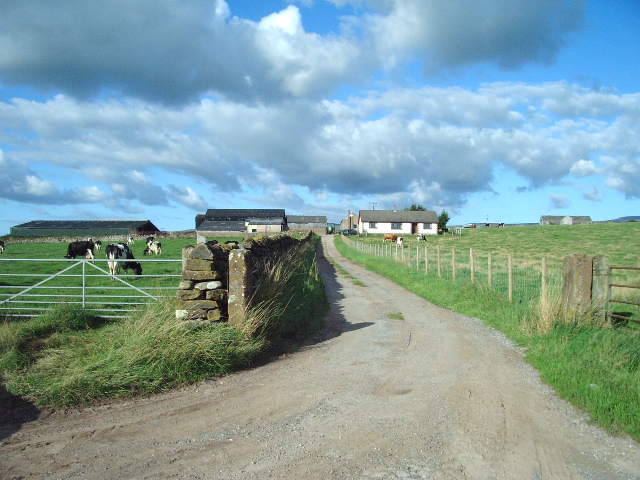
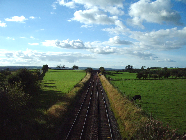
Nearby Locations
Related Wikis

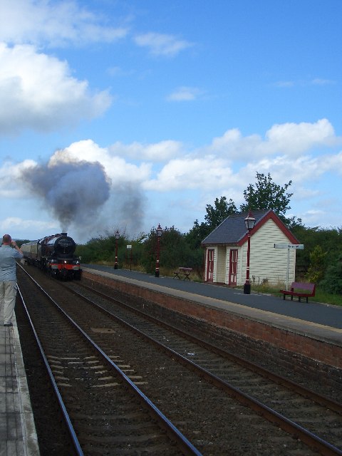
Langwathby railway station
Langwathby is a railway station on the Settle and Carlisle Line, which runs between Carlisle and Leeds via Settle. The station, situated 19 miles 59 chains...

Langwathby
Langwathby is a village and civil parish in northern Cumbria, and in the historic English county of Cumberland, about 5 miles (8 km) north east of Penrith...

St Cuthbert's Church, Edenhall
St Cuthbert's Church is located near the village of Edenhall, Cumbria, England. It is an active Anglican parish church in the deanery of Penrith, the...
Edenhall
Edenhall is a clustered village and former civil parish, now in the south-west of the parish of Langwathby, 800m to the north in the Westmorland and Furness...

Skirwith
Skirwith is a village and former civil parish, now in the parish of Culgaith, in the Eden district, in the county of Cumbria, England. In 1931 the parish...

Hunsonby
Hunsonby is a village and civil parish in the Eden district of Cumbria, England, 7 miles (11 km) north east of Penrith. The parish is located 28 miles...

Skirwith Abbey
Skirwith Abbey is a country house in Skirwith, Cumbria, England. The House is a two-storey house of five by three bays, built by Thomas Addison, mason...

River Eamont
The River Eamont is a river in Cumbria, England and one of the major tributaries of the River Eden. The name of the river is from Old English (ēa-gemōt...
Nearby Amenities
Located within 500m of 54.692223,-2.6357701Have you been to Hopehill Woods?
Leave your review of Hopehill Woods below (or comments, questions and feedback).