Ousby Moor
Downs, Moorland in Cumberland Eden
England
Ousby Moor
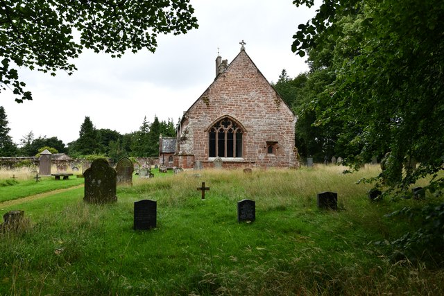
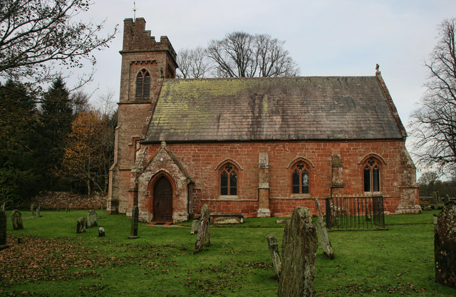
![Church of St John the Baptist, Melmerby Not a very interesting looking church from the outside, and Pevsner [Buildings of England - Cumberland & Westmorland] describes it in just 7 lines, but even he seemed unsure if most of the building is of 1849 or 1895.](https://s1.geograph.org.uk/geophotos/07/02/09/7020961_42d7b5c4.jpg)
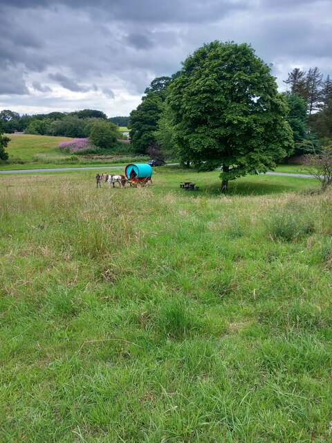
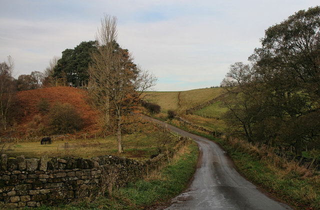
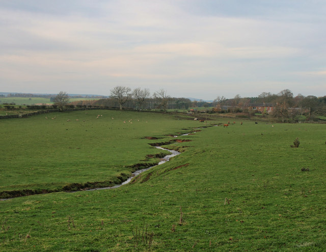
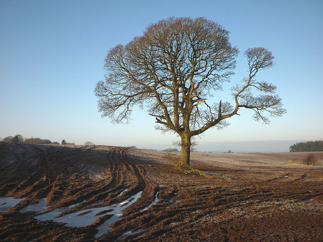
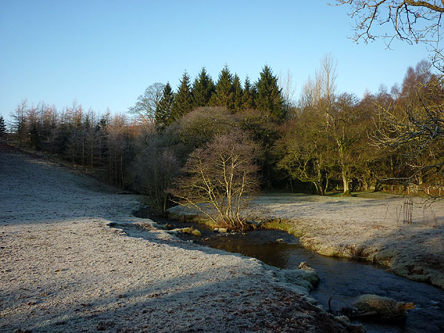
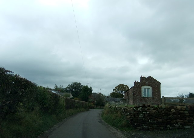
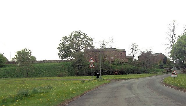
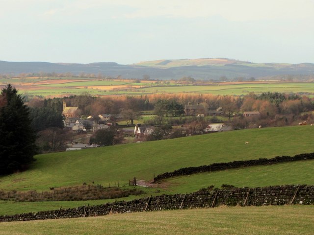
Ousby Moor, located in the county of Cumberland in northwest England, is a picturesque expanse of downs and moorland that spans approximately 2 square kilometers. Situated within the North Pennines Area of Outstanding Natural Beauty, it offers visitors a serene and unspoiled landscape to explore.
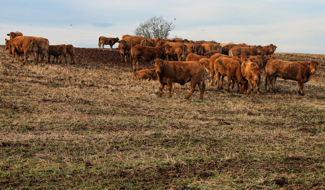
The moor is characterized by its rolling hills and open spaces, covered in a patchwork of heather, grasses, and bracken. These natural elements create a stunning palette of colors, ranging from vibrant purples and greens in the summer to fiery oranges and browns in the autumn months.
The terrain of Ousby Moor is relatively flat, making it accessible for walkers of all abilities. There are several footpaths and trails that allow visitors to traverse the area, offering breathtaking views of the surrounding countryside. Birdwatchers will also find Ousby Moor to be a haven, as it is home to a variety of bird species, including curlews, lapwings, and golden plovers.
In addition to its natural beauty, Ousby Moor also holds historical significance. The area is dotted with remnants of past human activity, such as ancient settlements, stone circles, and burial mounds. These archaeological features provide a glimpse into the lives of those who inhabited the region centuries ago.
Overall, Ousby Moor is a tranquil and enchanting destination, offering visitors a chance to immerse themselves in the beauty of nature and explore the rich history of the Cumberland region.
If you have any feedback on the listing, please let us know in the comments section below.
Ousby Moor Images
Images are sourced within 2km of 54.716053/-2.6225449 or Grid Reference NY5935. Thanks to Geograph Open Source API. All images are credited.
Ousby Moor is located at Grid Ref: NY5935 (Lat: 54.716053, Lng: -2.6225449)
Administrative County: Cumbria
District: Eden
Police Authority: Cumbria
What 3 Words
///cookbooks.rummage.retract. Near Penrith, Cumbria
Nearby Locations
Related Wikis

Hunsonby
Hunsonby is a village and civil parish in the Eden district of Cumbria, England, 7 miles (11 km) north east of Penrith. The parish is located 28 miles...

Melmerby, Cumbria
Melmerby is a village and civil parish in the Eden district, in the county of Cumbria, England. It is a small village with a population of around 200....

Glassonby
Glassonby is a small village and civil parish in the Eden Valley of Cumbria, England, about 3 miles (4.8 km) south south east of Kirkoswald. At the 2001...
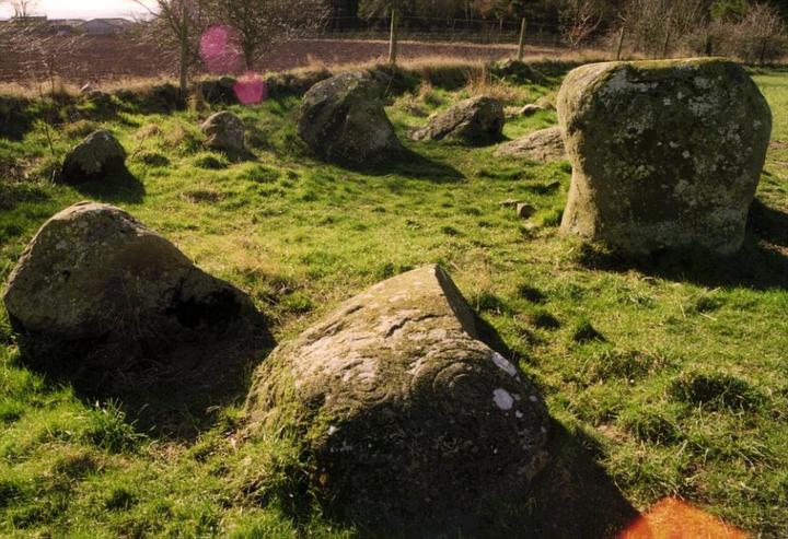
Little Meg
Little Meg (also known as the Maughanby circle) is a small circle of large kerb stones which probably surrounded a Bronze Age kerb cairn. It is close...
Nearby Amenities
Located within 500m of 54.716053,-2.6225449Have you been to Ousby Moor?
Leave your review of Ousby Moor below (or comments, questions and feedback).