The Moors

Downs, Moorland in Herefordshire

England

The Moors

Track and footpath Track and footpath at Kiln Green above the Wye valley.
Track and footpath Credit: Philip Halling

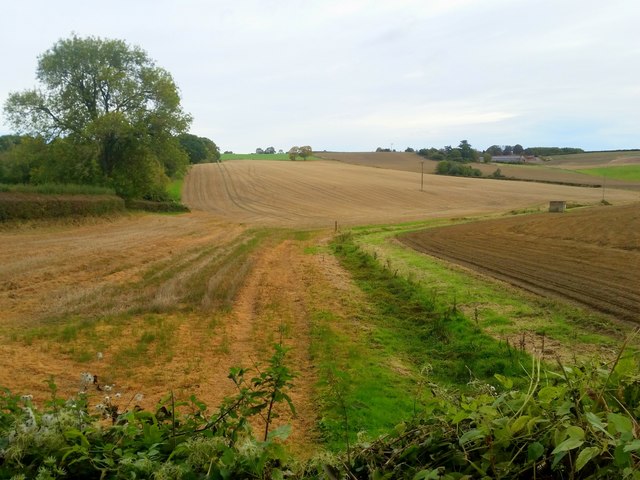
The Moors in Herefordshire is a picturesque expanse of land located in the west of England. Spanning over vast acres, this area is predominantly characterized by its undulating downs and moorland terrain. The Moors is situated in the county of Herefordshire, known for its rural charm and beautiful landscapes.

The Moors boasts an incredibly diverse ecosystem, harboring a wide range of flora and fauna. Its low-lying hills, covered in heather and grasses, create a striking contrast against the clear blue skies above. The moorland is dotted with numerous small streams and patches of woodland, adding to the area's natural beauty. This unique blend of habitats provides a haven for a variety of wildlife, including birds, insects, and mammals.

Visitors to The Moors can enjoy a multitude of outdoor activities, such as hiking, birdwatching, and photography. The extensive network of footpaths and trails allows for easy exploration of the area, providing breathtaking views at every turn. The Moors also offers a tranquil escape from the hustle and bustle of city life, making it a popular destination for those seeking peace and solitude.

The Moors, Herefordshire, is a true testament to the natural beauty of the English countryside. With its rolling downs, expansive moorland, and thriving wildlife, this area is a must-visit for nature enthusiasts and those looking to immerse themselves in the serenity of the great outdoors.

If you have any feedback on the listing, please let us know in the comments section below.
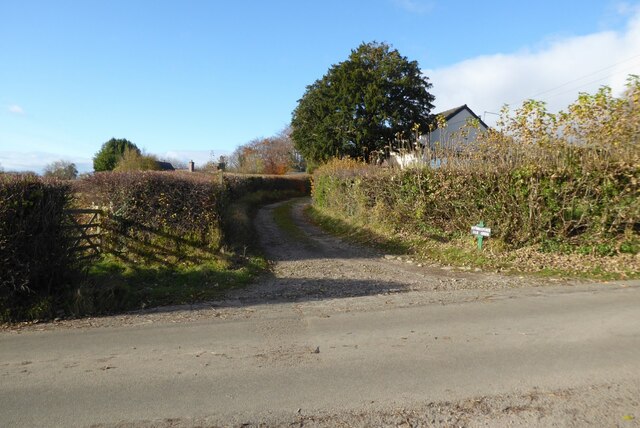
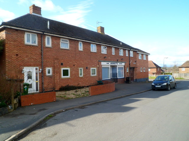
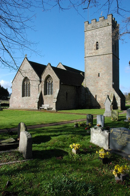
The Moors Images

Images are sourced within 2km of 51.88594/-2.5958129 or Grid Reference SO5920. Thanks to Geograph Open Source API. All images are credited.

Track and footpath Track and footpath at Kiln Green above the Wye valley.
Track and footpath
Track and footpath at Kiln Green above the Wye valley.
South Herefordshire countryside Arable land near Kiln Green. A dry seasonal watercourse in the foreground.
South Herefordshire countryside
Arable land near Kiln Green. A dry seasonal watercourse in the foreground.
Kiln Green Rolling countryside viewed from near Great Howle farm on a cold crisp morning.
In the distance are The Skirrid and Sugarloaf, well over 20km distant.
Kiln Green
Rolling countryside viewed from near Great Howle farm on a cold crisp morning. In the distance are The Skirrid and Sugarloaf, well over 20km distant.
Welcome to Ross-on-Wye!
The Homme at Hom Green
Frost protection near Walford Goodrich Castle can be seen in the background on the far side of the River Wye.
Frost protection near Walford
Goodrich Castle can be seen in the background on the far side of the River Wye.
Walford church from lower Coppet Hill
Turning for Howie Hill
Approach to Walford
Approach to Walford
The disused railway line in Ross-on-Wye Now a pleasant walkway between back gardens through a suburb of Ross.
The disused railway line in Ross-on-Wye
Now a pleasant walkway between back gardens through a suburb of Ross.
Outer Ward of Goodrich Castle The Outer Ward on the northern side of Goodrich Castle.
Outer Ward of Goodrich Castle
The Outer Ward on the northern side of Goodrich Castle.
Wye valley floor Viewed from the rear of The Mill Race. Walford Sawmills yard can be seen.
Wye valley floor
Viewed from the rear of The Mill Race. Walford Sawmills yard can be seen.
Hill Court autumn colour This grand Georgian country house is also the European Headquarters for the German-owned plastics manufacturer, Rehau.
<span class="nowrap"><a title="http://www.rehau.com/group_en/" rel="nofollow ugc noopener" href="http://www.rehau.com/group_en/">Link</a><img style="margin-left:2px;" alt="External link" title="External link - shift click to open in new window" src="https://s1.geograph.org.uk/img/external.png" width="10" height="10"/></span>
Hill Court autumn colour
This grand Georgian country house is also the European Headquarters for the German-owned plastics manufacturer, Rehau. LinkExternal link
January shoot The guns (and dog) are watching the beaters working the hedgerow from left to right at the top of the field.
January shoot
The guns (and dog) are watching the beaters working the hedgerow from left to right at the top of the field.
Footprints in the snow Outside the north wall of Goodrich Castle
Footprints in the snow
Outside the north wall of Goodrich Castle
The River Wye The view from Goodrich Castle keep
The River Wye
The view from Goodrich Castle keep
North wall of Goodrich Castle
Audrey's Fish Bar, Tudorville, Ross-on-Wye The fish bar is at 2 Tudor Rise, near the junction with the B4234 Walford Road in  south Ross-on-Wye.
Audrey's Fish Bar, Tudorville, Ross-on-Wye
The fish bar is at 2 Tudor Rise, near the junction with the B4234 Walford Road in south Ross-on-Wye.
Show me another place!

The Moors is located at Grid Ref: SO5920 (Lat: 51.88594, Lng: -2.5958129)

Unitary Authority: County of Herefordshire

Police Authority: West Mercia

What 3 Words

///tonality.slices.guess. Near Walford, Herefordshire

Related Wikis

Walford Halt railway station

Walford Halt railway station is a disused halt on the Ross and Monmouth Railway constructed near the Herefordshire village of Walford. It also served the...

Walford, Ross-on-Wye

Walford is a village and civil parish in south Herefordshire, England, two miles south of the market town of Ross-on-Wye. It includes the settlements of...
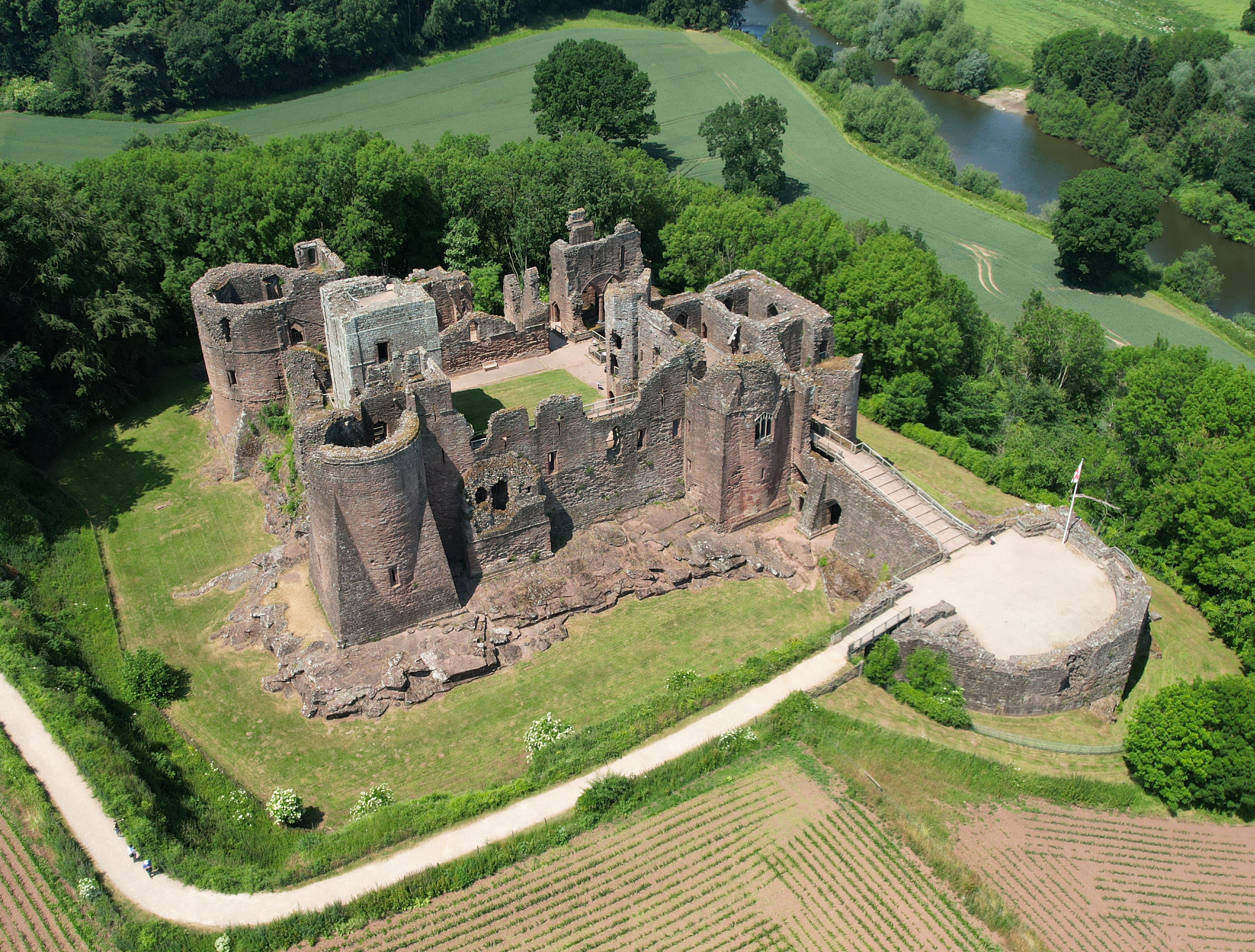
Goodrich Castle

Goodrich Castle is a Norman medieval castle ruin north of the village of Goodrich in Herefordshire, England, controlling a key location between Monmouth...

Hill Court Manor

Hill Court Manor (grid reference SO574216) is a country house built in 1700 at Hom Green, Walford near Ross-on-Wye in Herefordshire. The house is a Grade...

Nearby Amenities

Located within 500m of 51.88594,-2.5958129
Bus Stop
Primary School
Naptan AtcoCode: 2090A20069
Naptan Bearing: S
Naptan CommonName: Primary School
Naptan Indicator: adj
Naptan Landmark: Walford Primary School
Naptan NaptanCode: heramwjt
Naptan Street: B4234
Naptan Verified: no
Source: naptan_import
Lat/Long: 51.8861347/-2.5936123
Bus Stop
Primary School
Naptan AtcoCode: 2090A20071
Naptan Bearing: N
Naptan BusStopType: CUS
Naptan CommonName: Primary School
Naptan Indicator: opp
Naptan Landmark: Walford Primary School
Naptan NaptanCode: heramwjw
Naptan Street: B4234
Naptan Verified: no
Source: naptan_import
Lat/Long: 51.8861424/-2.5938594
Power: tower
Source: Bing
Lat/Long: 51.8903649/-2.59456
Power: tower
Source: Bing
Lat/Long: 51.8868998/-2.5996139
Power: tower
Source: Bing
Lat/Long: 51.8871881/-2.5926545
Power: tower
Source: Bing
Lat/Long: 51.8866114/-2.5958851
Power: tower
Source: Bing
Lat/Long: 51.8877159/-2.5894811
Power: tower
Source: Bing
Lat/Long: 51.8891975/-2.5994775
Post Box
Operator: Royal Mail
Post Box Type: lamp
Ref: HR9 665
Royal Cypher: EIIR
Royal Cypher Wikidata: Q33102113
Lat/Long: 51.8859517/-2.5937618
Ford: yes
Lat/Long: 51.8861806/-2.5908182
Barrier: stile
Lat/Long: 51.8834772/-2.5914792
Location Transition: yes
Power: pole
Lat/Long: 51.8871321/-2.5947382
Coughton Marsh
Power: pole
Transformer: distribution
Voltage Primary: 11000
Lat/Long: 51.8884333/-2.5995219
Power: pole
Lat/Long: 51.8882462/-2.5980668
Power: pole
Lat/Long: 51.8880538/-2.5965124
Power: pole
Lat/Long: 51.8878717/-2.5950808
Power: pole
Lat/Long: 51.8885649/-2.595402
Power: pole
Lat/Long: 51.8891356/-2.5953705
Power: pole
Lat/Long: 51.8895983/-2.5919715
Power: pole
Lat/Long: 51.8892995/-2.5921498
Power: pole
Lat/Long: 51.8894166/-2.5932334
Power: pole
Lat/Long: 51.88953/-2.5942473
Power: pole
Lat/Long: 51.8896525/-2.5953195
Power: pole
Lat/Long: 51.8896769/-2.5953148
The data included in this document is from www.openstreetmap.org. The data is made available under ODbL.

Have you been to The Moors?

Leave your review of The Moors below (or comments, questions and feedback).