Crabtree Green

Downs, Moorland in Cheshire

England

Crabtree Green

Shemmy Moss from the Whitegate Way As near to wilderness as you are likely to find in Cheshire, this is undeveloped wetland.
Shemmy Moss from the Whitegate Way Credit: Stephen Craven

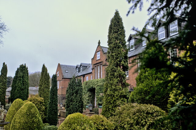
Crabtree Green is a picturesque village situated in Cheshire, England. Nestled amidst the Downs and Moorland, this charming village offers a tranquil and idyllic setting for residents and visitors alike. With its beautiful landscapes and rich history, Crabtree Green is a popular destination for nature enthusiasts and history buffs.

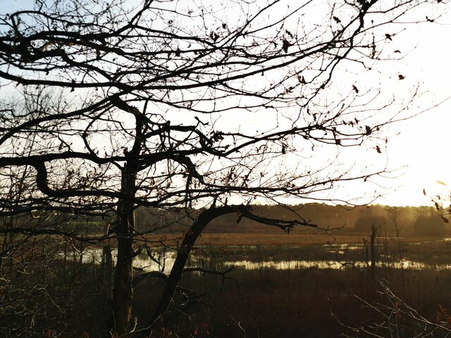
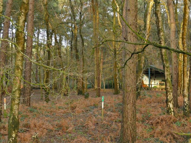
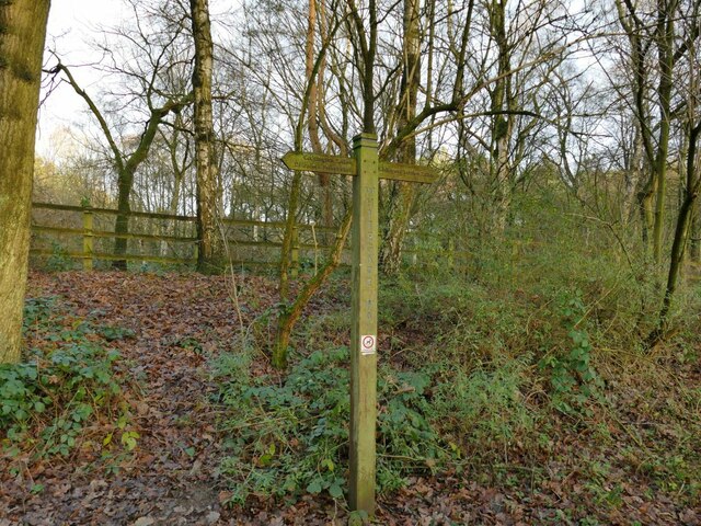
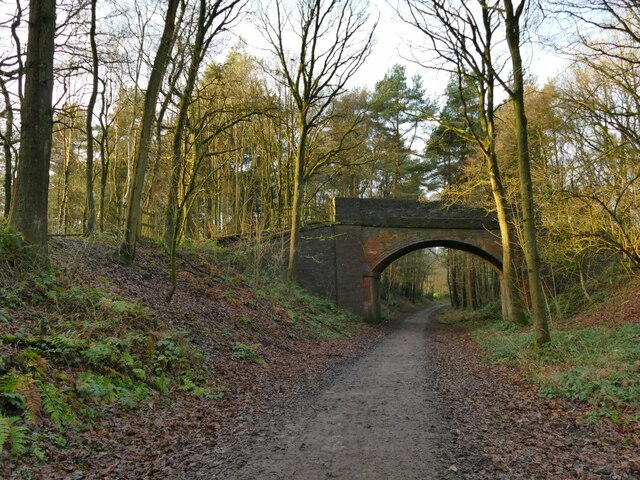
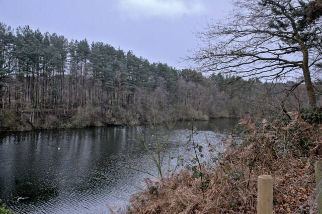
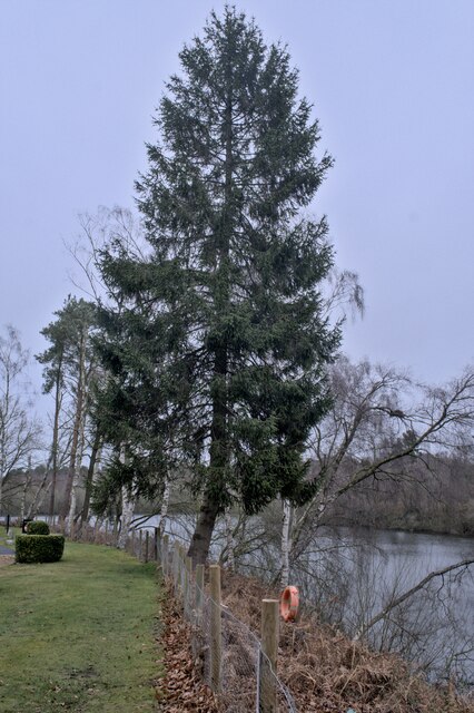
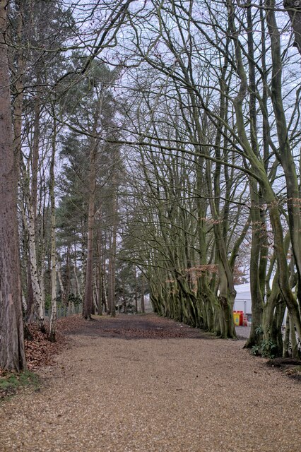
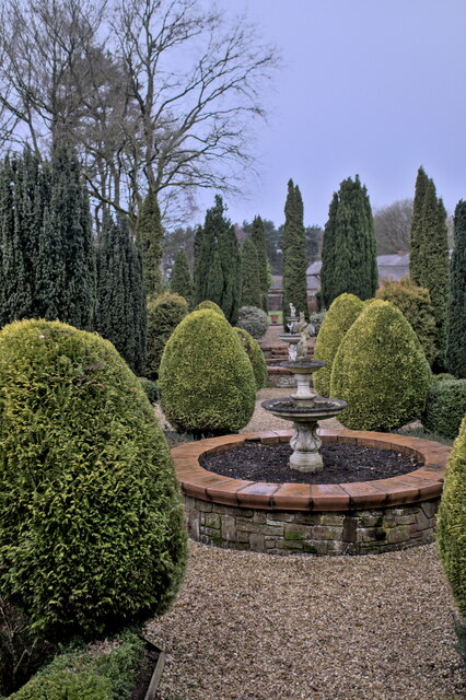
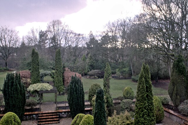
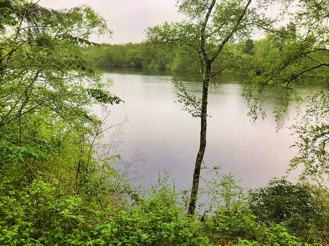
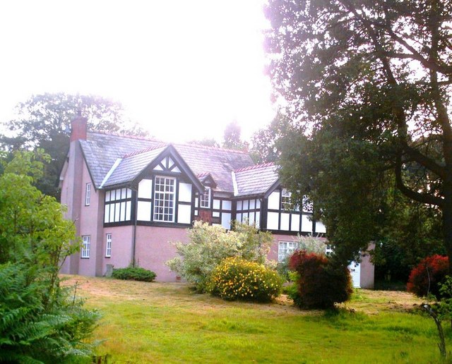
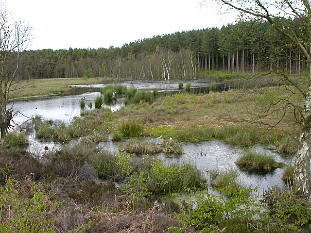
The village is surrounded by lush green hills and open fields, creating a scenic backdrop for its quaint cottages and traditional architecture. The Downs, located to the east of the village, provide a hilly terrain perfect for hiking and enjoying panoramic views of the countryside. Moorland, located to the west, offers vast expanses of heather-covered hills, creating a unique and rugged landscape.

Crabtree Green is known for its welcoming community, with a range of amenities and services to cater to residents' needs. The village has a local pub, a village hall, and a small convenience store, ensuring that residents have access to essential goods and services without having to venture far.

The history of Crabtree Green can be traced back several centuries, with evidence of settlements dating back to the Roman times. The village has a rich heritage, with historic buildings and landmarks, including a medieval church and a manor house.

Additionally, Crabtree Green is conveniently located near larger towns and cities, with easy access to transport links. The bustling market town of Chester is just a short drive away, offering a wide range of shopping, dining, and entertainment options.

Overall, Crabtree Green is a charming village that seamlessly blends natural beauty, history, and community spirit, making it a desirable place to live or visit for those seeking a peaceful and picturesque setting.

If you have any feedback on the listing, please let us know in the comments section below.

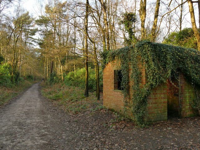
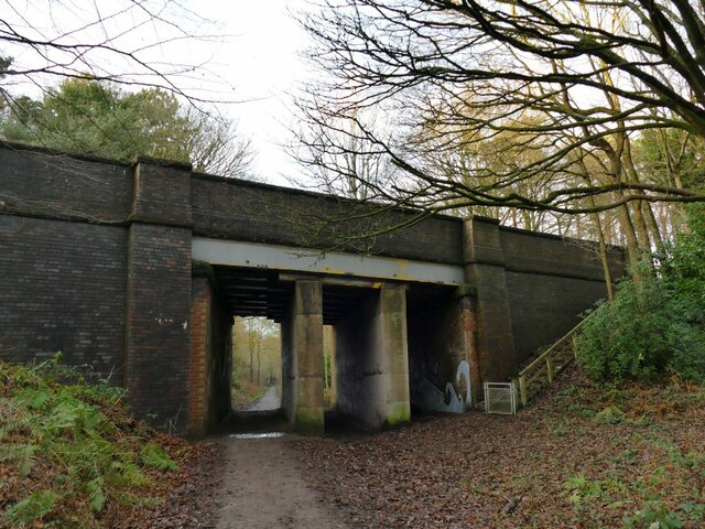
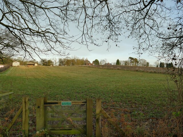
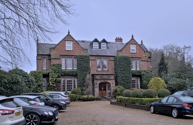
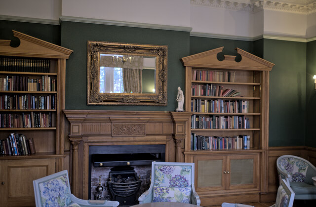
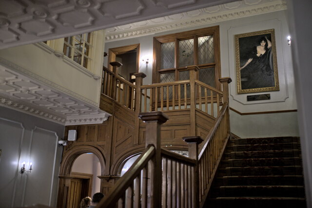
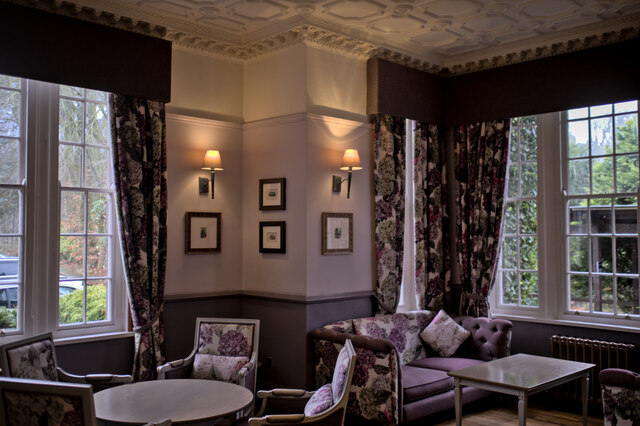
Crabtree Green Images

Images are sourced within 2km of 53.227502/-2.6292565 or Grid Reference SJ5870. Thanks to Geograph Open Source API. All images are credited.

Shemmy Moss from the Whitegate Way As near to wilderness as you are likely to find in Cheshire, this is undeveloped wetland.
Shemmy Moss from the Whitegate Way
As near to wilderness as you are likely to find in Cheshire, this is undeveloped wetland.
Forest Camp, from the Whitegate Way A view into the woodland scout camp, including one end of a building not shown on maps and hidden from aerial imagery by trees, so the location is approximate. The caption to a historic image <a href="https://www.geograph.org.uk/photo/6441476">SJ5969 : Crossing The Reeka</a> explains that this area has been used as a scout camp since 1947 or earlier.
Forest Camp, from the Whitegate Way
A view into the woodland scout camp, including one end of a building not shown on maps and hidden from aerial imagery by trees, so the location is approximate. The caption to a historic image SJ5969 : Crossing The Reeka explains that this area has been used as a scout camp since 1947 or earlier.
Signpost on the Whitegate Way A path links Kennel Lane to the railway trail at this point. The sign is to Cuddington (2.4km) and Delamere Forest (6km) to the left, and Whitegate car park (2.3km) to the right.
Signpost on the Whitegate Way
A path links Kennel Lane to the railway trail at this point. The sign is to Cuddington (2.4km) and Delamere Forest (6km) to the left, and Whitegate car park (2.3km) to the right.
Kennel Lane bridge over the Whitegate Way A substantial footbridge, maybe designed for horse-drawn vehicles originally.
Kennel Lane bridge over the Whitegate Way
A substantial footbridge, maybe designed for horse-drawn vehicles originally.
Hut beside the Whitegate Way The brick hut was probably for the use of railway maintenance workers. There certainly was never a station here.
Hut beside the Whitegate Way
The brick hut was probably for the use of railway maintenance workers. There certainly was never a station here.
Tarporley Road bridge over the Whitegate Way The bridge carries the A49. A flight of steps links the road to the trail.  Since the railway tracks were lifted, concrete block walls and steel girders have been added to strengthen the deck.  <a href="https://www.geograph.org.uk/photo/196159">SJ5969 : Whitegate Way, Oakmere</a> taken in 2006 shows it from the other side with this arrangement already in place.
Tarporley Road bridge over the Whitegate Way
The bridge carries the A49. A flight of steps links the road to the trail. Since the railway tracks were lifted, concrete block walls and steel girders have been added to strengthen the deck. SJ5969 : Whitegate Way, Oakmere taken in 2006 shows it from the other side with this arrangement already in place.
Private land at Forest View A sign on a gate deters users of the Whitegate Way from trespassing.
Private land at Forest View
A sign on a gate deters users of the Whitegate Way from trespassing.
Nunsmere Hall A rather superior hotel, surrounded by a lake in Cheshire.  Built around 1900 for Sir Aubrey Brocklebank, Chairman of The Brocklebank Shipping Line, and now an hotel and wedding venue.
Nunsmere Hall
A rather superior hotel, surrounded by a lake in Cheshire. Built around 1900 for Sir Aubrey Brocklebank, Chairman of The Brocklebank Shipping Line, and now an hotel and wedding venue.
Nunsmere Hall The West facade of the hall, overlooking the gardens
Nunsmere Hall
The West facade of the hall, overlooking the gardens
The Nunsmere Described by the hotel (Nunsmere Hall) as a 60-acre lake, I strongly suspect it is nothing of the kind.  I think it is a 60 acre former gravel pit. The southern quarter of the lake is owned by the forestry commission, not the hotel.

See also <span class="nowrap"><a title="https://www.merseyforest.org.uk/things-to-do/walks-bike-rides-and-more/woodlands/nunsmere-hall-and-newchurch-common/" rel="nofollow ugc noopener" href="https://www.merseyforest.org.uk/things-to-do/walks-bike-rides-and-more/woodlands/nunsmere-hall-and-newchurch-common/">Link</a><img style="margin-left:2px;" alt="External link" title="External link - shift click to open in new window" src="https://s1.geograph.org.uk/img/external.png" width="10" height="10"/></span>
The Nunsmere
Described by the hotel (Nunsmere Hall) as a 60-acre lake, I strongly suspect it is nothing of the kind. I think it is a 60 acre former gravel pit. The southern quarter of the lake is owned by the forestry commission, not the hotel. See also LinkExternal link
The lake at Nunsmere This tree overhangs the banks of the Nunsmere, a former gravel pit in Cheshire.
The lake at Nunsmere
This tree overhangs the banks of the Nunsmere, a former gravel pit in Cheshire.
Wooded avenue A row of Beech Trees at Nunsmere Hall, echoed by a row of Scots pine on the other side, interspersed with self-sewn silver birch.
Wooded avenue
A row of Beech Trees at Nunsmere Hall, echoed by a row of Scots pine on the other side, interspersed with self-sewn silver birch.
Gardens in the rain The formal gardens at Nunsmere Hall.
Gardens in the rain
The formal gardens at Nunsmere Hall.
The Library The library at Nunsmere Hall Hotel.
The Library
The library at Nunsmere Hall Hotel.
The Staircase The great staircase at Nunsmere Hall Hotel.
The Staircase
The great staircase at Nunsmere Hall Hotel.
A lounge One of the lounges at the Nunsmere Hall Hotel.
A lounge
One of the lounges at the Nunsmere Hall Hotel.
Overlooking the garden The view at Dusk from my bedroom window at Nunsmere Hall Hotel.
Overlooking the garden
The view at Dusk from my bedroom window at Nunsmere Hall Hotel.
Nunsmere The undulating landscape of this area of Cheshire was forged by melting glacial waters at the end of the last Ice Age and is home to a number of lakes, including Blakemere Moss, Hatchmere Lake, Oak Mere and Nunsmere, all within the vicinity of Delamere Forest. While some of the lakes that remain are glacial in origin, others have been created by flooding pits caused by gravel and sand extraction in the area.
Nunsmere
The undulating landscape of this area of Cheshire was forged by melting glacial waters at the end of the last Ice Age and is home to a number of lakes, including Blakemere Moss, Hatchmere Lake, Oak Mere and Nunsmere, all within the vicinity of Delamere Forest. While some of the lakes that remain are glacial in origin, others have been created by flooding pits caused by gravel and sand extraction in the area.
Show me another place!

Crabtree Green is located at Grid Ref: SJ5870 (Lat: 53.227502, Lng: -2.6292565)

Unitary Authority: Cheshire West and Chester

Police Authority: Cheshire

What 3 Words

///fuzz.confined.riverboat. Near Oakmere, Cheshire

Related Wikis

Oakmere Hall

Oakmere Hall is a large house to the southwest of the villages of Cuddington and Sandiway, Cheshire, England, near the junction of the A49 and A556 roads...

Oakmere

Oakmere is a village and former civil parish, now in the parish of Delamere and Oakmere, in the Cheshire West and Chester district, in the county of Cheshire...

Bluecap Memorial

The Bluecap Memorial stands in the yard of the Cheshire Hunt Kennels in Kennel Lane, Sandiway, Cheshire, England. Bluecap was a Cheshire foxhound that...

Abbotts Moss Nature Reserve

Abbotts Moss is a 12-hectare (30-acre) nature reserve near Delamere Forest, northwest of Winsford, Cheshire. It is managed by the Cheshire Wildlife Trust...

Nearby Amenities

Located within 500m of 53.227502,-2.6292565
Bus Stop
Oakmere, Chester Road / Oakmere Country Park
Bench: no
Bin: no
Bus: yes
Lit: yes
Naptan AtcoCode: 0610VR145
Naptan Bearing: NE
Naptan CommonName: Oakmere Country Park
Naptan Crossing: Stoneyford Lane
Naptan Indicator: opp
Naptan Landmark: Oakmere Country Park
Naptan LocalityName: Oakmere
Naptan NaptanCode: chwgtgj
Naptan ShortCommonName: Oakmere Country Park
Naptan Street: Chester Road
Naptan Verified: no
Public Transport: platform
Shelter: no
Source: naptan_import
Tactile Paving: yes
Lat/Long: 53.2255817/-2.6298853
Bus Stop
Oakmere, Chester Road / Oakmere Country Park
Bench: no
Bin: no
Bus: yes
Lit: yes
Naptan AtcoCode: 0610VR146
Naptan Bearing: SW
Naptan CommonName: Oakmere Country Park
Naptan Crossing: Hogs Head Lane
Naptan Indicator: o/s
Naptan Landmark: Oakmere Bookstore
Naptan LocalityName: Oakmere
Naptan NaptanCode: chwgtgm
Naptan ShortCommonName: Oakmere Bookstore
Naptan Street: Chester Road
Naptan Verified: no
Public Transport: platform
Shelter: no
Source: naptan_import
Tactile Paving: yes
Lat/Long: 53.2251079/-2.630195
Disused Shop: yes
Lat/Long: 53.2251082/-2.6297365
stones ford Cl
Tourism: camp_site
Lat/Long: 53.231574/-2.6288429
Post Box
Collection Times: Mo-Fr 16:00; Sa 11:00
Ref: CW8 94
Royal Cypher: EIIR
Royal Cypher Wikidata: Q33102113
Lat/Long: 53.2255041/-2.6278692
Bench
Lat/Long: 53.2259709/-2.6285514
The data included in this document is from www.openstreetmap.org. The data is made available under ODbL.

Have you been to Crabtree Green?

Leave your review of Crabtree Green below (or comments, questions and feedback).