Crabtree Green
Settlement in Cheshire
England
Crabtree Green
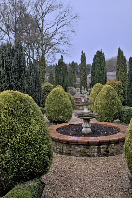
Crabtree Green is a small village located in the county of Cheshire, England. Situated in the northwestern part of the county, it is part of the wider civil parish of Barthomley. The village is surrounded by picturesque countryside, offering residents and visitors a charming rural setting.
The village itself is relatively small, with a tight-knit community that prides itself on its friendly and welcoming atmosphere. The local economy is primarily centered around agriculture, with many residents working in farming or related industries. This is reflected in the landscape, with rolling fields and patches of woodland dominating the surrounding area.
Crabtree Green is situated close to several larger towns and cities, making it an attractive option for those looking for a quieter place to live while still having access to amenities. The nearby town of Crewe is just a short drive away and offers a range of shopping, dining, and leisure facilities. The city of Stoke-on-Trent is also within easy reach, providing further options for entertainment and employment.
In terms of amenities, Crabtree Green has a small primary school, which serves the local community. For secondary education, students typically commute to nearby towns. The village also boasts a village hall, which serves as a social hub for various community events and gatherings.
Overall, Crabtree Green offers a peaceful and picturesque setting for those looking to escape the hustle and bustle of city life, while still having access to nearby towns and cities for essential services and entertainment options.
If you have any feedback on the listing, please let us know in the comments section below.
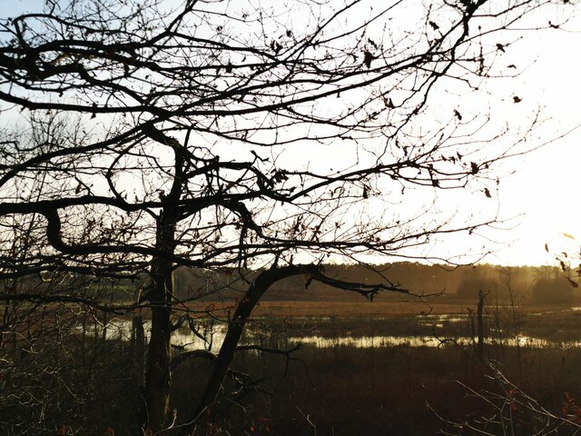
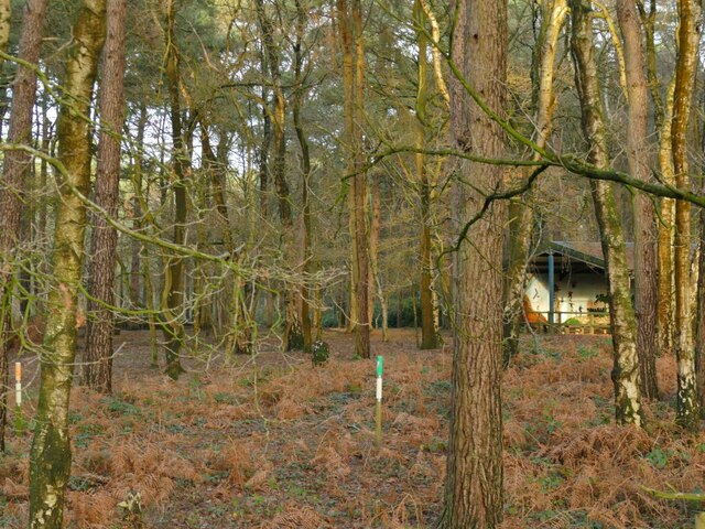
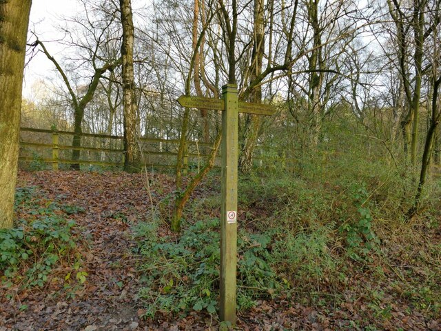
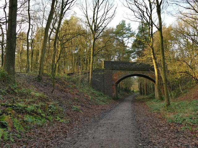
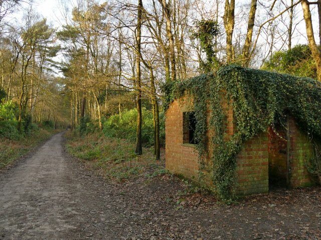
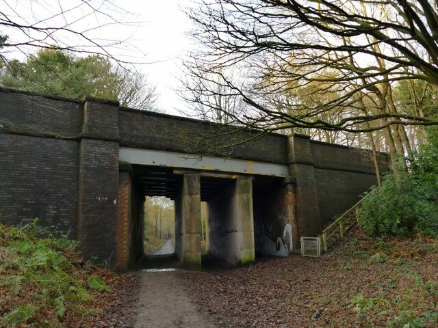
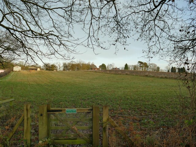
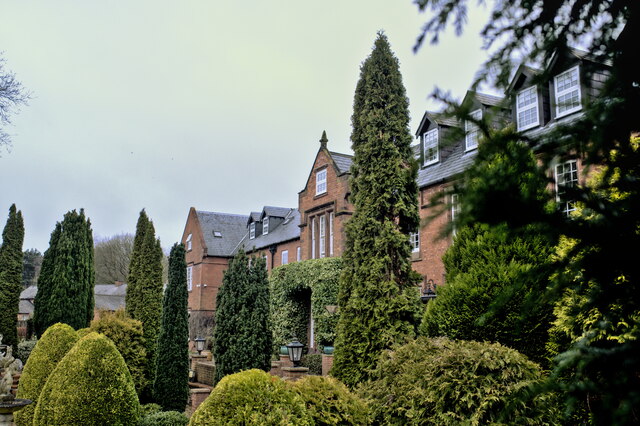
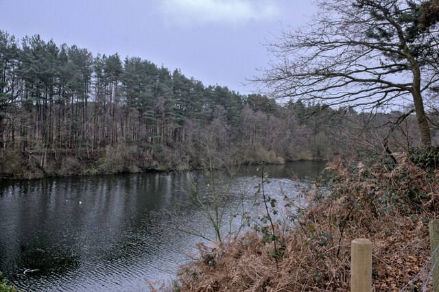
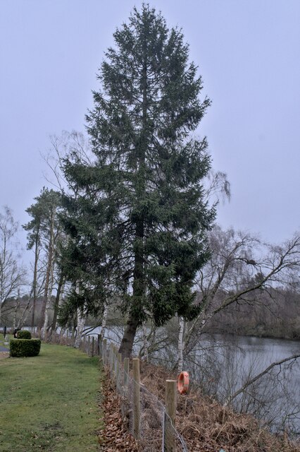
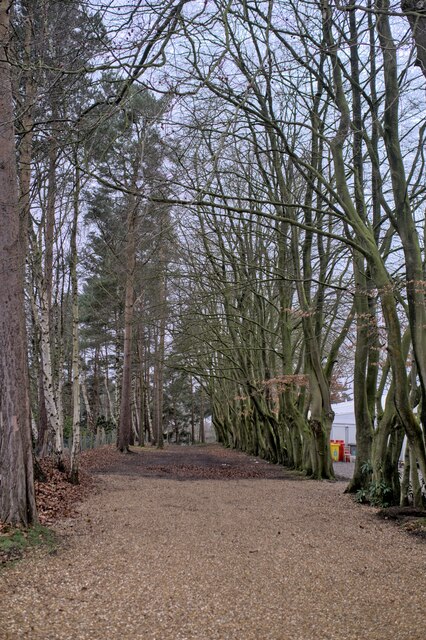
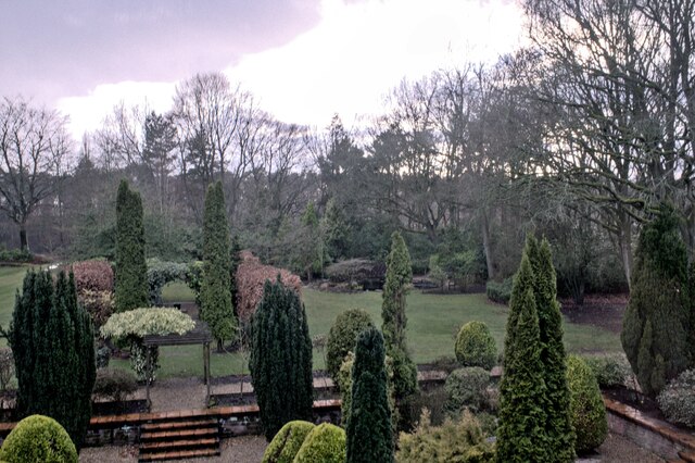
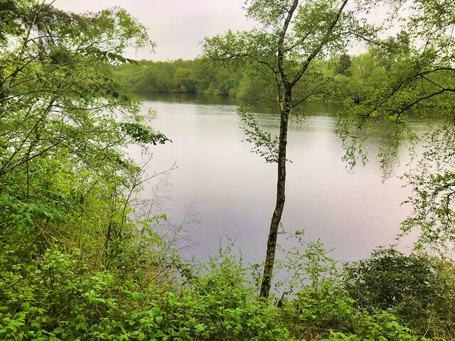
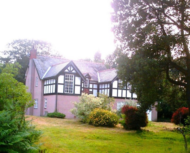
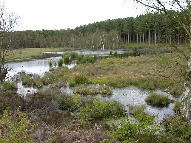
Crabtree Green Images
Images are sourced within 2km of 53.226125/-2.628008 or Grid Reference SJ5870. Thanks to Geograph Open Source API. All images are credited.
Crabtree Green is located at Grid Ref: SJ5870 (Lat: 53.226125, Lng: -2.628008)
Unitary Authority: Cheshire West and Chester
Police Authority: Cheshire
What 3 Words
///examiner.swaps.paddlers. Near Oakmere, Cheshire
Nearby Locations
Related Wikis

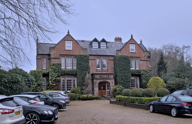
Oakmere Hall
Oakmere Hall is a large house to the southwest of the villages of Cuddington and Sandiway, Cheshire, England, near the junction of the A49 and A556 roads...
Oakmere
Oakmere is a village and former civil parish, now in the parish of Delamere and Oakmere, in the Cheshire West and Chester district, in the county of Cheshire...

Bluecap Memorial
The Bluecap Memorial stands in the yard of the Cheshire Hunt Kennels in Kennel Lane, Sandiway, Cheshire, England. Bluecap was a Cheshire foxhound that...
Abbotts Moss Nature Reserve
Abbotts Moss is a 12-hectare (30-acre) nature reserve near Delamere Forest, northwest of Winsford, Cheshire. It is managed by the Cheshire Wildlife Trust...
Nearby Amenities
Located within 500m of 53.226125,-2.628008Have you been to Crabtree Green?
Leave your review of Crabtree Green below (or comments, questions and feedback).