Howe of Alford
Downs, Moorland in Aberdeenshire
Scotland
Howe of Alford

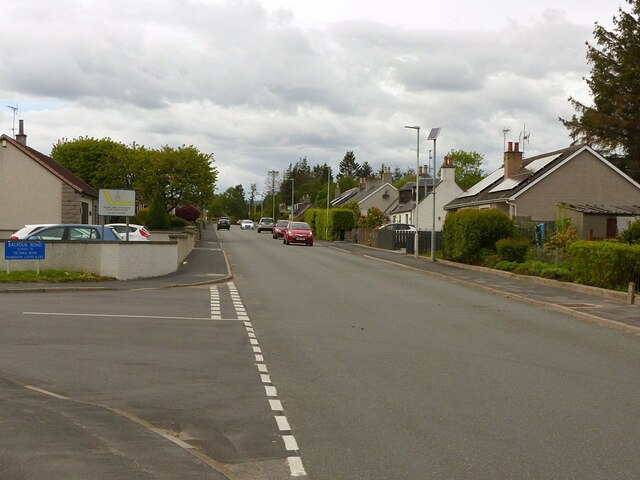
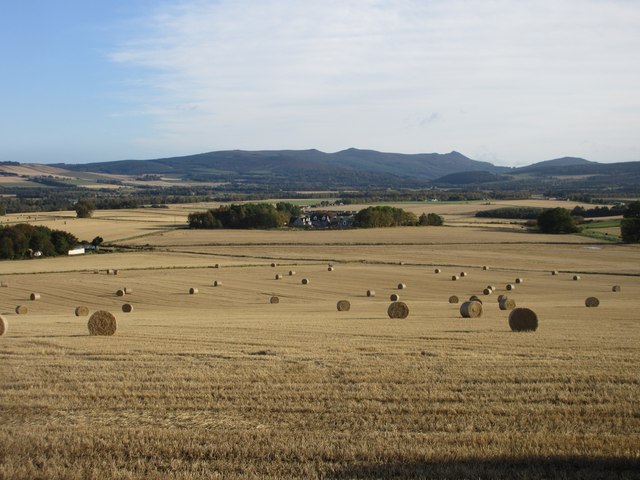
Howe of Alford is a picturesque region located in Aberdeenshire, Scotland. Situated on the eastern edge of the Grampian Mountains, it is known for its breathtaking downs and moorland landscapes. Covering an area of approximately 40 square miles, Howe of Alford is a haven for nature lovers and outdoor enthusiasts.
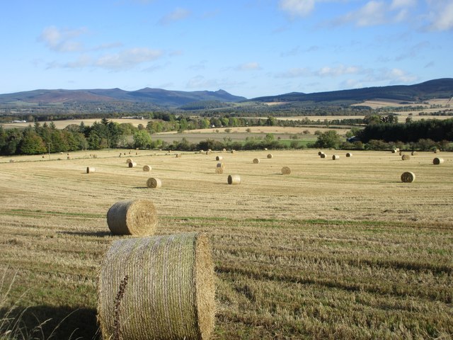
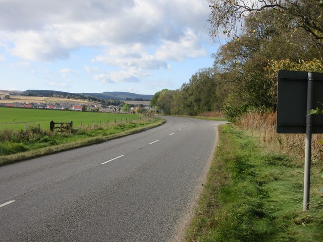
The downs of Howe of Alford are characterized by rolling hills and vast open spaces. These grassy expanses are perfect for walking, picnicking, and enjoying panoramic views of the surrounding countryside. The downs are home to a rich variety of flora and fauna, including heather, wildflowers, and numerous bird species.
Moorland is another prominent feature of Howe of Alford, with its rugged terrain and expansive peat bogs. The moorland is a unique ecosystem, home to a diverse range of plants, such as sphagnum moss and cotton grass. It also provides a habitat for various wildlife, including red deer, mountain hares, and birds of prey.
In addition to its natural beauty, Howe of Alford boasts a rich cultural and historical heritage. The area is dotted with ancient sites, including standing stones, stone circles, and burial cairns, which offer a glimpse into the region's past. The Alford Valley Railway, a preserved steam railway, is a popular attraction for visitors, offering a nostalgic journey through the area's history.
Overall, Howe of Alford in Aberdeenshire is a captivating destination that combines stunning natural landscapes with a fascinating history. Whether exploring the downs, traversing the moorland, or delving into the area's past, visitors are sure to be enchanted by the beauty and charm of this remarkable region.
If you have any feedback on the listing, please let us know in the comments section below.
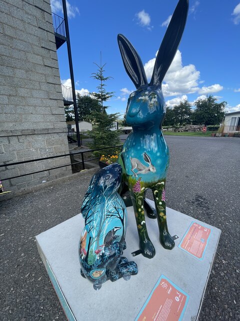
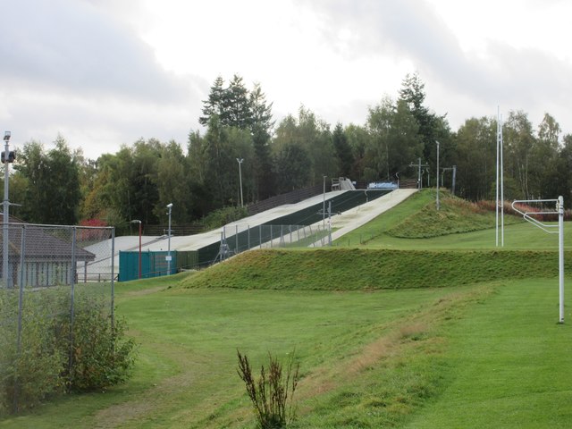
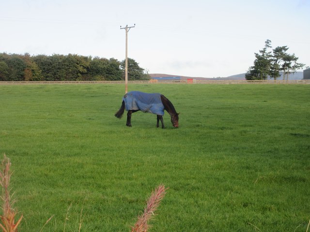
Howe of Alford Images
Images are sourced within 2km of 57.235953/-2.6960928 or Grid Reference NJ5816. Thanks to Geograph Open Source API. All images are credited.


Howe of Alford is located at Grid Ref: NJ5816 (Lat: 57.235953, Lng: -2.6960928)
Unitary Authority: Aberdeenshire
Police Authority: North East
What 3 Words
///union.fairway.sweetened. Near Alford, Aberdeenshire
Nearby Locations
Related Wikis

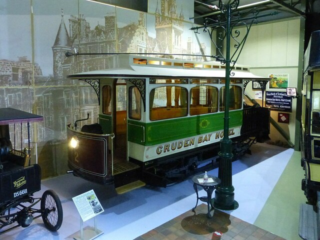
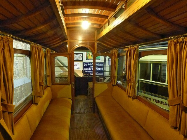
Grampian Transport Museum
Grampian Transport Museum is a transport museum and charitable-based trust located in Alford, Aberdeenshire, Scotland. Its exhibits chart the history of...

Alford Valley Railway
The Alford Valley Railway is a 2 ft (610 mm) narrow gauge railway in the Howe of Alford, Aberdeenshire, Scotland. It is located at what used to be the...
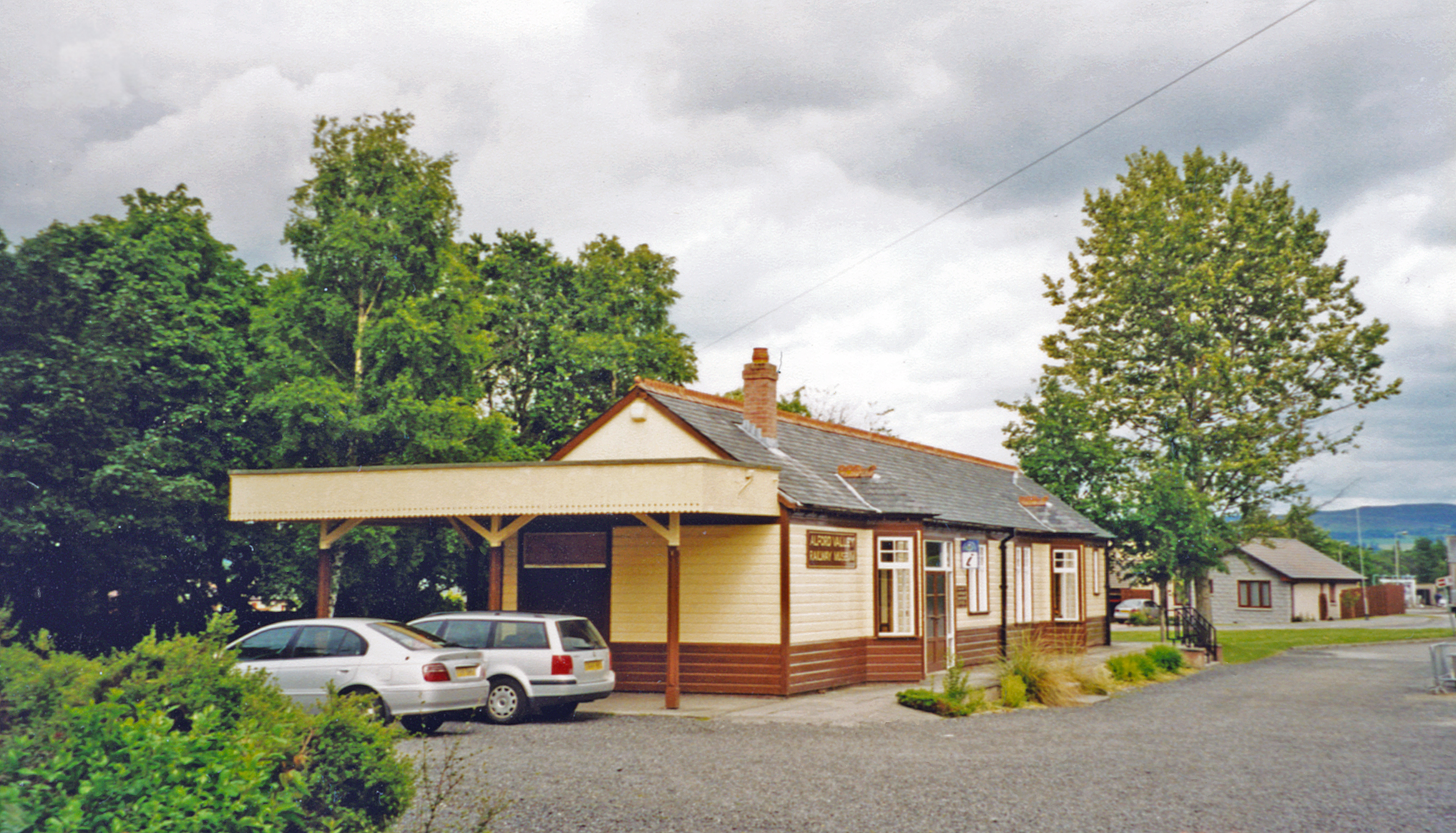
Alford railway station
Alford railway station is a former railway station in Alford, Aberdeenshire which now serves as a terminus for tourist narrow gauge railway, the Alford...

Alford Academy
Alford Academy is a secondary school in Alford, Aberdeenshire, Scotland, serving communities in a catchment zone that ranges from the Lecht to Dunecht...
Nearby Amenities
Located within 500m of 57.235953,-2.6960928Have you been to Howe of Alford?
Leave your review of Howe of Alford below (or comments, questions and feedback).