Cabin Flat
Downs, Moorland in Lancashire Lancaster
England
Cabin Flat
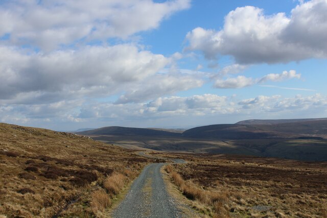
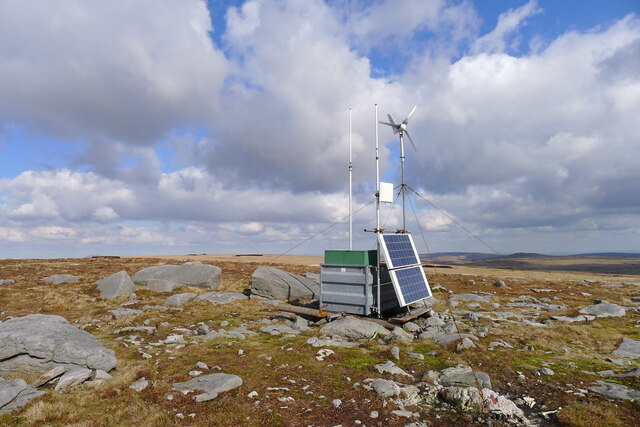
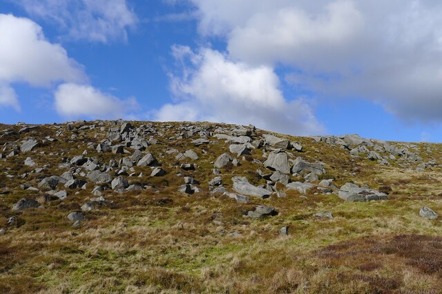
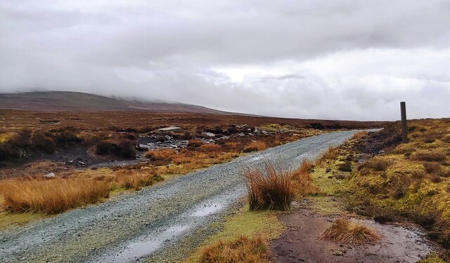
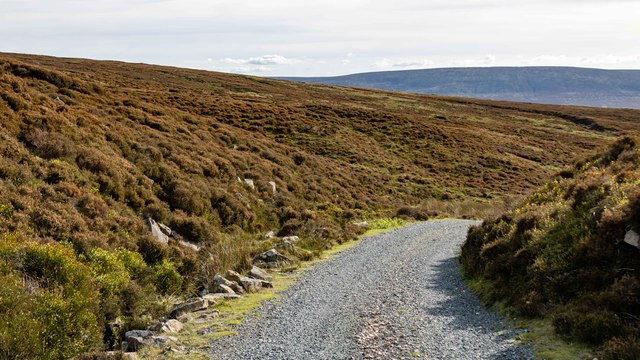
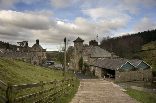
Cabin Flat is a small rural area located in Lancashire, England. Situated in the heart of the county, Cabin Flat is known for its picturesque downs and moorland landscapes. The area is characterized by rolling hills, vast open fields, and patches of dense woodland.
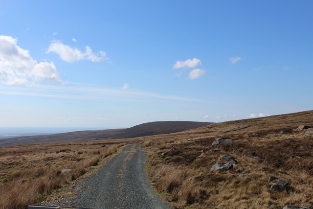
Cabin Flat offers a tranquil and peaceful setting, making it an ideal destination for nature lovers and outdoor enthusiasts. The downs provide an excellent vantage point, offering panoramic views of the surrounding countryside. On a clear day, visitors can enjoy breathtaking sights of the Lancashire coast in the distance.
The moorland in Cabin Flat is rich in biodiversity, with a variety of flora and fauna. Rare species of birds, including the Red Grouse and the Northern Wheatear, can be spotted in this area, making it a popular spot for birdwatching. The moors are also home to several species of wildflowers, creating a colorful and vibrant landscape during the blooming season.
Hiking and walking trails crisscross the area, allowing visitors to explore the natural beauty of Cabin Flat at their own pace. The quiet and serene atmosphere provides a perfect escape from the hustle and bustle of city life.
Although Cabin Flat is primarily a rural area, it is not completely isolated. The nearby town of Lancashire offers amenities such as restaurants, shops, and accommodations, making it convenient for visitors to access the area.
Overall, Cabin Flat, Lancashire, is a hidden gem that offers a glimpse into the beauty of the English countryside. Its downs and moorland provide a serene and scenic environment, making it a must-visit destination for nature enthusiasts and those seeking a peaceful retreat.
If you have any feedback on the listing, please let us know in the comments section below.
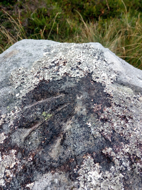
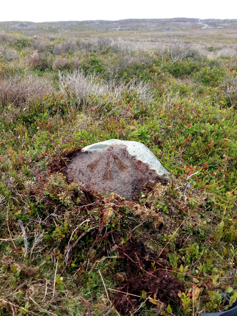
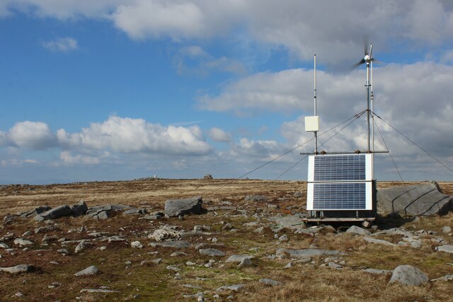
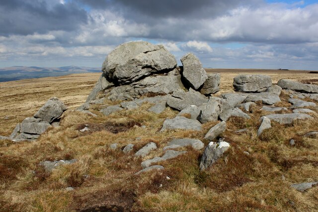
Cabin Flat Images
Images are sourced within 2km of 54.026141/-2.6587343 or Grid Reference SD5659. Thanks to Geograph Open Source API. All images are credited.


Cabin Flat is located at Grid Ref: SD5659 (Lat: 54.026141, Lng: -2.6587343)
Administrative County: Lancashire
District: Lancaster
Police Authority: Lancashire
What 3 Words
///flats.ratty.pickles. Near Caton, Lancashire
Nearby Locations
Related Wikis

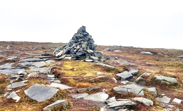
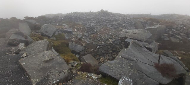
Grit Fell
Grit Fell is a lonely hill between Clougha Pike and Ward's Stone in the Forest of Bowland in Lancashire, England. Covered by heather and large bogs, it...

Ward's Stone
Ward's Stone is the highest hill in the Forest of Bowland, England. Its flat top hides two trig points nearly a kilometre apart. The western trig point...

Clougha Pike
Clougha Pike ( KLUUF-ə) is a hill in the Forest of Bowland in Lancashire, England. From the west it looms over the Conder Valley, the city of Lancaster...
Littledale Hall
Littledale Hall is a former country house in the civil parish of Caton-with-Littledale in Lancashire, England, some 10 miles (16 km) east of Lancaster...

River Grizedale
The River Grizedale, also known as Grizedale Beck, is a river in Lancashire, England. The river rises at Grizedale Head between Abbeystead Fell, Cabin...

Grizedale Bridge
Grizedale Bridge is a Grade II listed bridge in the English parish of Over Wyresdale, Lancashire. The structure, which dates to the 19th century, carries...

Abbeystead House
Abbeystead House is a large country house to the east of the village of Abbeystead, Lancashire, England, some 12 km (7 miles) south-east of Lancaster....

William Molyneux, 4th Earl of Sefton
William Philip Molyneux, 4th Earl of Sefton, (14 October 1835 – 27 June 1897) was a British peer. == Biography == Born Viscount Molyneux, he was the eldest...
Related Videos
Wards Stone Walk
Walking in the Trough of Bowland on a very wet day.
10 mile fell run up Clougha Pike, Grit Fell and Ward's Stone on the Bowland fells
10 mile fell run, aprx 1800ft elevation up Clougha Pike, Grit fell and Ward's Stone going anticlockwise from Quernmore carpark ...

Clougha Pike (Slideshow)
A very enjoyable walk today up over Clougha Pike in the Bowland Fells with my mate Andrew (the human encyclopedia on all ...
Landscape Photography from a mountain in...LANCASHIRE?!
ORDER MY 2024 CALENDAR! (Not Many Left!) https://geni.us/2024calendar Join the club for FREE! INSTANTLY get my ...
Nearby Amenities
Located within 500m of 54.026141,-2.6587343Have you been to Cabin Flat?
Leave your review of Cabin Flat below (or comments, questions and feedback).