Sankey Valley Park
Downs, Moorland in Lancashire
England
Sankey Valley Park

Sankey Valley Park is a picturesque area located in Lancashire, England. Situated in the Downs and Moorland region, the park covers a vast area of natural beauty, offering visitors a variety of recreational activities and stunning views.
The park is known for its diverse landscape, which includes rolling hills, expansive moorland, and lush green valleys. It is a haven for nature enthusiasts, with a rich array of flora and fauna thriving in its diverse habitats. Visitors can explore the park through a network of well-maintained trails that wind through the countryside, providing opportunities for leisurely walks, picnics, and wildlife spotting.
One of the park's standout features is the Sankey Valley, a picturesque river valley that meanders through the landscape, offering breathtaking views and a tranquil atmosphere. The river itself is teeming with wildlife, including various bird species and fish, making it a haven for birdwatchers and anglers alike.
For those seeking more adventurous activities, the park offers opportunities for cycling, horse riding, and even motorized sports in designated areas. There are also several play areas for children, ensuring that the park caters to visitors of all ages.
Sankey Valley Park is easily accessible, with ample parking facilities and well-connected public transportation options. It is a popular destination for both locals and tourists, offering a peaceful retreat from the hustle and bustle of urban life. Whether visitors are seeking relaxation or outdoor adventure, Sankey Valley Park is a must-visit destination in Lancashire.
If you have any feedback on the listing, please let us know in the comments section below.
Sankey Valley Park Images
Images are sourced within 2km of 53.44671/-2.6498078 or Grid Reference SJ5694. Thanks to Geograph Open Source API. All images are credited.


Sankey Valley Park is located at Grid Ref: SJ5694 (Lat: 53.44671, Lng: -2.6498078)
Unitary Authority: St. Helens
Police Authority: Merseyside
What 3 Words
///police.curls.consonant. Near Burtonwood, Cheshire
Nearby Locations
Related Wikis
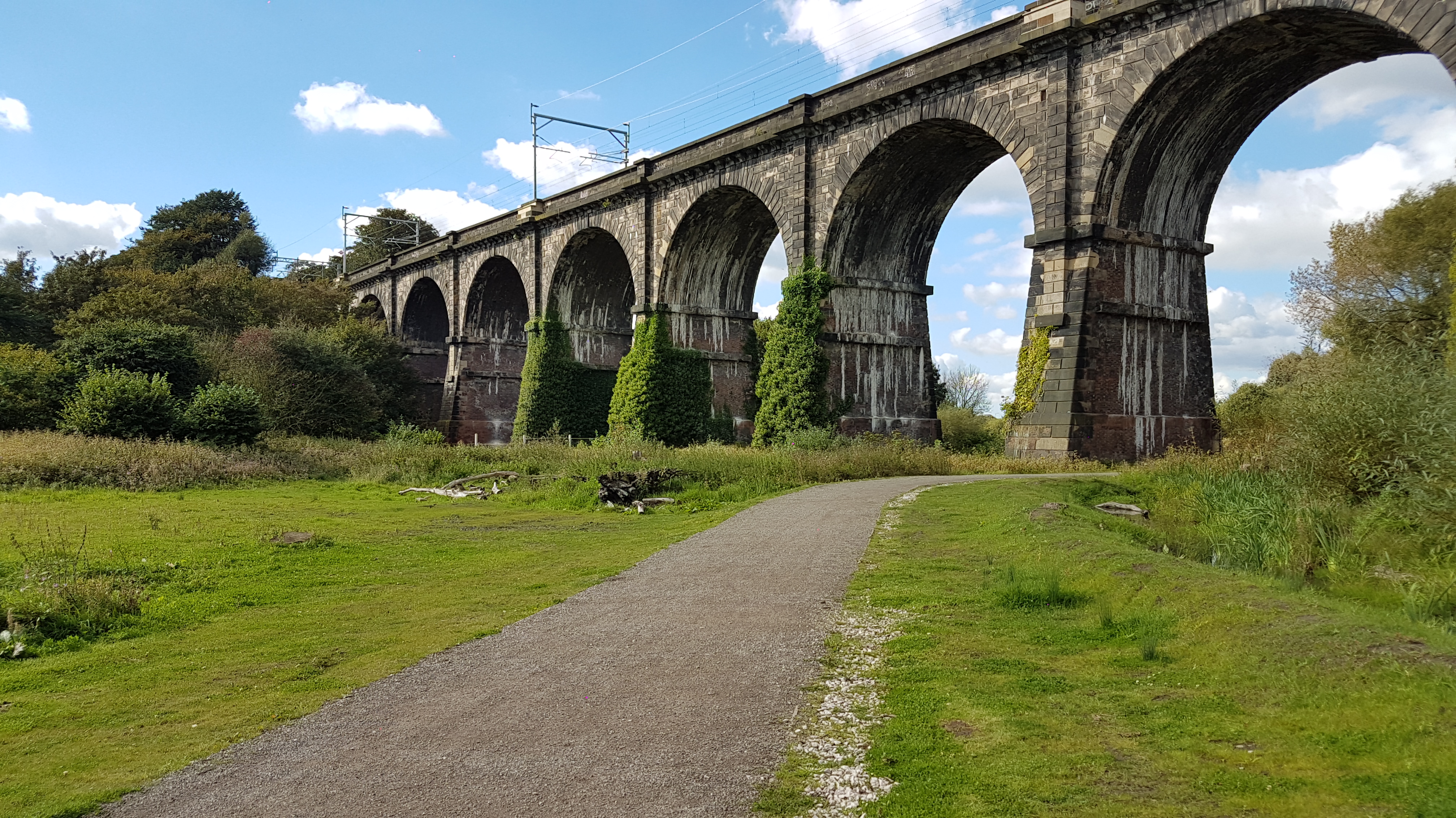
Sankey Viaduct
The Sankey Viaduct is a railway viaduct in North West England. It is a designated Grade I listed building and has been described as being "the earliest...
Earlestown
Earlestown is a town in the Metropolitan Borough of St Helens in Merseyside, England. At the 2011 Census the town had a population of 10,830. == History... ==
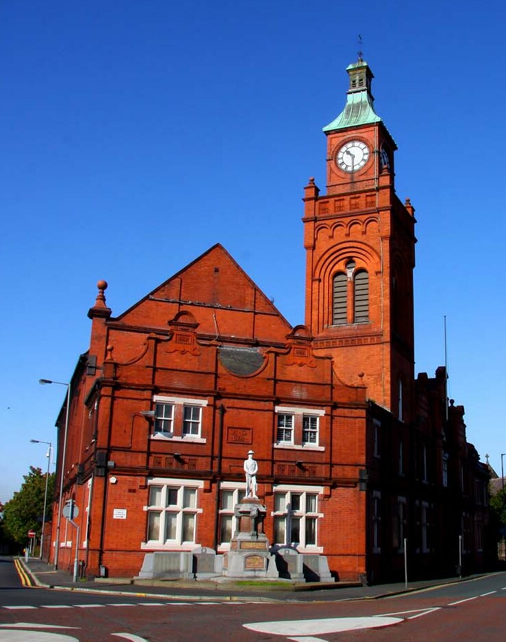
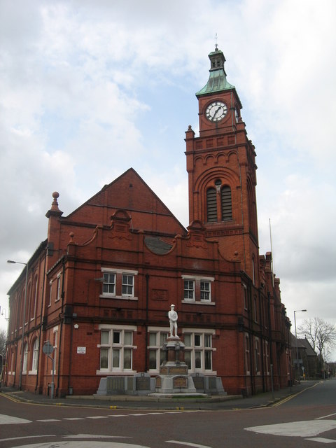
Earlestown Town Hall
Earlestown Town Hall is a municipal building in Market Street in Earlestown, Merseyside, England. The building, which was the headquarters of Newton-le...
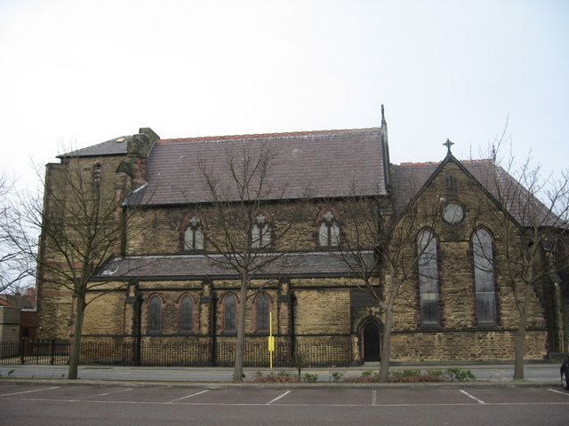
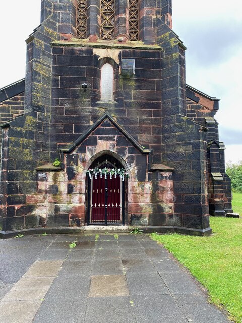
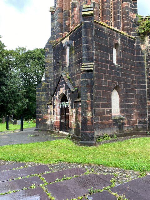
St John the Baptist's Church, Earlestown
St John the Baptist's Church is in Market Street, Earlestown, St Helens, Merseyside, England. It is an active Anglican parish church in the deanery of...
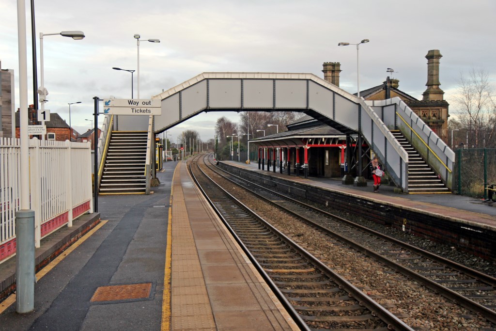
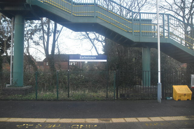
Earlestown railway station
Earlestown railway station is a railway station in Earlestown, Merseyside, England, and one of the few "triangular" stations in Britain. == History... ==

Collins Green railway station
Collins Green railway station was a railway station in Burtonwood, Warrington, England. It was in operation between 1830 and 1951. == Opening and location... ==
Newton Community Hospital
Newton Community Hospital, also known as Newton Hospital, is a sub-acute care NHS Hospital in Newton-le-willows, St Helens. It is managed by the Mersey...
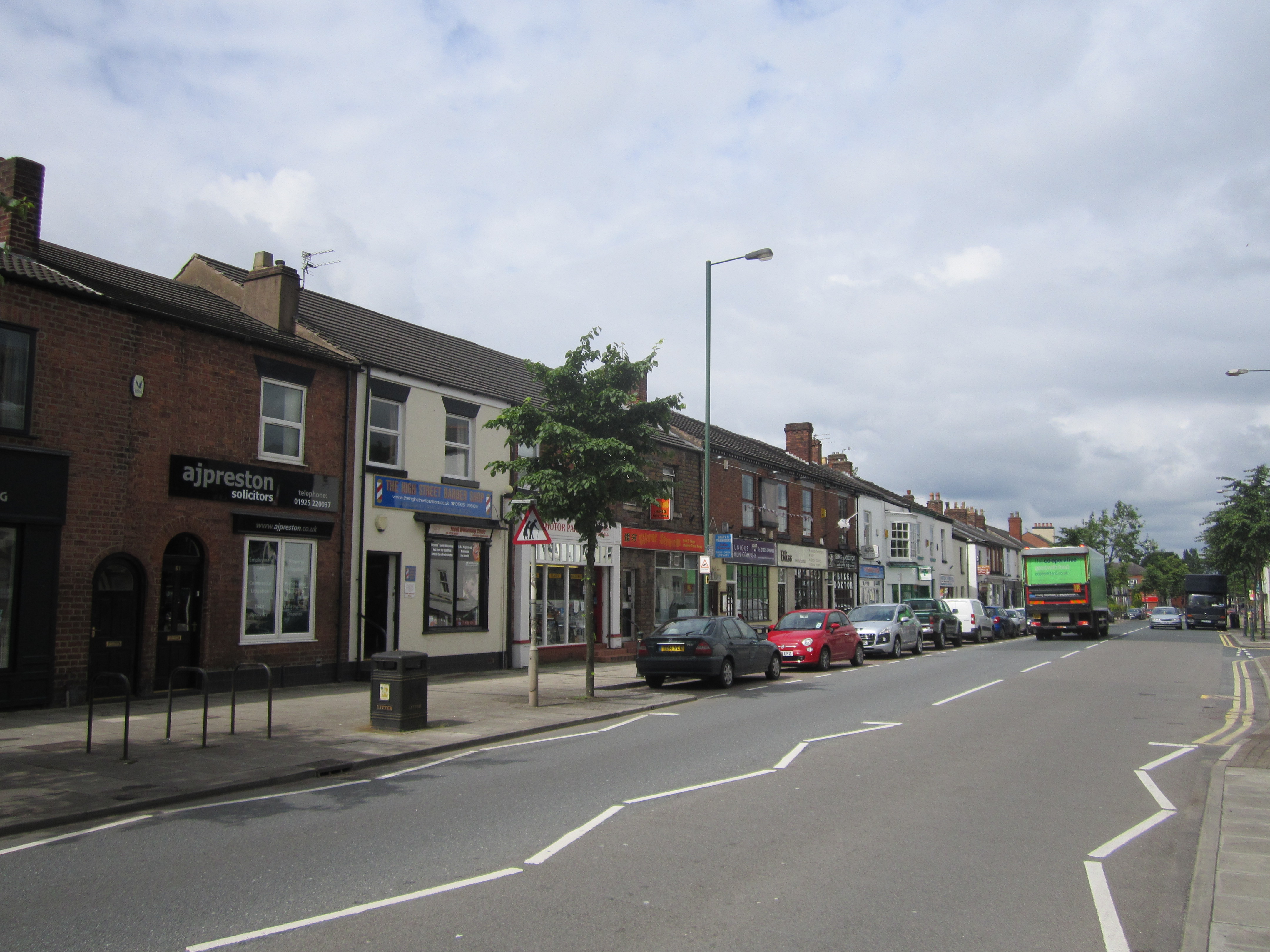
Newton-le-Willows
Newton-le-Willows is a market town in the Metropolitan Borough of St Helens, Merseyside, England. The population at the 2011 census was 22,114. Newton...
Nearby Amenities
Located within 500m of 53.44671,-2.6498078Have you been to Sankey Valley Park?
Leave your review of Sankey Valley Park below (or comments, questions and feedback).