Brownley Hill

Hill, Mountain in Lancashire Lancaster

England

Brownley Hill

Looking towards Clougha and Ward’s Stone from Harrisend Fell
Looking towards Clougha and Ward’s Stone from Harrisend Fell Credit: shikari

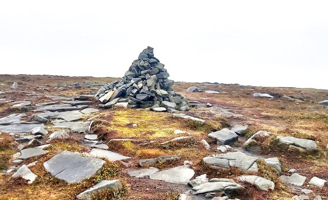
Brownley Hill is a prominent hill located in the county of Lancashire, England. It is situated in the rugged and picturesque landscape of the Forest of Bowland, a designated Area of Outstanding Natural Beauty. Standing at an elevation of approximately 454 meters (1,490 feet), Brownley Hill is considered one of the highest points in the region.

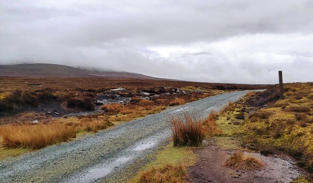
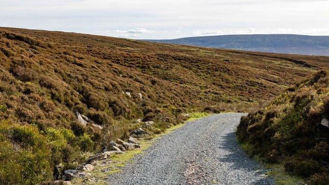
The hill offers breathtaking panoramic views of the surrounding countryside, with its rolling green hills, scattered woodlands, and meandering rivers. Its summit provides an ideal vantage point for nature enthusiasts and hikers to appreciate the beauty of the area.

Brownley Hill is a popular destination for outdoor activities such as hiking, walking, and birdwatching. The hill is home to a diverse range of flora and fauna, including heather moorland, grasslands, and various species of birds such as curlews and lapwings.

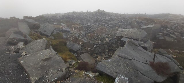
Access to Brownley Hill is relatively easy, with several footpaths and trails leading to its summit. The hill is well-maintained and offers a rewarding and challenging climb for both experienced and novice hikers. However, it is important to come prepared with appropriate equipment and clothing, as the weather conditions can be unpredictable and changeable.

Overall, Brownley Hill in Lancashire is a natural gem that showcases the captivating beauty of the Forest of Bowland. Its impressive height, stunning views, and rich biodiversity make it a must-visit destination for outdoor enthusiasts and nature lovers alike.

If you have any feedback on the listing, please let us know in the comments section below.

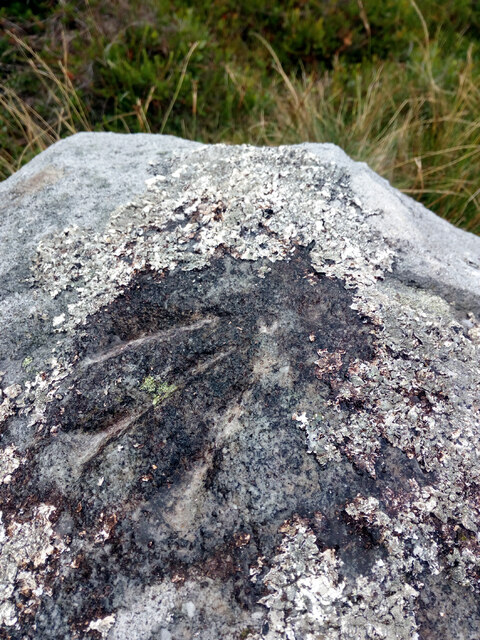
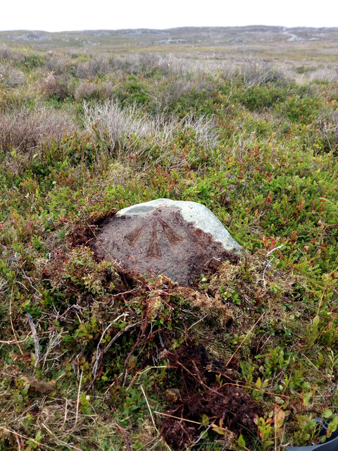
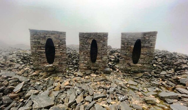
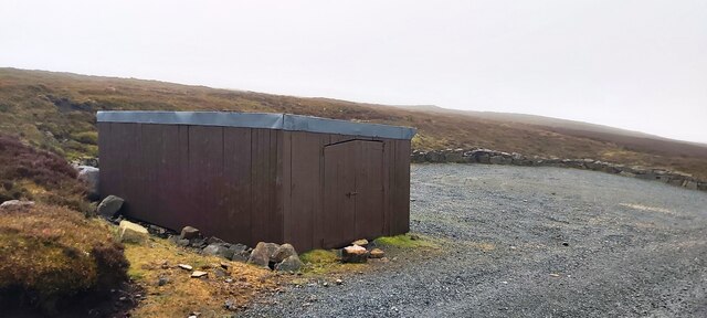
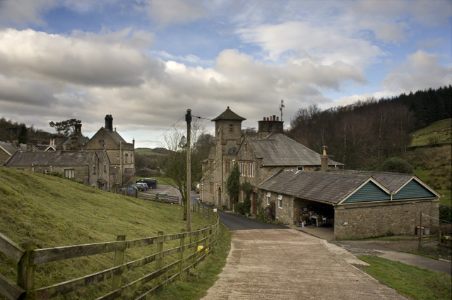
Brownley Hill Images

Images are sourced within 2km of 54.028411/-2.6659757 or Grid Reference SD5659. Thanks to Geograph Open Source API. All images are credited.

Looking towards Clougha and Ward’s Stone from Harrisend Fell
Cairn and shelter This cairn and shelter are not marked on old OS maps so must be of fairly recent (<50 years ago) construction.
Cairn and shelter
This cairn and shelter are not marked on old OS maps so must be of fairly recent (<50 years ago) construction.
OS Bench Mark This OS pivot bench mark from the 19th century levelling was hard to spot, being covered in lichen. In fact we were sitting on the rock, having failed to find it. Even after clearing the lichen and washing, it is still quite hard to see. 1399.5 feet above old datum.
OS Bench Mark
This OS pivot bench mark from the 19th century levelling was hard to spot, being covered in lichen. In fact we were sitting on the rock, having failed to find it. Even after clearing the lichen and washing, it is still quite hard to see. 1399.5 feet above old datum.
OS Bench Mark OS pivot bench mark from the 19th century levelling. It was mostly hidden by moss, which had perhaps protected it from erosion. After clearing and washing, it is now very clear. 1354.3 feet above old datum.
OS Bench Mark
OS pivot bench mark from the 19th century levelling. It was mostly hidden by moss, which had perhaps protected it from erosion. After clearing and washing, it is now very clear. 1354.3 feet above old datum.
Sculpture featuring three stone sentry boxes on Grit Fell In a disused quarry
Sculpture featuring three stone sentry boxes on Grit Fell
In a disused quarry
Cabin and Car Park on Grit Fell
Junction Marker on Cabin Flat
Boundary Stone and Ladder Stile on Grit Fell
Cairn on Grit Fell
Cairn on Grit Fell
Old Quarry Workings on Plover Moss
Lee Fell Track on Lee Fell near Grizedale Head.
Lee Fell
Track on Lee Fell near Grizedale Head.
Grizedale Head Luncheon hut for shooters at Grizedale Head.
Grizedale Head
Luncheon hut for shooters at Grizedale Head.
Grit Fell Vehicle parked up on Grit Fell.
Grit Fell
Vehicle parked up on Grit Fell.
Lee Fell Track crossing Lee Fell.
Lee Fell
Track crossing Lee Fell.
Stone Sculpture A stone sculpture in a disused quarry.
Stone Sculpture
A stone sculpture in a disused quarry.
Vickery Rock
Vickery Rock
Clougha Old quarry workings at Clougha.
Clougha
Old quarry workings at Clougha.
Show me another place!

Brownley Hill is located at Grid Ref: SD5659 (Lat: 54.028411, Lng: -2.6659757)

Administrative County: Lancashire

District: Lancaster

Police Authority: Lancashire

What 3 Words

///galaxy.reissued.laptop. Near Caton, Lancashire

Nearby Locations

Brownley Hill Cabin Flat

Related Wikis

Grit Fell

Grit Fell is a lonely hill between Clougha Pike and Ward's Stone in the Forest of Bowland in Lancashire, England. Covered by heather and large bogs, it...

Clougha Pike

Clougha Pike ( KLUUF-ə) is a hill in the Forest of Bowland in Lancashire, England. From the west it looms over the Conder Valley, the city of Lancaster...

Littledale Hall

Littledale Hall is a former country house in the civil parish of Caton-with-Littledale in Lancashire, England, some 10 miles (16 km) east of Lancaster...

Ward's Stone

Ward's Stone is the highest hill in the Forest of Bowland, England. Its flat top hides two trig points nearly a kilometre apart. The western trig point...

River Grizedale

The River Grizedale, also known as Grizedale Beck, is a river in Lancashire, England. The river rises at Grizedale Head between Abbeystead Fell, Cabin...

Grizedale Bridge

Grizedale Bridge is a Grade II listed bridge in the English parish of Over Wyresdale, Lancashire. The structure, which dates to the 19th century, carries...

Quernmore

Quernmore (pronounced KWOR-mər) is a village and civil parish in the City of Lancaster in Lancashire, England. It is located about 3 miles (5 km) east...

St Peter's Church, Quernmore

St Peter's Church is in the village of Quernmore, Lancashire, England. It is an active Anglican parish church in the deanery of Lancaster and Morecambe...

Nearby Amenities

Located within 500m of 54.028411,-2.6659757
Hunting Stand
Hunting Stand: grouse_butt
Lat/Long: 54.0278905/-2.6651944
Hunting Stand
Hunting Stand: grouse_butt
Lat/Long: 54.0299307/-2.6707533
Hunting Stand
Hunting Stand: grouse_butt
Lat/Long: 54.030564/-2.6706956
Hunting Stand
Hunting Stand: grouse_butt
Lat/Long: 54.0311918/-2.6706474
Hunting Stand
Hunting Stand: grouse_butt
Lat/Long: 54.0318251/-2.670532
Hunting Stand
Hunting Stand: grouse_butt
Lat/Long: 54.0300158/-2.6728535
Hunting Stand
Hunting Stand: grouse_butt
Lat/Long: 54.0294305/-2.6730265
Hunting Stand
Hunting Stand: grouse_butt
Lat/Long: 54.0288594/-2.673178
Hunting Stand
Hunting Stand: grouse_butt
Lat/Long: 54.0241209/-2.6649141
Hunting Stand
Hunting Stand: grouse_butt
Lat/Long: 54.0245432/-2.6650563
Hunting Stand
Hunting Stand: grouse_butt
Lat/Long: 54.0250017/-2.6651958
Hunting Stand
Hunting Stand: grouse_butt
Lat/Long: 54.025446/-2.6653433
Hunting Stand
Hunting Stand: grouse_butt
Lat/Long: 54.0258706/-2.6654774
Hunting Stand
Hunting Stand: grouse_butt
Lat/Long: 54.0263591/-2.6656249
Brownley Hill
Place: locality
Lat/Long: 54.0293139/-2.6648069
The data included in this document is from www.openstreetmap.org. The data is made available under ODbL.

Have you been to Brownley Hill?

Leave your review of Brownley Hill below (or comments, questions and feedback).