Brundrigg Moss
Downs, Moorland in Westmorland South Lakeland
England
Brundrigg Moss
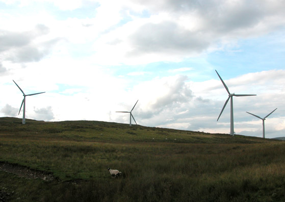
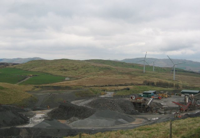
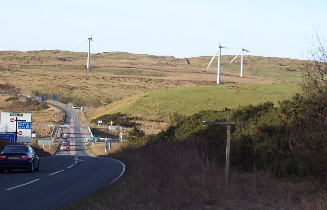
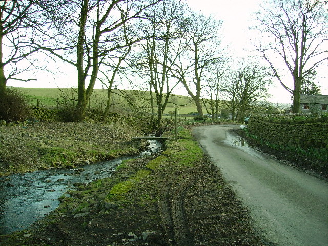
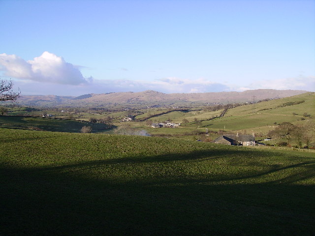
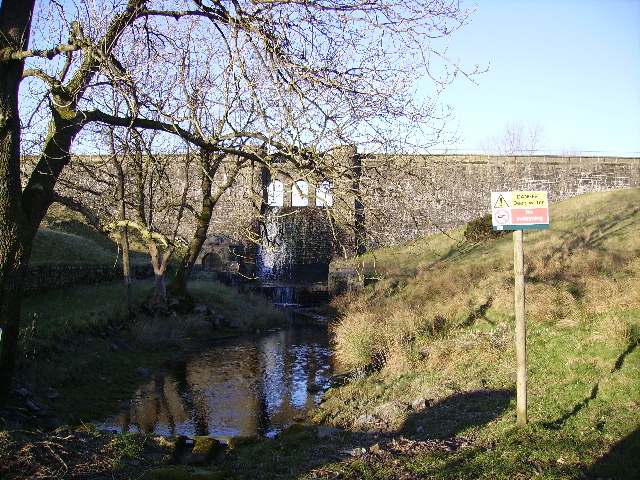
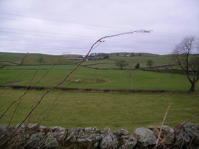
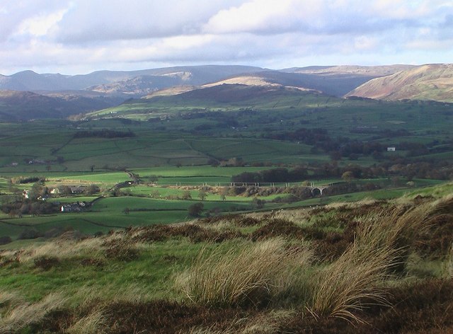
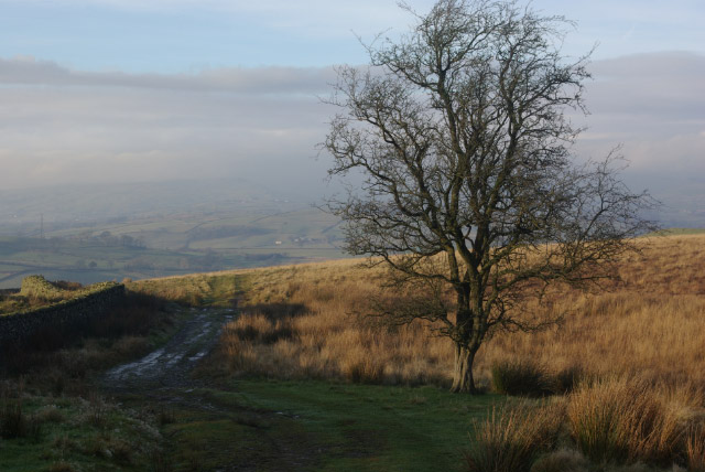
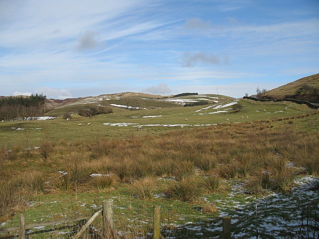
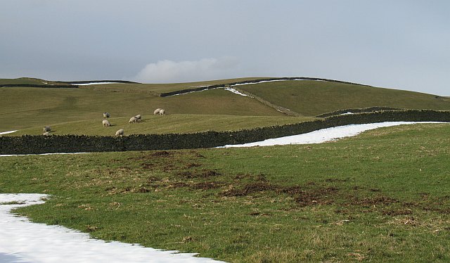
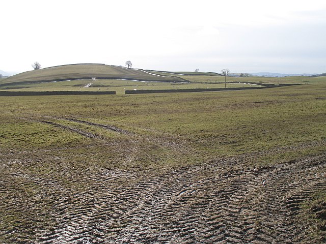
Brundrigg Moss, located in Westmorland, is a distinctive landscape characterized by its lush downs and moorland. This picturesque area covers a vast expanse of land, encompassing rolling hills, open fields, and scattered patches of heather. Brundrigg Moss is renowned for its natural beauty and rich biodiversity, attracting nature enthusiasts and hikers alike.
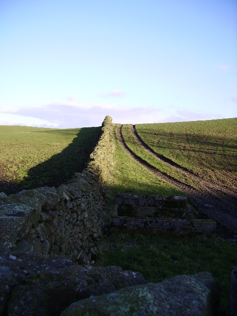
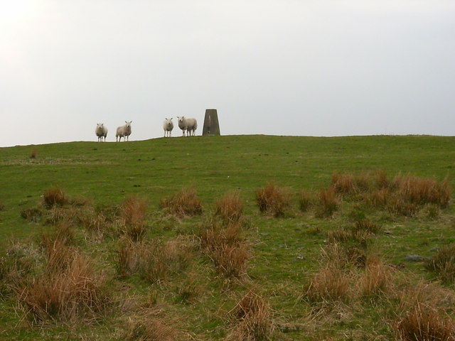
The downs of Brundrigg Moss offer breathtaking views of the surrounding countryside, with their gently sloping hills covered in green grasses and wildflowers. These expansive meadows provide a habitat for various species of birds, including skylarks and meadow pipits, which can be heard singing their melodious tunes throughout the day. The moorland areas, on the other hand, are characterized by their rugged terrain and dense vegetation, comprising heather, gorse, and bracken.
Within Brundrigg Moss, there are numerous walking trails and footpaths that allow visitors to explore the diverse landscape. These paths meander through the downs and moorland, providing opportunities to observe the local flora and fauna up close. The area is also home to several rare plant species, such as the bog rosemary and sundew, which thrive in the damp and acidic soils.
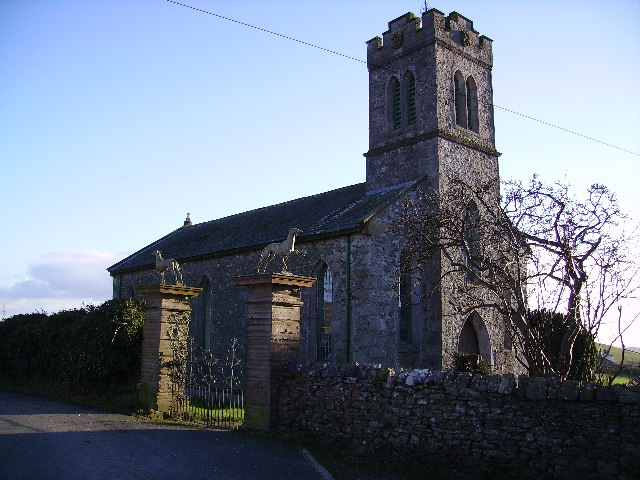
In addition to its natural wonders, Brundrigg Moss is steeped in history. The remains of ancient settlements and burial mounds can be found scattered across the landscape, serving as a testament to the area's rich cultural heritage.
Overall, Brundrigg Moss is a captivating destination for nature lovers and history enthusiasts, offering a unique blend of scenic beauty and historical significance.
If you have any feedback on the listing, please let us know in the comments section below.
Brundrigg Moss Images
Images are sourced within 2km of 54.32489/-2.6633777 or Grid Reference SD5692. Thanks to Geograph Open Source API. All images are credited.

Brundrigg Moss is located at Grid Ref: SD5692 (Lat: 54.32489, Lng: -2.6633777)
Administrative County: Cumbria
District: South Lakeland
Police Authority: Cumbria
What 3 Words
///amps.dweller.embers. Near Kendal, Cumbria
Nearby Locations
Related Wikis
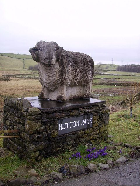
New Hutton
New Hutton is a village and civil parish in South Lakeland, Cumbria, England. At the 2011 Census, it had a population of 348.New Hutton is east of Kendal...

Killington Lake Services
Killington Lake Services is a motorway service station on the M6 motorway between Junctions 37 and 36 near Killington Lake in Cumbria, England. It was...
Lambrigg Fell
Lambrigg Fell is a hill, the highest point of the area of high ground between Kendal and the M6, in south-eastern Cumbria, England.It lies just outside...
Beck Houses
Beck Houses is a hamlet in Cumbria, England. It lies south of Grayrigg in the Westmorland and Furness unitary authority area. The West Coast Main Line...

Docker, Cumbria
Docker is a civil parish in the South Lakeland district of the English county of Cumbria. Docker is 4.3 miles north east of the market town of Kendal....

Middleshaw, Cumbria
Middleshaw is a hamlet on the B6254 road, near the village of Old Hutton, in the civil parish of Old Hutton and Holmescales, in the South Lakeland district...

Scalthwaiterigg
Scalthwaiterigg is a former civil parish, now in the parish of Skelsmergh and Scalthwaiterigg, in the Westmorland and Furness district, in the ceremonial...
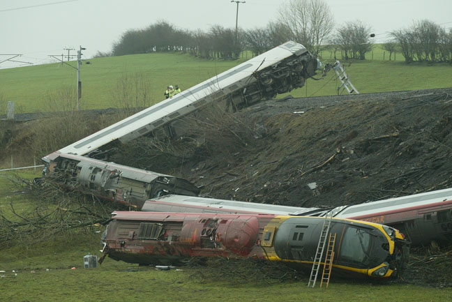
Grayrigg derailment
The Grayrigg derailment was a fatal railway accident that occurred at approximately 20:15 GMT on 23 February 2007, just to the south of Grayrigg, Cumbria...
Nearby Amenities
Located within 500m of 54.32489,-2.6633777Have you been to Brundrigg Moss?
Leave your review of Brundrigg Moss below (or comments, questions and feedback).