Flow Moss
Downs, Moorland in Westmorland Eden
England
Flow Moss
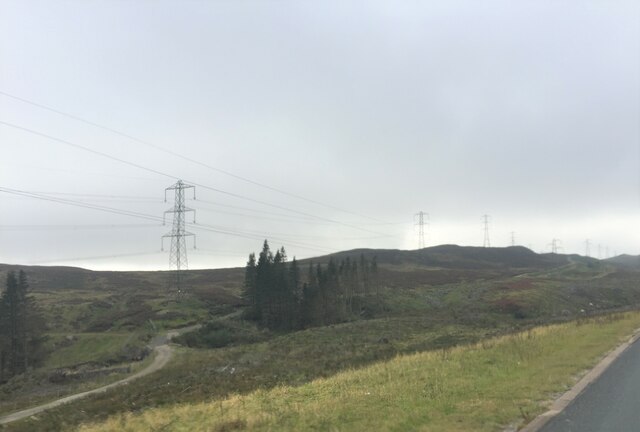
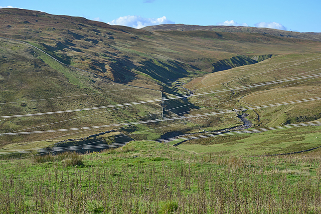
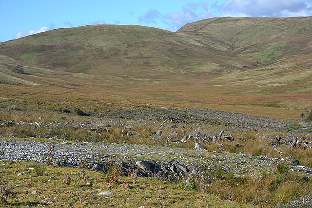
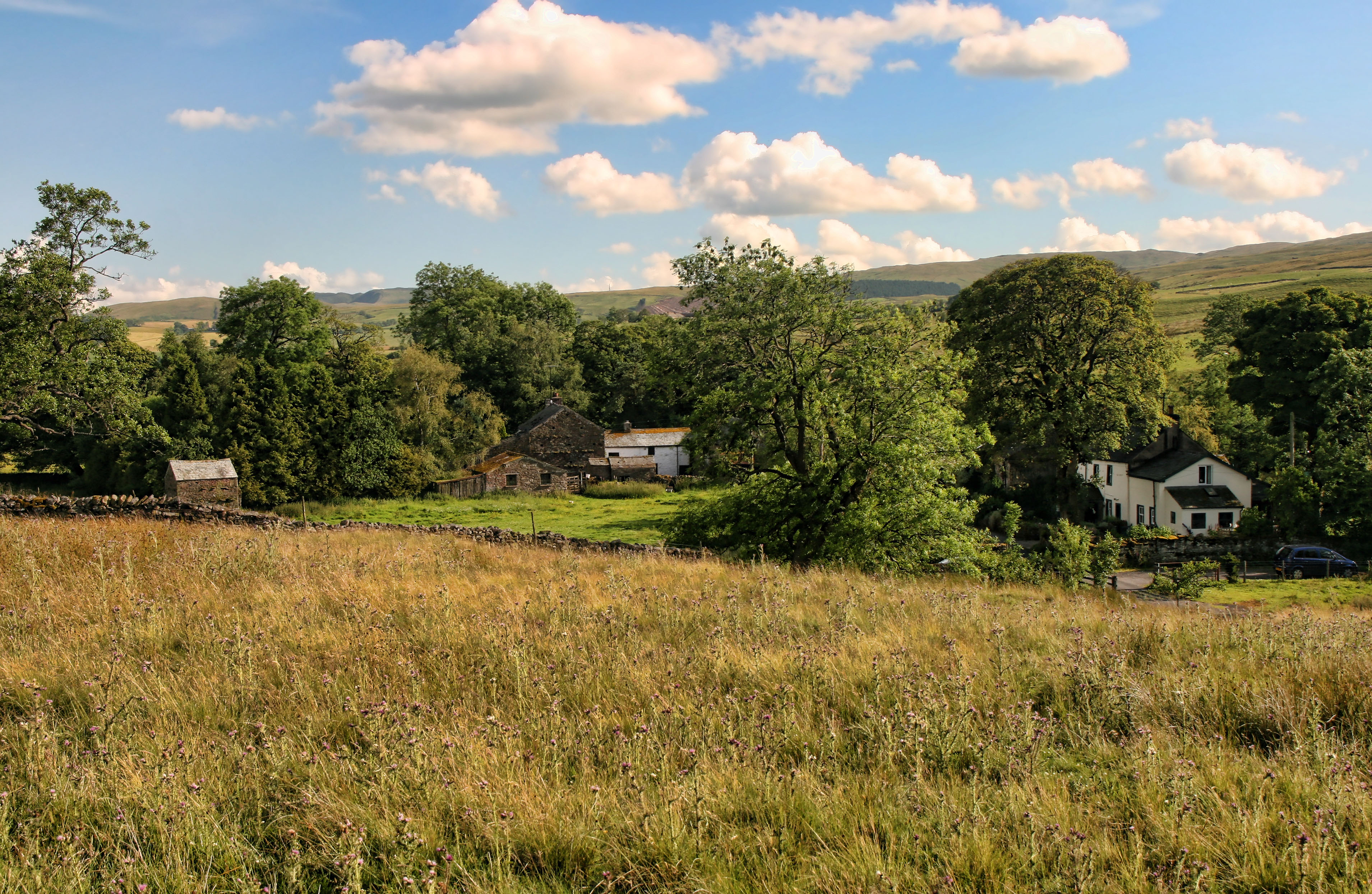
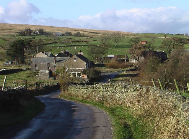
Flow Moss is a picturesque area located in Westmorland, England. Situated in the northern part of the county, Flow Moss encompasses a diverse landscape of downs and moorland. Spanning over a vast expanse of approximately 15 square miles, this area offers visitors a unique and captivating experience.
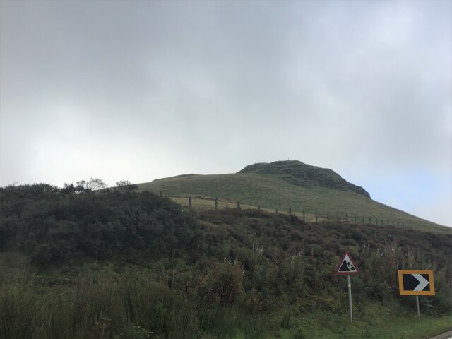
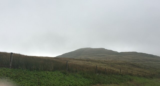
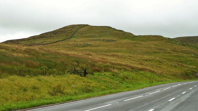
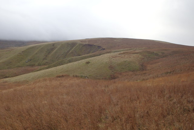
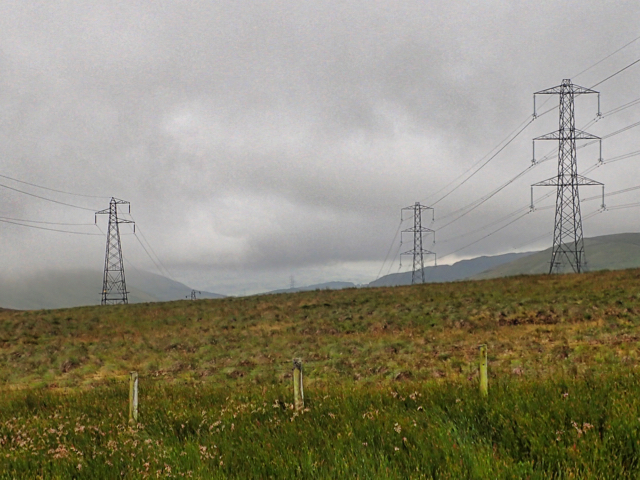
The downs in Flow Moss are characterized by rolling hills and open grasslands, providing a scenic backdrop for nature enthusiasts. The rich flora and fauna found in this region make it a haven for wildlife, with various species of birds, mammals, and insects calling it home. The peaceful atmosphere and untouched beauty of the downs make it an ideal destination for hiking, birdwatching, and nature photography.
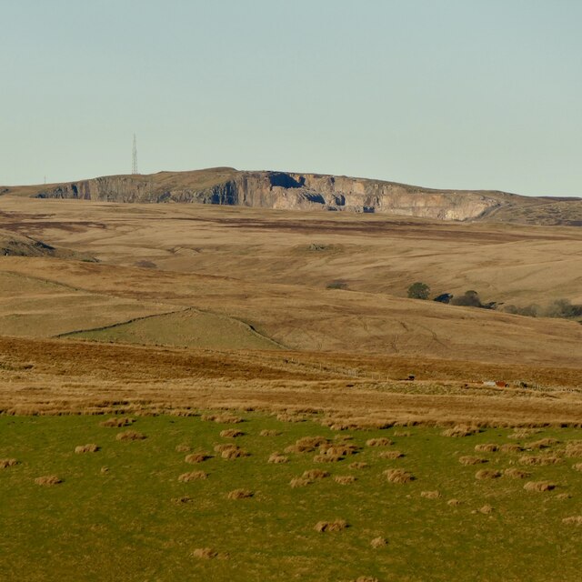
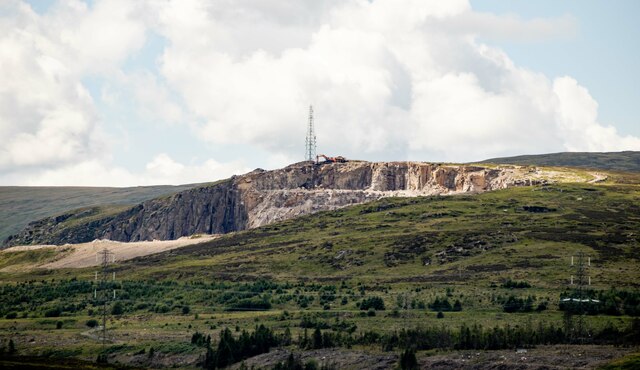
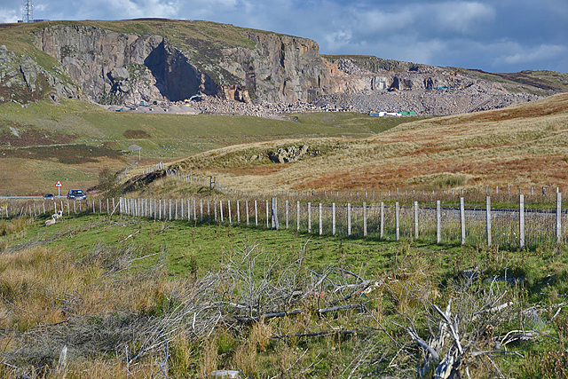
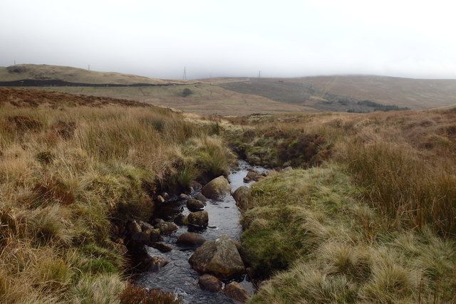
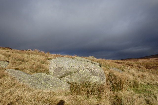
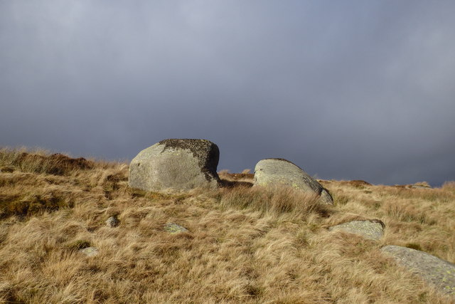
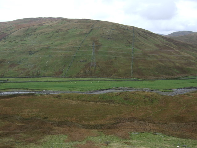
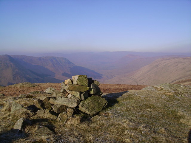
In contrast, the moorland in Flow Moss offers a more rugged and untamed terrain. The moors are characterized by heather-covered hills, scattered with rocky outcrops and peat bogs. This wild and remote landscape attracts adventurers and outdoor enthusiasts looking for a challenging and immersive experience. The moorland is also known for its unique plant species, including cotton grass and bilberry, which add bursts of color to the otherwise muted landscape.
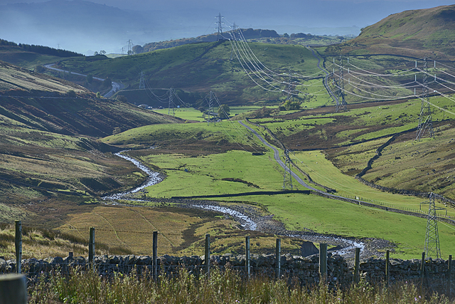
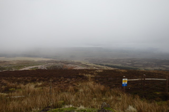
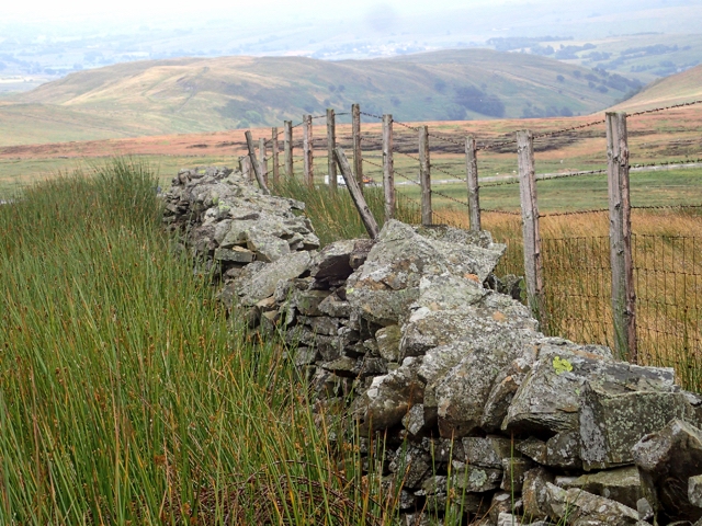
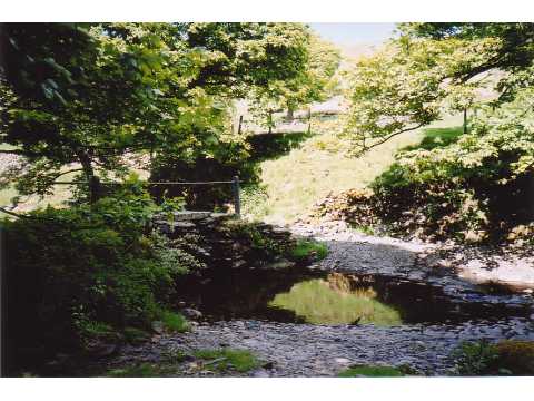
Visitors to Flow Moss can explore the area through a network of well-maintained footpaths and trails. There are also several viewpoints and picnic spots strategically placed to provide stunning views of the surrounding countryside. The tranquility and natural beauty of Flow Moss make it a must-visit destination for those seeking a peaceful escape in the heart of Westmorland.
If you have any feedback on the listing, please let us know in the comments section below.
Flow Moss Images
Images are sourced within 2km of 54.456139/-2.6780546 or Grid Reference NY5606. Thanks to Geograph Open Source API. All images are credited.
Flow Moss is located at Grid Ref: NY5606 (Lat: 54.456139, Lng: -2.6780546)
Administrative County: Cumbria
District: Eden
Police Authority: Cumbria
What 3 Words
///deeds.mess.advising. Near Shap, Cumbria
Nearby Locations
Related Wikis

Wasdale Horseshoe
The Wasdale Horseshoe is a group of hills on the eastern fringe of the English Lake District, to the west of the A6, south of Shap, Cumbria. They surround...
Bretherdale Head
Bretherdale Head is a hamlet in Cumbria, England. Meaning "Valley of the Brother", it was referred to as Britherdal in the 12th century. == References ==

Birkbeck Fells
Birkbeck Fells is a township located in part of the parishes of Crosby Ravensworth, Orton and Shap in the historic county of Westmorland. It is a large...

Crookdale Horseshoe
The Crookdale Horseshoe is a group of hills on the eastern edge of the English Lake District, in Cumbria, west of the A6 road. They are the subject of...
Scout Green
Scout Green is a hamlet and small area of farm land near the village of Tebay in Cumbria, England. == History == It is best known among railway enthusiasts...
Greenholme
Greenholme is a hamlet in Cumbria, England.The Greenholme Gala and Agricultural Show is held there annually.Greenholme Bridge crosses the Birk Beck in...

Borrowdale, Westmorland
Borrowdale is a valley in the English Lake District. It is located in the county of Westmorland, and is sometimes referred to as Westmorland Borrowdale...
Winterscleugh
Winterscleugh is a hill of 464 metres (1,522 ft) in Cumbria, England, to the east of the Lake District. It is in the far east of the Lake District National...
Nearby Amenities
Located within 500m of 54.456139,-2.6780546Have you been to Flow Moss?
Leave your review of Flow Moss below (or comments, questions and feedback).