Ashton Park
Downs, Moorland in Somerset
England
Ashton Park
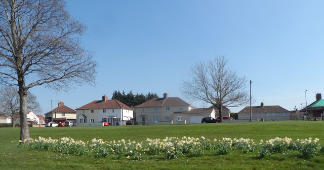
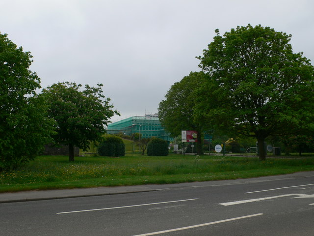
Ashton Park, located in Somerset, England, is a picturesque area known for its stunning landscapes and diverse natural habitats. Situated on the edge of the Mendip Hills, the park encompasses a range of terrains, including downs and moorland, making it a haven for outdoor enthusiasts and nature lovers alike.
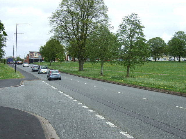
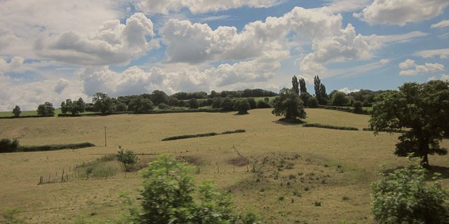
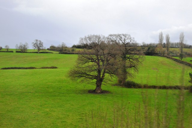
The downs of Ashton Park offer panoramic views of the surrounding countryside, with rolling hills and expansive meadows stretching as far as the eye can see. These open grasslands are home to a variety of plant species, including wildflowers such as cowslips and orchids, which add bursts of color to the landscape during the spring and summer months.
Moorland areas within the park are characterized by their unique vegetation, which includes heather, bracken, and gorse. These dense, sprawling habitats provide important nesting grounds for a wide range of bird species, including the rare and elusive Dartford warbler.
Ashton Park is also home to several walking trails and footpaths that allow visitors to explore its natural wonders at their own pace. These paths wind through woodlands, alongside babbling brooks, and up to stunning viewpoints, providing opportunities for visitors to immerse themselves in the beauty of the area.
In addition to its natural attractions, Ashton Park boasts a rich history, with archaeological sites dating back to the Roman and medieval periods. These historical remnants, coupled with the park's stunning vistas and diverse wildlife, make Ashton Park a must-visit destination for anyone seeking a tranquil and awe-inspiring outdoor experience in Somerset.
If you have any feedback on the listing, please let us know in the comments section below.
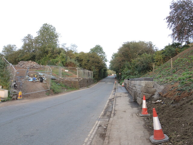
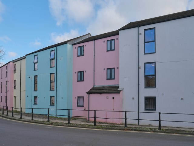
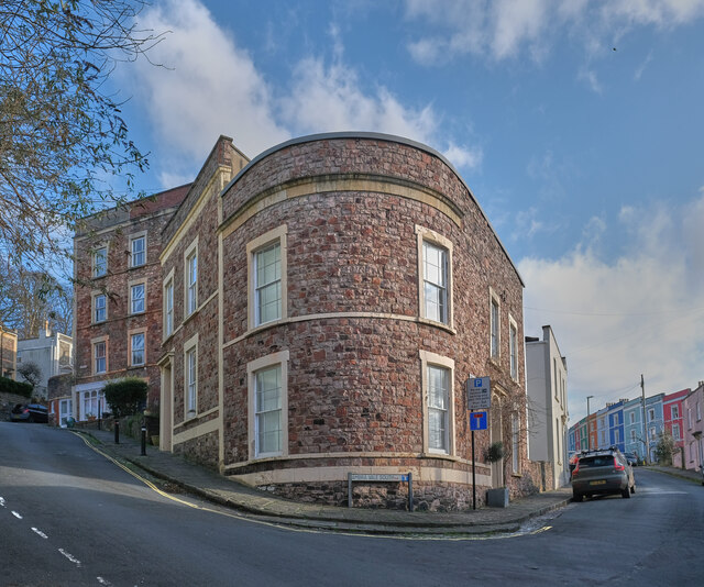
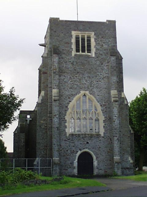
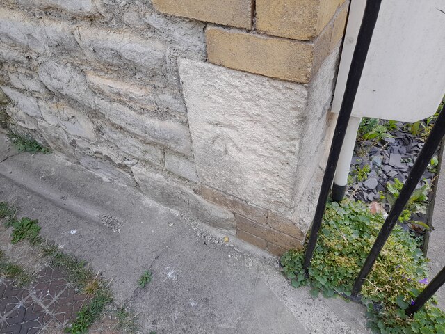
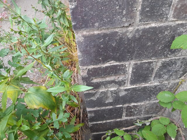
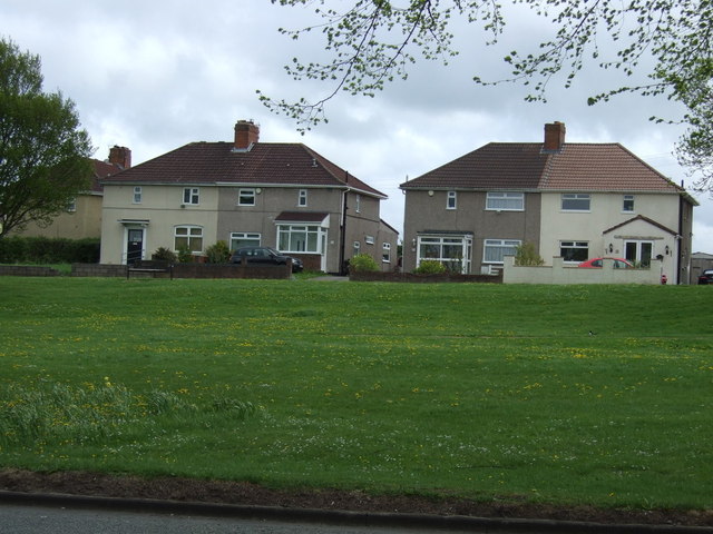
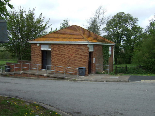
Ashton Park Images
Images are sourced within 2km of 51.440481/-2.6320654 or Grid Reference ST5671. Thanks to Geograph Open Source API. All images are credited.
Ashton Park is located at Grid Ref: ST5671 (Lat: 51.440481, Lng: -2.6320654)
Unitary Authority: Bristol
Police Authority: Avon and Somerset
What 3 Words
///pigs.bind.wisely. Near Long Ashton, Somerset
Nearby Locations
Related Wikis

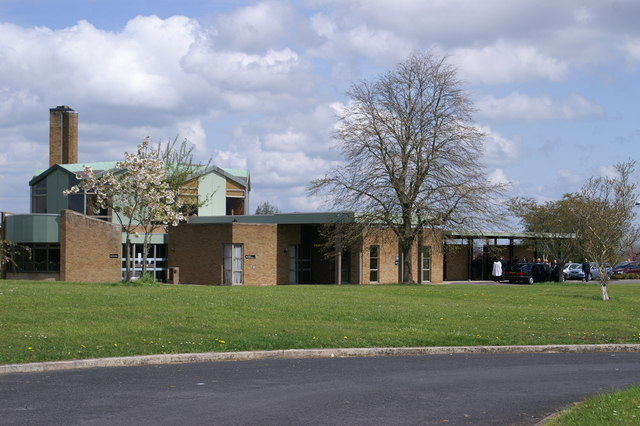
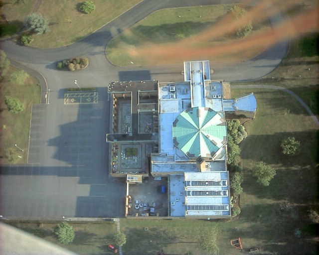
Ashton Park School
Ashton Park School is a coeducational secondary school and sixth form located in the Bower Ashton area of Bristol, England. == History == The school opened...

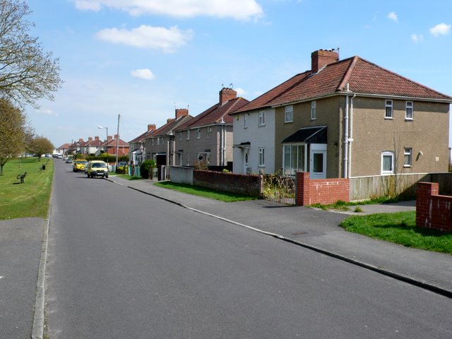
Bower Ashton
Bower Ashton is a village in south west Bristol on the western boundary with North Somerset, lying within the Southville ward, approximately two miles...

The Breeze (Frome & West Wiltshire)
Greatest Hits Radio Somerset (West Somerset) is an Independent Local Radio station serving Warminster, Westbury / Trowbridge in West Wiltshire / Frome...

Ashton Gate railway station
Ashton Gate railway station was a railway station serving the Ashton Gate area of Bristol, England, which included Ashton Gate football ground, the home...
Nearby Amenities
Located within 500m of 51.440481,-2.6320654Have you been to Ashton Park?
Leave your review of Ashton Park below (or comments, questions and feedback).