Flow Moss

Hill, Mountain in Westmorland Eden

England

Flow Moss

Moorland by Wasdale Beck From the A6 as it descends from Shap
Moorland by Wasdale Beck Credit: Eirian Evans

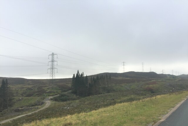
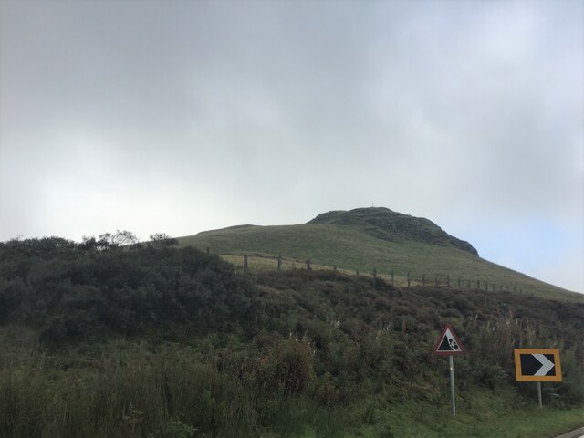
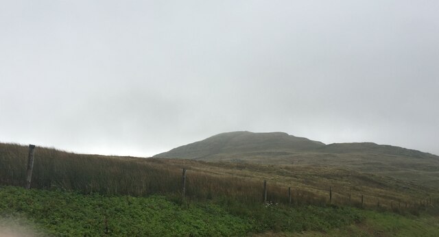
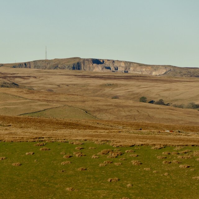
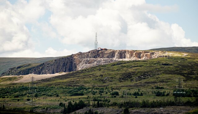
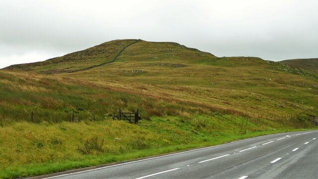
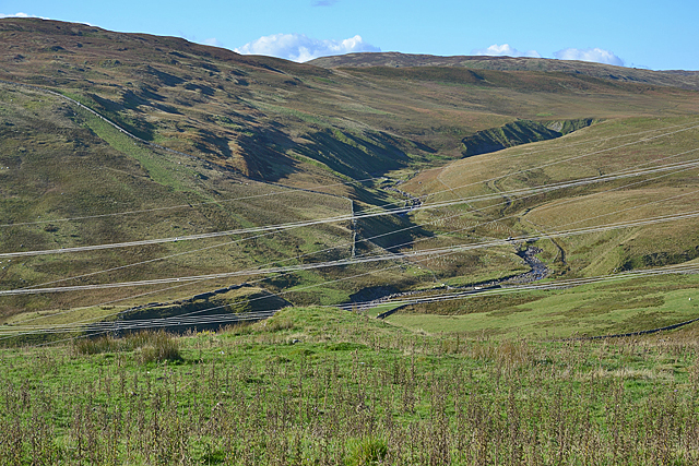
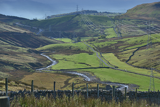
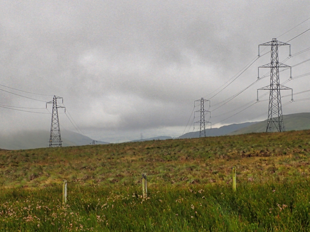
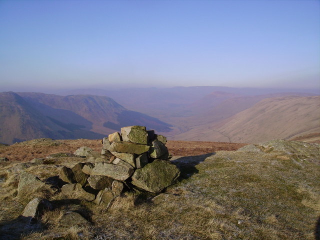
Flow Moss is a prominent hill located in the district of Westmorland in the northwestern region of England. Standing at an elevation of approximately 480 meters (1,575 feet), it is considered a significant landmark within the region. Flow Moss is situated within the picturesque Lake District National Park, renowned for its stunning natural beauty and diverse landscapes.

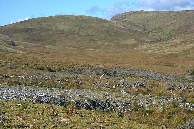
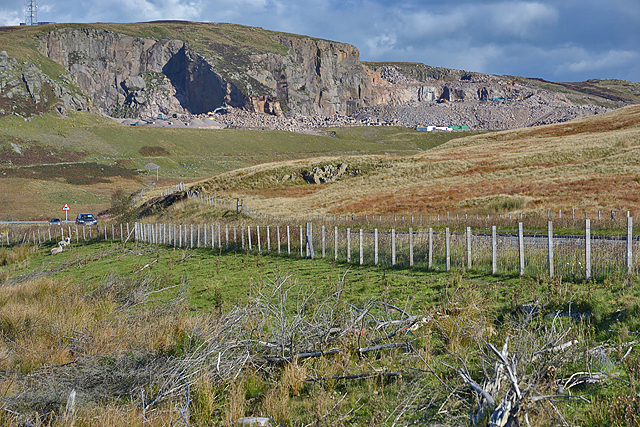
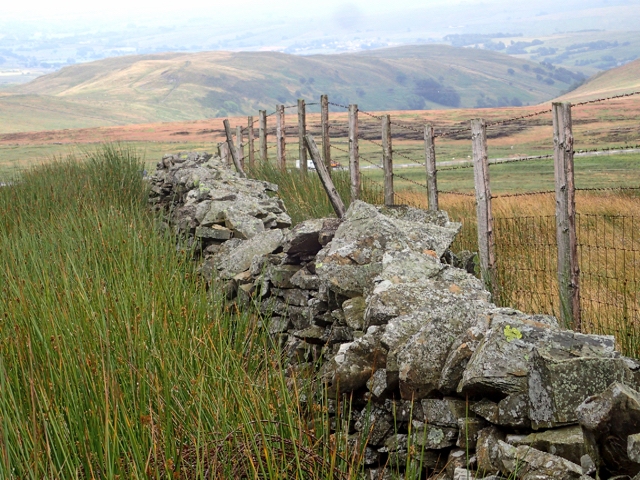
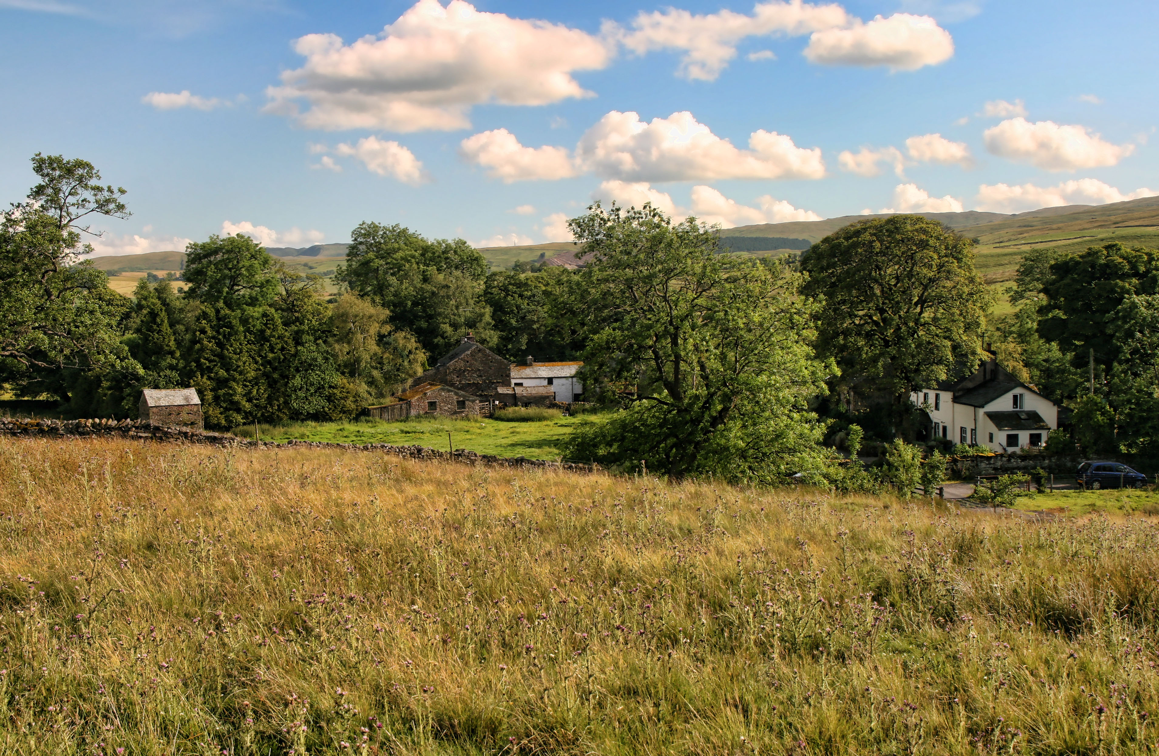
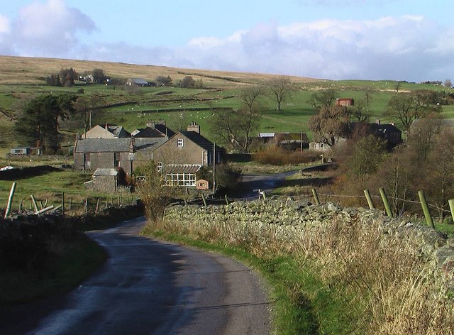
The hill is characterized by its distinct mossy covering, which gives it its name. This unique feature, coupled with the rolling green pastures and scattered rocky outcrops, creates a picturesque scenery that attracts visitors from near and far. The mossy terrain is a result of the high rainfall and damp climate that the Lake District experiences, providing ideal conditions for the growth of moss and other vegetation.

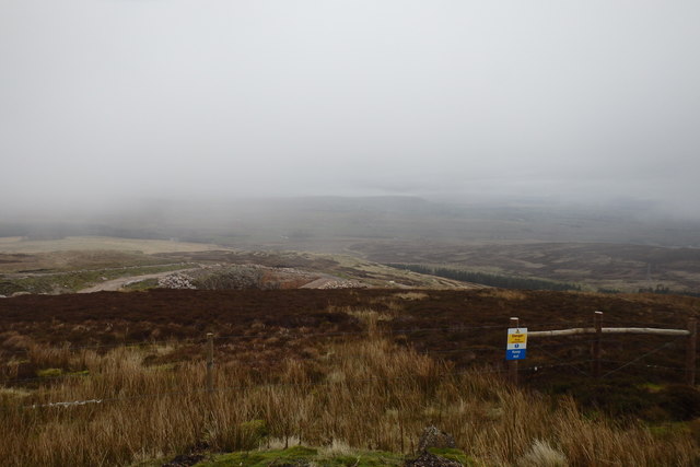
Flow Moss offers breathtaking panoramic views of the surrounding area, including the neighboring fells and the serene Lake Windermere, one of the largest lakes in England. The hill is a popular destination for hikers, nature enthusiasts, and photographers, who are drawn to its natural beauty and tranquility.

The area surrounding Flow Moss is also home to a variety of wildlife, including sheep, deer, and a diverse range of bird species. It serves as an important habitat for these animals, providing them with shelter and sustenance.

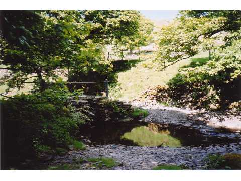
Visitors to Flow Moss can explore its numerous walking trails and enjoy the peaceful surroundings. The hill offers a unique opportunity to immerse oneself in nature and experience the breathtaking beauty of the Lake District.

If you have any feedback on the listing, please let us know in the comments section below.

Flow Moss Images

Images are sourced within 2km of 54.455791/-2.6727891 or Grid Reference NY5606. Thanks to Geograph Open Source API. All images are credited.

Moorland by Wasdale Beck From the A6 as it descends from Shap
Moorland by Wasdale Beck
From the A6 as it descends from Shap
Packhorse Hill On a drover's route from Salterworth to Shap
Packhorse Hill
On a drover's route from Salterworth to Shap
Crookdale Crag At 1404ft, Crookdale Crag is in the Eastern Fells
Crookdale Crag
At 1404ft, Crookdale Crag is in the Eastern Fells
Shap Pink Quarry Granite quarry above the M6.
Shap Pink Quarry
Granite quarry above the M6.
Shap Pink Quarry
Shap Pink Quarry
Crookdale Crag Towering above the A6 road
Crookdale Crag
Towering above the A6 road
View up Crookdale Somewhat ruined by the number of power lines.
View up Crookdale
Somewhat ruined by the number of power lines.
View down Crookdale On an improving morning as rain creeps away.
View down Crookdale
On an improving morning as rain creeps away.
Forestry clearfell and Wasdale This is the eastern Wasdale, not to be compared with the western one.
Forestry clearfell and Wasdale
This is the eastern Wasdale, not to be compared with the western one.
View towards Shap Pink Quarry With the A6 in the foreground.
View towards Shap Pink Quarry
With the A6 in the foreground.
On Long Fell Above the quarry
On Long Fell
Above the quarry
Ruined Wall/Fence, Cargill
Electricity transmission poles
A6 looking north, Crookdale The A6 is one of the main historic north south roads in England. At 299 miles long it is the fourth longest road in the country. It currently runs from Luton in Bedfordshire to Carlisle in Cumbria, although it formerly started at a junction with the A1 at Barnet.
Wikipedia: <span class="nowrap"><a title="http://en.wikipedia.org/wiki/A6_road_(England)" rel="nofollow ugc noopener" href="http://en.wikipedia.org/wiki/A6_road_(England)">Link</a><img style="margin-left:2px;" alt="External link" title="External link - shift click to open in new window" src="https://s1.geograph.org.uk/img/external.png" width="10" height="10"/></span> 
See also <span class="nowrap"><a title="http://www.sabre-roads.org.uk/wiki/index.php?title=A6" rel="nofollow ugc noopener" href="http://www.sabre-roads.org.uk/wiki/index.php?title=A6">Link</a><img style="margin-left:2px;" alt="External link" title="External link - shift click to open in new window" src="https://s1.geograph.org.uk/img/external.png" width="10" height="10"/></span> for more route detail.
A6 looking north, Crookdale
The A6 is one of the main historic north south roads in England. At 299 miles long it is the fourth longest road in the country. It currently runs from Luton in Bedfordshire to Carlisle in Cumbria, although it formerly started at a junction with the A1 at Barnet. Wikipedia: LinkExternal link See also LinkExternal link for more route detail.
Rocky outcrop beside the A6, Crookdale The A6 is one of the main historic north south roads in England. At 299 miles long it is the fourth longest road in the country. It currently runs from Luton in Bedfordshire to Carlisle in Cumbria, although it formerly started at a junction with the A1 at Barnet.
Wikipedia: <span class="nowrap"><a title="http://en.wikipedia.org/wiki/A6_road_(England)" rel="nofollow ugc noopener" href="http://en.wikipedia.org/wiki/A6_road_(England)">Link</a><img style="margin-left:2px;" alt="External link" title="External link - shift click to open in new window" src="https://s1.geograph.org.uk/img/external.png" width="10" height="10"/></span> 
See also <span class="nowrap"><a title="http://www.sabre-roads.org.uk/wiki/index.php?title=A6" rel="nofollow ugc noopener" href="http://www.sabre-roads.org.uk/wiki/index.php?title=A6">Link</a><img style="margin-left:2px;" alt="External link" title="External link - shift click to open in new window" src="https://s1.geograph.org.uk/img/external.png" width="10" height="10"/></span> for more route detail.
Rocky outcrop beside the A6, Crookdale
The A6 is one of the main historic north south roads in England. At 299 miles long it is the fourth longest road in the country. It currently runs from Luton in Bedfordshire to Carlisle in Cumbria, although it formerly started at a junction with the A1 at Barnet. Wikipedia: LinkExternal link See also LinkExternal link for more route detail.
Uphill towards Shap Heading north on the A6.
Uphill towards Shap
Heading north on the A6.
Bridleway off the A6 The A6 is one of the main historic north south roads in England. At 299 miles long it is the fourth longest road in the country. It currently runs from Luton in Bedfordshire to Carlisle in Cumbria, although it formerly started at a junction with the A1 at Barnet.
Wikipedia: <span class="nowrap"><a title="http://en.wikipedia.org/wiki/A6_road_(England)" rel="nofollow ugc noopener" href="http://en.wikipedia.org/wiki/A6_road_(England)">Link</a><img style="margin-left:2px;" alt="External link" title="External link - shift click to open in new window" src="https://s1.geograph.org.uk/img/external.png" width="10" height="10"/></span> 
See also <span class="nowrap"><a title="http://www.sabre-roads.org.uk/wiki/index.php?title=A6" rel="nofollow ugc noopener" href="http://www.sabre-roads.org.uk/wiki/index.php?title=A6">Link</a><img style="margin-left:2px;" alt="External link" title="External link - shift click to open in new window" src="https://s1.geograph.org.uk/img/external.png" width="10" height="10"/></span> for more route detail.
Bridleway off the A6
The A6 is one of the main historic north south roads in England. At 299 miles long it is the fourth longest road in the country. It currently runs from Luton in Bedfordshire to Carlisle in Cumbria, although it formerly started at a junction with the A1 at Barnet. Wikipedia: LinkExternal link See also LinkExternal link for more route detail.
Uphill towards Shap Heading north on the A6.
Uphill towards Shap
Heading north on the A6.
Show me another place!

Flow Moss is located at Grid Ref: NY5606 (Lat: 54.455791, Lng: -2.6727891)

Administrative County: Cumbria

District: Eden

Police Authority: Cumbria

What 3 Words

///pull.instilled.clotting. Near Shap, Cumbria

Related Wikis

Bretherdale Head

Bretherdale Head is a hamlet in Cumbria, England. Meaning "Valley of the Brother", it was referred to as Britherdal in the 12th century. == References ==

Birkbeck Fells

Birkbeck Fells is a township located in part of the parishes of Crosby Ravensworth, Orton and Shap in the historic county of Westmorland. It is a large...

Wasdale Horseshoe

The Wasdale Horseshoe is a group of hills on the eastern fringe of the English Lake District, to the west of the A6, south of Shap, Cumbria. They surround...

Scout Green

Scout Green is a hamlet and small area of farm land near the village of Tebay in Cumbria, England. == History == It is best known among railway enthusiasts...

Crookdale Horseshoe

The Crookdale Horseshoe is a group of hills on the eastern edge of the English Lake District, in Cumbria, west of the A6 road. They are the subject of...

Greenholme

Greenholme is a hamlet in Cumbria, England.The Greenholme Gala and Agricultural Show is held there annually.Greenholme Bridge crosses the Birk Beck in...

Borrowdale, Westmorland

Borrowdale is a valley in the English Lake District. It is located in the county of Westmorland, and is sometimes referred to as Westmorland Borrowdale...

Winterscleugh

Winterscleugh is a hill of 464 metres (1,522 ft) in Cumbria, England, to the east of the Lake District. It is in the far east of the Lake District National...

Nearby Amenities

Located within 500m of 54.455791,-2.6727891
Ele: 401.4
Is In Country Code: GB
Man Made: cairn
Natural: peak
Source: NPE
Lat/Long: 54.4542777/-2.6683348
The data included in this document is from www.openstreetmap.org. The data is made available under ODbL.

Have you been to Flow Moss?

Leave your review of Flow Moss below (or comments, questions and feedback).