Shap Fells
Downs, Moorland in Westmorland Eden
England
Shap Fells
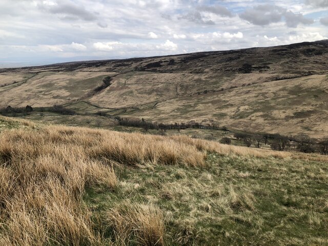
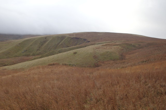
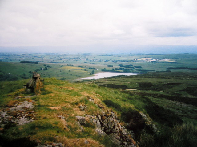
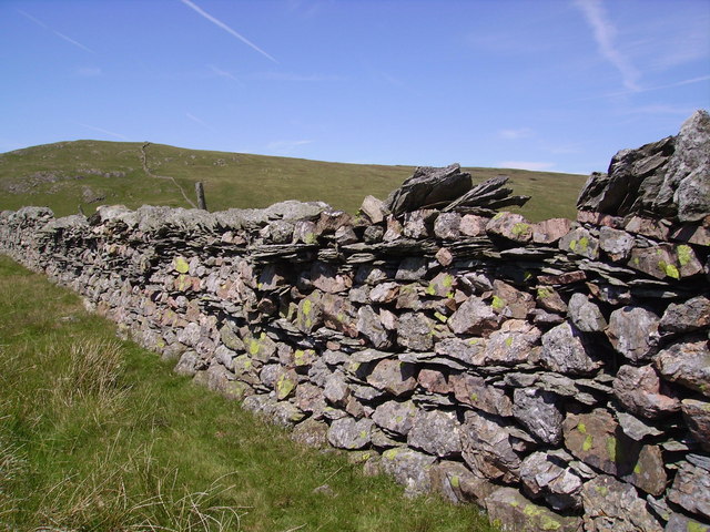
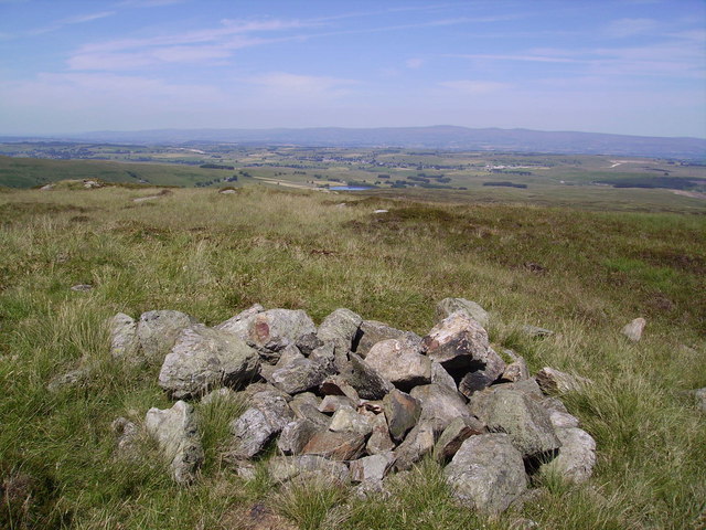
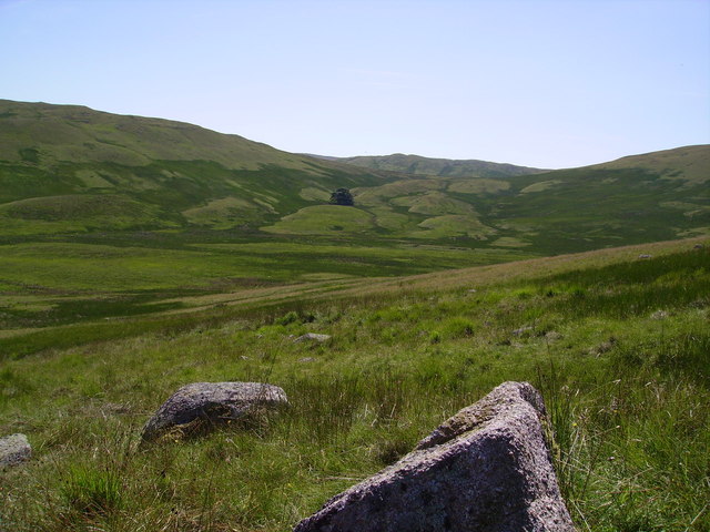
Shap Fells, located in the county of Westmorland in northwest England, is a unique and picturesque landscape characterized by its downs and moorland. Stretching across an area of approximately 30 square miles, it forms part of the larger Pennines mountain range. The fells are known for their stunning beauty and rugged terrain, attracting outdoor enthusiasts and nature lovers alike.
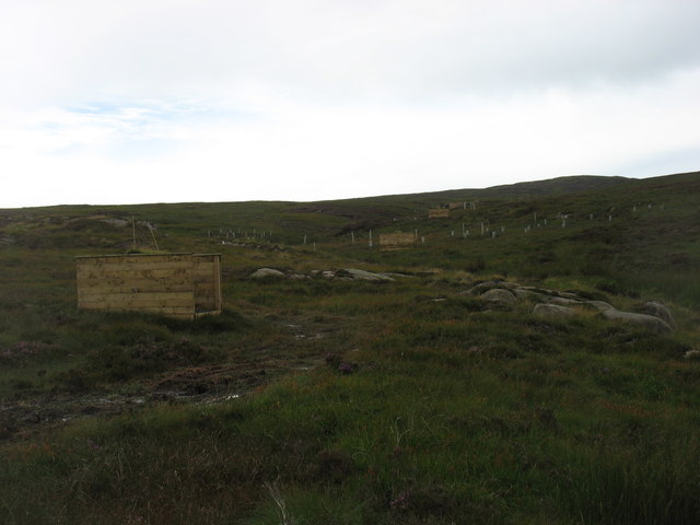
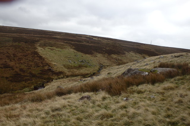
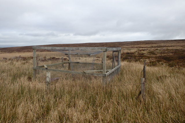
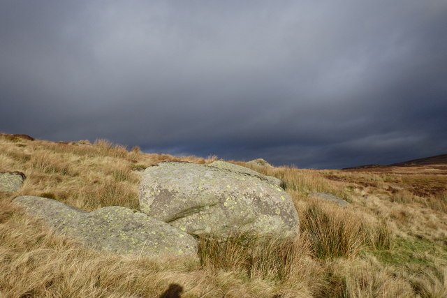
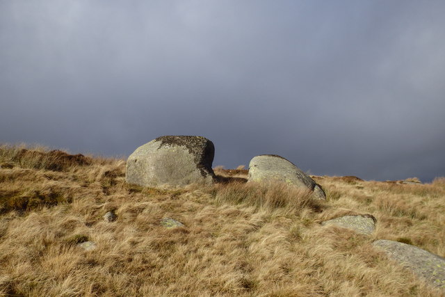
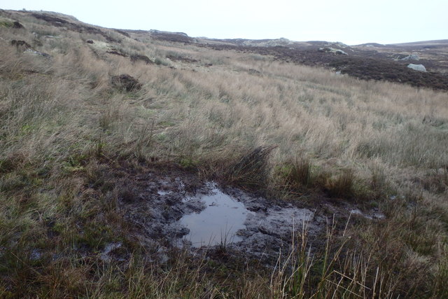
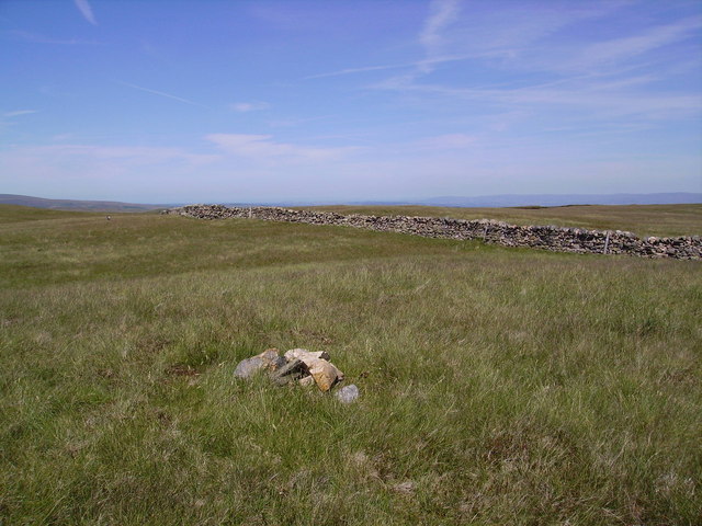
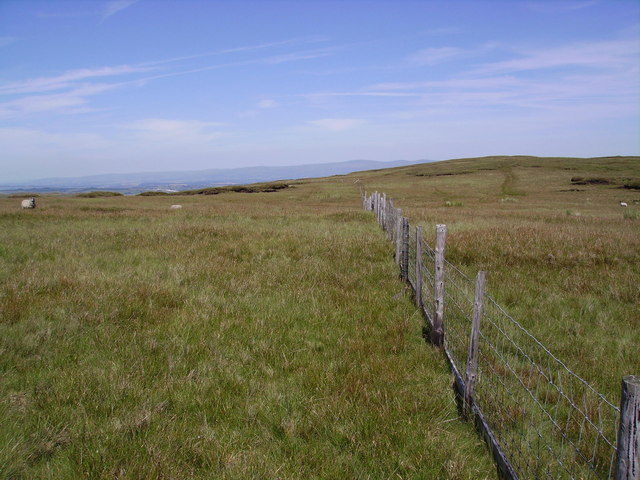
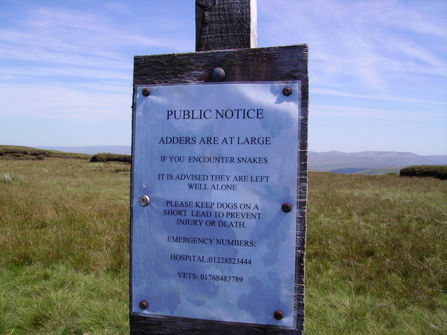
The downs of Shap Fells feature rolling hills with open grasslands, offering breathtaking views of the surrounding countryside. The moorland, on the other hand, is characterized by vast expanses of heather and peat bogs. This diverse landscape supports a wide variety of flora and fauna, including rare bird species such as golden plovers and merlins.
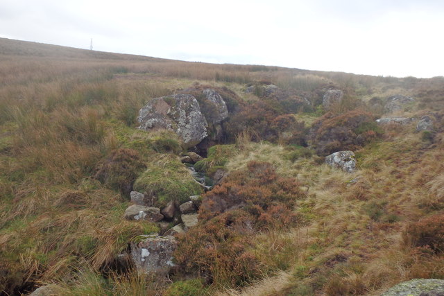
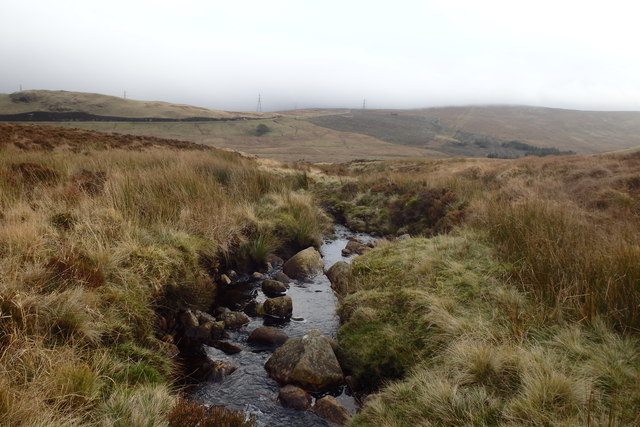
The fells are also home to several ancient archaeological sites, including stone circles and burial mounds, which provide insight into the area's rich history. Additionally, the fells are intersected by several streams and rivers, including the River Lowther and the River Lune, which add to the beauty and charm of the landscape.
Shap Fells offers numerous opportunities for outdoor activities, such as hiking, birdwatching, and photography. The region is crisscrossed by a network of footpaths and trails, allowing visitors to explore and appreciate the natural beauty of the area. The fells also serve as an important habitat for wildlife, with several nature reserves and protected areas within their boundaries.
Overall, Shap Fells, Westmorland, is a captivating and diverse landscape that showcases the beauty of England's countryside. Its downs and moorland, combined with its historical and archaeological significance, make it a must-visit destination for nature enthusiasts and those seeking an immersive outdoor experience.
If you have any feedback on the listing, please let us know in the comments section below.
Shap Fells Images
Images are sourced within 2km of 54.474204/-2.7182901 or Grid Reference NY5308. Thanks to Geograph Open Source API. All images are credited.
Shap Fells is located at Grid Ref: NY5308 (Lat: 54.474204, Lng: -2.7182901)
Administrative County: Cumbria
District: Eden
Police Authority: Cumbria
What 3 Words
///solving.ears.doubt. Near Shap, Cumbria
Nearby Locations
Related Wikis

Wasdale Horseshoe
The Wasdale Horseshoe is a group of hills on the eastern fringe of the English Lake District, to the west of the A6, south of Shap, Cumbria. They surround...
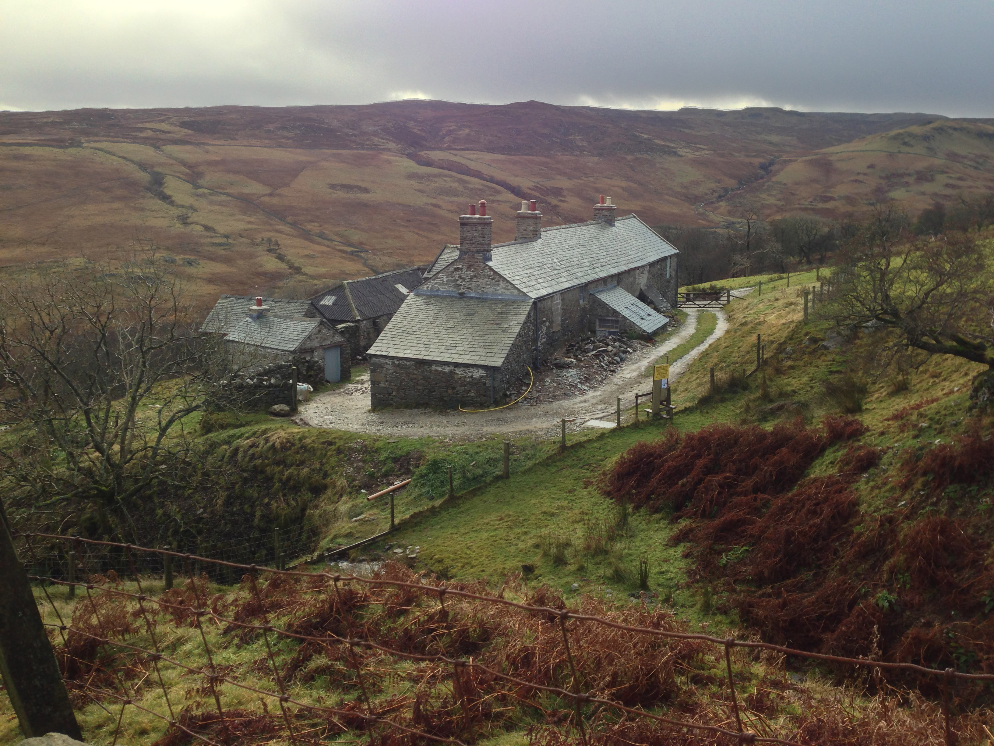
Sleddale Hall
Sleddale Hall is a farmhouse on the north side of the Wet Sleddale valley near Shap in Cumbria, England. It featured as "Crow Crag", Uncle Monty's Lake...

Seat Robert
Seat Robert is a hill in the east of the English Lake District, south west of Shap, Cumbria. It is the subject of a chapter of Wainwright's book The Outlying...

Wet Sleddale Reservoir
Wet Sleddale Reservoir is an artificial reservoir set amongst the Shap Fells 4 kilometres (2 mi) south of the village of Shap in Cumbria, England, and...
Related Videos

Ep13: On Holiday By Mistake
In this episode, I travel up to the Lake District to experience one of my favourite films- the 1987 cult film "Withnail and I" like never ...


Climbing Shap fell
Riding up to Shap fell summit.
Shap Fell Bothy 🏠 The Lake District ⛰️Family Adventures ❤️
Our cosy Christmas 2021 night spent at Shap Fell Bothy In The Lake District. We toasted marshmallows, played board games and ...
Have you been to Shap Fells?
Leave your review of Shap Fells below (or comments, questions and feedback).