Willey Moor

Downs, Moorland in Cheshire

England

Willey Moor

Hedge and trees by A41 The A41 road runs from London to Birkenhead. It passes through or near various towns and cities including Watford, Hemel Hempstead, Aylesbury, Solihull, Birmingham, West Bromwich, Wolverhampton, Newport, Whitchurch, Chester and Ellesmere Port. With the opening of the M40 in 1990 much of the route was downgraded.
Wikipedia: <span class="nowrap"><a title="http://en.wikipedia.org/wiki/A41_road" rel="nofollow ugc noopener" href="http://en.wikipedia.org/wiki/A41_road">Link</a><img style="margin-left:2px;" alt="External link" title="External link - shift click to open in new window" src="https://s1.geograph.org.uk/img/external.png" width="10" height="10"/></span>
Hedge and trees by A41 Credit: David Smith

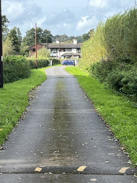
Willey Moor is a picturesque area located in Cheshire, England. Situated between the towns of Nantwich and Whitchurch, it is known for its beautiful downs and moorland landscapes that attract visitors and nature enthusiasts alike.

Covering an expansive area of around 500 acres, Willey Moor boasts a diverse range of natural habitats. The moorland is characterized by open expanses of heather and grasses, providing a haven for a variety of wildlife. Visitors can often spot birds such as curlews, lapwings, and skylarks, as well as small mammals like hares and voles.

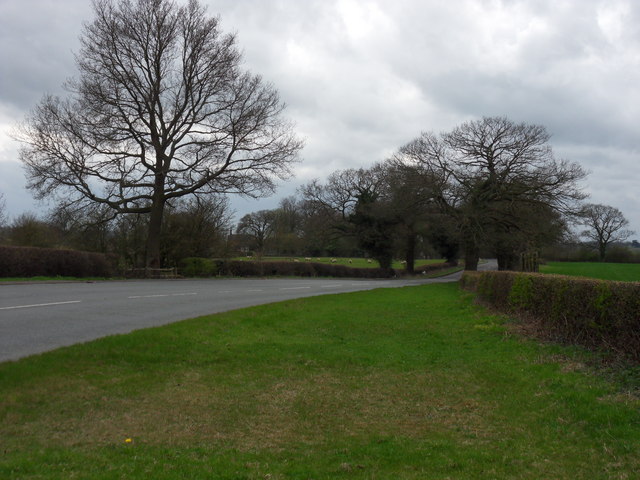
The downs of Willey Moor are a prominent feature, offering panoramic views of the surrounding countryside. These rolling hills are covered in lush grasses and scattered with wildflowers, creating a colorful and vibrant landscape. Walking trails crisscross the area, providing visitors with opportunities to explore the downs and take in the stunning vistas.

In addition to its natural beauty, Willey Moor also has a rich history. The area was once used for grazing livestock and evidence of old settlements can still be found, including ancient burial mounds and earthworks. The moor has been designated as a Site of Special Scientific Interest (SSSI) due to its ecological importance and historical significance.

Overall, Willey Moor is a captivating destination that offers visitors a chance to immerse themselves in the beauty of the Cheshire countryside. Whether exploring the moorland, admiring the views from the downs, or discovering its historical past, this area provides a tranquil and enchanting experience for all who visit.

If you have any feedback on the listing, please let us know in the comments section below.
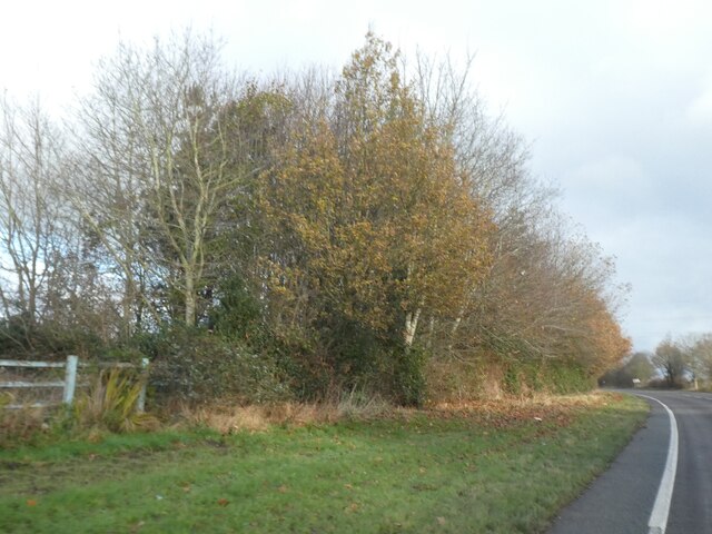
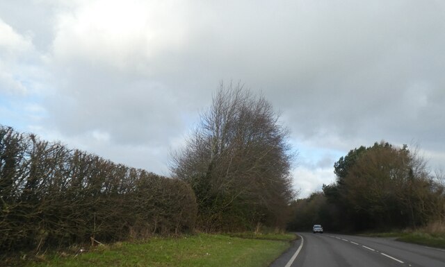
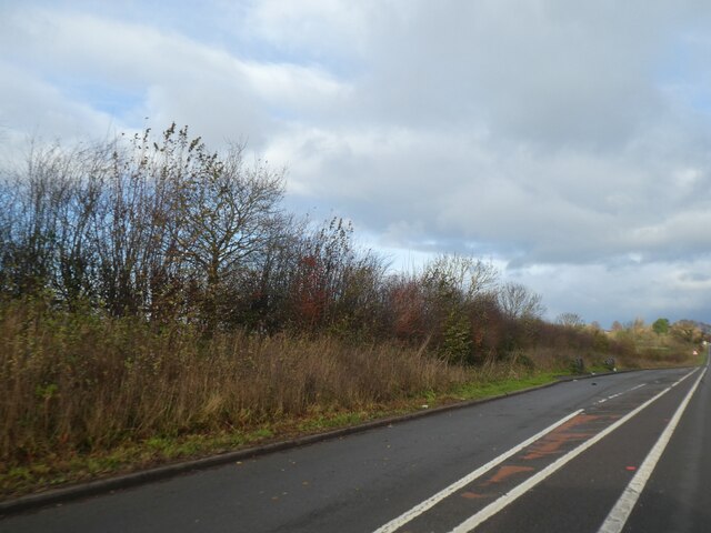
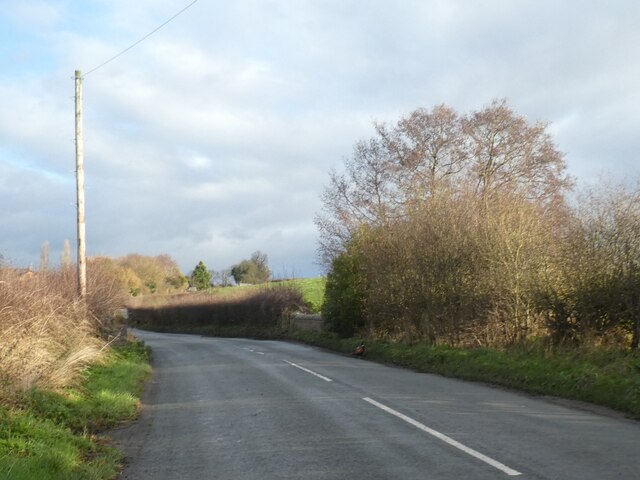
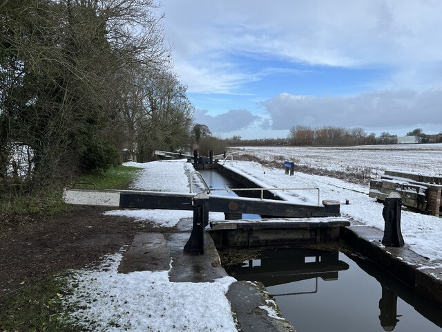
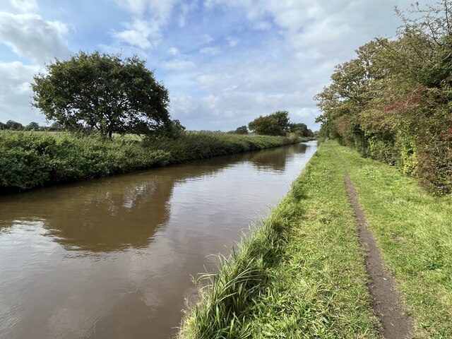
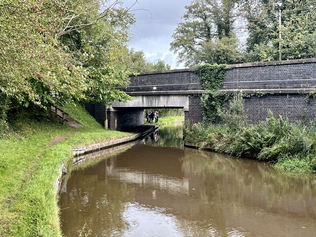
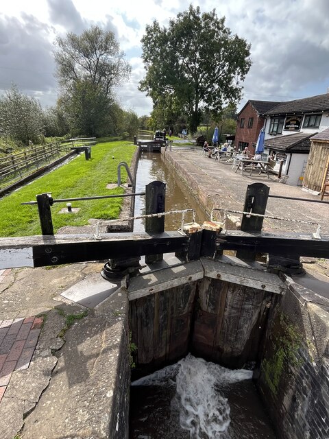
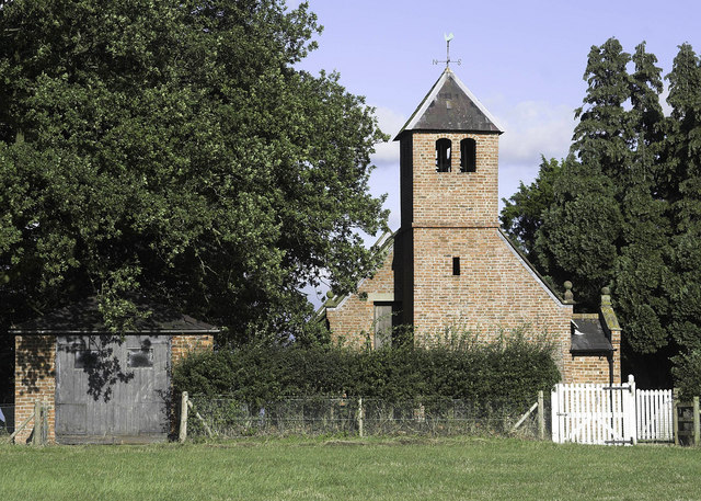
Willey Moor Images

Images are sourced within 2km of 53.012357/-2.6938194 or Grid Reference SJ5346. Thanks to Geograph Open Source API. All images are credited.

Hedge and trees by A41 The A41 road runs from London to Birkenhead. It passes through or near various towns and cities including Watford, Hemel Hempstead, Aylesbury, Solihull, Birmingham, West Bromwich, Wolverhampton, Newport, Whitchurch, Chester and Ellesmere Port. With the opening of the M40 in 1990 much of the route was downgraded.
Wikipedia: <span class="nowrap"><a title="http://en.wikipedia.org/wiki/A41_road" rel="nofollow ugc noopener" href="http://en.wikipedia.org/wiki/A41_road">Link</a><img style="margin-left:2px;" alt="External link" title="External link - shift click to open in new window" src="https://s1.geograph.org.uk/img/external.png" width="10" height="10"/></span>
Hedge and trees by A41
The A41 road runs from London to Birkenhead. It passes through or near various towns and cities including Watford, Hemel Hempstead, Aylesbury, Solihull, Birmingham, West Bromwich, Wolverhampton, Newport, Whitchurch, Chester and Ellesmere Port. With the opening of the M40 in 1990 much of the route was downgraded. Wikipedia: LinkExternal link
Trim and not-so-trim hedges by A41 The A41 road runs from London to Birkenhead. It passes through or near various towns and cities including Watford, Hemel Hempstead, Aylesbury, Solihull, Birmingham, West Bromwich, Wolverhampton, Newport, Whitchurch, Chester and Ellesmere Port. With the opening of the M40 in 1990 much of the route was downgraded.
Wikipedia: <span class="nowrap"><a title="http://en.wikipedia.org/wiki/A41_road" rel="nofollow ugc noopener" href="http://en.wikipedia.org/wiki/A41_road">Link</a><img style="margin-left:2px;" alt="External link" title="External link - shift click to open in new window" src="https://s1.geograph.org.uk/img/external.png" width="10" height="10"/></span>
Trim and not-so-trim hedges by A41
The A41 road runs from London to Birkenhead. It passes through or near various towns and cities including Watford, Hemel Hempstead, Aylesbury, Solihull, Birmingham, West Bromwich, Wolverhampton, Newport, Whitchurch, Chester and Ellesmere Port. With the opening of the M40 in 1990 much of the route was downgraded. Wikipedia: LinkExternal link
Lay-by by A41 south of No Man's Heath A protected lay-by by the northbound lane.  This is part of a major realignment of the road
Lay-by by A41 south of No Man's Heath
A protected lay-by by the northbound lane. This is part of a major realignment of the road
Bickley Town Bridge The bridge parapet on the right marks the crossing of Bickley Brook
Bickley Town Bridge
The bridge parapet on the right marks the crossing of Bickley Brook
Povey's Lock On the Llangollen Canal.
Povey's Lock
On the Llangollen Canal.
Steer Bridge Bridge 24 on the Llangollen canal.
Steer Bridge
Bridge 24 on the Llangollen canal.
Llangollen canal North-west of Marbury.
Llangollen canal
North-west of Marbury.
Quoisley Canal Bridge Carrying the busy A41 over the Llangollen Canal.
Quoisley Canal Bridge
Carrying the busy A41 over the Llangollen Canal.
Willeymoor Lock On the Llangollen Canal.
Willeymoor Lock
On the Llangollen Canal.
Access road to the Willeymoor Tavern
Willey Moor Lock north of Whitchurch but in Cheshire The lock is on the Llangollen Canal and the pub is one of the most convenient gongoozling venues around! The lock raises (or lowers) the water by six feet (about 1.8 metres).

The image has been scanned from a Fujifilm negative dating from August 1998.
Willey Moor Lock north of Whitchurch but in Cheshire
The lock is on the Llangollen Canal and the pub is one of the most convenient gongoozling venues around! The lock raises (or lowers) the water by six feet (about 1.8 metres). The image has been scanned from a Fujifilm negative dating from August 1998.
A Forty Nine The A49 near Swanick Green, leading to Whitchurch.
A Forty Nine
The A49 near Swanick Green, leading to Whitchurch.
Llangollen Canal:  Paddle gear at Willeymoor Lock
Llangollen Canal: Paddle gear at Willeymoor Lock
Lay-by beside A41south of No Mans Heath
Welcome to Cheshire on the A49
A49 at Bradeley Green
A49 north of Bradeley Green
A49 at Greenacre
A49 at Greenacre
Show me another place!

Willey Moor is located at Grid Ref: SJ5346 (Lat: 53.012357, Lng: -2.6938194)

Unitary Authority: Cheshire West and Chester

Police Authority: Cheshire

What 3 Words

///exchanges.stun.pavilions. Near Bickley, Cheshire

Nearby Locations

Willey Moor

Related Wikis

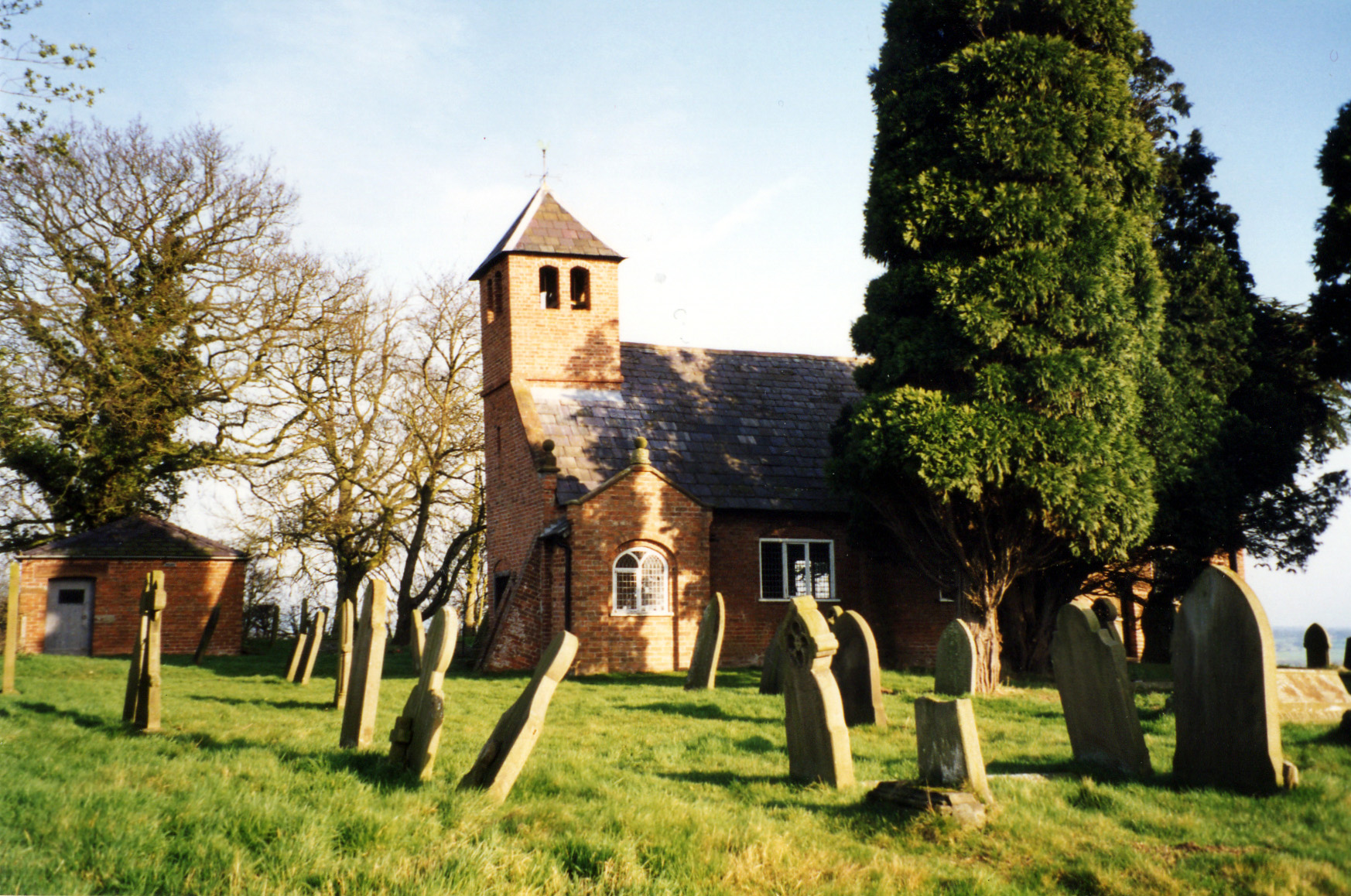
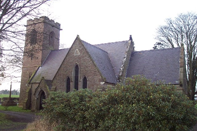
St Chad's Chapel, Tushingham

St Chad's Chapel (often referred to as Old St Chad's) is an isolated church in the scattered community of Tushingham in the civil parish of Tushingham...

Tushingham cum Grindley

Tushingham cum Grindley is a former civil parish, now in the parish of Tushingham-cum-Grindley, Macefen and Bradley, in the unitary authority of Cheshire...

St Chad's Church, Tushingham

St Chad's Church is on Chester Road (the A41) in the civil parish of Tushingham-cum-Grindley, Macefen and Bradley, Cheshire, England. It is an active...

Tushingham Hall

Tushingham Hall is a country house in Tushingham, Cheshire, England. Formerly a moated farmhouse, it was remodelled in the early 19th century for Daniel...

Nearby Amenities

Located within 500m of 53.012357,-2.6938194
Barrier: kissing_gate
Lat/Long: 53.0117384/-2.6947889
Seamark Type: gate
Waterway: lock_gate
Lat/Long: 53.0107231/-2.6891246
Seamark Type: gate
Waterway: lock_gate
Lat/Long: 53.0109284/-2.6890609
Barrier: stile
Lat/Long: 53.0142126/-2.6982579
Barrier: stile
Lat/Long: 53.0133425/-2.7005253
Barrier: stile
Lat/Long: 53.0131578/-2.7010875
Barrier: stile
Lat/Long: 53.0145853/-2.6965466
Barrier: stile
Lat/Long: 53.013201/-2.7009613
Barrier: stile
Lat/Long: 53.0141941/-2.6983524
Power: pole
Lat/Long: 53.016391/-2.6907532
Power: pole
Lat/Long: 53.0127733/-2.6974404
Power: pole
Lat/Long: 53.0151528/-2.6919279
Power: pole
Lat/Long: 53.0115623/-2.6998065
Power: pole
Lat/Long: 53.0140789/-2.6947449
Power: pole
Lat/Long: 53.0145386/-2.6908606
Power: pole
Lat/Long: 53.0159998/-2.6908409
Power: pole
Lat/Long: 53.0121977/-2.6985016
Power: pole
Lat/Long: 53.0151814/-2.6921913
Power: pole
Lat/Long: 53.013293/-2.6886858
Power: pole
Lat/Long: 53.0134543/-2.6959142
Power: pole
Lat/Long: 53.0154005/-2.6917369
Power: pole
Lat/Long: 53.0110217/-2.7007189
Power: pole
Lat/Long: 53.0147091/-2.6934066
Power: pole
Lat/Long: 53.0139085/-2.6897658
Power: pole
Lat/Long: 53.0147139/-2.6934236
Power: pole
Lat/Long: 53.0151765/-2.6921825
Power: pole
Lat/Long: 53.015153/-2.6919521
Power: pole
Lat/Long: 53.0155997/-2.6909246
Power: pole
Lat/Long: 53.0153985/-2.6917387
The data included in this document is from www.openstreetmap.org. The data is made available under ODbL.

Have you been to Willey Moor?

Leave your review of Willey Moor below (or comments, questions and feedback).