Wasdale Pike
Hill, Mountain in Westmorland Eden
England
Wasdale Pike
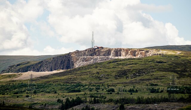
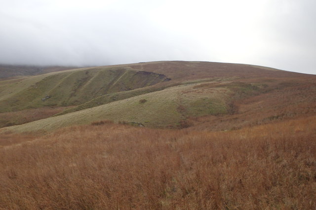
Wasdale Pike is a prominent hill located in the county of Westmorland, England. It is situated in the southern part of the Lake District National Park, near the village of Wasdale. With an elevation of 1,893 feet (577 meters), it is considered a mountain rather than just a hill.
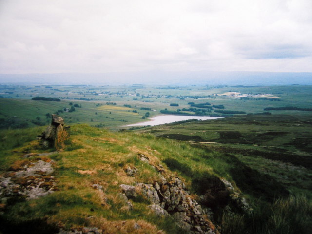
The mountain is known for its distinctive pyramid shape and offers breathtaking views of the surrounding area. Its summit provides panoramic vistas of the nearby Scafell Pike, England's highest peak, as well as other notable mountains like Great Gable and Pillar. On clear days, it is even possible to see as far as the Isle of Man and the Scottish mountains.
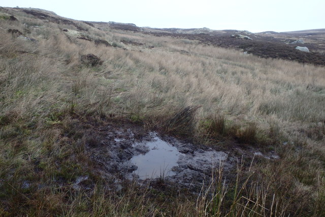
Wasdale Pike is a popular destination for hikers and mountaineers, with several routes available to reach its summit. One of the most common routes is from the Wasdale Head Inn, following a path that gradually ascends through grassy slopes and rocky terrain. The climb can be challenging in certain sections, but the reward of reaching the summit makes it worthwhile.
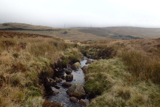
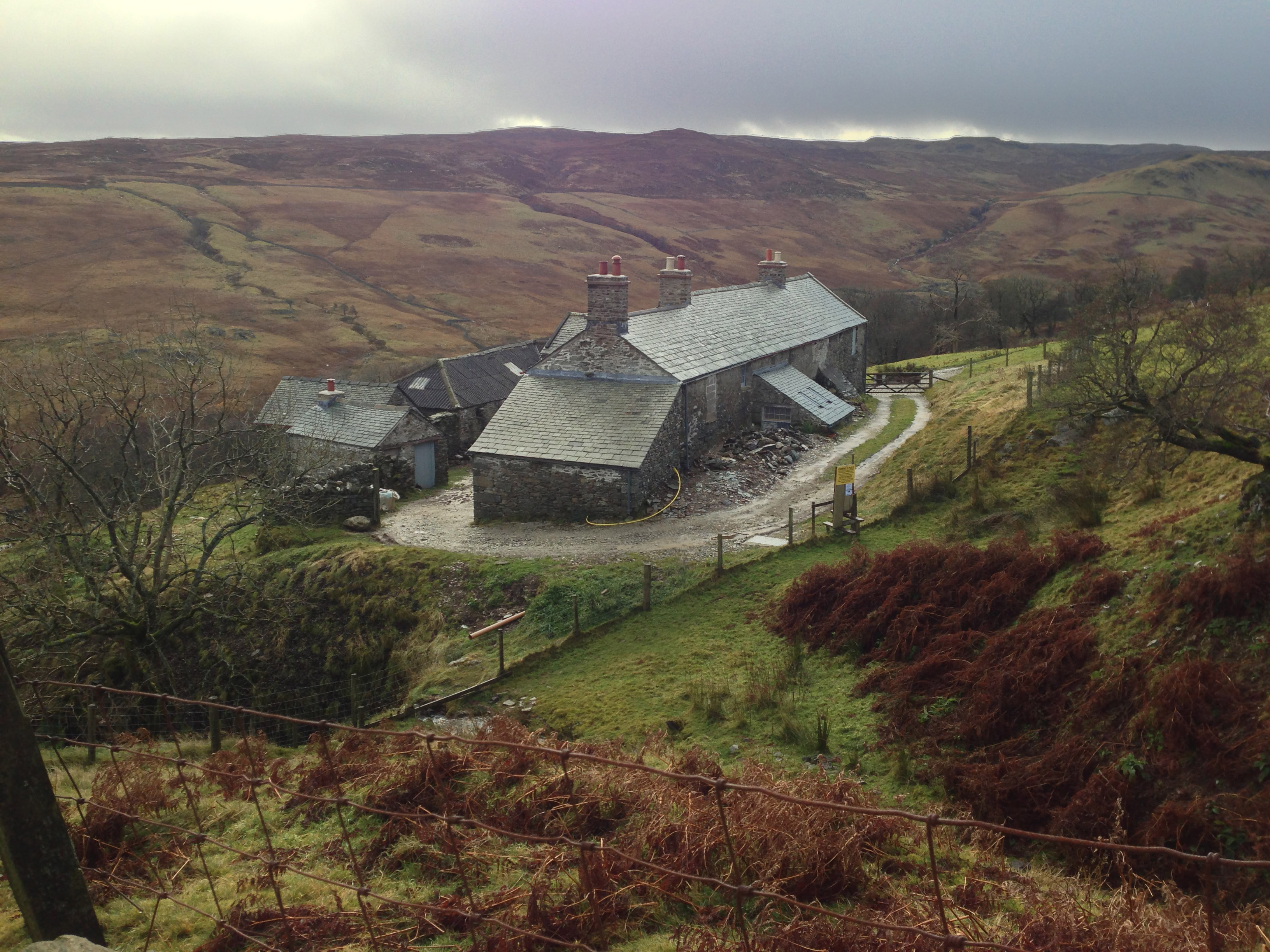
The surrounding area of Wasdale Pike is also renowned for its natural beauty. The region is characterized by deep valleys, serene lakes, and picturesque woodlands, making it a haven for nature enthusiasts. Additionally, the nearby Wastwater Lake, England's deepest lake, adds to the allure of the landscape.
Overall, Wasdale Pike is a stunning mountain that offers a memorable hiking experience and stunning views of the Lake District. Whether you are a seasoned mountaineer or a casual walker, this iconic peak is an excellent choice for exploring the beauty of Westmorland.
If you have any feedback on the listing, please let us know in the comments section below.
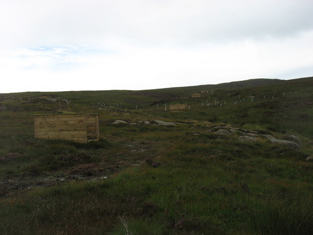
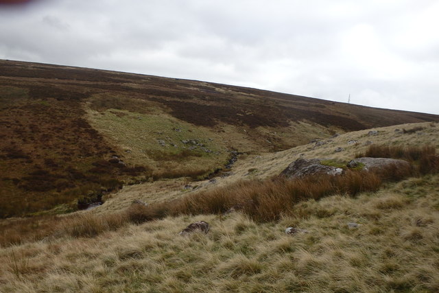
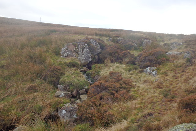
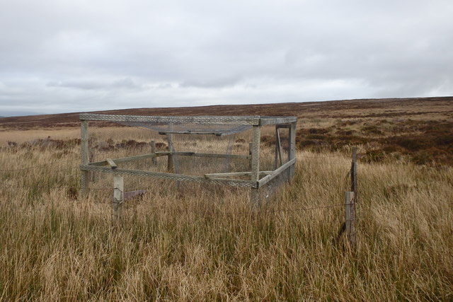
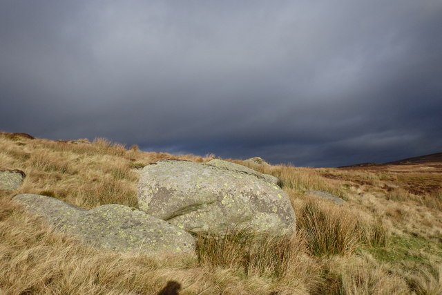
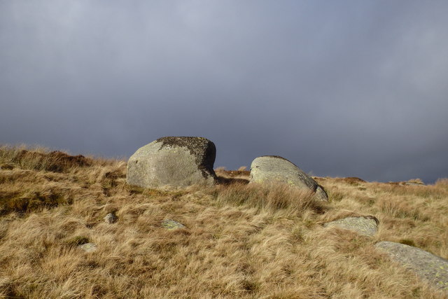
Wasdale Pike Images
Images are sourced within 2km of 54.469457/-2.717204 or Grid Reference NY5308. Thanks to Geograph Open Source API. All images are credited.


Wasdale Pike is located at Grid Ref: NY5308 (Lat: 54.469457, Lng: -2.717204)
Administrative County: Cumbria
District: Eden
Police Authority: Cumbria
What 3 Words
///gradually.thirsty.spilled. Near Shap, Cumbria
Nearby Locations
Related Wikis

Wasdale Horseshoe
The Wasdale Horseshoe is a group of hills on the eastern fringe of the English Lake District, to the west of the A6, south of Shap, Cumbria. They surround...

Crookdale Horseshoe
The Crookdale Horseshoe is a group of hills on the eastern edge of the English Lake District, in Cumbria, west of the A6 road. They are the subject of...
Sleddale Hall
Sleddale Hall is a farmhouse on the north side of the Wet Sleddale valley near Shap in Cumbria, England. It featured as "Crow Crag", Uncle Monty's Lake...

Wet Sleddale Reservoir
Wet Sleddale Reservoir is an artificial reservoir set amongst the Shap Fells 4 kilometres (2 mi) south of the village of Shap in Cumbria, England, and...
Nearby Amenities
Located within 500m of 54.469457,-2.717204Have you been to Wasdale Pike?
Leave your review of Wasdale Pike below (or comments, questions and feedback).