Beechwood
Downs, Moorland in Shropshire
England
Beechwood
Beechwood is a picturesque village located in the county of Shropshire, England. Situated in the heart of the Downs and Moorland region, the village is renowned for its natural beauty and tranquil atmosphere.
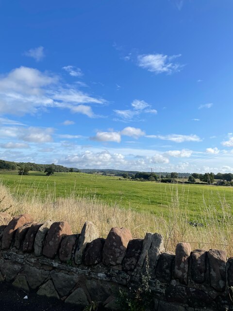
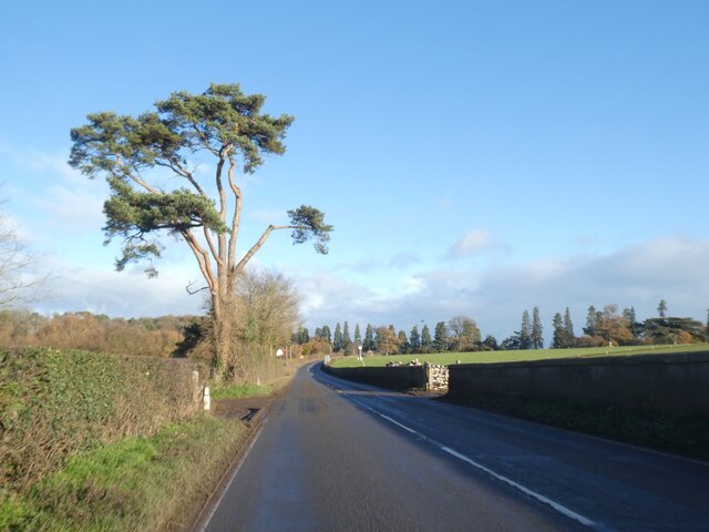
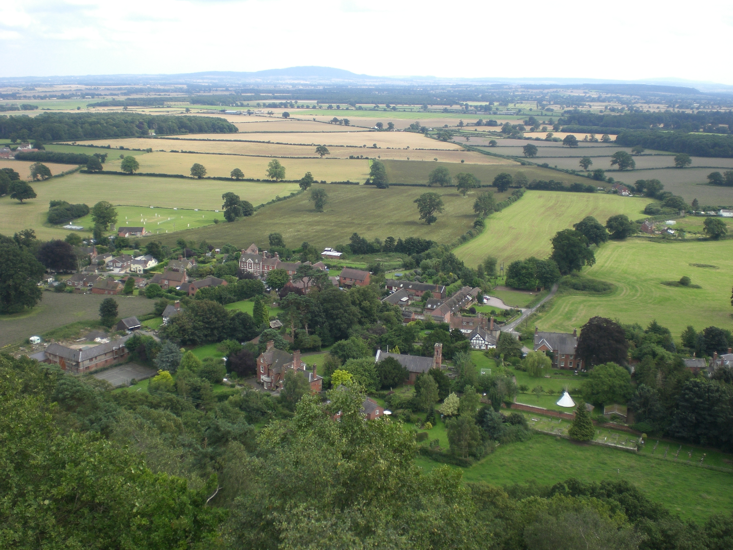
Surrounded by rolling hills and lush green meadows, Beechwood offers stunning panoramic views of the surrounding countryside. The village is characterized by its charming stone cottages, well-maintained gardens, and traditional architecture, which adds to its timeless appeal.
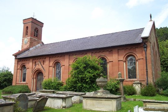
Beechwood is known for its close-knit community, with friendly and welcoming locals who take pride in their village. The village center features a quaint church, a local post office, and a small village shop, providing the essential amenities for residents and visitors alike.
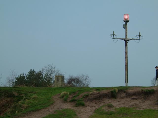
Nature enthusiasts are drawn to Beechwood for its abundant wildlife and scenic walking trails. The Downs and Moorland area is home to a diverse range of flora and fauna, making it a haven for birdwatchers and nature photographers. The village also boasts several well-preserved ancient woodlands, offering opportunities for peaceful walks and picnics amidst the natural beauty.
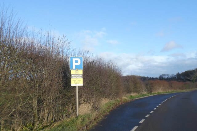
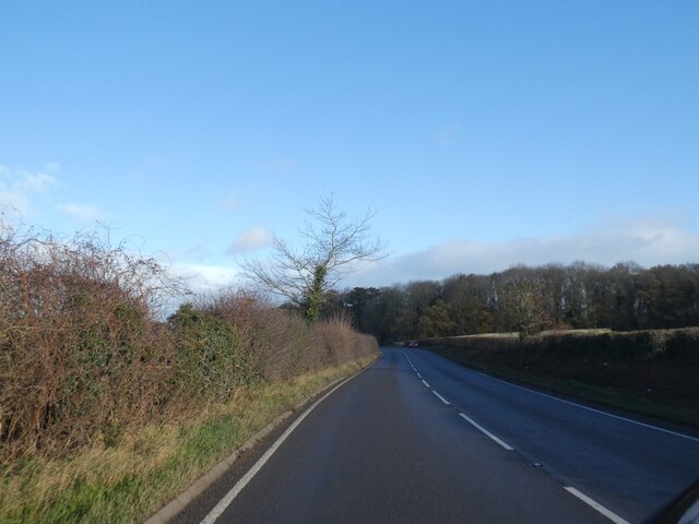
Despite its rural setting, Beechwood enjoys good transport links, with easy access to the nearby towns and cities. The village is well-connected via a reliable bus service, and the nearest train station is just a short drive away.
In summary, Beechwood in Shropshire, England, is a picturesque village nestled in the Downs and Moorland region. With its stunning natural landscapes, charming architecture, and friendly community, Beechwood offers a peaceful retreat for visitors seeking a taste of rural England.
If you have any feedback on the listing, please let us know in the comments section below.
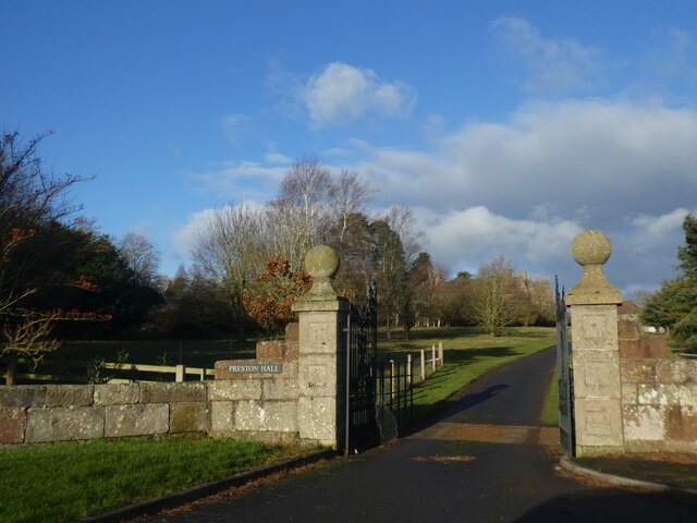
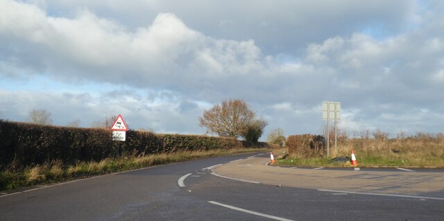
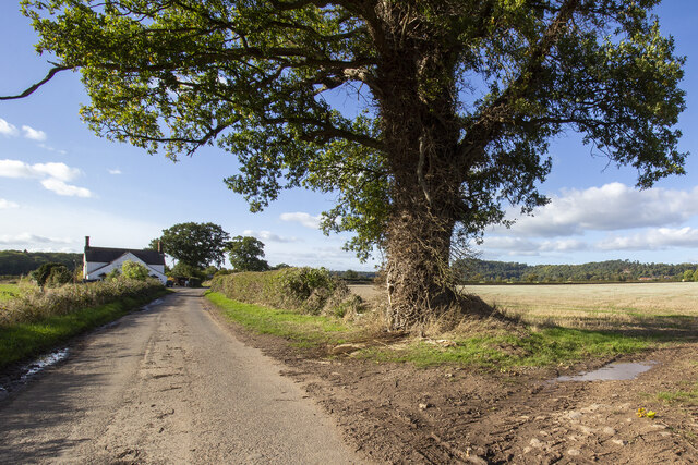
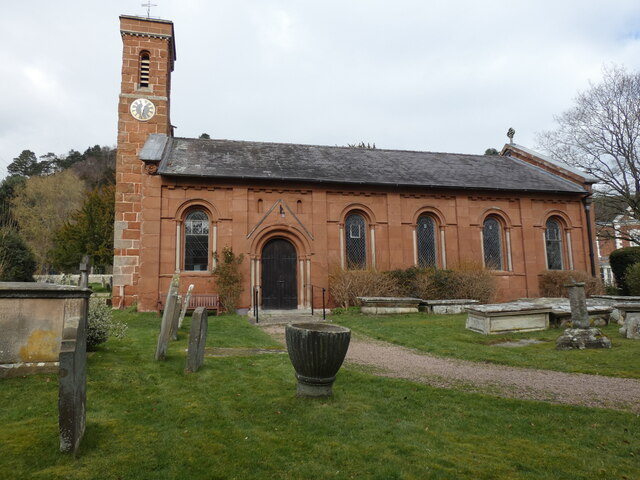
Beechwood Images
Images are sourced within 2km of 52.81108/-2.6941402 or Grid Reference SJ5323. Thanks to Geograph Open Source API. All images are credited.


Beechwood is located at Grid Ref: SJ5323 (Lat: 52.81108, Lng: -2.6941402)
Unitary Authority: Shropshire
Police Authority: West Mercia
What 3 Words
///meanwhile.regal.bounty. Near Clive, Shropshire
Nearby Locations
Related Wikis

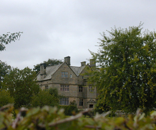
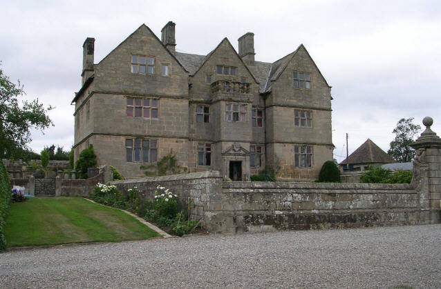
Acton Reynald Hall
Acton Reynald Hall is a 19th-century country house at Acton Reynald, Moreton Corbet, Shropshire, England. It is a Grade II* listed building.The Corbet...

Acton Reynald
Acton Reynald is a village in the north of Shropshire, England. The village is more of a hamlet in that it does not contain a public house, Post Office...

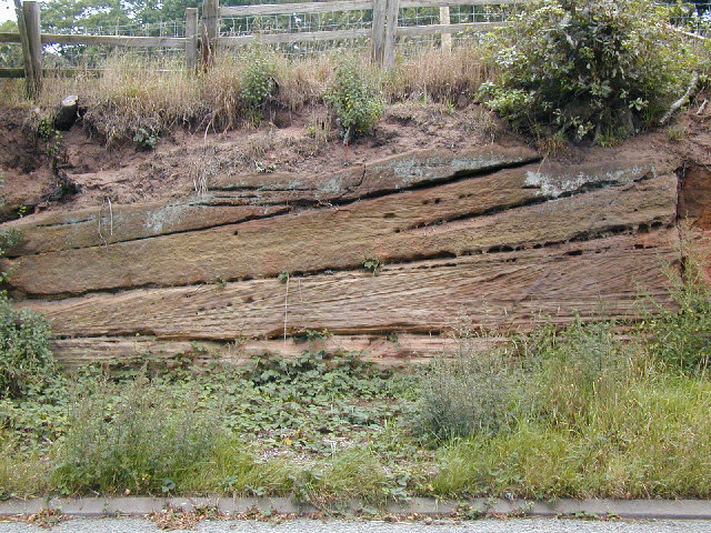
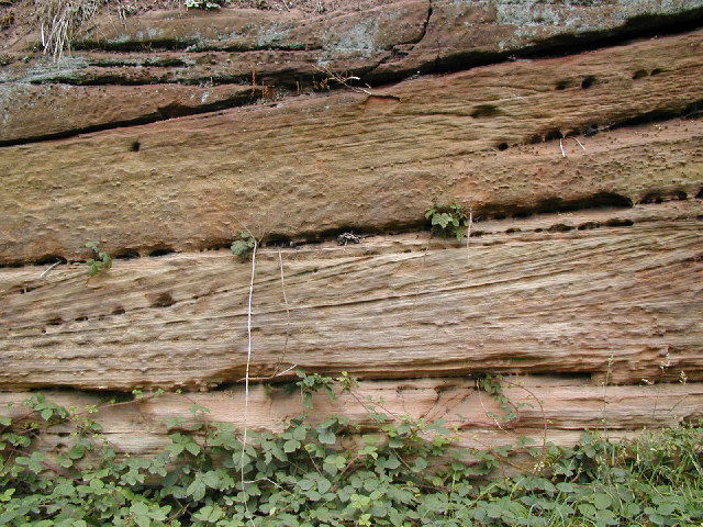
Corbet Wood and Grinshill
Corbet Wood Countryside Heritage Site and Grinshill Site is a mixture of a woodland and quarrying site in Shropshire. It has been designated a SSSI due...
Grinshill
Grinshill is a small village, and civil parish in Shropshire, England, United Kingdom. The parish is one of the smallest in the district. The population...

Clive, Shropshire
Clive is a village and civil parish in Shropshire, England, United Kingdom. Clive is situated around the west side of Grinshill Hill. Grinshill sandstone...
RAF Bridleway Gate
Royal Air Force Bridleway Gate, or more simply RAF Bridleway Gate, is a former Royal Air Force satellite airfield located in Shropshire. The following...
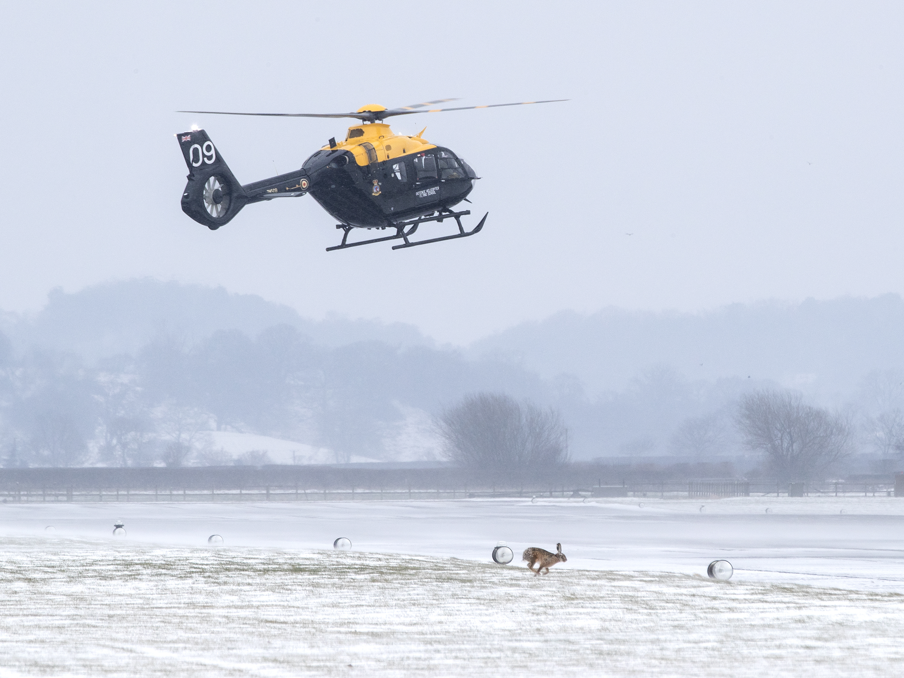
RAF Shawbury
Royal Air Force Shawbury, otherwise known as RAF Shawbury, is a Royal Air Force station near the village of Shawbury in Shropshire in the West Midlands...

Moreton Corbet and Lee Brockhurst
Moreton Corbet and Lee Brockhurst is a civil parish in Shropshire, England. It is the result of a merger of two older parishes - Moreton Corbet and Lee...
Nearby Amenities
Located within 500m of 52.81108,-2.6941402Have you been to Beechwood?
Leave your review of Beechwood below (or comments, questions and feedback).