Acton Reynald
Settlement in Shropshire
England
Acton Reynald
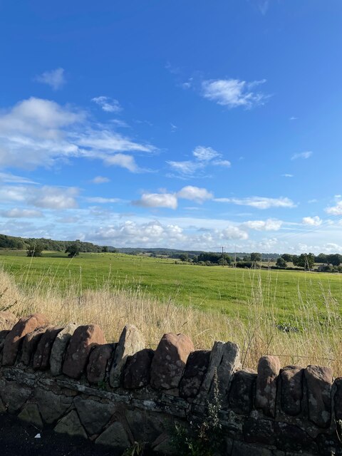
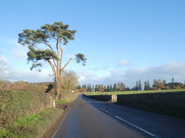
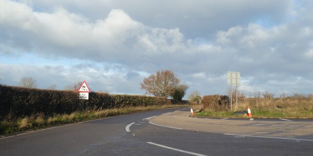
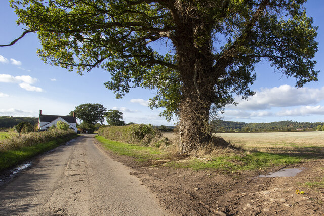
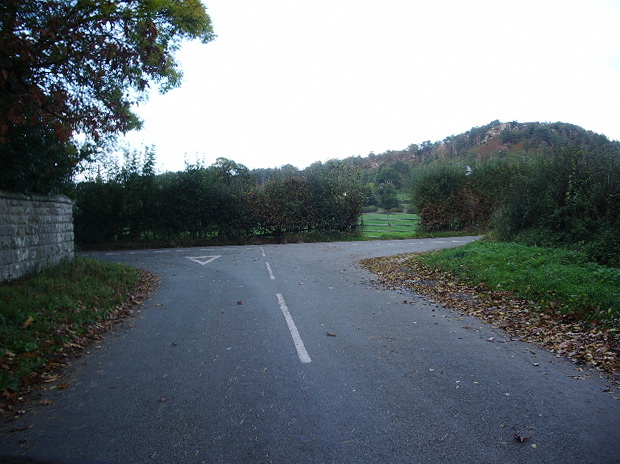
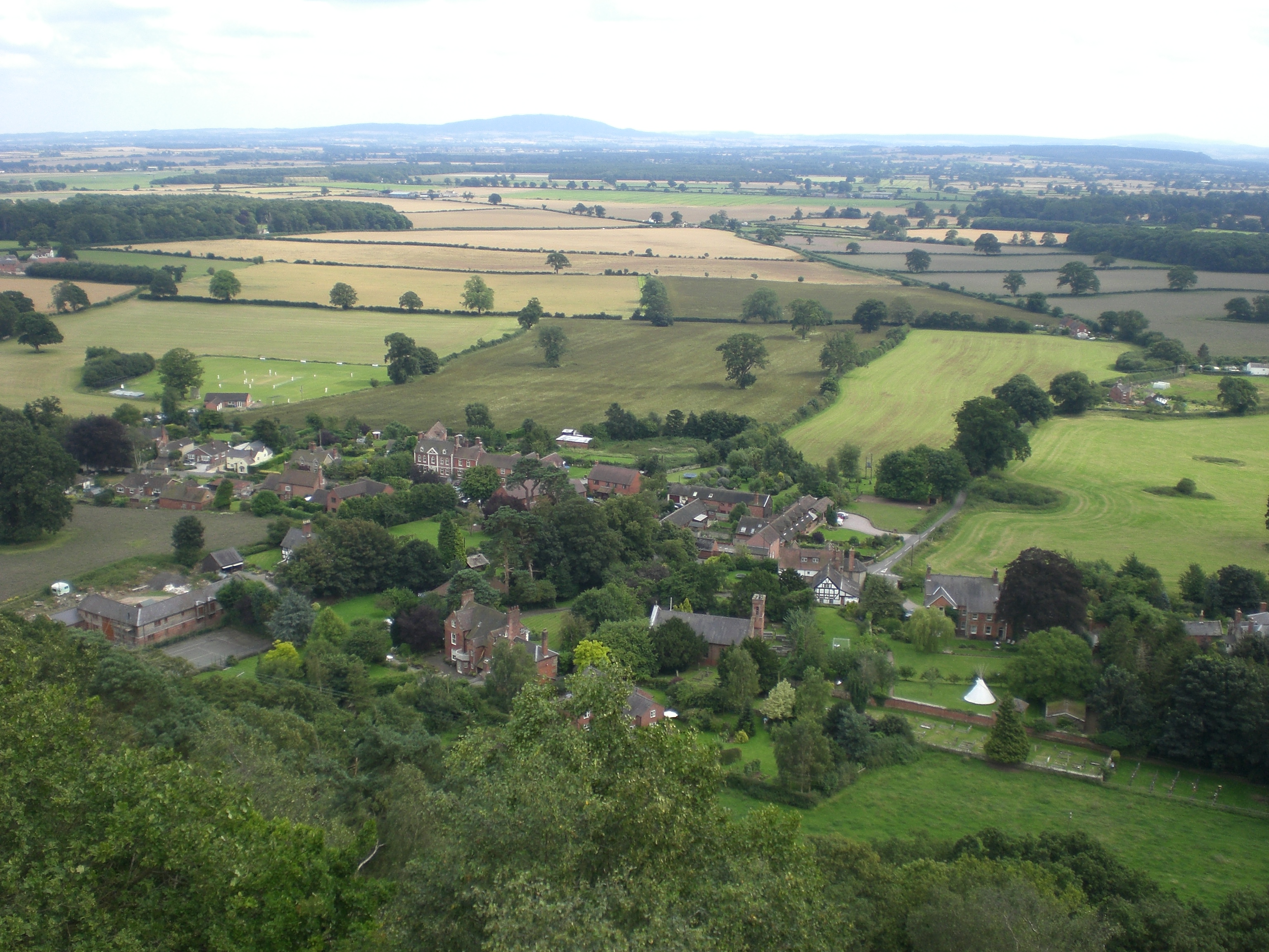
Acton Reynald is a small village located in the county of Shropshire, England. Situated approximately 7 miles southeast of the county town of Shrewsbury, Acton Reynald is known for its picturesque countryside and peaceful atmosphere. The village is nestled in a rural setting, surrounded by rolling hills, green fields, and meandering streams.
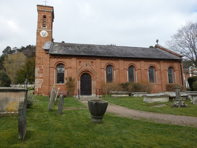
The history of Acton Reynald dates back to medieval times, and evidence of its past can be seen in the architecture of some of its buildings. The village is home to a beautiful church, St. Mary's, which was built in the 12th century and boasts intricate stained glass windows and a striking tower. The church is a focal point of the community and holds regular services and events throughout the year.
Despite its small size, Acton Reynald has a close-knit community that takes pride in preserving its heritage. The village has a few amenities, including a village hall that serves as a meeting place for various community activities. The surrounding countryside offers ample opportunities for outdoor pursuits such as hiking, cycling, and horse riding.
Acton Reynald's location also makes it a convenient base for exploring the wider Shropshire area. The nearby town of Shrewsbury offers a range of amenities, including shops, restaurants, and cultural attractions. The village is also within easy reach of the Shropshire Hills Area of Outstanding Natural Beauty, which is known for its stunning landscapes and scenic walking routes.
In conclusion, Acton Reynald is a charming village in Shropshire that offers a peaceful rural escape and a strong sense of community. Its picturesque setting and proximity to other attractions make it an ideal destination for those seeking a countryside retreat in this beautiful part of England.
If you have any feedback on the listing, please let us know in the comments section below.
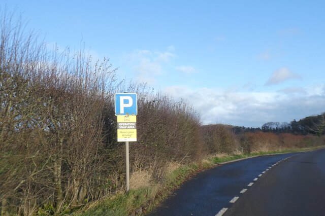
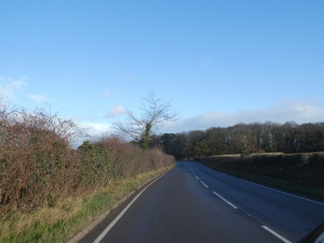
Acton Reynald Images
Images are sourced within 2km of 52.807895/-2.694247 or Grid Reference SJ5323. Thanks to Geograph Open Source API. All images are credited.


Acton Reynald is located at Grid Ref: SJ5323 (Lat: 52.807895, Lng: -2.694247)
Unitary Authority: Shropshire
Police Authority: West Mercia
What 3 Words
///hazel.consumed.brand. Near Clive, Shropshire
Nearby Locations
Related Wikis

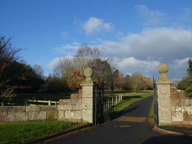
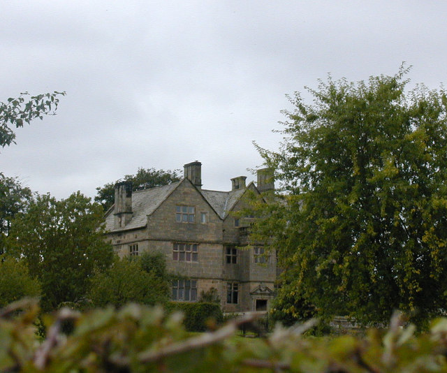
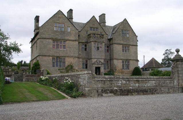
Acton Reynald Hall
Acton Reynald Hall is a 19th-century country house at Acton Reynald, Moreton Corbet, Shropshire, England. It is a Grade II* listed building.The Corbet...

Acton Reynald
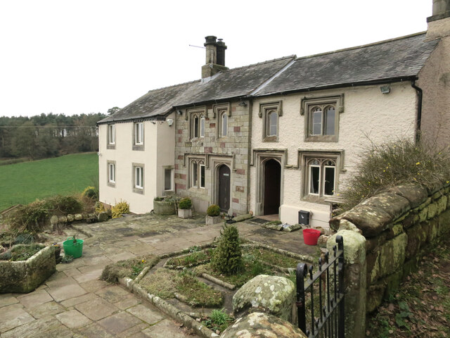
Acton Reynald is a village in the north of Shropshire, England. The village is more of a hamlet in that it does not contain a public house, Post Office...
Grinshill
Grinshill is a small village, and civil parish in Shropshire, England, United Kingdom. The parish is one of the smallest in the district. The population...

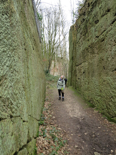
Corbet Wood and Grinshill
Corbet Wood Countryside Heritage Site and Grinshill Site is a mixture of a woodland and quarrying site in Shropshire. It has been designated a SSSI due...
Nearby Amenities
Located within 500m of 52.807895,-2.694247Have you been to Acton Reynald?
Leave your review of Acton Reynald below (or comments, questions and feedback).