Adderstonlee Moss

Downs, Moorland in Roxburghshire

Scotland

Adderstonlee Moss

Hillside grazing above the A6088
Hillside grazing above the A6088 Credit: JThomas

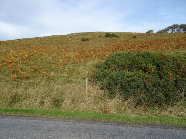
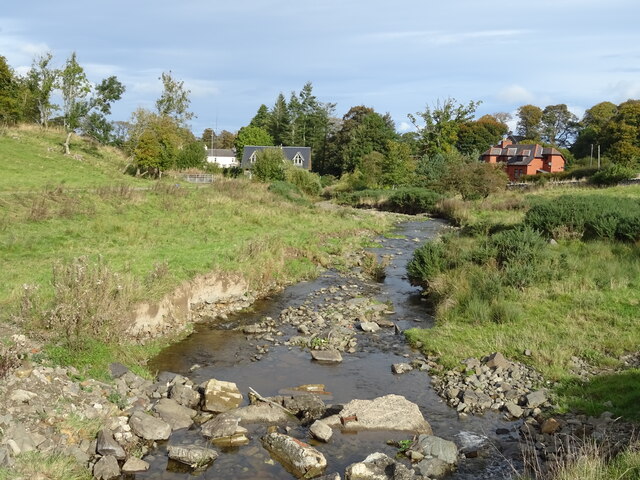
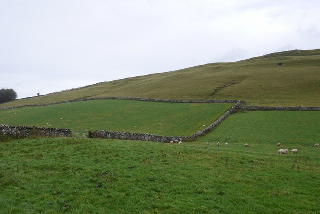
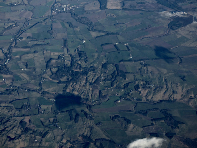
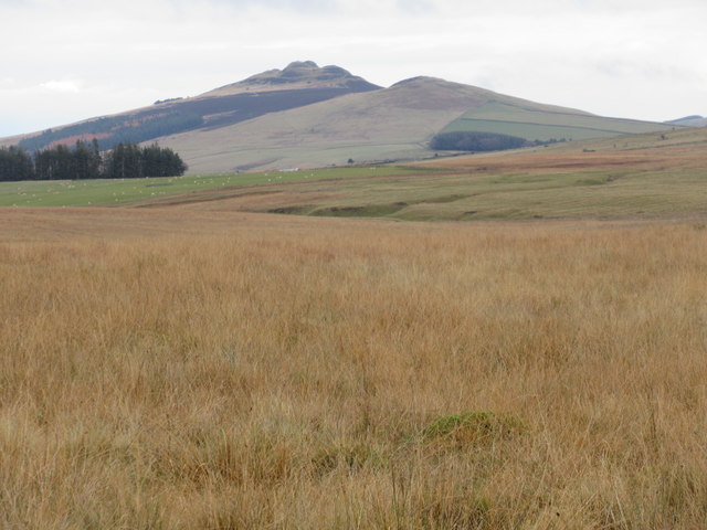
Adderstonlee Moss is a vast expanse of mossland located in Roxburghshire, a historic county in the Scottish Borders region of Scotland. This area is known for its picturesque downs and moorland landscapes.

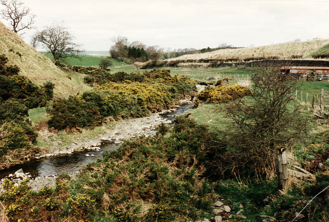
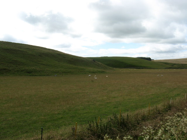
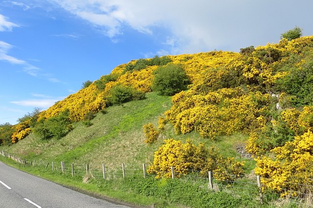
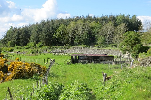
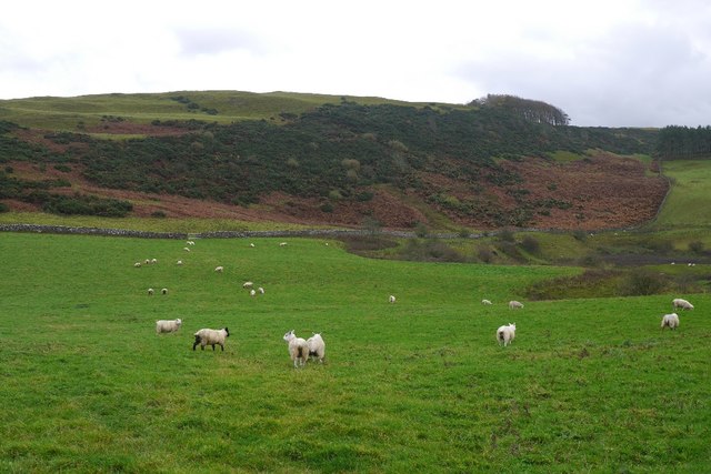
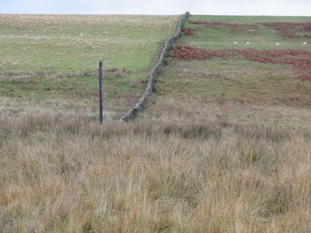
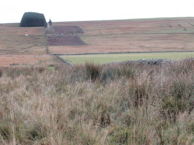
The mossland stretches over several square kilometers and is characterized by its wet, boggy terrain. It is home to a diverse range of plant and animal species, including sphagnum moss, heather, and various types of grasses. The moss provides a habitat for several bird species, such as curlews, lapwings, and snipes, which are often seen nesting and foraging in the area.

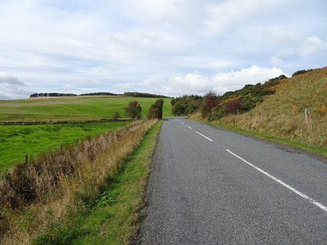
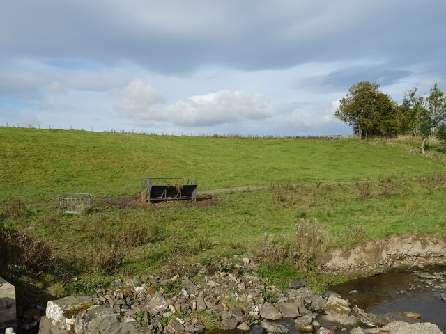
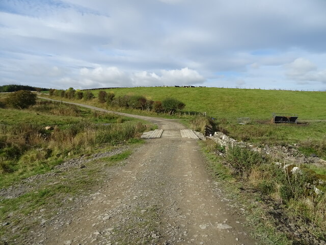
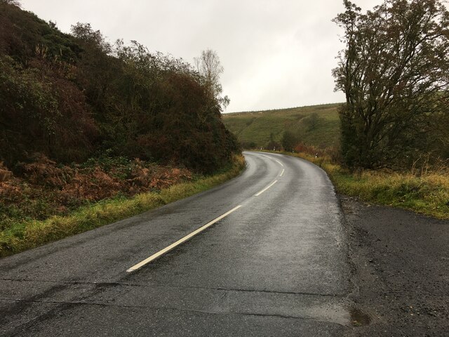
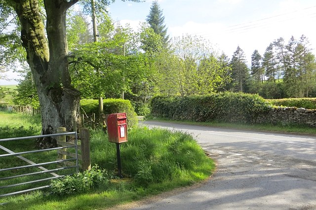
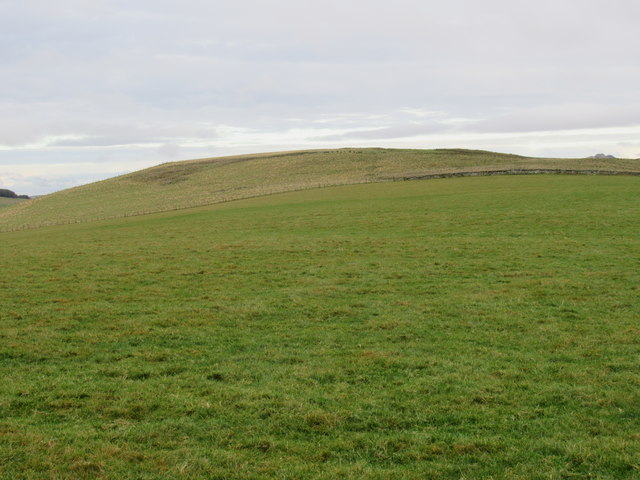
The landscape of Adderstonlee Moss is dominated by rolling hills and gentle slopes, making it a popular destination for hikers, nature enthusiasts, and birdwatchers. The unique ecosystem of the mossland offers visitors a chance to observe and appreciate the natural beauty of the Scottish countryside.

The mossland is also of historical and ecological significance. It is believed to have formed during the last ice age and has since been designated as a Site of Special Scientific Interest (SSSI). This designation aims to protect and conserve the area's unique flora and fauna.

Overall, Adderstonlee Moss in Roxburghshire offers a tranquil and serene setting for those seeking to immerse themselves in the beauty of Scotland's natural landscapes. Whether it be enjoying a leisurely walk, observing wildlife, or simply taking in the breathtaking views, this area has something to offer for everyone interested in exploring the great outdoors.

If you have any feedback on the listing, please let us know in the comments section below.

Adderstonlee Moss Images

Images are sourced within 2km of 55.399447/-2.7389423 or Grid Reference NT5311. Thanks to Geograph Open Source API. All images are credited.

Hillside grazing above the A6088
A6088 towards Hawick
Grazing, Kirkton
Grazing, Kirkton
Farm track over the Kirkton Burn
The Kirkton Burn
The Kirkton Burn
A6088 near Kirkton
A6088 near Kirkton
Kirkton Burn Flowing between the gorse bushes, the burn is seen from a layby beside the A6088.

There is a story about how I came to be parked in this layby.   Whilst driving north to Edinburgh on the A68 - a route chosen because it goes through family ancestral territory - The car developed an interesting scraping sound under braking.  Initially I suspected a small stone trapped in the brake shoes but as it got worse I decided to head for the nearest large town, Hawick, via the A6088.  I stopped in this layby to check for any visual signs of the cause and decided to take a photo while I was there.   Subsequently in Hawick a mechanic specialising in farm machinery diagnosed the fault as failed straking on the offside front wheel which he repaired, allowing us to continue our journey via the A698.
Kirkton Burn
Flowing between the gorse bushes, the burn is seen from a layby beside the A6088. There is a story about how I came to be parked in this layby. Whilst driving north to Edinburgh on the A68 - a route chosen because it goes through family ancestral territory - The car developed an interesting scraping sound under braking. Initially I suspected a small stone trapped in the brake shoes but as it got worse I decided to head for the nearest large town, Hawick, via the A6088. I stopped in this layby to check for any visual signs of the cause and decided to take a photo while I was there. Subsequently in Hawick a mechanic specialising in farm machinery diagnosed the fault as failed straking on the offside front wheel which he repaired, allowing us to continue our journey via the A698.
Peaceful grazing lands At Upper Tofts Farm at Kirkton in Roxburghshire.
Peaceful grazing lands
At Upper Tofts Farm at Kirkton in Roxburghshire.
Whins, Kirkton Flowering gorse above the A6088.
Whins, Kirkton
Flowering gorse above the A6088.
Gathering pens, Kirkton Beside the A6088.
Gathering pens, Kirkton
Beside the A6088.
Post box, Kirkton Beside the A6088.
Post box, Kirkton
Beside the A6088.
Depression under Sunnyside Hill There is a substantial depression with no obvious exit here. The map shows a loch, but in this period of wet weather there was only a marsh to be seen -  a turlough?
Depression under Sunnyside Hill
There is a substantial depression with no obvious exit here. The map shows a loch, but in this period of wet weather there was only a marsh to be seen - a turlough?
Sunnyside Hill Improved land above Hawick.
Sunnyside Hill
Improved land above Hawick.
Whiteacres Hill from the air South east of the town of Hawick.
Whiteacres Hill from the air
South east of the town of Hawick.
Dyke up Hoggfield Hill near Hawick in the Scottish Borders New power line gone in meantime!
Dyke up Hoggfield Hill near Hawick in the Scottish Borders
New power line gone in meantime!
View south-east off Hoggfield Hill near Hawick Forestry felled.
View south-east off Hoggfield Hill near Hawick
Forestry felled.
The highlands of the lowlands viewed from Hoggfield Hill near Hawick A bonny country tae test human endeavour - mair invitin' than true hielands but nae less likely tae wear doon the unfortunate.
The highlands of the lowlands viewed from Hoggfield Hill near Hawick
A bonny country tae test human endeavour - mair invitin' than true hielands but nae less likely tae wear doon the unfortunate.
Hoggfield Hill near Hawick
Show me another place!

Adderstonlee Moss is located at Grid Ref: NT5311 (Lat: 55.399447, Lng: -2.7389423)

Unitary Authority: The Scottish Borders

Police Authority: The Lothians and Scottish Borders

What 3 Words

///tedious.throat.finest. Near Hawick, Scottish Borders

Nearby Locations

Adderstonlee Moss

Related Wikis

Kirkton, Scottish Borders

Kirkton is a village in the Scottish Borders area of Scotland, off the A6088, near Hawick. Grid Ref. NT5413. It is a former parish, amalgamated into the...

Slitrig Water

Slitrig Water (archaic Scots: Slitterick Waiter; current Southern Scots: Slitrig Witter), also known as the River Slitrig, is a river in the Scottish Borders...

Cavers Castle

Cavers Castle, also known as Cavers House, is a ruined tower house located at Cavers, Scottish Borders, Scotland. Cavers Castle was a much extended tower...

Stobs railway station

Stobs railway station served the hamlet of Barnes, Scottish Borders, Scotland from 1862 to 1969 on the Border Union Railway. == History == The station...

Cavers, Scottish Borders

Cavers is a parish in the Scottish Borders area of Scotland, in the former county of Roxburghshire, south and east of Hawick. The largest village in the...

Hawick

Hawick ( HOYK; Scots: Haaick; Scottish Gaelic: Hamhaig) is a town in the Scottish Borders council area and historic county of Roxburghshire in the east...

Hawick Town Hall

Hawick Town Hall is a municipal building in the High Street, Hawick, Scotland. The structure, which served as the meeting place of Hawick Burgh Council...

Mansfield Park, Hawick

Mansfield Park is a rugby union ground in Hawick, Scotland, with a capacity of approximately 5,000. It is the home of Hawick Rugby Football Club, who currently...

Nearby Amenities

Located within 500m of 55.399447,-2.7389423
The data included in this document is from www.openstreetmap.org. The data is made available under ODbL.

Have you been to Adderstonlee Moss?

Leave your review of Adderstonlee Moss below (or comments, questions and feedback).