Tunley Moss
Downs, Moorland in Lancashire West Lancashire
England
Tunley Moss
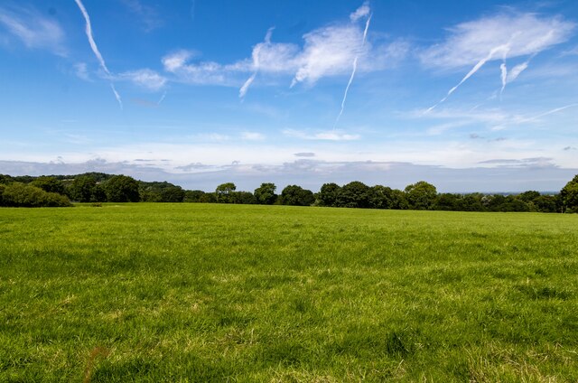
Tunley Moss is a picturesque area located in Lancashire, England. Situated amidst the stunning Downs and Moorland, it offers a unique blend of natural beauty and tranquility. Covering a vast expanse of land, Tunley Moss is a haven for nature enthusiasts and outdoor adventurers.
The area is characterized by its rolling hills, open grasslands, and scattered patches of dense woodland. The landscape is dotted with numerous streams and small ponds, creating a rich and diverse ecosystem. The moss itself is a wetland, with marshes and peat bogs that provide a habitat for a variety of plant and animal species.
The flora in Tunley Moss is particularly diverse, boasting an array of wildflowers, heather, and mosses. The vibrant colors and fragrant scents of these plants create a captivating sight for visitors. The moss is also home to a wide range of wildlife, including birds, mammals, and reptiles. Ornithologists can delight in spotting rare bird species such as curlews and lapwings.
For outdoor enthusiasts, Tunley Moss offers ample opportunities for activities such as hiking, birdwatching, and wildlife photography. The well-maintained trails and pathways allow visitors to explore the area and soak in its natural beauty. The peaceful surroundings make it an ideal spot for a relaxing picnic or a leisurely stroll.
Overall, Tunley Moss in Lancashire is a hidden gem, offering a diverse and captivating landscape for nature lovers to explore. Its combination of Downs, Moorland, and wetland features provide a unique and enriching experience for all who venture there.
If you have any feedback on the listing, please let us know in the comments section below.
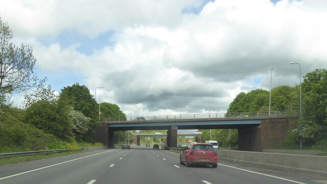
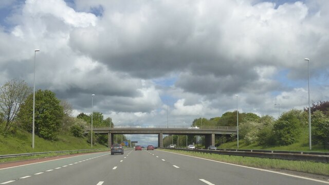
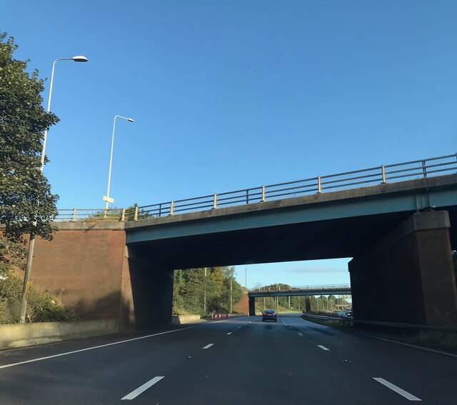
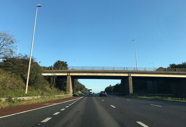
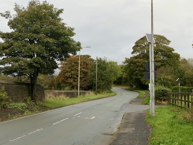
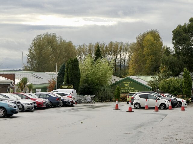
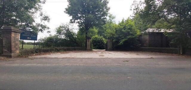
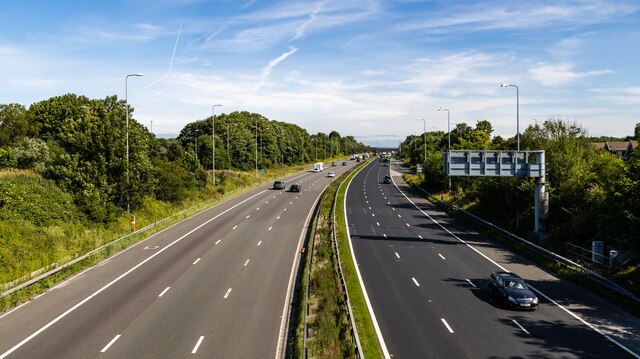
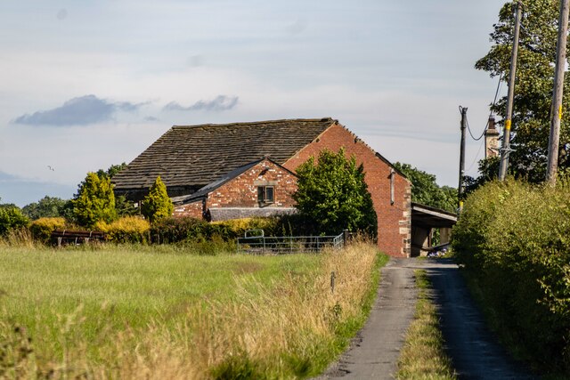
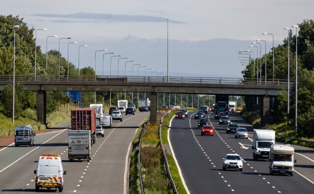
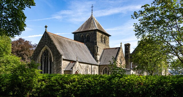
Tunley Moss Images
Images are sourced within 2km of 53.598465/-2.7067143 or Grid Reference SD5311. Thanks to Geograph Open Source API. All images are credited.


Tunley Moss is located at Grid Ref: SD5311 (Lat: 53.598465, Lng: -2.7067143)
Administrative County: Lancashire
District: West Lancashire
Police Authority: Lancashire
What 3 Words
///divorcing.inclines.fumes. Near Appley Bridge, Lancashire
Nearby Locations
Related Wikis

Standish-with-Langtree
Standish-with-Langtree was, and to a limited extent remains, a local government district centred on Standish, Lancashire, in North West England. Historically...
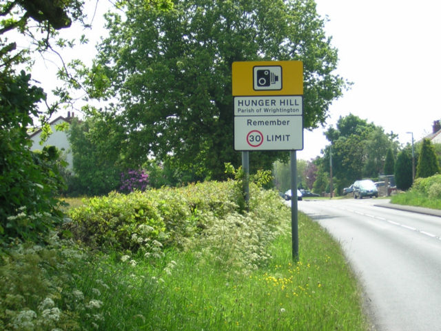
Hunger Hill, Lancashire
Hunger Hill is a small village three-quarters of a mile (1.2 km) from the centre of Wrightington, in West Lancashire, England. It is described as a rural...

Wrightington Hospital
Wrightington Hospital is a health facility in Wrightington, Lancashire, England. It is managed by the Wrightington, Wigan and Leigh NHS Foundation Trust...

Wrightington
Wrightington is a civil parish in West Lancashire, England, with an area of 3,915½ acres. The surface is hilly, rising to over 400 ft. at Harrock on the...
Nearby Amenities
Located within 500m of 53.598465,-2.7067143Have you been to Tunley Moss?
Leave your review of Tunley Moss below (or comments, questions and feedback).