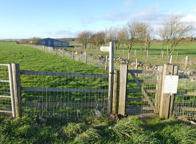
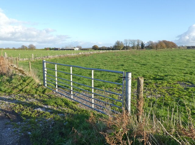
Rabbit Warren
Downs, Moorland in Somerset Mendip
England
Rabbit Warren
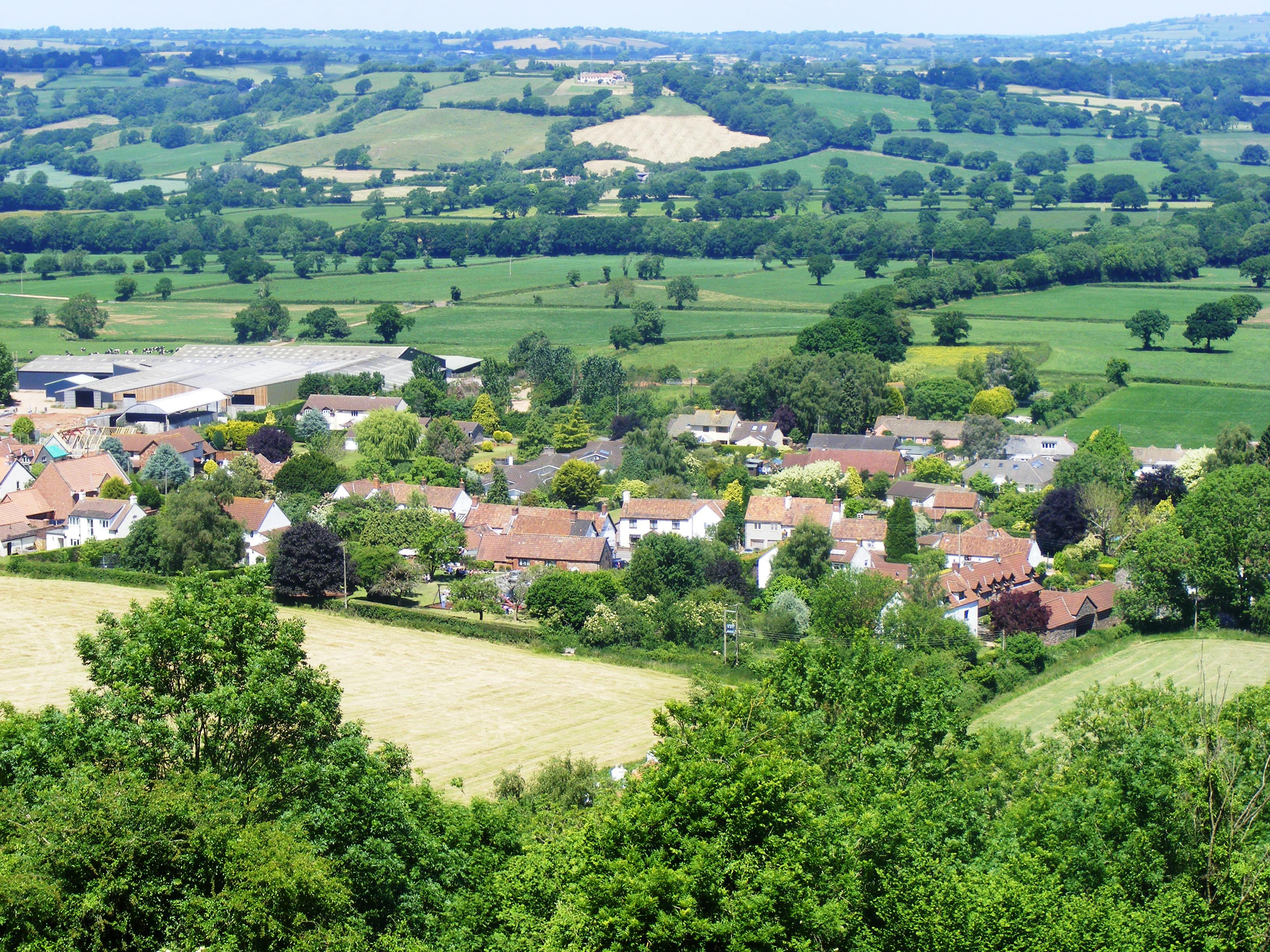
Rabbit Warren, Somerset is a picturesque village located in the scenic county of Somerset, England. Situated amidst lush greenery and rolling hills, it is best known for its abundant rabbit population, which has earned the village its name.
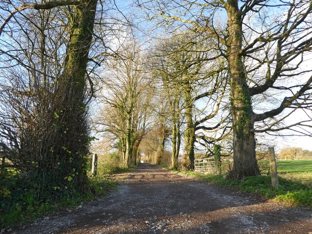
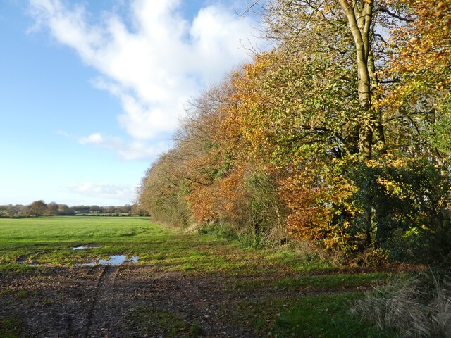
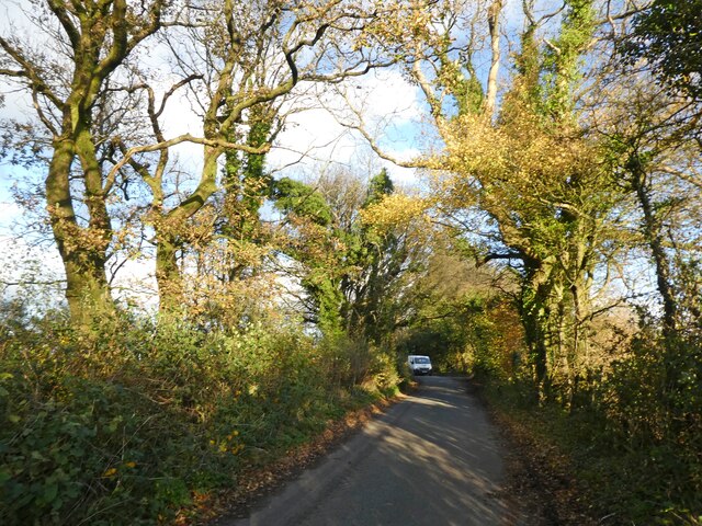
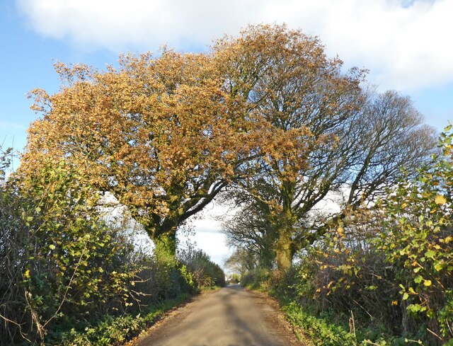
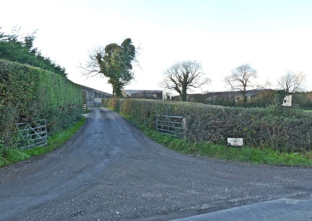
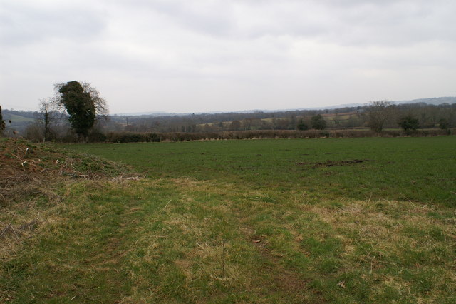
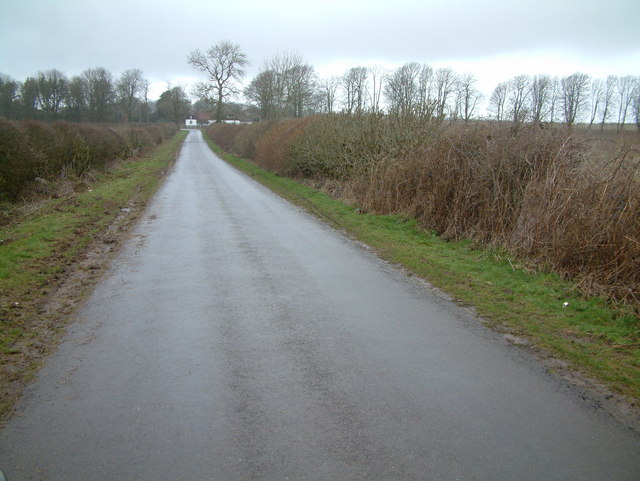
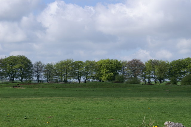
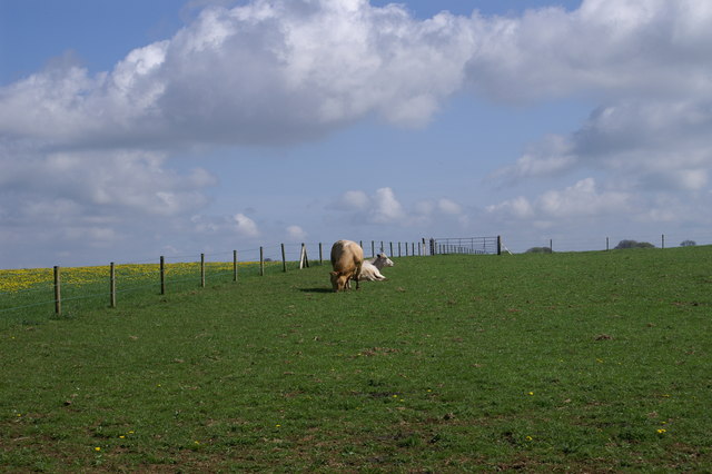
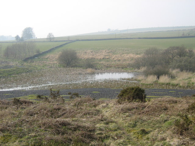
The village is nestled within the heart of the Somerset Downs and Moorland area, offering residents and visitors breathtaking views of the surrounding countryside. The landscape is characterized by undulating hills, extensive grasslands, and pockets of dense woodland, creating an idyllic setting for outdoor enthusiasts and nature lovers.
Rabbit Warren boasts a close-knit community, with a small population that values the tranquility and beauty of its surroundings. The village offers a peaceful retreat away from the hustle and bustle of city life, with a handful of traditional cottages and farmhouses dotting the landscape.
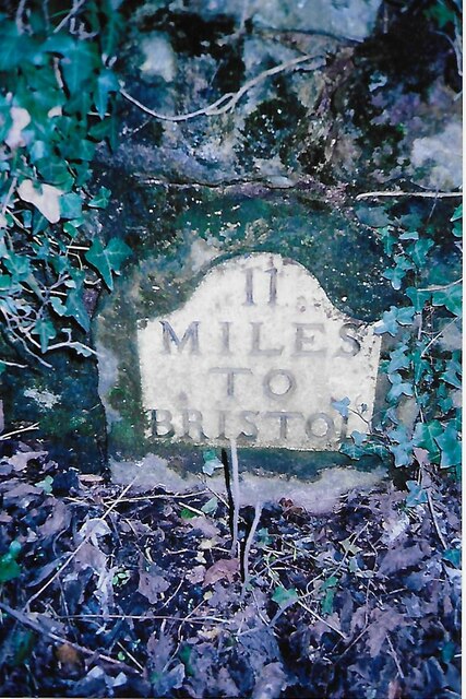
Despite its small size, Rabbit Warren is rich in history, with evidence of human habitation dating back thousands of years. The area is home to several ancient burial sites and archaeological remains, providing a glimpse into the village's past.
Visitors to Rabbit Warren can enjoy a range of outdoor activities, including hiking, cycling, and birdwatching, with numerous trails and paths crisscrossing the countryside. The village also serves as a gateway to the larger Somerset Downs and Moorland, offering access to a wider network of walking routes and nature reserves.
In conclusion, Rabbit Warren, Somerset is a charming village that offers a peaceful retreat amidst stunning natural beauty. Its picturesque landscapes, rich history, and close-knit community make it a hidden gem in the Somerset countryside.
If you have any feedback on the listing, please let us know in the comments section below.
Rabbit Warren Images
Images are sourced within 2km of 51.300263/-2.6818318 or Grid Reference ST5255. Thanks to Geograph Open Source API. All images are credited.
Rabbit Warren is located at Grid Ref: ST5255 (Lat: 51.300263, Lng: -2.6818318)
Administrative County: Somerset
District: Mendip
Police Authority: Avon and Somerset
What 3 Words
///printout.sampled.version. Near Compton Martin, Somerset
Nearby Locations
Related Wikis

A368 road
The A368 is a part primary status A road in North Somerset, England. It runs from Marksbury (near Bath) to Banwell (near Weston-super-Mare) along the northern...

Compton Martin Ochre Mine
Compton Martin Ochre Mine (grid reference ST543566) is a 0.85 hectare geological and biological Site of Special Scientific Interest located on the north...

Charterhouse Camp
Charterhouse Camp is a univallate Iron Age hillfort in the Mendip district of Somerset, England. The hillfort is situated approximately 0.6 miles (0.97...

Lamb Leer
Lamb Leer (grid reference ST544550) is a 14.59 hectare (36.04 acre) geological Site of Special Scientific Interest between East Harptree and Priddy in...

Church of St Michael the Archangel, Compton Martin
The Parish church of St Michael the Archangel (grid reference ST545570) is in the village of Compton Martin, Somerset, England. The church is a grade I...

Charterhouse (Roman town)
Charterhouse was a town in the Roman province of Britannia. Its site is located just to the west of the village of Charterhouse-on-Mendip in the English...

Ubley
Ubley is a small village and civil parish within the Chew Valley in Bath and North East Somerset about 9 miles (14.5 km) south of Bristol. It is just south...
Compton Martin
Compton Martin is a small village and civil parish within the Chew Valley in Somerset and in the Bath and North East Somerset unitary authority in England...
Nearby Amenities
Located within 500m of 51.300263,-2.6818318Have you been to Rabbit Warren?
Leave your review of Rabbit Warren below (or comments, questions and feedback).