Fittie Brae
Downs, Moorland in Aberdeenshire
Scotland
Fittie Brae
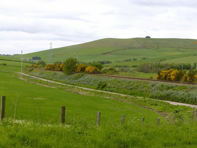
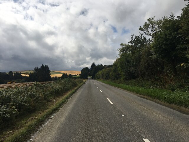
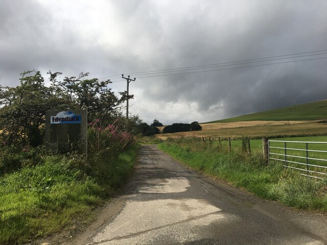
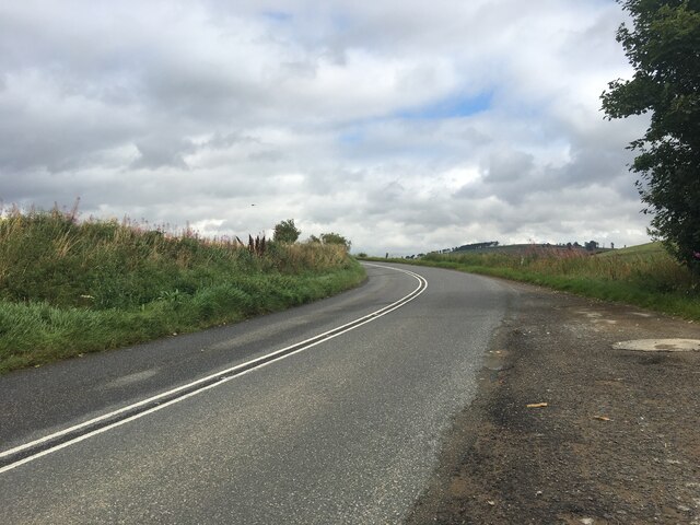
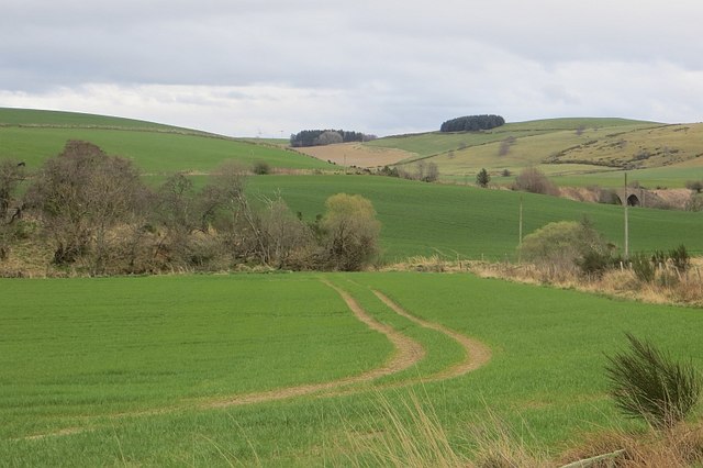
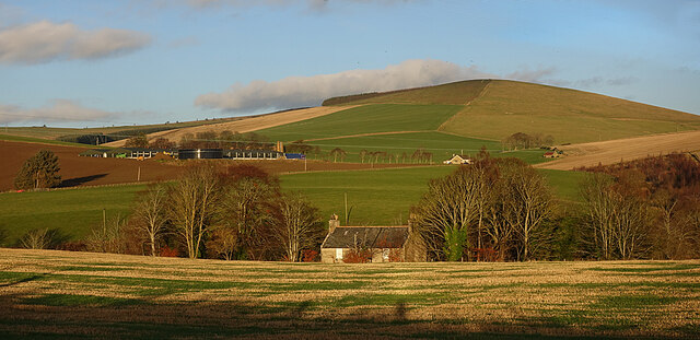
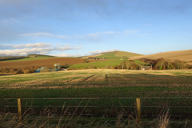
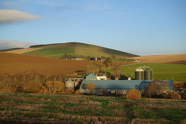
Fittie Brae is a quaint and scenic area located in Aberdeenshire, Scotland. Nestled among the downs and moorland, it offers breathtaking views of the surrounding natural beauty. This picturesque location is known for its idyllic charm and peaceful atmosphere.
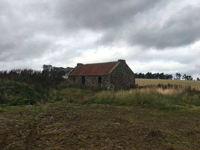
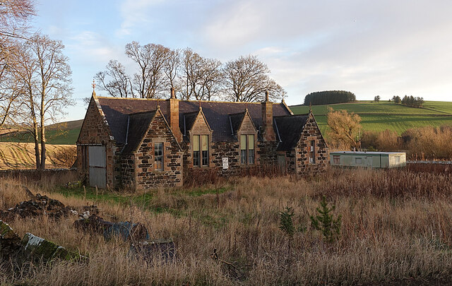
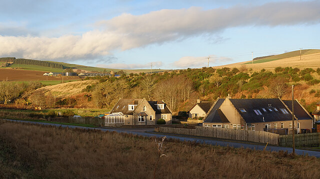
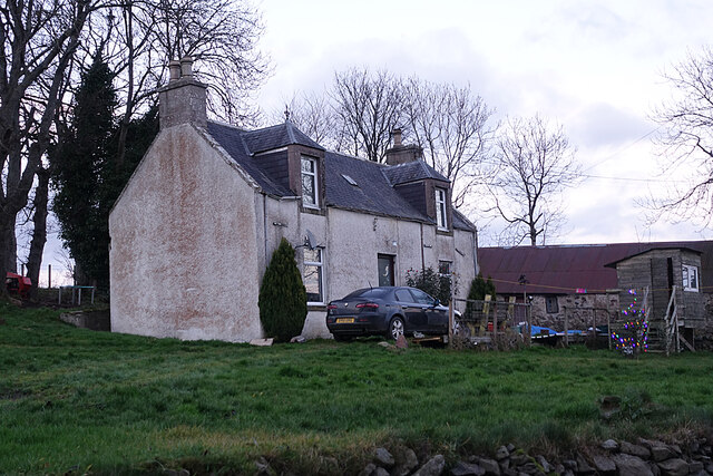
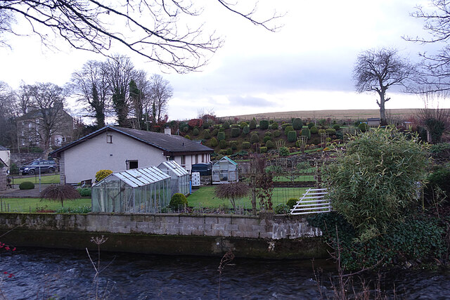
The area is characterized by its traditional stone houses, which exude a timeless appeal. These charming cottages are surrounded by well-maintained gardens filled with vibrant flowers and lush greenery. The architecture of Fittie Brae reflects the region's rich history and heritage, showcasing the unique blend of Scottish design and aesthetics.
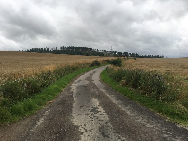
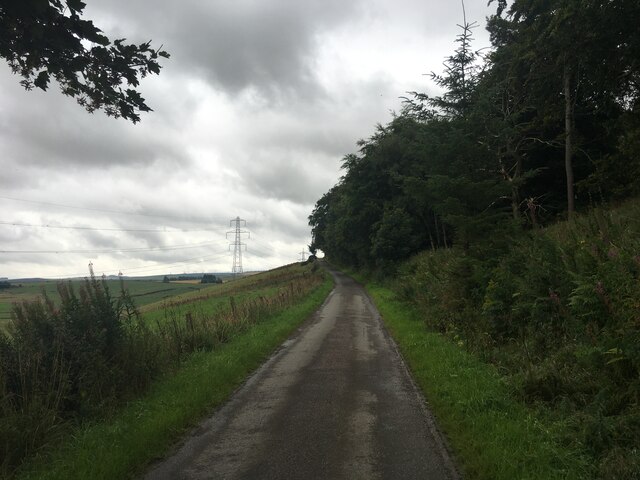
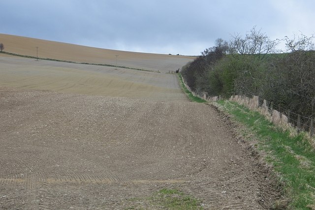
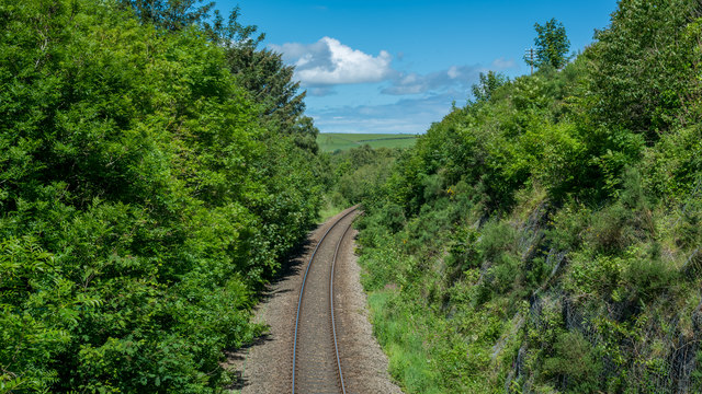
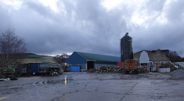
Fittie Brae is a haven for nature enthusiasts and outdoor lovers. The downs and moorland surrounding the area provide ample opportunities for hiking, walking, and exploring the scenic landscapes. Visitors can enjoy the tranquility of the countryside while taking in the stunning vistas of rolling hills and open skies.
Additionally, Fittie Brae is located in close proximity to the North Sea coastline, offering visitors the chance to enjoy a day at the beach. The sandy shores and pristine waters provide a refreshing escape, perfect for swimming, sunbathing, and beachside picnics.
The area is also known for its friendly and welcoming community. The locals take great pride in their heritage and are always happy to share stories and recommendations with visitors.
In conclusion, Fittie Brae is a charming and peaceful haven tucked away in Aberdeenshire. With its stunning natural surroundings, historic architecture, and warm community spirit, it is a must-visit destination for those seeking a tranquil escape in the Scottish countryside.
If you have any feedback on the listing, please let us know in the comments section below.
Fittie Brae Images
Images are sourced within 2km of 57.422494/-2.79061 or Grid Reference NJ5237. Thanks to Geograph Open Source API. All images are credited.
Fittie Brae is located at Grid Ref: NJ5237 (Lat: 57.422494, Lng: -2.79061)
Unitary Authority: Aberdeenshire
Police Authority: North East
What 3 Words
///spicy.upward.sheet. Near Huntly, Aberdeenshire
Nearby Locations
Related Wikis

Burn of Tullochbeg
Burn of Tullochbeg is a burn which marks the boundary of the parish of Huntly, Aberdeenshire, Scotland. == References ==

Jubilee Hospital, Huntly
The Jubilee Hospital is a community hospital in Huntly, Aberdeenshire, Scotland. It is managed by NHS Grampian. == History == The hospital, which was financed...
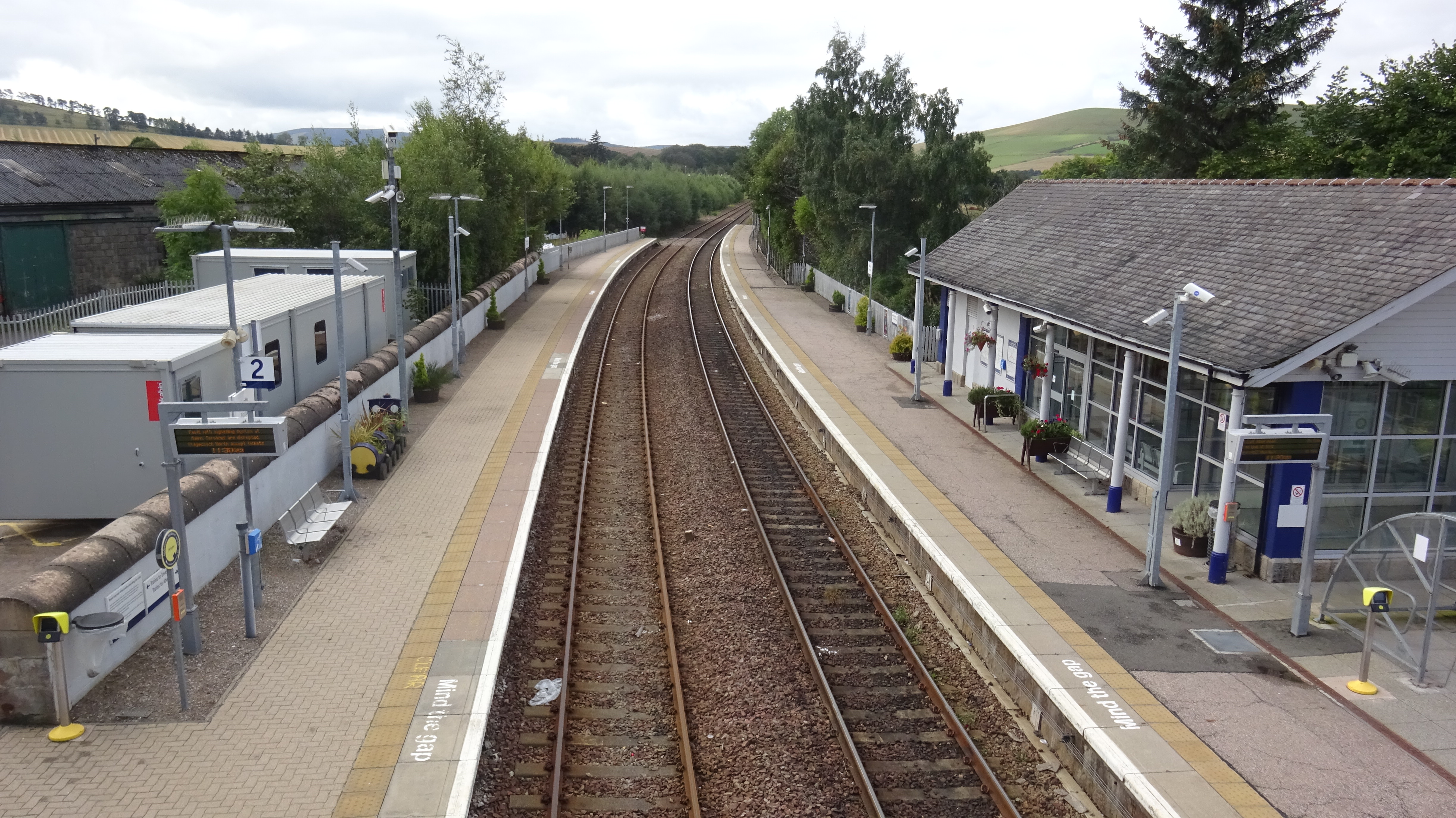
Huntly railway station
Huntly railway station is a railway station serving the town of Huntly in Scotland. The station is managed by ScotRail and is on the Aberdeen to Inverness...

Huntly
Huntly (Scottish Gaelic: Srath Bhalgaidh or Hunndaidh) is a town in Aberdeenshire, Scotland, formerly known as Milton of Strathbogie or simply Strathbogie...
Nearby Amenities
Located within 500m of 57.422494,-2.79061Have you been to Fittie Brae?
Leave your review of Fittie Brae below (or comments, questions and feedback).